Shawheath Plantation
Wood, Forest in Cheshire
England
Shawheath Plantation
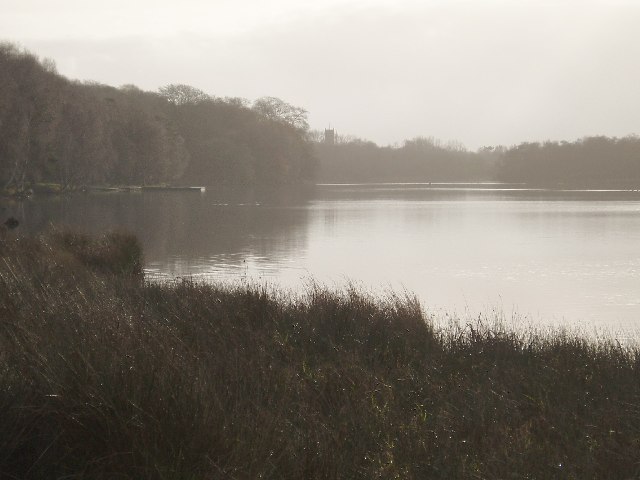
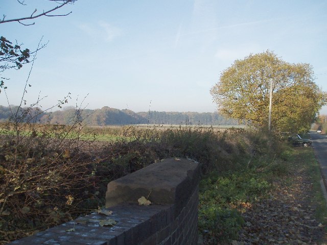
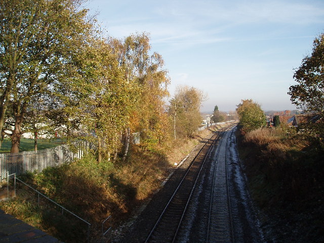
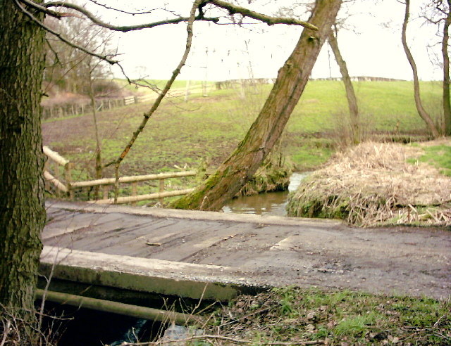
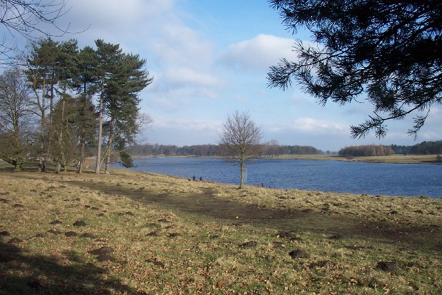
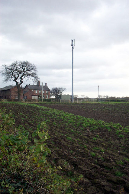
Shawheath Plantation is a picturesque woodland located in the county of Cheshire, England. This enchanting forest spans across an area of approximately 50 acres and is renowned for its natural beauty and diverse ecosystem. The plantation is situated near the village of Shawheath, providing a tranquil escape from the hustle and bustle of nearby urban areas.
The woodland is predominantly comprised of ancient oak trees, with their majestic branches reaching towards the sky. These towering trees create a dense canopy, allowing only dappled sunlight to filter through the leaves, creating an ethereal atmosphere within the forest. Additionally, the plantation is home to a variety of other tree species, including beech, ash, and birch, further enhancing its natural charm.
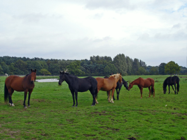
Shawheath Plantation is a haven for wildlife enthusiasts, offering a sanctuary for numerous species of birds, mammals, and insects. Birdwatchers can expect to spot a wide range of feathered friends, including woodpeckers, owls, and various songbirds. Squirrels can be seen scampering through the undergrowth, while badgers and foxes occasionally make their presence known, adding to the sense of wilderness.
The forest is crisscrossed by a network of footpaths and trails, providing ample opportunity for visitors to explore and discover its hidden treasures. Nature enthusiasts can enjoy leisurely walks, observing the flora and fauna, or simply find a quiet spot to relax and appreciate the serenity of the woodland. Shawheath Plantation truly offers a slice of tranquility in the heart of Cheshire, making it a popular destination for nature lovers and those seeking solace in the natural world.
If you have any feedback on the listing, please let us know in the comments section below.
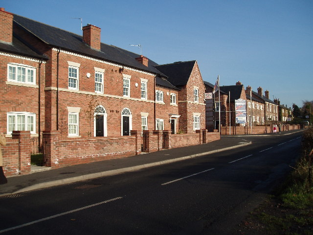
Shawheath Plantation Images
Images are sourced within 2km of 53.317713/-2.3554771 or Grid Reference SJ7680. Thanks to Geograph Open Source API. All images are credited.


Shawheath Plantation is located at Grid Ref: SJ7680 (Lat: 53.317713, Lng: -2.3554771)
Unitary Authority: Cheshire East
Police Authority: Cheshire
What 3 Words
///fuses.relaxed.uniform. Near Knutsford, Cheshire
Related Wikis

Dukenfield Hall
Dukenfield Hall is a country house between Knutsford and Mobberley in Cheshire, England. Dukenfield Hall is recorded in the National Heritage List for...
Tatton, Cheshire
Tatton is a former civil parish, now in the parish of Millington and Rostherne, in the Cheshire East district and ceremonial county of Cheshire in England...

Tatton Old Hall
Tatton Old Hall is a historic building in Tatton Park near Knutsford, Cheshire, England. It is designated by English Heritage as a Grade II* listed building...
St Cross Church, Knutsford
St Cross Church is in the town of Knutsford, Cheshire, England. It is recorded in the National Heritage List for England as a designated Grade II* listed...

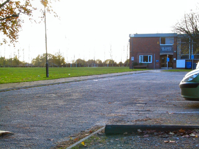
Egerton F.C.
Egerton Football Club is a football club based in Knutsford, Cheshire, England. They are currently members of the Cheshire League Premier Division and...

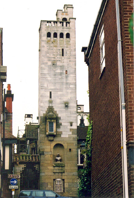
Gaskell Memorial Tower and King's Coffee House
The Gaskell Memorial Tower and King's Coffee House are in King Street, Knutsford, Cheshire, England. As originally built, it had the triple function of...

Knutsford
Knutsford () is a market town in Cheshire, England; it is located 14 miles (23 km) south-west of Manchester, 9 miles (14 km) north-west of Macclesfield...
Knutsford War Memorial Cottage Hospital
Knutsford War Memorial Cottage Hospital is a former hospital in Knutsford, Cheshire. It was designed by architect Sir Percy Worthington and opened in 1922...
Nearby Amenities
Located within 500m of 53.317713,-2.3554771Have you been to Shawheath Plantation?
Leave your review of Shawheath Plantation below (or comments, questions and feedback).