Shawheath Coverts
Wood, Forest in Cheshire
England
Shawheath Coverts
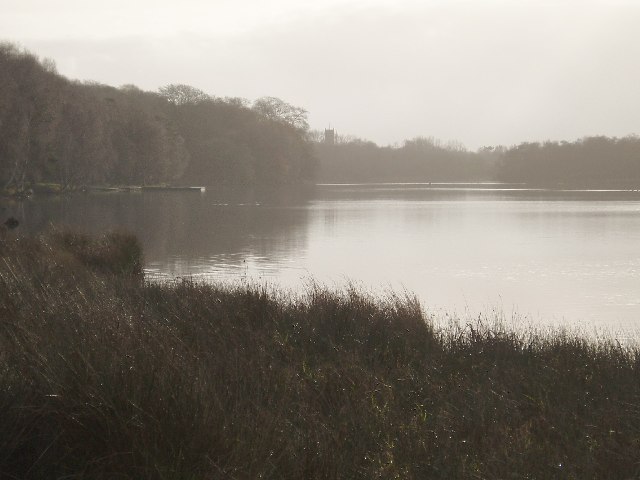
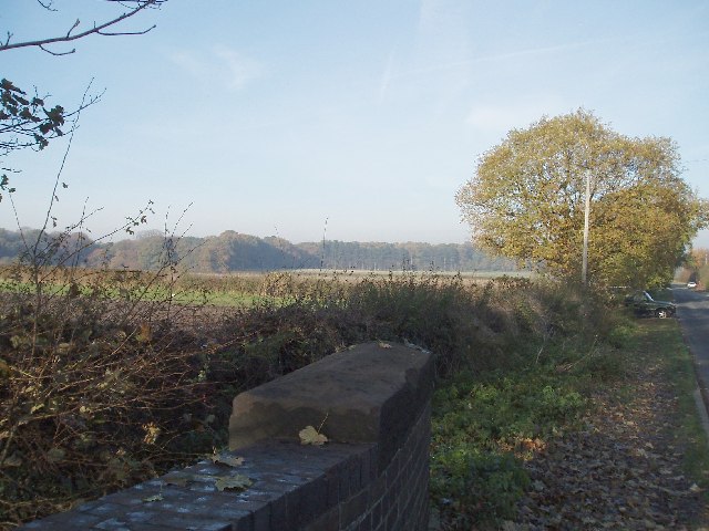
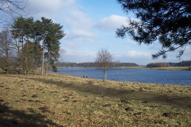
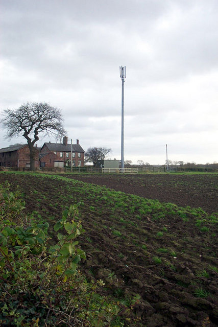
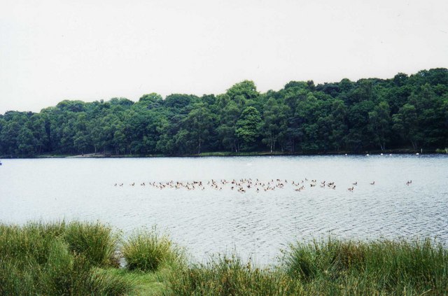
Shawheath Coverts, located in Cheshire, is a picturesque woodland area known for its natural beauty and diverse ecosystem. Spanning across a vast area, the coverts are composed of a variety of trees including oak, beech, and birch, creating a dense forest that provides a habitat for numerous species of flora and fauna.
The forest floor is blanketed with a lush carpet of moss and ferns, adding to its enchanting ambiance. Walking trails wind through the coverts, allowing visitors to explore the area and appreciate the serenity of nature. These trails are well-maintained and offer a peaceful retreat for hikers and nature enthusiasts.
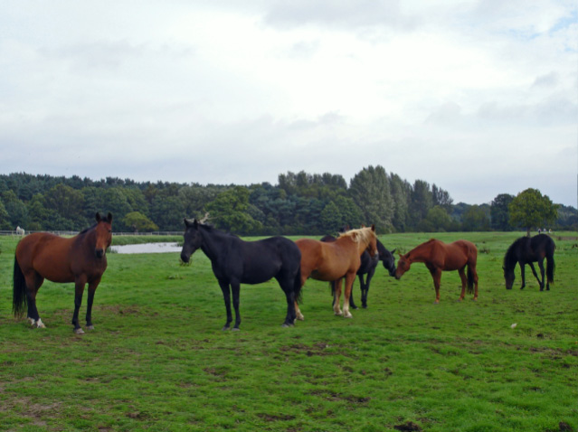
Shawheath Coverts is also home to a diverse range of wildlife. Birdwatchers flock to the area to catch glimpses of various bird species, including woodpeckers, owls, and thrushes. The forest is also inhabited by squirrels, rabbits, and deer, providing ample opportunities for wildlife spotting and photography.
In addition to its natural beauty, Shawheath Coverts holds historical significance. The woodland has been protected and preserved for several centuries, and remnants of ancient structures and settlements can still be found within its boundaries. Archaeologists have discovered evidence of prehistoric human activity, making it an intriguing site for history enthusiasts.
Overall, Shawheath Coverts in Cheshire offers a tranquil escape from the hustle and bustle of city life. Its breathtaking scenery, abundant wildlife, and rich history make it a must-visit destination for those seeking a connection with nature and a glimpse into the past.
If you have any feedback on the listing, please let us know in the comments section below.
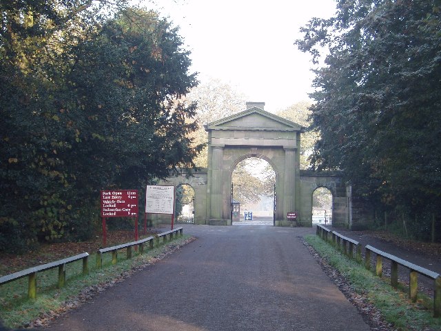
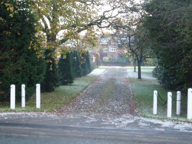
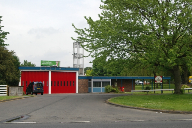
Shawheath Coverts Images
Images are sourced within 2km of 53.320741/-2.3559226 or Grid Reference SJ7680. Thanks to Geograph Open Source API. All images are credited.


Shawheath Coverts is located at Grid Ref: SJ7680 (Lat: 53.320741, Lng: -2.3559226)
Unitary Authority: Cheshire East
Police Authority: Cheshire
What 3 Words
///careless.headless.culminate. Near Knutsford, Cheshire
Related Wikis

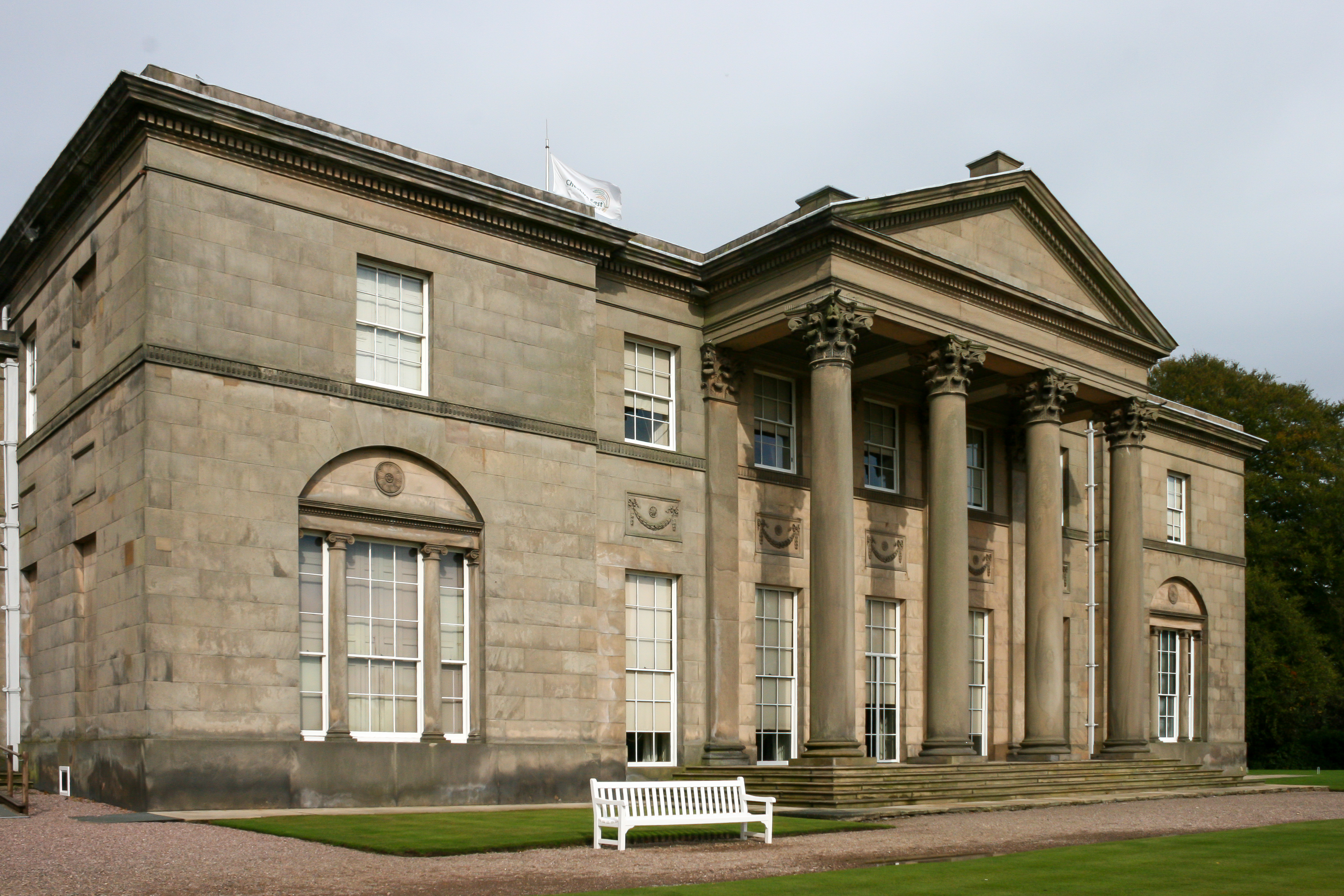
Tatton Old Hall
Tatton Old Hall is a historic building in Tatton Park near Knutsford, Cheshire, England. It is designated by English Heritage as a Grade II* listed building...
Tatton, Cheshire
Tatton is a former civil parish, now in the parish of Millington and Rostherne, in the Cheshire East district and ceremonial county of Cheshire in England...

Dukenfield Hall
Dukenfield Hall is a country house between Knutsford and Mobberley in Cheshire, England. Dukenfield Hall is recorded in the National Heritage List for...

Mobberley railway station
Mobberley railway station serves the village of Mobberley in Cheshire, England. It is to the north of the village and is managed by Northern Trains. The...

Egerton F.C.
Egerton Football Club is a football club based in Knutsford, Cheshire, England. They are currently members of the Cheshire League Premier Division and...
St Cross Church, Knutsford
St Cross Church is in the town of Knutsford, Cheshire, England. It is recorded in the National Heritage List for England as a designated Grade II* listed...

Tatton (UK Parliament constituency)
Tatton is a constituency in Cheshire represented in the House of Commons of the UK Parliament since 2017 by Esther McVey, a Conservative. == Constituency... ==
Tatton Hall
Tatton Hall is a country house in Tatton Park near Knutsford, Cheshire, England. It is designated as a Grade I listed building and is open to the public...
Nearby Amenities
Located within 500m of 53.320741,-2.3559226Have you been to Shawheath Coverts?
Leave your review of Shawheath Coverts below (or comments, questions and feedback).