Benstoken Coppice

Wood, Forest in Worcestershire Malvern Hills

England

Benstoken Coppice

Leigh Sinton - converted oast house The entrance to the village and a tastefully converted oast house that retains a cowl. There are quite a few visible on the road between Worcester and Hereford but i don't know if any are unconverted.
Leigh Sinton - converted oast house Credit: Chris Allen

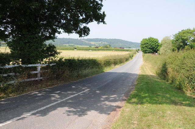
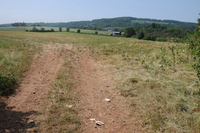
Benstoken Coppice is a picturesque woodland located in the county of Worcestershire, England. Spread across an area of approximately 50 acres, it is nestled within the stunning Malvern Hills, a designated Area of Outstanding Natural Beauty.

The coppice is primarily composed of native broadleaf trees, including oak, ash, and beech, which create a diverse and vibrant ecosystem. The woodland floor is carpeted with a variety of wildflowers, ferns, and mosses, lending a serene and tranquil atmosphere to the area.

Benstoken Coppice is renowned for its rich biodiversity, providing a habitat for numerous species of birds, mammals, and insects. Birdwatchers can spot a range of species, including thrushes, woodpeckers, and owls, while small mammals like squirrels, badgers, and foxes roam the forest floor. The woodland's diverse insect population includes butterflies, bees, and beetles.

The coppice offers several walking trails and footpaths, allowing visitors to explore its natural beauty and immerse themselves in the peaceful surroundings. The dense canopy of trees provides shade on hot summer days, while the vibrant colors of autumn make it a popular destination for nature enthusiasts year-round.

Managed by local conservation organizations, Benstoken Coppice is preserved and protected, ensuring the sustainability of its ecosystem and maintaining its natural beauty for future generations to enjoy. It serves as a valuable educational resource, with guided tours and events organized to raise awareness about the importance of woodland conservation.

Overall, Benstoken Coppice is a haven of tranquility and natural beauty, offering a welcome escape from the hustle and bustle of modern life.

If you have any feedback on the listing, please let us know in the comments section below.

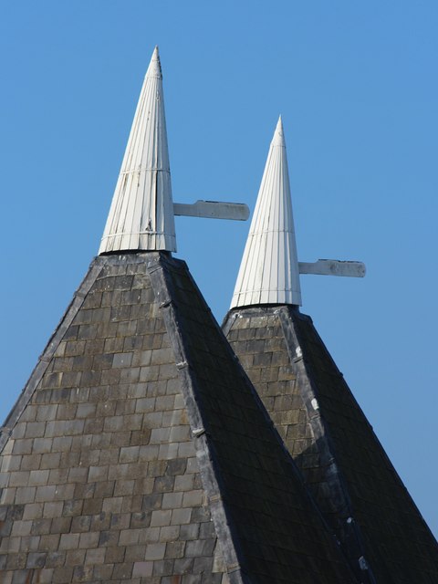
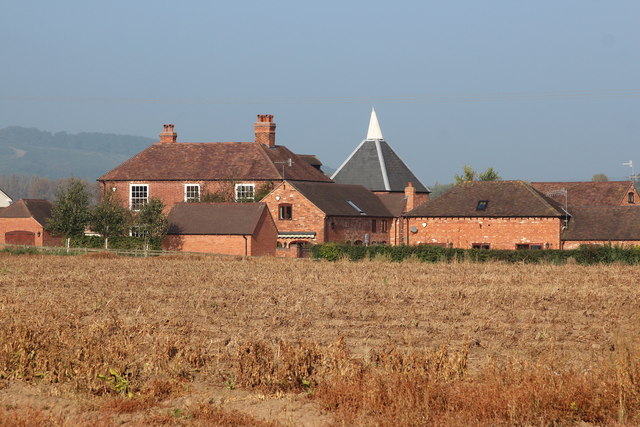
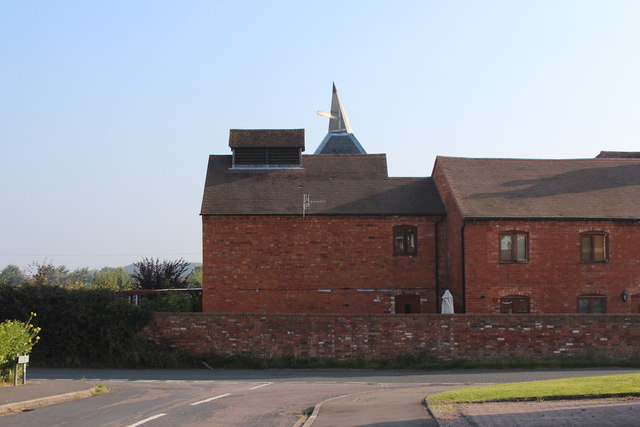
Benstoken Coppice Images

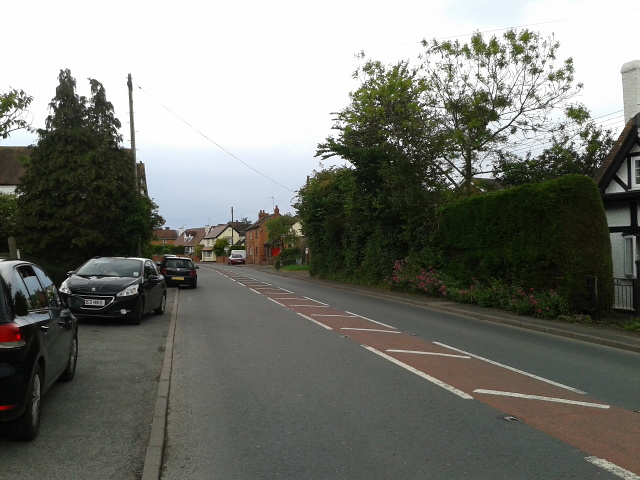
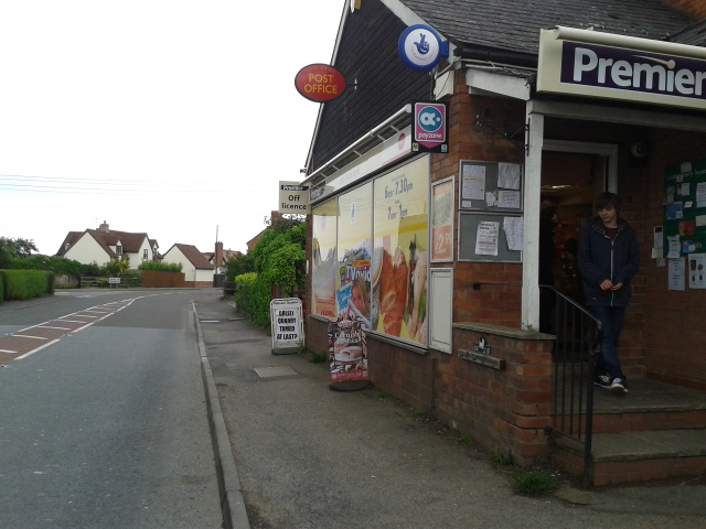
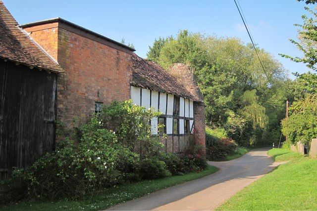
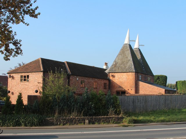
Images are sourced within 2km of 52.146662/-2.346553 or Grid Reference SO7649. Thanks to Geograph Open Source API. All images are credited.

Leigh Sinton - converted oast house The entrance to the village and a tastefully converted oast house that retains a cowl. There are quite a few visible on the road between Worcester and Hereford but i don't know if any are unconverted.
Leigh Sinton - converted oast house
The entrance to the village and a tastefully converted oast house that retains a cowl. There are quite a few visible on the road between Worcester and Hereford but i don't know if any are unconverted.
Leigh Sinton - a pair of converted oast houses There are at least three in the village. The cowls designed to turn with the prevailing wind are a nice feature and add to the charm of these. There are some horrid conversions about.
Leigh Sinton - a pair of converted oast houses
There are at least three in the village. The cowls designed to turn with the prevailing wind are a nice feature and add to the charm of these. There are some horrid conversions about.
Road to Crowcroft Road to Crowcroft off the A44 to the west of Leigh Sinton.
Road to Crowcroft
Road to Crowcroft off the A44 to the west of Leigh Sinton.
Field entrance Field entrance near Lower Sandlin Farm at Smith End Green.
Field entrance
Field entrance near Lower Sandlin Farm at Smith End Green.
A4103 heading through Leigh Sinton
Post Office and shop in Leigh Sinton
Norrest Wood from the footpath The footpath entrance stile was somewhat overgrown when visited, but can just about be negotiated by those with long legs or decent balance.  Look for a small gap in the hedge back from the road surface.
Norrest Wood from the footpath
The footpath entrance stile was somewhat overgrown when visited, but can just about be negotiated by those with long legs or decent balance. Look for a small gap in the hedge back from the road surface.
Driveway to Birchwood House
Birchwood Common from Birchwood Lane
Old Sandlin Farm Oast
Oast House at Leigh Sinton Farm, Leigh Sinton Twin square kiln oast house.
Oast House at Leigh Sinton Farm, Leigh Sinton
Twin square kiln oast house.
Cowls at Leigh Sinton Farm Oast Twin square kiln oast house.
Cowls at Leigh Sinton Farm Oast
Twin square kiln oast house.
Oast House at Upper House Farm, Sherridge Road, Leigh Sinton Single square kiln oast house.
Oast House at Upper House Farm, Sherridge Road, Leigh Sinton
Single square kiln oast house.
Oast House at Upper House Farm, Sherridge Road, Leigh Sinton Single square kiln oast house.
Oast House at Upper House Farm, Sherridge Road, Leigh Sinton
Single square kiln oast house.
Hop Pole Green
Hop Pole Green
Field north of Leigh Sinton
Field of Sherridge Road
Oast House at Old Sandlin Farm, Sandlin Twin round kiln oast house.
Oast House at Old Sandlin Farm, Sandlin
Twin round kiln oast house.
Show me another place!

Benstoken Coppice is located at Grid Ref: SO7649 (Lat: 52.146662, Lng: -2.346553)

Administrative County: Worcestershire

District: Malvern Hills

Police Authority: West Mercia

What 3 Words

///balconies.stags.dull. Near Great Malvern, Worcestershire

Nearby Locations

Benstoken Coppice Halfkey

Related Wikis

Crowcroft

Crowcroft is a small hamlet just outside Leigh Sinton in Worcestershire, England. The main industry for the area is fruit growing, particularly for local...

Radar Research and Development Establishment

The Radar Research and Development Establishment, RRDE for short, was a civilian research organization run by the United Kingdom's Ministry of Supply that...

Dyson Perrins Church of England Academy

Dyson Perrins CofE Academy is a co-educational secondary school in Malvern, Worcestershire, England. It is named after its benefactor Charles William Dyson...
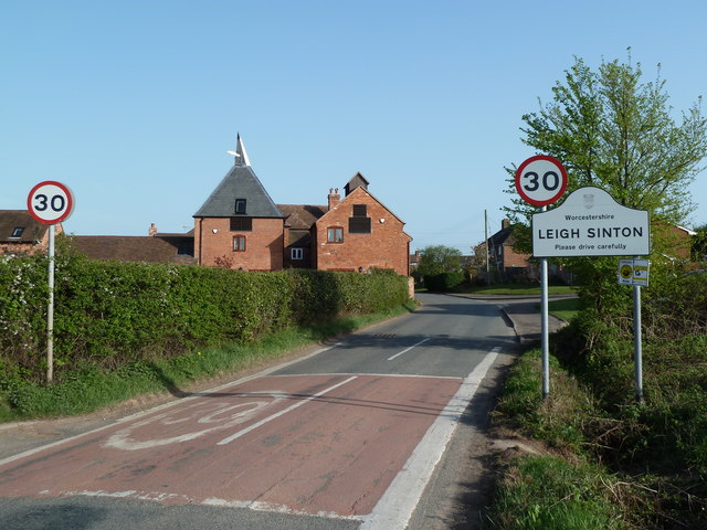
Leigh Sinton

Leigh Sinton is a village in the Malvern Hills district of the county of Worcestershire, England, and one of the constituent places of the civil parish...

Church of the Ascension, Malvern Link

The first completed work by the renowned architect Sir Walter Tapper, this is a Grade II listed church in the parish of Malvern Link and Cowleigh. The...

Church of St Peter, Cowleigh

The Church of St Peter, Cowleigh, is a Grade II listed Anglican church in the parish of Malvern Link and Cowleigh. It was built in 1865, and was designed...

Church of St Matthias, Malvern Link

The Church of St Matthias is an Anglican place of worship in Malvern Link, England. Prior to the establishment of this church, the residents of Malvern...

North Malvern

North Malvern is a suburb of Malvern, Worcestershire, England. It nestles on the northern slopes of the Malvern Hills. It is a contiguous urban extension...

Nearby Amenities

Located within 500m of 52.146662,-2.346553
Post Box
Collection Plate: CP7
Collection Times: Mo-Fr 16:00; Sa 09:15
Historic Operator: Royal Mail
Post Box Type: lamp
Ref: WR13 71
Royal Cypher: EIIR
Royal Cypher Wikidata: Q33102113
Lat/Long: 52.1444823/-2.3471108
Parking
Parking: layby
Lat/Long: 52.1452435/-2.3446704
Power: pole
Lat/Long: 52.1484587/-2.3527694
Power: pole
Lat/Long: 52.1479839/-2.3516831
Power: pole
Lat/Long: 52.1475395/-2.3506585
Crowcroft House Farm - Trans
Power: pole
Transformer: distribution
Voltage Primary: 11000
Lat/Long: 52.1469692/-2.3496835
Power: pole
Lat/Long: 52.1464598/-2.348565
Power: pole
Lat/Long: 52.1455677/-2.3479615
Power: pole
Lat/Long: 52.1460804/-2.3474707
Power: pole
Lat/Long: 52.1451768/-2.345801
Power: pole
Lat/Long: 52.1447711/-2.3450493
Edenbridge Farm
Power: pole
Transformer: distribution
Voltage Primary: 11000
Lat/Long: 52.144324/-2.3442265
Power: pole
Lat/Long: 52.1439357/-2.3435023
Farm Building Crumpton Hill
Power: pole
Transformer: distribution
Voltage Primary: 11000
Lat/Long: 52.1429028/-2.3438832
Power: pole
Lat/Long: 52.1433629/-2.3431644
Power: pole
Lat/Long: 52.1438328/-2.3424214
Power: pole
Lat/Long: 52.1437291/-2.3413257
Power: pole
Lat/Long: 52.1465166/-2.345852
Power: pole
Lat/Long: 52.1460557/-2.346206
Power: pole
Lat/Long: 52.1455875/-2.3465668
Power: pole
Lat/Long: 52.1469725/-2.3454952
Power: pole
Lat/Long: 52.1475371/-2.3451345
Power: pole
Lat/Long: 52.1480769/-2.3447523
Power: pole
Lat/Long: 52.1487402/-2.3442976
Power: pole
Lat/Long: 52.1492125/-2.3439664
Power: pole
Lat/Long: 52.1504424/-2.3441695
Power: pole
Lat/Long: 52.1508517/-2.3448904
Power: pole
Lat/Long: 52.1500247/-2.3434192
Power: pole
Lat/Long: 52.1442065/-2.3494495
Power: pole
Lat/Long: 52.143781/-2.3499698
Power: pole
Lat/Long: 52.143238/-2.3509431
Holywell
Power: pole
Transformer: distribution
Voltage Primary: 11000
Lat/Long: 52.144583/-2.3488956
Power: pole
Lat/Long: 52.1450525/-2.3484564
The data included in this document is from www.openstreetmap.org. The data is made available under ODbL.

Have you been to Benstoken Coppice?

Leave your review of Benstoken Coppice below (or comments, questions and feedback).