Beck Wood
Wood, Forest in Staffordshire Newcastle-under-Lyme
England
Beck Wood

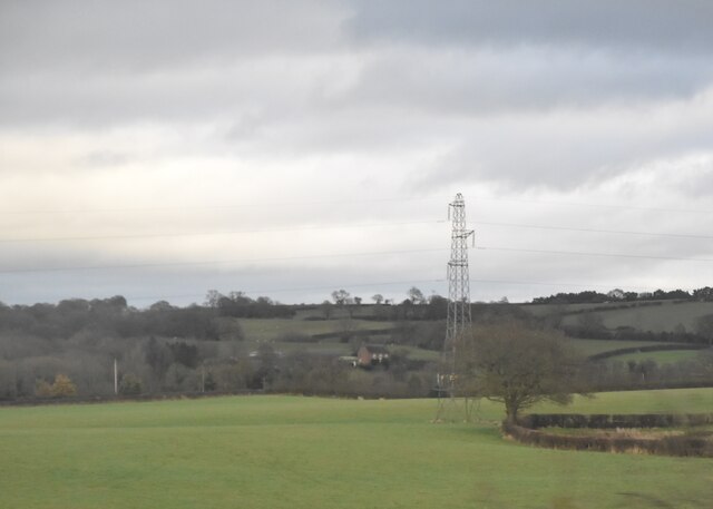
Beck Wood is a picturesque woodland area located in Staffordshire, England. Covering an area of approximately 50 acres, it is a popular destination for nature lovers, hikers, and wildlife enthusiasts. The wood is situated near the village of Stafford and can be easily accessed by road.
Beck Wood is known for its diverse range of flora and fauna, making it an ideal spot for nature exploration. The woodland is mainly composed of deciduous trees, including oak, birch, and beech. These trees create a dense canopy, providing shade and shelter for a variety of wildlife.
The wood is crisscrossed by a network of well-maintained footpaths, allowing visitors to explore its beauty at their own pace. As visitors wander through the wood, they may come across a range of wildlife, including deer, squirrels, and a variety of bird species. The tranquil atmosphere and peaceful surroundings make it a perfect place for birdwatching.
Beck Wood is also home to a small stream, which meanders through the woodland, adding to its natural charm. The stream attracts a range of aquatic creatures, such as frogs and dragonflies, providing a unique opportunity for nature enthusiasts to observe these fascinating creatures up close.
Overall, Beck Wood is a hidden gem in Staffordshire, offering a peaceful escape from the hustle and bustle of everyday life. With its stunning scenery, diverse wildlife, and well-maintained footpaths, it is a must-visit destination for anyone seeking a connection with nature.
If you have any feedback on the listing, please let us know in the comments section below.
Beck Wood Images
Images are sourced within 2km of 53.012777/-2.3475689 or Grid Reference SJ7646. Thanks to Geograph Open Source API. All images are credited.


Beck Wood is located at Grid Ref: SJ7646 (Lat: 53.012777, Lng: -2.3475689)
Administrative County: Staffordshire
District: Newcastle-under-Lyme
Police Authority: Staffordshire
What 3 Words
///disco.headlight.apply. Near Madeley, Staffordshire
Nearby Locations
Related Wikis

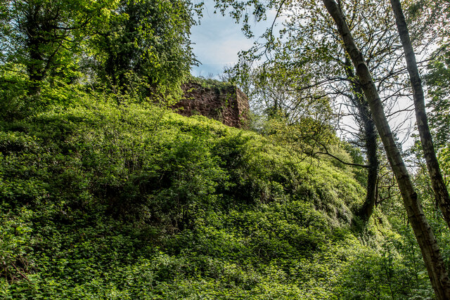
Heighley Castle
Heighley Castle (or Heleigh Castle) is a ruined medieval castle near Madeley, Staffordshire. The castle was completed by the Audley family in 1233 and...
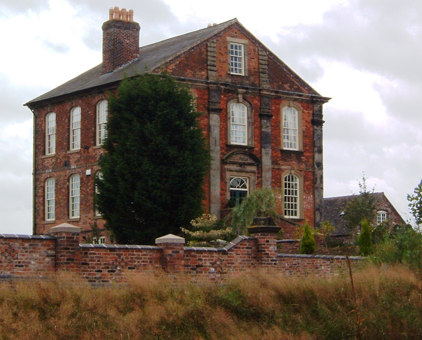
Madeley, Staffordshire
Madeley is a village and ward in the Borough of Newcastle-under-Lyme, North Staffordshire, England. It is split into three parts: Madeley, Middle Madeley...

Madeley High School
Madeley High School, established 1957, is a coeducational secondary school with academy status, located in the village of Madeley, Staffordshire, England...

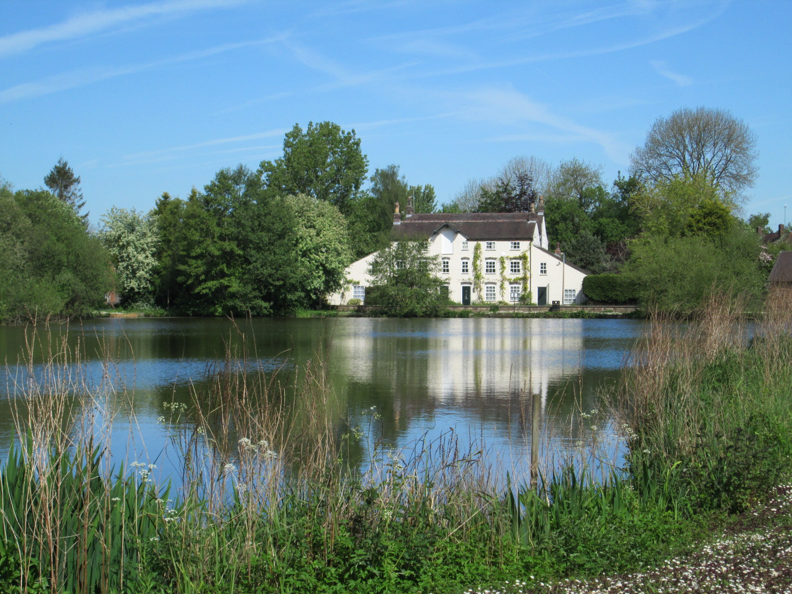
Madeley Old Hall
Madeley Old Hall is a black and white Elizabethan house, now a small hotel, in the village of Madeley in Staffordshire, England. It stands in 2 acres of...
Wrinehill
Wrinehill, also called Checkley cum Wrinehill, is a village in the north-west of Staffordshire on the A531 road lying adjacent to the southern border of...

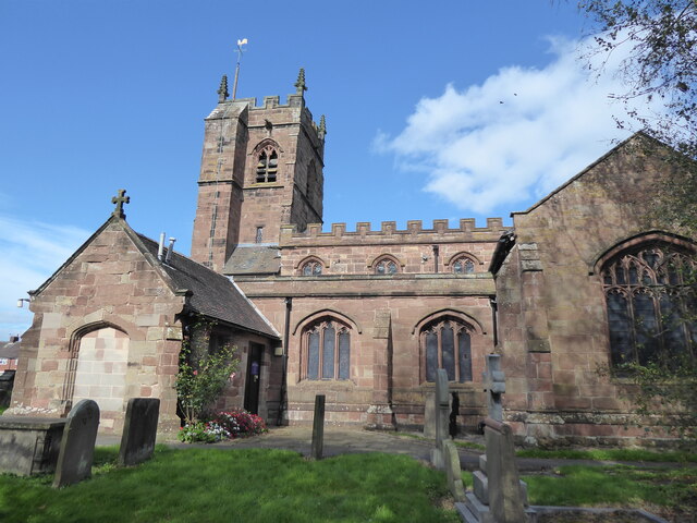
All Saints' Church, Madeley
All Saints' Church is an Anglican church in Madeley, Staffordshire, England, and in the Diocese of Lichfield. The building dates mostly from the 14th and...

Checkley cum Wrinehill
Checkley cum Wrinehill is a former civil parish, now in the parish of Doddington and District, in the unitary authority area of Cheshire East and the ceremonial...
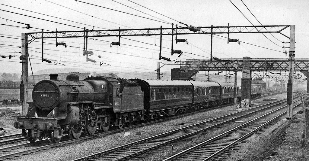
Madeley railway station (Staffordshire)
Madeley railway station is a disused railway station in Staffordshire, England. The station was opened by the Grand Junction Railway in 1837.: 43 It...
Nearby Amenities
Located within 500m of 53.012777,-2.3475689Have you been to Beck Wood?
Leave your review of Beck Wood below (or comments, questions and feedback).