Bowsey Wood

Settlement in Staffordshire Newcastle-under-Lyme

England

Bowsey Wood

Old Tin Barn, Newcastle Way Near Madeley Between Madeley Heath and Leycett on the Newcastle way. It has seen better days :)
Old Tin Barn, Newcastle Way Near Madeley Credit: Brian Deegan

Bowsey Wood is a charming woodland area located in the county of Staffordshire, England. Situated near the village of Abbots Bromley, this woodland offers a tranquil and picturesque escape from the hustle and bustle of modern life.

Covering an area of approximately 30 hectares, Bowsey Wood is primarily composed of broadleaf trees such as oak, birch, and beech, creating a diverse and vibrant ecosystem. The wood is home to a variety of wildlife, including deer, foxes, and a wide range of bird species, making it a popular destination for nature enthusiasts and birdwatchers.

The wood features several well-maintained pathways, allowing visitors to explore its beauty at their own pace. The pathways lead visitors through a mixture of open glades, dense woodland, and gently rolling hills, providing breathtaking views and an opportunity to immerse oneself in the natural surroundings.

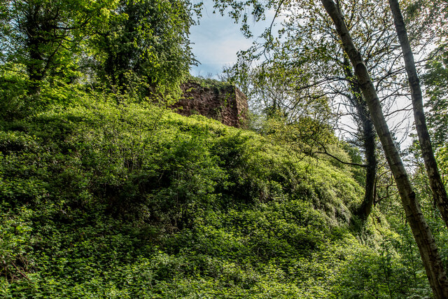
Bowsey Wood also holds historical significance, as it is believed to have been part of the hunting grounds of the Abbots Bromley estate in the past. The area is dotted with remnants of old stone walls and boundaries, offering glimpses into its rich history.

Visitors to Bowsey Wood can enjoy a range of activities, including walking, jogging, and photography. The wood is also a popular spot for family picnics and nature-inspired art sessions. With its peaceful ambiance and stunning scenery, Bowsey Wood is a true gem in the Staffordshire countryside, attracting both locals and tourists alike.

If you have any feedback on the listing, please let us know in the comments section below.
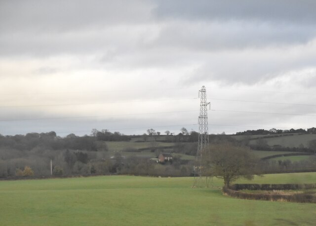
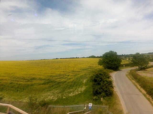
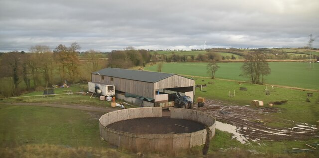
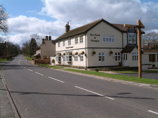
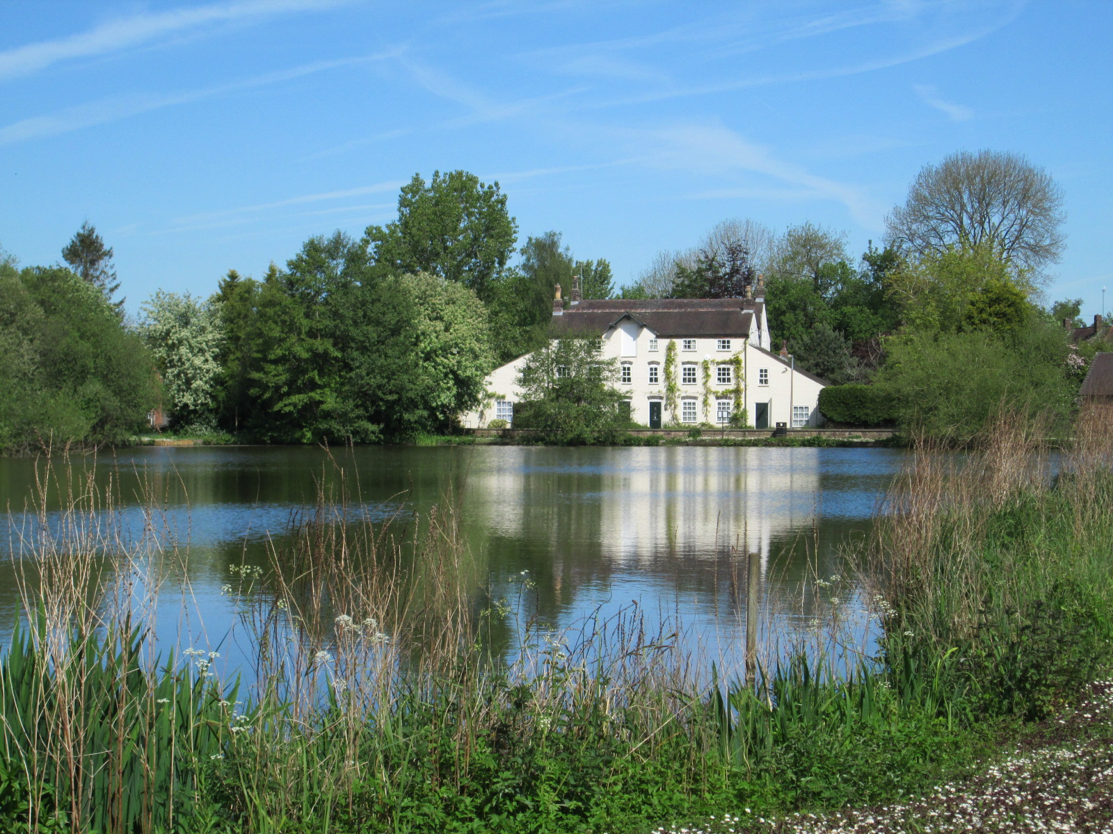
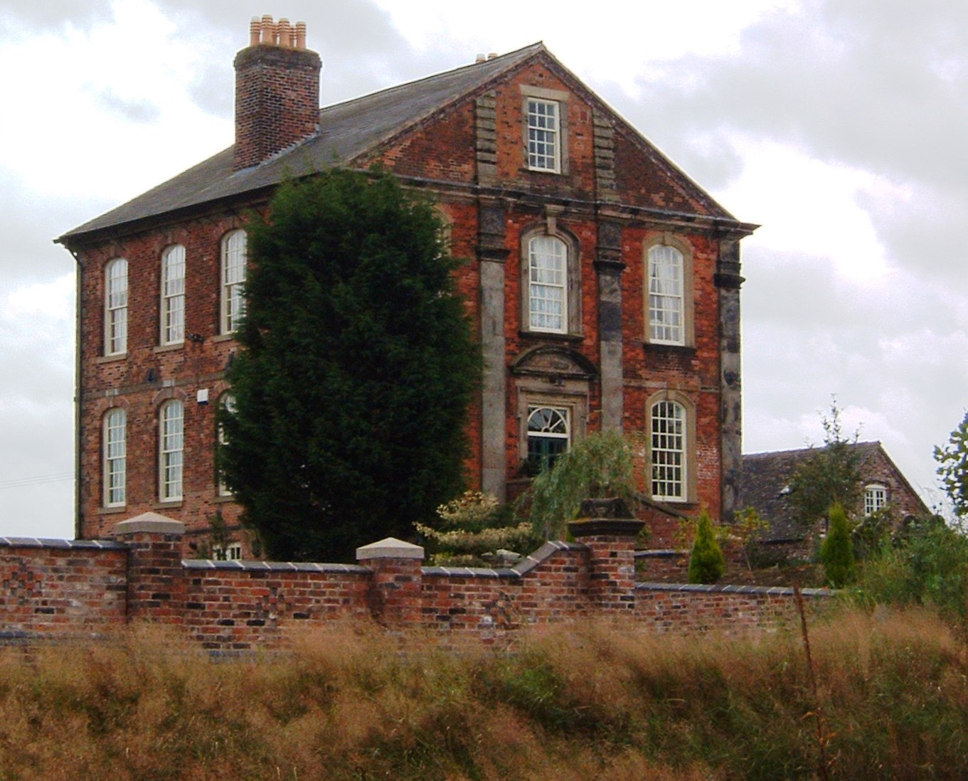
Bowsey Wood Images

Images are sourced within 2km of 53.014603/-2.3471215 or Grid Reference SJ7646. Thanks to Geograph Open Source API. All images are credited.

Old Tin Barn, Newcastle Way Near Madeley Between Madeley Heath and Leycett on the Newcastle way. It has seen better days :)
Old Tin Barn, Newcastle Way Near Madeley
Between Madeley Heath and Leycett on the Newcastle way. It has seen better days :)
Pylon in field
Pylon in field
Pylon and barn
Pylon and barn
Lane leading from Wrinehill Hall to the main road, seen from the train
Checkley Lane, Wrinehill, from the train
Barn and circular enclosure by the railway The enclosure may be for training horses, but could have other uses. 

The train from which this was taken was at this point crossing the border from Cheshire into Staffordshire: this building is just on the Staffs side.
Barn and circular enclosure by the railway
The enclosure may be for training horses, but could have other uses. The train from which this was taken was at this point crossing the border from Cheshire into Staffordshire: this building is just on the Staffs side.
Pylon and farm building
Barn and enclosure
Barn and enclosure
Tree on Platform, Madeley Not sure what this is.. at first I thought it could be an old windmill base. But no sign of anything on old (or new) maps but It also could be a Queen Victoria Golden Jubilee tree.  There was a celebration held on the park grounds in 1887. 


It is in the old grounds of Madley Hall and not far from the 12th century Heighley Castle ..
Tree on Platform, Madeley
Not sure what this is.. at first I thought it could be an old windmill base. But no sign of anything on old (or new) maps but It also could be a Queen Victoria Golden Jubilee tree. There was a celebration held on the park grounds in 1887. It is in the old grounds of Madley Hall and not far from the 12th century Heighley Castle ..
Madeley Manor House Built in the 1820s by Lord Crewe (John Crewe 1st Baron Crewe, 1742-1829), for his daughter Elizabeth Emma Crewe (1780-1850) and her husband Mr Foster Cunliffe-Offley (1782-1834).

The 89 acres of  land was purchased for £4,700 from James Cope in 1822. The land was formally known as Okers Hill or Okhull.

It was painted by William Callow (1812-1908) in 1843 .

In 1921 most of the estate had to be sold off. The manor house failed to attract a buyer and was occupied by Lady Annabel Hungerford Crewe-Milnes, the daughter of Sir Robert Offley Ashburton Crewe-Milnes (first and last Marquess of Crewe) . She was the last member of the family to live in the manor house until her death in 1948.

In 1951 the house and grounds were sold and turned into flats.

From 1988 until 2015 it was turned into Madeley Manor nursing home. It has since been left empty and has fallen into disrepair. There are current plans to transform the property into 12 apartments and two houses.  <span class="nowrap"><a title="https://www.staffordshire-live.co.uk/news/local-news/big-plans-crumbling-manor-house-7907269" rel="nofollow ugc noopener" href="https://www.staffordshire-live.co.uk/news/local-news/big-plans-crumbling-manor-house-7907269">Link</a><img style="margin-left:2px;" alt="External link" title="External link - shift click to open in new window" src="https://s1.geograph.org.uk/img/external.png" width="10" height="10"/></span>
Madeley Manor House
Built in the 1820s by Lord Crewe (John Crewe 1st Baron Crewe, 1742-1829), for his daughter Elizabeth Emma Crewe (1780-1850) and her husband Mr Foster Cunliffe-Offley (1782-1834). The 89 acres of land was purchased for £4,700 from James Cope in 1822. The land was formally known as Okers Hill or Okhull. It was painted by William Callow (1812-1908) in 1843 . In 1921 most of the estate had to be sold off. The manor house failed to attract a buyer and was occupied by Lady Annabel Hungerford Crewe-Milnes, the daughter of Sir Robert Offley Ashburton Crewe-Milnes (first and last Marquess of Crewe) . She was the last member of the family to live in the manor house until her death in 1948. In 1951 the house and grounds were sold and turned into flats. From 1988 until 2015 it was turned into Madeley Manor nursing home. It has since been left empty and has fallen into disrepair. There are current plans to transform the property into 12 apartments and two houses. LinkExternal link
Site of Heighley Castle, Madeley The castle was completed by the Audley family in 1233 and for over 300 years was one of their ancestral homes. It was held for Charles I during the English Civil War and was destroyed by Parliamentary forces in the 1640s. The ruinous remains comprise masonry fragments, mostly overgrown by vegetation.  <span class="nowrap"><a title="https://en.wikipedia.org/wiki/Heighley_Castle" rel="nofollow ugc noopener" href="https://en.wikipedia.org/wiki/Heighley_Castle">Link</a><img style="margin-left:2px;" alt="External link" title="External link - shift click to open in new window" src="https://s1.geograph.org.uk/img/external.png" width="10" height="10"/></span> 

Very substantial earth works (moat) and nearby quarry for the stonework. Would have been an impressive site.  More info here <span class="nowrap"><a title="http://www.madeleyvillage.co.uk/about-madeley/history/heighley-castle/" rel="nofollow ugc noopener" href="http://www.madeleyvillage.co.uk/about-madeley/history/heighley-castle/">Link</a><img style="margin-left:2px;" alt="External link" title="External link - shift click to open in new window" src="https://s1.geograph.org.uk/img/external.png" width="10" height="10"/></span>
Site of Heighley Castle, Madeley
The castle was completed by the Audley family in 1233 and for over 300 years was one of their ancestral homes. It was held for Charles I during the English Civil War and was destroyed by Parliamentary forces in the 1640s. The ruinous remains comprise masonry fragments, mostly overgrown by vegetation. LinkExternal link Very substantial earth works (moat) and nearby quarry for the stonework. Would have been an impressive site. More info here LinkExternal link
Monkey Puzzle Tree, Monkey Tree Cottage
Ice House Ruin, Madeley Manor Showing on the 1900's map. The lake is just across the road that would have been used to re-stock during the winter.
Ice House Ruin, Madeley Manor
Showing on the 1900's map. The lake is just across the road that would have been used to re-stock during the winter.
Madeley Manor Fishpond and Boathouse
Old Milepost by the A525, Newcastle Road, Middle Madeley Cast iron post by the A525, in parish of MADELEY (NEWCASTLE UNDER LYME District), Newcastle Road, Middle Madeley, on grass bank in front of house, on South side of road. Lathe iron casting, erected by the County Council in the 19th/20th century. An earlier photograph can be found here <a title="https://www.geograph.org.uk/photo/6056301" href="https://www.geograph.org.uk/photo/6056301">Link</a>.

Inscription reads:-
: MADELEY ½ / ONNELEY 2½ / WOORE 3¾ : : MADELEY : : KEELE 2 / NEWCASTLE 5 :
Maker:-
: Chas. Lathe, Tipton. :

Grade II listed. 
List Entry Number: 1353704 <span class="nowrap"><a title="https://historicengland.org.uk/listing/the-list/list-entry/1353704" rel="nofollow ugc noopener" href="https://historicengland.org.uk/listing/the-list/list-entry/1353704">Link</a><img style="margin-left:2px;" alt="External link" title="External link - shift click to open in new window" src="https://s1.geograph.org.uk/img/external.png" width="10" height="10"/></span>

Milestone Society National ID: ST_NCWR05.
Old Milepost by the A525, Newcastle Road, Middle Madeley
Cast iron post by the A525, in parish of MADELEY (NEWCASTLE UNDER LYME District), Newcastle Road, Middle Madeley, on grass bank in front of house, on South side of road. Lathe iron casting, erected by the County Council in the 19th/20th century. An earlier photograph can be found here Link. Inscription reads:- : MADELEY ½ / ONNELEY 2½ / WOORE 3¾ : : MADELEY : : KEELE 2 / NEWCASTLE 5 : Maker:- : Chas. Lathe, Tipton. : Grade II listed. List Entry Number: 1353704 LinkExternal link Milestone Society National ID: ST_NCWR05.
Wrinehill Mil Farm
Wrinehill Mil Farm
A quiet road The new Hand & Trumpet public house on a quiet A531 through Wrinehill
A quiet road
The new Hand & Trumpet public house on a quiet A531 through Wrinehill
Show me another place!

Bowsey Wood is located at Grid Ref: SJ7646 (Lat: 53.014603, Lng: -2.3471215)

Administrative County: Staffordshire

District: Newcastle-under-Lyme

Police Authority: Staffordshire

What 3 Words

///screeches.ratty.blanked. Near Madeley, Staffordshire

Nearby Locations

Bowsey Wood Beck Wood

Related Wikis

Nearby Amenities

Located within 500m of 53.014603,-2.3471215
Bus Stop
Bowsey Wood Road
Bus: yes
Naptan AtcoCode: 3800C598801
Naptan Bearing: E
Naptan CommonName: Bowsey Wood Road
Naptan Indicator: Opp
Naptan Landmark: Bowsey Wood Rd
Naptan Street: Main Rd
Naptan Verified: no
Public Transport: platform
Source: naptan_import
Lat/Long: 53.0149363/-2.3497837
Bus Stop
Bowsey Wood Road
Bus: yes
Naptan AtcoCode: 3800C598802
Naptan Bearing: W
Naptan CommonName: Bowsey Wood Road
Naptan Indicator: Adj
Naptan Landmark: Bowsey Wood Rd
Naptan Street: Main Rd
Naptan Verified: no
Public Transport: platform
Source: naptan_import
Lat/Long: 53.0148886/-2.3507224
The data included in this document is from www.openstreetmap.org. The data is made available under ODbL.

Have you been to Bowsey Wood?

Leave your review of Bowsey Wood below (or comments, questions and feedback).