Bowshaw

Settlement in Derbyshire North East Derbyshire

England

Bowshaw

Roundabout in Coal Aston. Starting point for our Dronfield 2000 rotary walk.
Roundabout in Coal Aston. Credit: steven ruffles

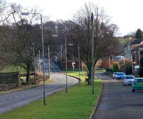
Bowshaw is a small village located in Derbyshire, England. Situated approximately 6 miles southwest of Sheffield, it is nestled in the beautiful countryside of the Peak District National Park. The village is primarily residential, with a close-knit community and a population of around 500 residents.

Bowshaw is known for its picturesque surroundings and stunning natural landscapes. The village is surrounded by rolling hills, lush green fields, and dense woodlands, making it an ideal destination for nature lovers and outdoor enthusiasts. The nearby Moss Valley offers excellent walking and hiking opportunities, with a network of scenic trails and paths.

Despite its rural setting, Bowshaw benefits from its close proximity to the city of Sheffield. Residents can easily access the city's amenities, including shopping centers, restaurants, and entertainment venues. The village also has good transportation links, with regular bus services connecting it to nearby towns and cities.

In terms of facilities, Bowshaw has a primary school, providing education for children in the local area. The village also boasts a small community center, a post office, and a local pub, which serves as a social hub for residents.

Overall, Bowshaw offers a tranquil and idyllic lifestyle, combining the charm of a rural village with the convenience of nearby urban amenities. Its natural beauty and strong sense of community make it a desirable place to live for those seeking a peaceful and close-knit community in the heart of the Derbyshire countryside.

If you have any feedback on the listing, please let us know in the comments section below.
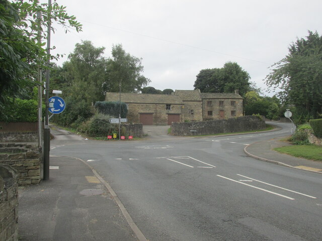
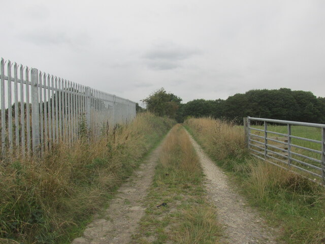
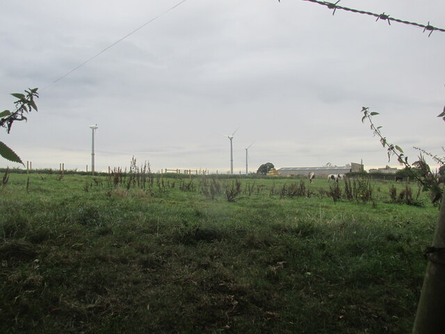
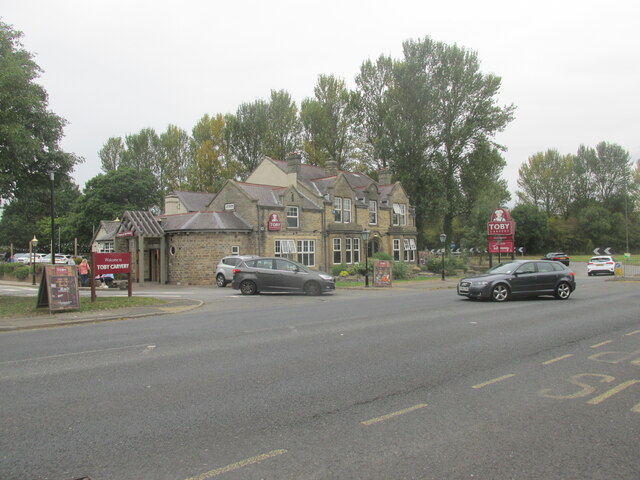
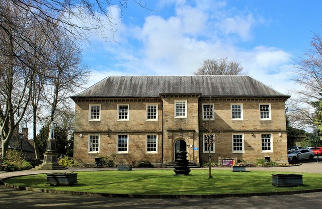
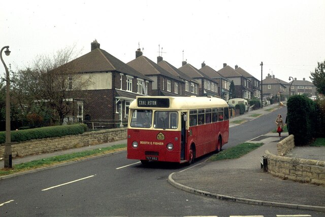
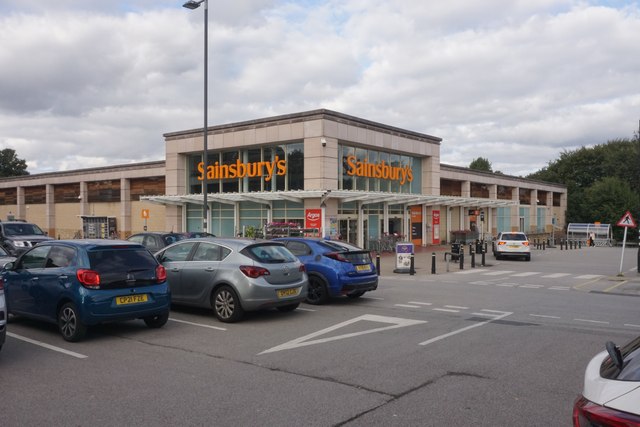
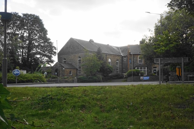
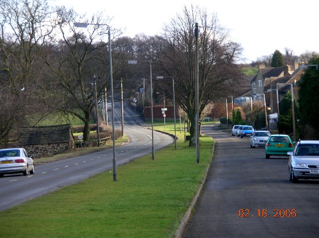
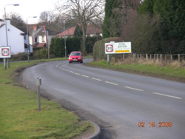
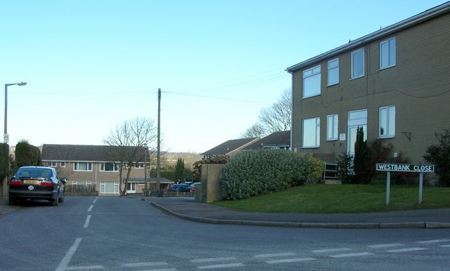
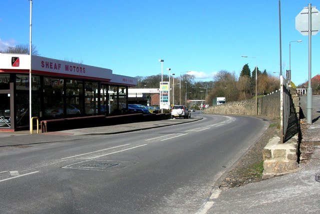
Bowshaw Images

Images are sourced within 2km of 53.315275/-1.4753155 or Grid Reference SK3579. Thanks to Geograph Open Source API. All images are credited.

Roundabout in Coal Aston. Starting point for our Dronfield 2000 rotary walk.
Roundabout in Coal Aston.
Starting point for our Dronfield 2000 rotary walk.
Track near Bowshaw farm. The Dronfield 2000 rotary walk.
Track near Bowshaw farm.
The Dronfield 2000 rotary walk.
Upper Birchitt farm and wind turbines. Along the Dronfield 2000 rotary walk.
Upper Birchitt farm and wind turbines.
Along the Dronfield 2000 rotary walk.
The Bowshaw pub. Along the road to Dronfield.
The Bowshaw pub.
Along the road to Dronfield.
The Manor House, Dronfield The Manor House is now Dronfield Library.
The Manor House, Dronfield
The Manor House is now Dronfield Library.
Booth and Fisher bus at Dronfield -1978 Booth and Fisher was a family bus business operating out of Halfway near Sheffield. By this time it had already been sold (in 1975) to the South Yorkshire Passenger Transport Executive, as indicated by the 4-digit fleet number, although it was some time before all vehicles were repainted into SYPTE brown and cream livery.

TCY662 was bought second hand from South Wales Transport in 1972, and is an AEC Reliance with Marshall bodywork, new in 1962.

This is one of a series of views featuring buses in the 60s, 70s, and 80s. <a title="https://www.geograph.org.uk/search.php?i=137652761" href="https://www.geograph.org.uk/search.php?i=137652761">Link</a>
Booth and Fisher bus at Dronfield -1978
Booth and Fisher was a family bus business operating out of Halfway near Sheffield. By this time it had already been sold (in 1975) to the South Yorkshire Passenger Transport Executive, as indicated by the 4-digit fleet number, although it was some time before all vehicles were repainted into SYPTE brown and cream livery. TCY662 was bought second hand from South Wales Transport in 1972, and is an AEC Reliance with Marshall bodywork, new in 1962. This is one of a series of views featuring buses in the 60s, 70s, and 80s. Link
Sainsbury's in Dronfield A relatively small supermarket compared with many of their stores.
Sainsbury's in Dronfield
A relatively small supermarket compared with many of their stores.
Dronfield Baptist Church As seen from the Sainsbury's car park. There is a roundabout in front of it which is the beginning of the town's High Street.
Dronfield Baptist Church
As seen from the Sainsbury's car park. There is a roundabout in front of it which is the beginning of the town's High Street.
Coal Aston near Sheffield This view is looking east along Eckington Road in the direction of Chesterfield.
Coal Aston near Sheffield
This view is looking east along Eckington Road in the direction of Chesterfield.
Coal Aston near Sheffield This view is looking in a westerly direction along Eckington Road.
Coal Aston near Sheffield
This view is looking in a westerly direction along Eckington Road.
Westbank Close, Coal Aston, Sheffield.
Sheaf Motors on Sheffield Road, Dronfield. This view is looking north towards Sheffield.
Sheaf Motors on Sheffield Road, Dronfield.
This view is looking north towards Sheffield.
Shops in Dronfield, Sheffield
White Swan, Dronfield, Near Sheffield.
Lea Road, Dronfield near Sheffield.
Railway Bridge crossing over Sheffield Road in Dronfield.
Hallowes Lane, Dronfield near Sheffield.
Gosforth Valley. The A61 Unstone - Dronfield bypass.
Gosforth Valley.
The A61 Unstone - Dronfield bypass.
Show me another place!

Bowshaw is located at Grid Ref: SK3579 (Lat: 53.315275, Lng: -1.4753155)

Administrative County: Derbyshire

District: North East Derbyshire

Police Authority: Derbyshire

What 3 Words

///hidden.else.risk. Near Dronfield, Derbyshire

Related Wikis

Nearby Amenities

Located within 500m of 53.315275,-1.4753155
Power: substation
Ref GB Uprn: 10013642915
Lat/Long: 53.3189582/-1.471609
Telephone
Booth: KX100
Covered: booth
Lat/Long: 53.3184165/-1.4699641
Bus Stop
Batemoor Road/Bowshaw View
Bus: yes
Naptan AtcoCode: 370022059
Naptan Bearing: NW
Naptan CommonName: Batemoor Road/Bowshaw View
Naptan Indicator: 22059
Naptan Landmark: Opposite Bowshaw View
Naptan PlusbusZoneRef: CHFD
Naptan Street: Batemoor Road
Naptan Verified: no
Public Transport: platform
Source: naptan_import
Lat/Long: 53.3184006/-1.4712637
Barrier: stile
Lat/Long: 53.3164254/-1.4823857
Crossing
Bicycle: yes
Crossing: unmarked
Crossing Island: no
Tactile Paving: yes
Lat/Long: 53.3173205/-1.4749823
Barrier: stile
Lat/Long: 53.3155406/-1.4738439
Crossing
Bicycle: yes
Crossing: unmarked
Crossing Island: no
Tactile Paving: yes
Lat/Long: 53.3165346/-1.4744113
Crossing
Bicycle: yes
Crossing: unmarked
Crossing Island: no
Tactile Paving: yes
Lat/Long: 53.3166847/-1.474435
Crossing
Bicycle: yes
Crossing: unmarked
Crossing Island: no
Tactile Paving: yes
Lat/Long: 53.3175295/-1.4756219
Barrier: stile
Lat/Long: 53.3148899/-1.4718619
Batemoor Road/Bowshaw View
Bus: yes
Public Transport: stop_position
Lat/Long: 53.3184361/-1.4712392
Crossing
Crossing: unmarked
Crossing Island: yes
Tactile Paving: yes
Lat/Long: 53.3156237/-1.4751184
Crossing
Crossing: unmarked
Crossing Island: yes
Tactile Paving: yes
Lat/Long: 53.3155788/-1.475254
Barrier: stile
Lat/Long: 53.3154503/-1.4750497
Barrier: stile
Lat/Long: 53.3141249/-1.4694982
Generator Method: photovoltaic
Generator Output Electricity: yes
Generator Source: solar
Generator Type: solar_photovoltaic_panel
Location: roof
Power: generator
Lat/Long: 53.3130752/-1.4768399
Generator Method: photovoltaic
Generator Output Electricity: yes
Generator Source: solar
Generator Type: solar_photovoltaic_panel
Location: roof
Power: generator
Lat/Long: 53.3130592/-1.4768747
Generator Method: photovoltaic
Generator Output Electricity: yes
Generator Source: solar
Generator Type: solar_photovoltaic_panel
Location: roof
Power: generator
Lat/Long: 53.3130913/-1.4768989
Generator Method: photovoltaic
Generator Output Electricity: yes
Generator Source: solar
Generator Type: solar_photovoltaic_panel
Location: roof
Power: generator
Lat/Long: 53.3139358/-1.4765099
Generator Method: photovoltaic
Generator Output Electricity: yes
Generator Source: solar
Generator Type: solar_photovoltaic_panel
Location: roof
Power: generator
Lat/Long: 53.313955/-1.476526
Marker: post
Lat/Long: 53.3142418/-1.4760025
Marker: post
Lat/Long: 53.3142117/-1.4758221
Marker: post
Lat/Long: 53.3145282/-1.4707152
Marker: post
Lat/Long: 53.3142786/-1.4777007
Marker: post
Lat/Long: 53.3142904/-1.4751199
Bus Stop
Bench: no
Bin: no
Bus: yes
Naptan AtcoCode: 100000008388
Naptan NaptanCode: dbsdwmdj
Public Transport: platform
Shelter: no
Source: bustimes.org;bing
Lat/Long: 53.3152969/-1.4754252
The data included in this document is from www.openstreetmap.org. The data is made available under ODbL.

Have you been to Bowshaw?

Leave your review of Bowshaw below (or comments, questions and feedback).