Boxbush

Settlement in Gloucestershire Forest of Dean

England

Boxbush

The Severn at Bollow Bank, 1 A fine wooden garden construction belonging to the property off camera to the left.
The Severn at Bollow Bank, 1 Credit: Jonathan Billinger

Boxbush is a small hamlet located in the county of Gloucestershire, England. Situated in the picturesque Cotswolds region, it is nestled amidst rolling hills and surrounded by lush countryside. Boxbush falls within the administrative district of Stroud and is approximately 10 miles south of the town of Stroud itself.

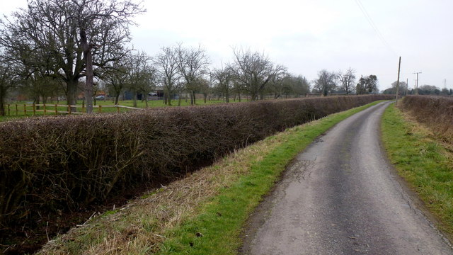
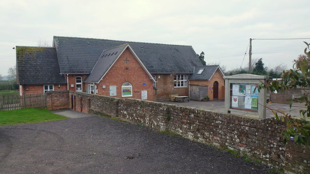
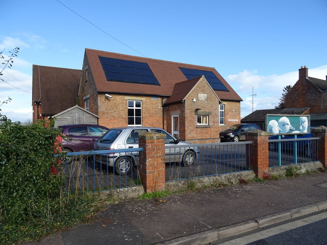
The hamlet is known for its tranquil and idyllic setting, with charming stone cottages and a close-knit community. Boxbush is characterized by its rural charm, offering residents and visitors a peaceful escape from the bustling city life. The surrounding landscape provides ample opportunities for outdoor activities such as hiking, cycling, and horse riding.

Despite its small size, Boxbush benefits from its proximity to nearby towns and villages. Stroud, the nearest town, offers a wide range of amenities including shops, supermarkets, schools, and healthcare facilities. The hamlet is also well-connected to other parts of Gloucestershire via a network of roads, making it easily accessible for commuters and visitors.

Boxbush is part of the wider Cotswolds Area of Outstanding Natural Beauty, which attracts tourists from all over the world. The region is renowned for its picturesque villages, historic landmarks, and stunning scenery. Many visitors to Boxbush come to explore the nearby Cotswold Way, a long-distance footpath that offers breathtaking views of the countryside.

In summary, Boxbush is a charming hamlet in Gloucestershire that offers a peaceful and rural lifestyle, surrounded by natural beauty. Its proximity to larger towns and the Cotswolds AONB make it an attractive destination for both residents and visitors seeking a serene countryside retreat.

If you have any feedback on the listing, please let us know in the comments section below.
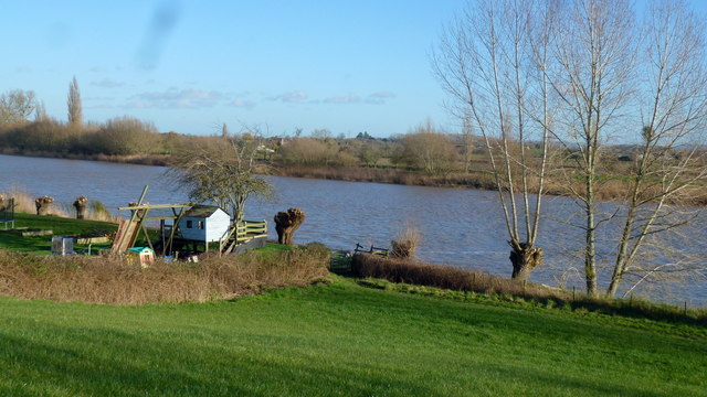
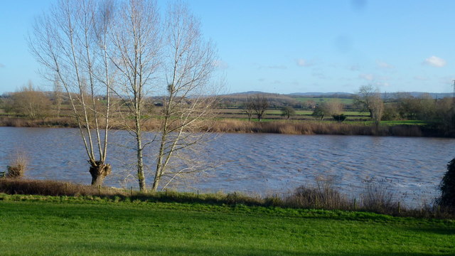
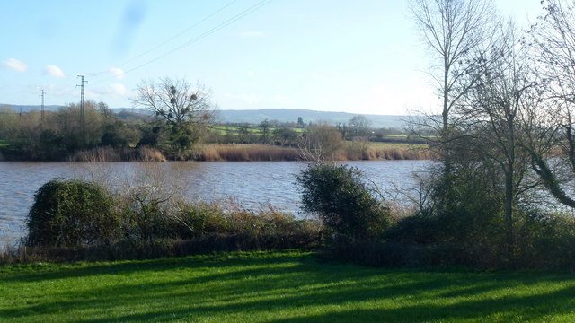
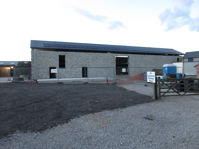
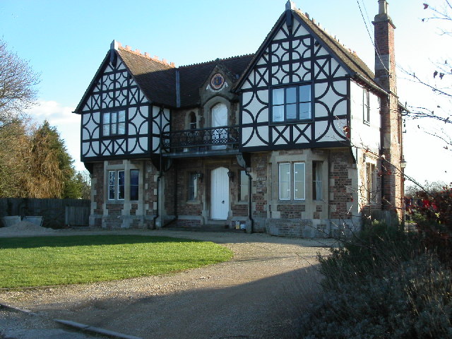
Boxbush Images

Images are sourced within 2km of 51.815634/-2.36903 or Grid Reference SO7413. Thanks to Geograph Open Source API. All images are credited.

The Severn at Bollow Bank, 1 A fine wooden garden construction belonging to the property off camera to the left.
The Severn at Bollow Bank, 1
A fine wooden garden construction belonging to the property off camera to the left.
The Severn at Bollow Bank, 2 Looking east, straight across the big river in its tidal phase.
The Severn at Bollow Bank, 2
Looking east, straight across the big river in its tidal phase.
The Severn at Bollow Bank, 3 Beyond the river in the far distance is the Cotswold scarp.
The Severn at Bollow Bank, 3
Beyond the river in the far distance is the Cotswold scarp.
Severn and Wye Smokery, new building under construction
Waterend Lane A dead-end lane, and the landowners around make sure you know it!
Old orchard to the left.
Waterend Lane
A dead-end lane, and the landowners around make sure you know it! Old orchard to the left.
Private track to Waterend Cottage Note the barrier; up as it happens...
Private track to Waterend Cottage
Note the barrier; up as it happens...
Lane to Castle End, Longney One of many scattered farms hereabouts.
Lane to Castle End, Longney
One of many scattered farms hereabouts.
View to Monk's Hill A 41m mountain with a trig point yet to be photographed for Geograph. It lies well away from public access so permission would need to be sought.
See Phil's identical shot from 2008; <a href="https://www.geograph.org.uk/photo/784586">SO7613 : Monks' Hill, Longney</a>.
View to Monk's Hill
A 41m mountain with a trig point yet to be photographed for Geograph. It lies well away from public access so permission would need to be sought. See Phil's identical shot from 2008; SO7613 : Monks' Hill, Longney.
Westbury-on-Severn: Stantway 1-km square visited as part of the Gloucestershire Winter Bird Survey. S Barker.
Westbury-on-Severn: Stantway
1-km square visited as part of the Gloucestershire Winter Bird Survey. S Barker.
C. of E. Primary School, Longney, 2018 A revisit to this square has the photographer inadvertently taking almost the same shot, ten years on. Notice the changes to the entrance and the signage in the decade since <a href="https://www.geograph.org.uk/photo/759253">SO7612 : C. of E. Primary School, Longney, Gloucestershire.</a>.
Again, the photographer chooses school holidays to photograph a school.
C. of E. Primary School, Longney, 2018
A revisit to this square has the photographer inadvertently taking almost the same shot, ten years on. Notice the changes to the entrance and the signage in the decade since SO7612 : C. of E. Primary School, Longney, Gloucestershire.. Again, the photographer chooses school holidays to photograph a school.
Old Milestone by the A48, Chaxhill, Westbury on Severn Parish Carved stone post by the A48, in parish of WESTBURY ON SEVERN (FOREST OF DEAN District), 300m West of school, on grass verge, on South side of road. Elton stone, erected by the Elton (District of Huntley & Mitcheldean) turnpike trust in the 19th century. 

Inscription reads:-
7
MILES TO
GLOUCESTER
TO LONDON
112 
Carved benchmark on top.

Milestone Society National ID: GL_GLNH07.
Old Milestone by the A48, Chaxhill, Westbury on Severn Parish
Carved stone post by the A48, in parish of WESTBURY ON SEVERN (FOREST OF DEAN District), 300m West of school, on grass verge, on South side of road. Elton stone, erected by the Elton (District of Huntley & Mitcheldean) turnpike trust in the 19th century. Inscription reads:- 7 MILES TO GLOUCESTER TO LONDON 112 Carved benchmark on top. Milestone Society National ID: GL_GLNH07.
Field entrance and footpath off the A48
Footpath towards Adsett Off the A48.
Footpath towards Adsett
Off the A48.
Sharp bend in the A48, Stantway Towards Gloucester.
Sharp bend in the A48, Stantway
Towards Gloucester.
Service station on the A48, Chaxhill
House on the A48, Chaxhill
A48, Chaxhill Towards Gloucester.
A48, Chaxhill
Towards Gloucester.
Walmore Hill Primary School
Show me another place!

Boxbush is located at Grid Ref: SO7413 (Lat: 51.815634, Lng: -2.36903)

Administrative County: Gloucestershire

District: Forest of Dean

Police Authority: Gloucestershire

What 3 Words

///presuming.yarn.still. Near Frampton on Severn, Gloucestershire

Nearby Locations

Boxbush Stanley

Related Wikis

Longney

Longney is a village on the River Severn 5 miles south-west of Gloucester, Gloucestershire, England, within the parish of Longney and Epney. The parish...

Rodley, Gloucestershire

Rodley is a settlement in Westbury-on-Severn parish, Forest of Dean District, Gloucestershire, England. It lies to the south east of Westbury-on-Severn...

Walmore Common

Walmore Common (grid reference SO740162 & grid reference SO745150) is a 57.78-hectare (142.8-acre) nature reserve on the flood-plain of the River Severn...

Priding

Priding is a hamlet in the civil parish of Arlingham, in the Stroud district, in the county of Gloucestershire, England. == References ==

River Frome, Stroud

The River Frome, once also known as the Stroudwater, is a small river in Gloucestershire, England. It is to be distinguished from another River Frome...

Epney

Epney is a small village on the River Severn. It is 8 miles (13 km) South-West of Gloucester, Gloucestershire, England within the parish of Longney and...

Framilode

Framilode is a village on the banks of the River Severn in Gloucestershire, England, in the parish of Fretherne with Saul. It consists of two settlements...

Westbury Shales

The Westbury Shales is a geologic formation in England. It preserves fossils of Holcoptera schlotheimi, Saurichthys acuminatus, Coleopteron sp. and Liassophlebia...

Nearby Amenities

Located within 500m of 51.815634,-2.36903
Created By: almien_coastlines
Source: PGS
Lat/Long: 51.814268/-2.3621454
Source: PGS
Lat/Long: 51.8151341/-2.3623082
Boxbush
Is In: Gloucestershire, England, UK
Is In Parish: Westbury-on-Severn
Place: hamlet
Source: NPE + local knowledge
Lat/Long: 51.8143558/-2.3682052
Bollow
Is In: Gloucestershire, England, UK
Place: village
Source: NPE
Lat/Long: 51.8193433/-2.371338
Power: tower
Lat/Long: 51.8127217/-2.3637703
Bus Stop
Cowley's Elm
Naptan AtcoCode: 1600GL1497
Naptan Bearing: S
Naptan CommonName: Cowley's Elm
Naptan NaptanCode: gloapgmd
Naptan Street: Goose Ln
Naptan Verified: no
Source: naptan_import
Lat/Long: 51.8118362/-2.3679104
Bus Stop
Cowley's Elm
Naptan AtcoCode: 1600GL1498
Naptan Bearing: N
Naptan CommonName: Cowley's Elm
Naptan NaptanCode: gloapgjw
Naptan Street: Goose Ln
Naptan Verified: no
Source: naptan_import
Lat/Long: 51.811836/-2.3679829
Bus Stop
Yew Tree Cottage
Naptan AtcoCode: 1600GL539
Naptan Bearing: S
Naptan CommonName: Yew Tree Cottage
Naptan NaptanCode: gloapdwd
Naptan Street: Goose Ln
Naptan Verified: no
Source: naptan_import
Lat/Long: 51.8180062/-2.3701368
Bus Stop
Yew Tree Cottage
Naptan AtcoCode: 1600GL540
Naptan Bearing: N
Naptan CommonName: Yew Tree Cottage
Naptan Indicator: Opp
Naptan NaptanCode: gloapdtp
Naptan Street: Goose Ln
Naptan Verified: no
Source: naptan_import
Lat/Long: 51.8179251/-2.3701942
Bus Stop
Boxbush
Naptan AtcoCode: 1600GLF147
Naptan Bearing: S
Naptan CommonName: Boxbush
Naptan NaptanCode: gloapgjd
Naptan Street: Goose Ln
Naptan Verified: no
Source: naptan_import
Lat/Long: 51.8153304/-2.3689834
Bus Stop
Boxbush
Naptan AtcoCode: 1600GLF148
Naptan Bearing: N
Naptan CommonName: Boxbush
Naptan NaptanCode: gloapgdw
Naptan Street: Goose Ln
Naptan Verified: no
Source: naptan_import
Lat/Long: 51.8153391/-2.3690705
Power: tower
Lat/Long: 51.8120809/-2.3657602
The data included in this document is from www.openstreetmap.org. The data is made available under ODbL.

Have you been to Boxbush?

Leave your review of Boxbush below (or comments, questions and feedback).