Boyces Bridge

Settlement in Cambridgeshire King's Lynn and West Norfolk

England

Boyces Bridge

The course of the former Wisbech and Upwell Tramway This section of the tramway opened in 1884 and closed to passengers in 1927 and to freight in 1966.
The course of the former Wisbech and Upwell Tramway Credit: Jonathan Thacker

Boyces Bridge is a small village located in the county of Cambridgeshire, England. Situated approximately 15 miles north of Cambridge, it is nestled on the banks of the River Great Ouse. The village is known for its picturesque countryside, charming cottages, and tranquil atmosphere.

The focal point of Boyces Bridge is the eponymous bridge that spans the river and connects the village to the surrounding area. The bridge itself is an arch bridge made of stone and dates back to the 18th century. It serves as a vital link for both pedestrians and vehicles, providing access to nearby towns and villages.

The village is primarily residential, with a population of around 200 residents. It offers a peaceful and idyllic setting, attracting those who seek a slower pace of life away from the hustle and bustle of larger towns. The surrounding landscape is dominated by lush green fields, meandering waterways, and abundant wildlife, making it a haven for nature enthusiasts and outdoor lovers.

Despite its small size, Boyces Bridge boasts a strong sense of community. The village is home to a local pub, The Riverside Inn, which serves as a social hub for residents and visitors alike. The pub offers traditional British fare and a cozy atmosphere, where locals can gather and catch up.

In conclusion, Boyces Bridge in Cambridgeshire offers a charming and peaceful retreat for those seeking a rural lifestyle. With its picturesque surroundings, historic bridge, and strong community spirit, it is a hidden gem in the heart of the English countryside.

If you have any feedback on the listing, please let us know in the comments section below.

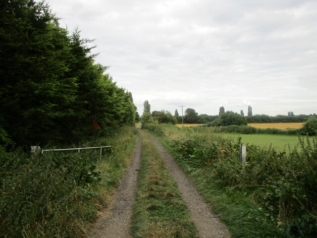
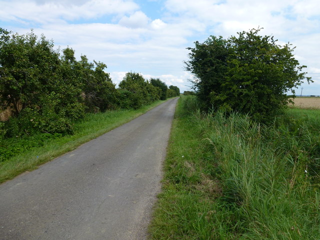
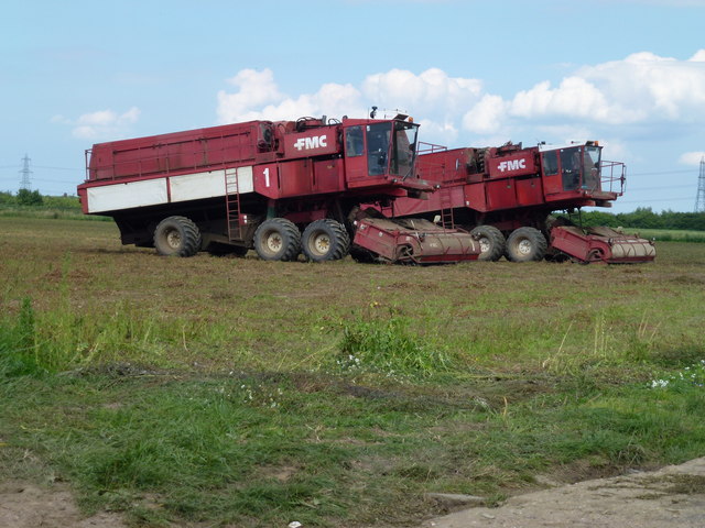
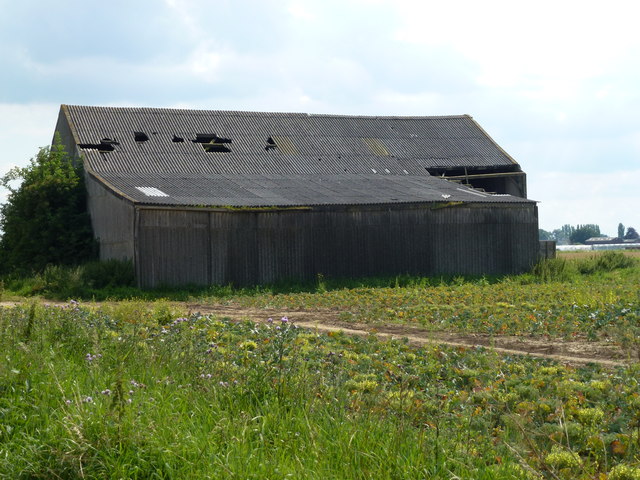
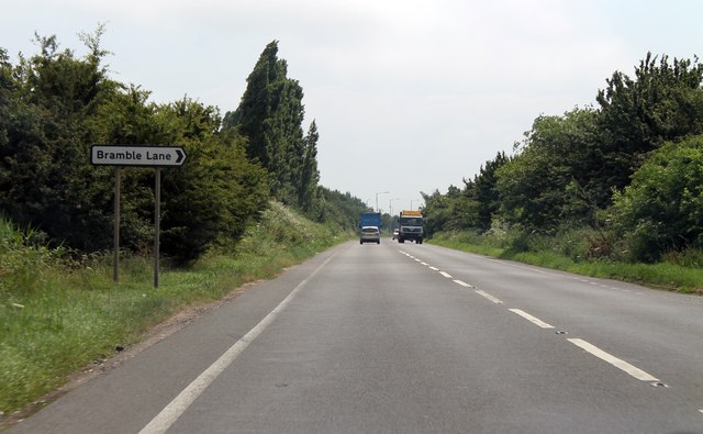
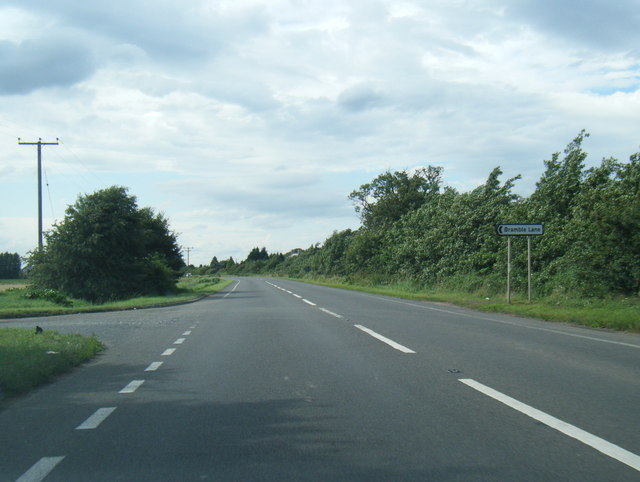
Boyces Bridge Images

Images are sourced within 2km of 52.625112/0.21407603 or Grid Reference TF4905. Thanks to Geograph Open Source API. All images are credited.

The course of the former Wisbech and Upwell Tramway This section of the tramway opened in 1884 and closed to passengers in 1927 and to freight in 1966.
The course of the former Wisbech and Upwell Tramway
This section of the tramway opened in 1884 and closed to passengers in 1927 and to freight in 1966.
Outwell: Basin Road
Outwell: Basin Road
Outwell: Bramble Lane
Sugar beet, Hall Dike, Outwell It should be a bumper crop due to high summer rainfall
Sugar beet, Hall Dike, Outwell
It should be a bumper crop due to high summer rainfall
Truncated silver birch trees, Outwell Basin Also see <a title="https://www.geograph.org.uk/photo/71523" href="https://www.geograph.org.uk/photo/71523">Link</a>
Truncated silver birch trees, Outwell Basin
Also see Link
Fendike Road, Holly End, Emneth A quiet country lane which passes between Little Fendike Field and Great Fendike Field
Fendike Road, Holly End, Emneth
A quiet country lane which passes between Little Fendike Field and Great Fendike Field
Mobile pea viners near Emneth Hungate Just finished vining on Great Fendike Field
Mobile pea viners near Emneth Hungate
Just finished vining on Great Fendike Field
Large shed on Fendike Road near Outwell
The former route of the Wisbech and Upwell tramway Looking south east from Basin Road
The former route of the Wisbech and Upwell tramway
Looking south east from Basin Road
Beaupre Hall Farm, Outwell On Wisbech Road, this farm once fronted the canal
Beaupre Hall Farm, Outwell
On Wisbech Road, this farm once fronted the canal
Outwell's colourful eatery A friendly welcome at the striking yellow "Vindaloo", which was once the plain white "Outwell Tandoori". 
Judging by the pump to the right of the building, the site was once home to a different kind of business.
Outwell's colourful eatery
A friendly welcome at the striking yellow "Vindaloo", which was once the plain white "Outwell Tandoori". Judging by the pump to the right of the building, the site was once home to a different kind of business.
A1101 junction with bramble lane
A1101 approaching roundabout Junction of Well Road.
A1101 approaching roundabout
Junction of Well Road.
A1101 Isle road 14 miles to Littleport.
A1101 Isle road
14 miles to Littleport.
Wisbech Road nearing A1101 junction
A1101 northbound at Bramble Lane junction
Ordnance Survey Flush Bracket G2944 This can be found on the wall of a private house in Wisbech Road at Outwell.
For more detail see : <span class="nowrap"><a title="http://www.bench-marks.org.uk/bm10940" rel="nofollow ugc noopener" href="http://www.bench-marks.org.uk/bm10940">Link</a><img style="margin-left:2px;" alt="External link" title="External link - shift click to open in new window" src="https://s1.geograph.org.uk/img/external.png" width="10" height="10"/></span>
Ordnance Survey Flush Bracket G2944
This can be found on the wall of a private house in Wisbech Road at Outwell. For more detail see : LinkExternal link
Outwell Basin looking northwest A vast field of unharvested broccoli (now bolted)- the flatness of the Fens is obvious.
Outwell Basin looking northwest
A vast field of unharvested broccoli (now bolted)- the flatness of the Fens is obvious.
Show me another place!

Boyces Bridge is located at Grid Ref: TF4905 (Lat: 52.625112, Lng: 0.21407603)

Division: Isle of Ely

Administrative County: Norfolk

District: King's Lynn and West Norfolk

Police Authority: Norfolk

What 3 Words

///rushed.unsigned.tooth. Near Emneth, Norfolk

Nearby Locations

Boyces Bridge

Related Wikis

Boyces Bridge railway station

Boyces Bridge railway station was a station in Norfolk on the Wisbech and Upwell Tramway commonly known as the Upwell Tramway. It was located north of...

Outwell Basin railway station

Outwell Basin railway station was a stop on the Wisbech and Upwell Tramway in Outwell, Norfolk. It opened in 1883 carrying passenger and goods traffic...

Outwell

Outwell is a village and civil parish in the borough of King's Lynn and West Norfolk, in the English county of Norfolk.At the 2011 Census, the parish had...

Beaupré Hall

Beaupré Hall was a large 16th-century house mainly of brick, which was built by the Beaupres in Outwell, Norfolk, England and enlarged by their successors...

Nearby Amenities

Located within 500m of 52.625112,0.21407603
Bus Stop
Hollycroft Road, adj
Naptan AtcoCode: 2900E092
Naptan Bearing: S
Naptan BusStopType: CUS
Naptan CommonName: Hollycroft Road
Naptan Indicator: adj
Naptan Locality: Emneth
Naptan NaptanCode: nfoapdpa
Naptan Street: Outwell Road
Naptan Verified: no
Source: naptan_import
Lat/Long: 52.6289014/0.2100902
Post Box
Lat/Long: 52.628697/0.2104092
The data included in this document is from www.openstreetmap.org. The data is made available under ODbL.

Have you been to Boyces Bridge?

Leave your review of Boyces Bridge below (or comments, questions and feedback).