Symond's Stool Coppice
Wood, Forest in Worcestershire Wyre Forest
England
Symond's Stool Coppice
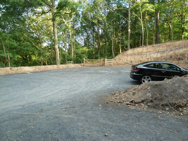
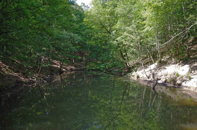
Symond's Stool Coppice is a picturesque woodland located in the county of Worcestershire, England. Spread over an area of approximately 50 acres, this ancient woodland is renowned for its diverse range of tree species and tranquil atmosphere.
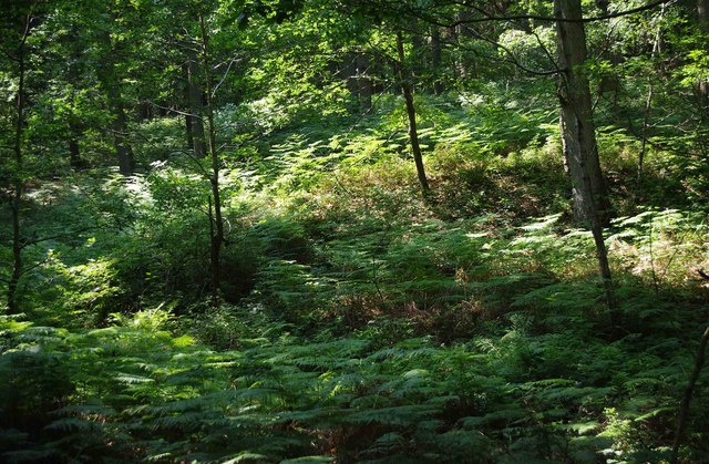
The coppice is predominantly composed of broadleaf trees, including oak, ash, beech, and birch, which create a lush and verdant canopy. These trees have been carefully managed and harvested over the years, resulting in a well-maintained woodland with a rich understory of shrubs and plants. The forest floor is carpeted with wildflowers such as bluebells, primroses, and wood anemones during the spring season, adding a burst of color and fragrance to the surroundings.
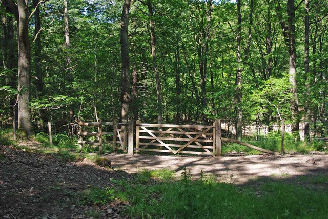
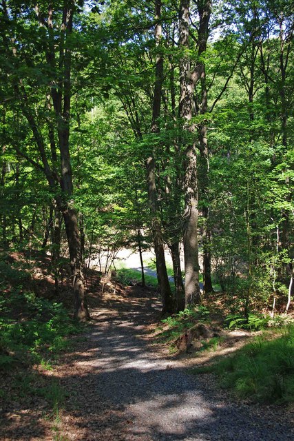
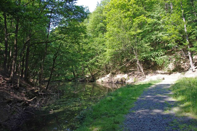
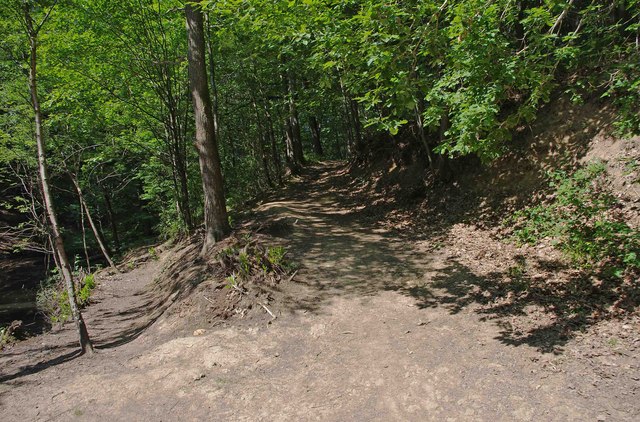
The woodland is crisscrossed with a network of footpaths, allowing visitors to explore and immerse themselves in nature. These paths meander through the dense foliage, leading to hidden clearings and secluded spots, perfect for picnics or quiet contemplation. The peaceful ambiance of Symond's Stool Coppice makes it a popular destination for nature enthusiasts, walkers, and photographers.
The woodland is also home to a variety of wildlife, including deer, foxes, badgers, and a diverse range of bird species. Birdwatchers can delight in spotting woodpeckers, jays, and various songbirds as they flit among the treetops. The tranquil environment provides a sanctuary for these creatures, ensuring their continued presence in the area.
Overall, Symond's Stool Coppice is a haven of natural beauty and tranquility, offering visitors a chance to escape the hustle and bustle of everyday life and reconnect with nature.
If you have any feedback on the listing, please let us know in the comments section below.
Symond's Stool Coppice Images
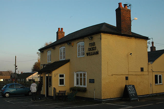
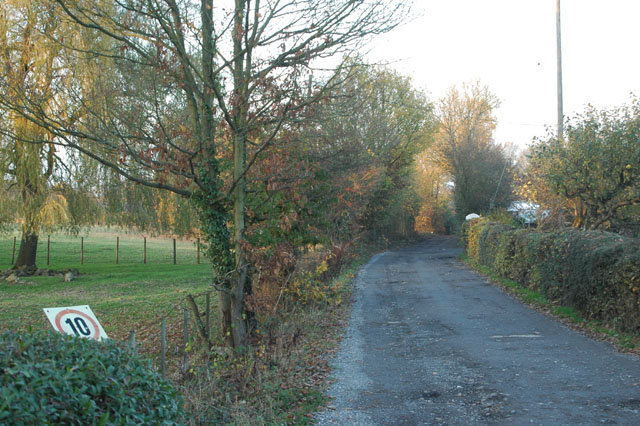
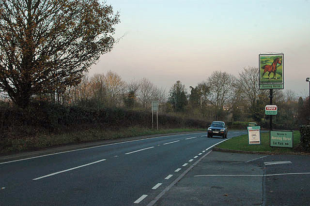
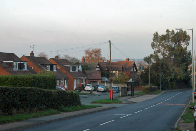
Images are sourced within 2km of 52.37394/-2.3487712 or Grid Reference SO7675. Thanks to Geograph Open Source API. All images are credited.


Symond's Stool Coppice is located at Grid Ref: SO7675 (Lat: 52.37394, Lng: -2.3487712)
Administrative County: Worcestershire
District: Wyre Forest
Police Authority: West Mercia
What 3 Words
///dugouts.betrayal.snore. Near Bewdley, Worcestershire
Nearby Locations
Related Wikis

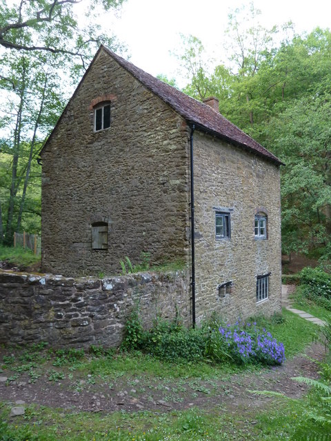
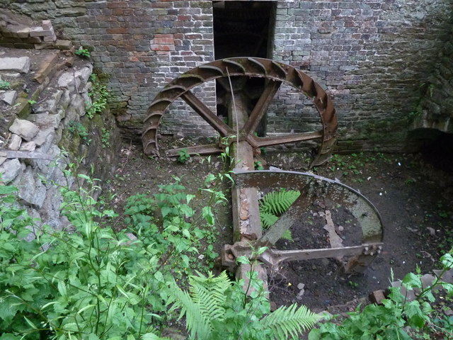
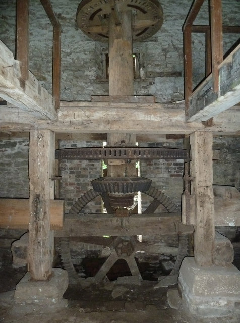
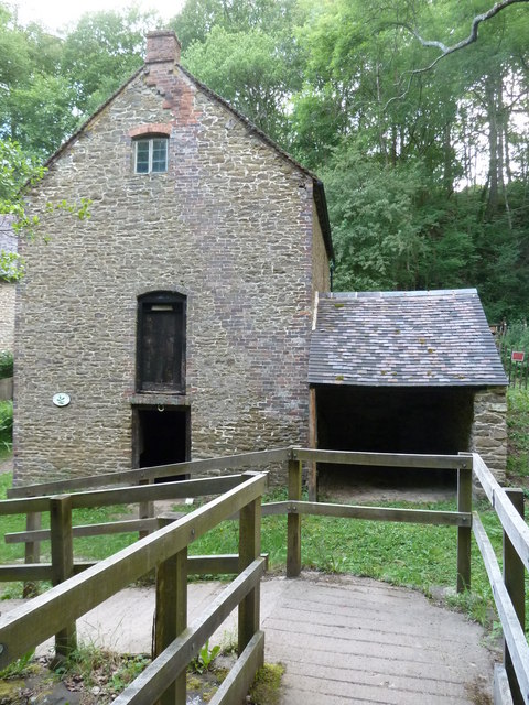
Knowles Mill
Knowles Mill is the remains of an eighteenth-century water-powered grain mill, located in the Wyre Forest in Worcestershire, England. The mill has been...

A456 road
Known as the Hagley Road in Birmingham, the A456 is a main road in England running between Central Birmingham and Woofferton, Shropshire, south of Ludlow...

Dowles
Dowles is a hamlet in the civil parish of Upper Arley, in the Wyre Forest district, in the county of Worcestershire, England. It is about 3 miles from...

Wyre Forest
Wyre Forest is a large, semi-natural (partially unmanaged) woodland and forest measuring 26.34 square kilometres (10.17 sq mi) which straddles the borders...

Dowles Brook
Dowles Brook flows through the heart of the Wyre Forest, into the former civil parish of Dowles and into the River Severn. == History == In 1902, ornithologist...

Tickenhill Palace
Tickenhill Palace (also known as Tickenhill House or Tickenhall Manor) is a historic building in Bewdley, Worcestershire, England. It is a grade II* listed...

Ribbesford
Ribbesford is a village and civil parish in the Wyre Forest District of Worcestershire, England. At the 2001 census it had a population of 237.Notable...

Bewdley Museum
Bewdley Museum is a museum in the town of Bewdley in Worcestershire, England. It is managed by the Wyre Forest District Council. == History == The Bewdley...
Nearby Amenities
Located within 500m of 52.37394,-2.3487712Have you been to Symond's Stool Coppice?
Leave your review of Symond's Stool Coppice below (or comments, questions and feedback).