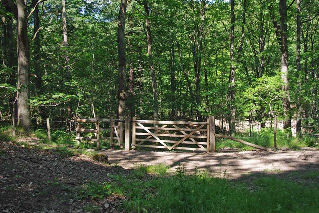
Hitterhill Coppice
Wood, Forest in Worcestershire Wyre Forest
England
Hitterhill Coppice

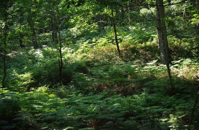
Hitterhill Coppice is an enchanting woodland located in Worcestershire, England. This picturesque forest covers an area of approximately 100 acres and is a popular destination for nature enthusiasts and outdoor enthusiasts alike. The coppice is situated on the eastern edge of the county, near the village of Hitterhill.
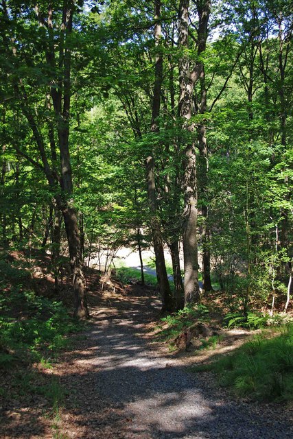
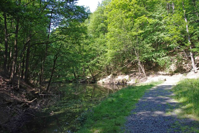
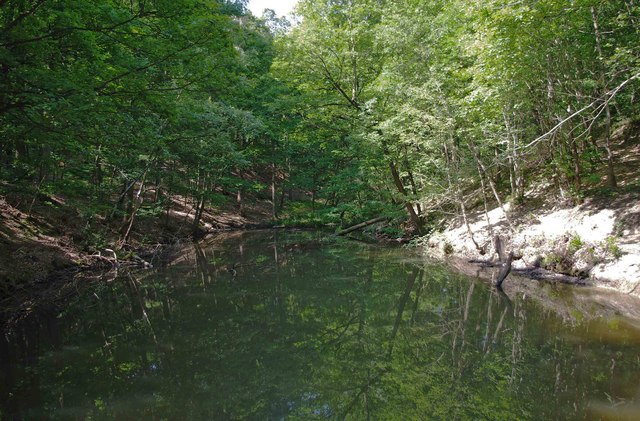
The woodland consists primarily of deciduous trees, including oak, ash, and beech, which create a stunning canopy during the spring and summer months. The forest floor is adorned with a rich carpet of bluebells and wildflowers, adding to the area's natural beauty. Hitterhill Coppice is also home to a variety of wildlife, including deer, foxes, and a diverse array of bird species.
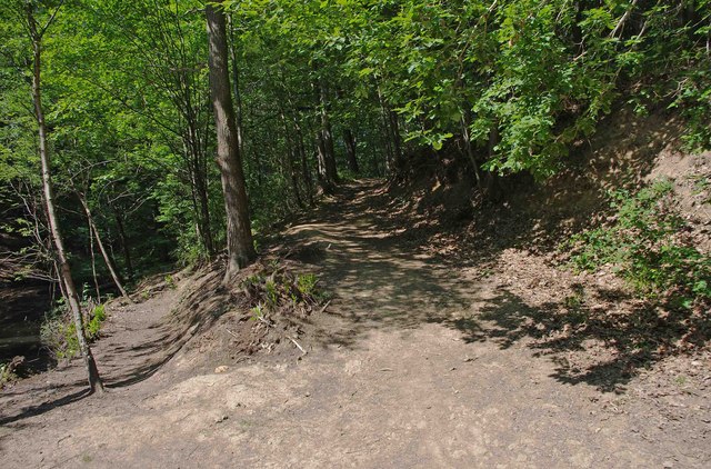
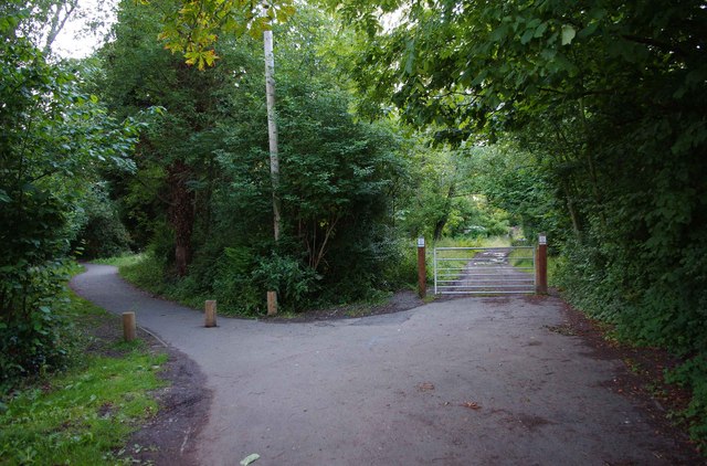
Visitors to Hitterhill Coppice can enjoy a range of activities, such as hiking, birdwatching, and photography. The forest boasts a network of well-maintained trails that wind through the trees, allowing visitors to explore the woodland at their own pace. There are also several designated picnic areas where visitors can relax and take in the peaceful surroundings.
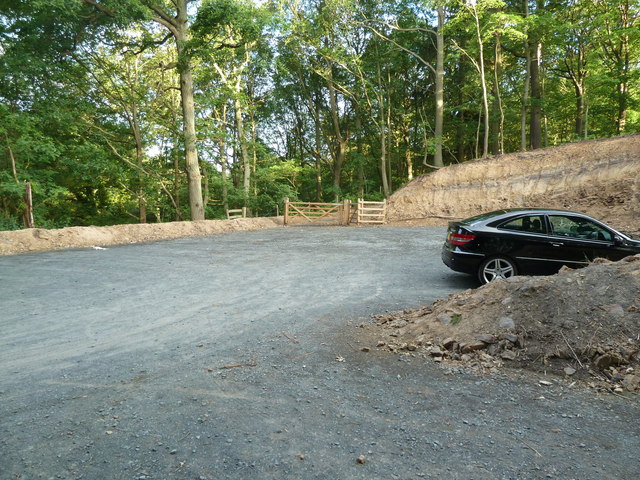
Hitterhill Coppice is easily accessible, with ample parking available nearby. The woodland is open to the public year-round and is free to visit. It is advised to wear appropriate footwear and bring insect repellent, especially during the warmer months.
Overall, Hitterhill Coppice offers a tranquil and idyllic escape from the hustle and bustle of everyday life, providing visitors with a chance to immerse themselves in the natural beauty of Worcestershire's woodlands.
If you have any feedback on the listing, please let us know in the comments section below.
Hitterhill Coppice Images
Images are sourced within 2km of 52.380027/-2.3424581 or Grid Reference SO7675. Thanks to Geograph Open Source API. All images are credited.

Hitterhill Coppice is located at Grid Ref: SO7675 (Lat: 52.380027, Lng: -2.3424581)
Administrative County: Worcestershire
District: Wyre Forest
Police Authority: West Mercia
What 3 Words
///occupy.replaces.hillsides. Near Bewdley, Worcestershire
Nearby Locations
Related Wikis

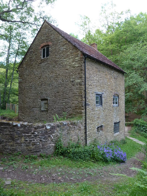
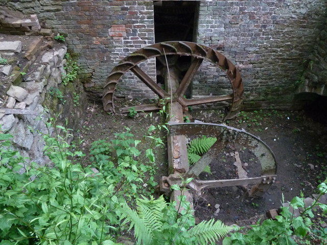
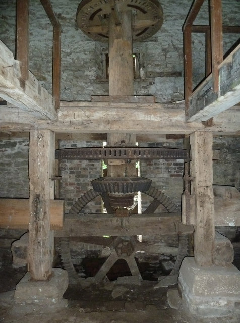
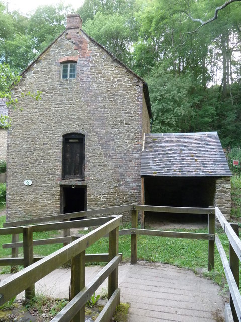
Knowles Mill
Knowles Mill is the remains of an eighteenth-century water-powered grain mill, located in the Wyre Forest in Worcestershire, England. The mill has been...

Dowles
Dowles is a hamlet in the civil parish of Upper Arley, in the Wyre Forest district, in the county of Worcestershire, England. It is about 3 miles from...

Dowles Brook
Dowles Brook flows through the heart of the Wyre Forest, into the former civil parish of Dowles and into the River Severn. == History == In 1902, ornithologist...

A456 road
Known as the Hagley Road in Birmingham, the A456 is a main road in England running between Central Birmingham and Woofferton, Shropshire, south of Ludlow...

Tickenhill Palace
Tickenhill Palace (also known as Tickenhill House or Tickenhall Manor) is a historic building in Bewdley, Worcestershire, England. It is a grade II* listed...

Wyre Forest
Wyre Forest is a large, semi-natural (partially unmanaged) woodland and forest measuring 26.34 square kilometres (10.17 sq mi) which straddles the borders...
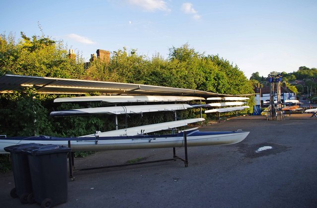
Bewdley Rowing Club
Bewdley Rowing Club is a rowing club on the River Severn, based at Riverside North, Wribbenhall, Bewdley, Wyre Forest District, West Midlands. == Club... ==

Northwood Halt railway station
Northwood Halt is an unstaffed request stop on the Severn Valley Railway in Worcestershire, situated a little to the north of Bewdley on the outskirts...
Nearby Amenities
Located within 500m of 52.380027,-2.3424581Have you been to Hitterhill Coppice?
Leave your review of Hitterhill Coppice below (or comments, questions and feedback).