Swan Pool
Lake, Pool, Pond, Freshwater Marsh in Worcestershire Wyre Forest
England
Swan Pool
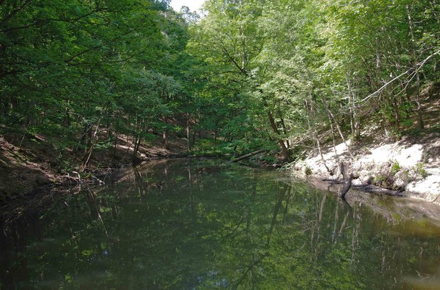
Swan Pool is a picturesque freshwater marsh located in Worcestershire, England. It is a beautiful area surrounded by lush greenery, making it a haven for wildlife and a popular destination for nature lovers. The pool itself is a small body of water, resembling a pond or a lake, and is home to an abundance of aquatic plants and animals.
The pool is named after the swans that inhabit the area, adding to its charm and serenity. These graceful birds can often be seen gliding across the calm waters, creating a peaceful and tranquil atmosphere. The pool is also frequented by other waterfowl, such as ducks and geese, adding to the diverse array of wildlife found in the area.
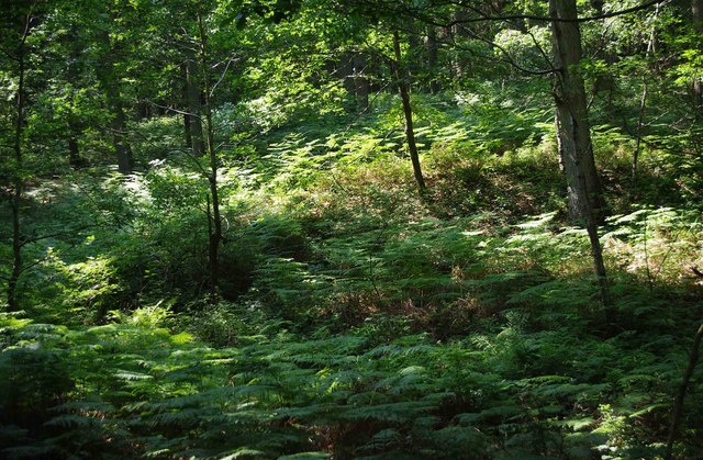
The pool is surrounded by a marshland, which is characterized by its wet and marshy conditions. This creates a unique habitat for various plant species, including reeds, bulrushes, and water lilies. Additionally, the marsh provides an ideal environment for numerous species of insects and amphibians.
The pool is a popular spot for birdwatchers, as it attracts a wide variety of bird species throughout the year. Visitors can observe a plethora of birds, including herons, kingfishers, and warblers, making it a haven for bird enthusiasts.
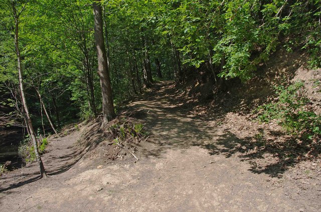
Swan Pool offers a peaceful and idyllic setting for those seeking to connect with nature. Its diverse ecosystem, abundant wildlife, and stunning surroundings make it a must-visit destination for anyone looking to immerse themselves in the beauty of Worcestershire's natural landscape.
If you have any feedback on the listing, please let us know in the comments section below.
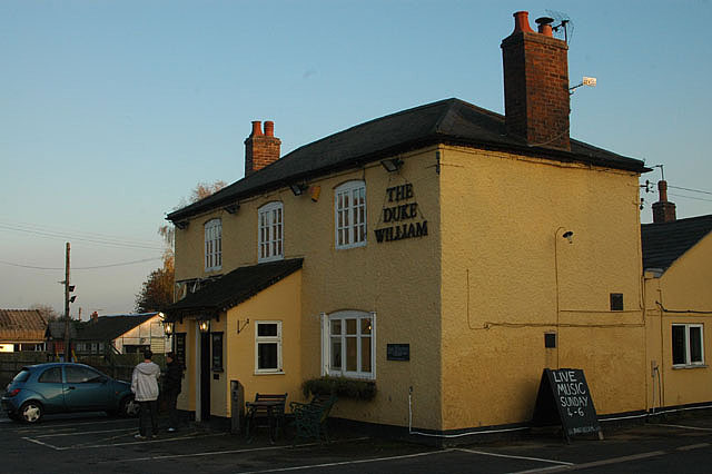
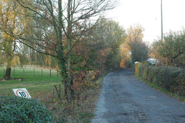
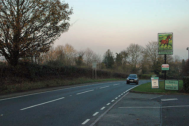
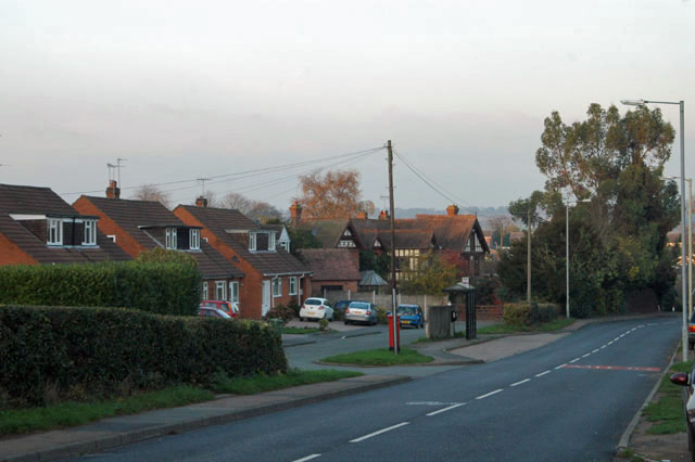
Swan Pool Images
Images are sourced within 2km of 52.374423/-2.3526383 or Grid Reference SO7675. Thanks to Geograph Open Source API. All images are credited.


Swan Pool is located at Grid Ref: SO7675 (Lat: 52.374423, Lng: -2.3526383)
Administrative County: Worcestershire
District: Wyre Forest
Police Authority: West Mercia
What 3 Words
///belong.beakers.surface. Near Bewdley, Worcestershire
Nearby Locations
Related Wikis

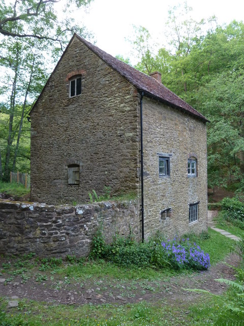
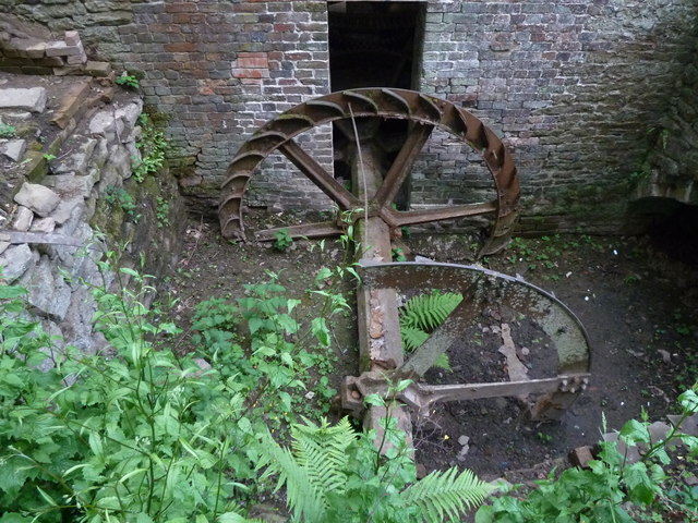
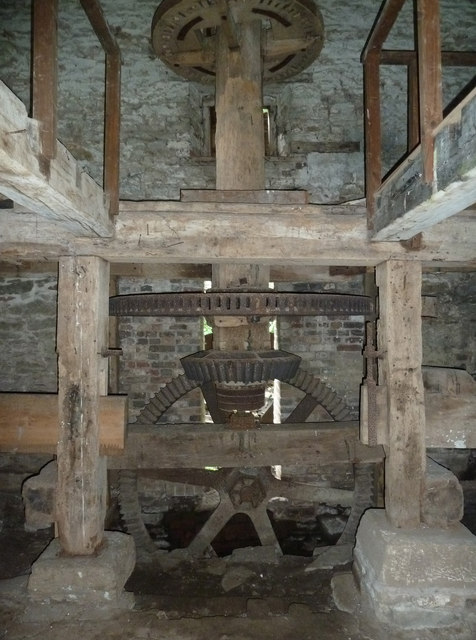
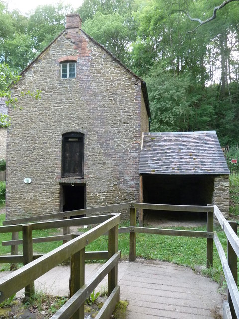
Knowles Mill
Knowles Mill is the remains of an eighteenth-century water-powered grain mill, located in the Wyre Forest in Worcestershire, England. The mill has been...

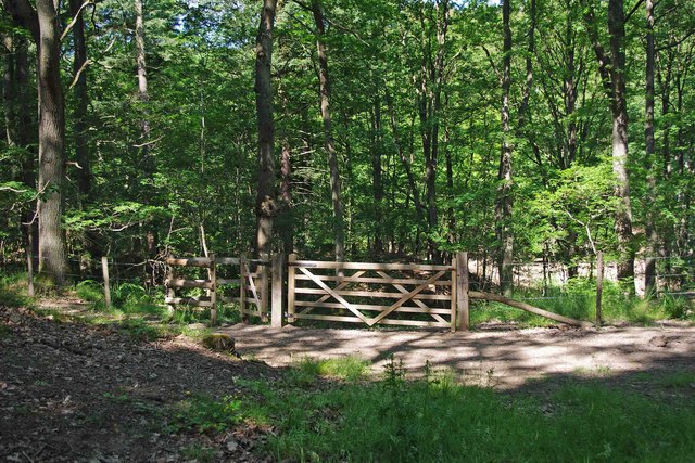
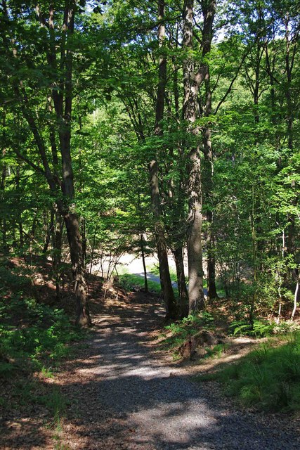
Wyre Forest
Wyre Forest is a large, semi-natural (partially unmanaged) woodland and forest measuring 26.34 square kilometres (10.17 sq mi) which straddles the borders...

A456 road
Known as the Hagley Road in Birmingham, the A456 is a main road in England running between Central Birmingham and Woofferton, Shropshire, south of Ludlow...

Dowles
Dowles is a hamlet in the civil parish of Upper Arley, in the Wyre Forest district, in the county of Worcestershire, England. It is about 3 miles from...

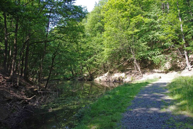
Dowles Brook
Dowles Brook flows through the heart of the Wyre Forest, into the former civil parish of Dowles and into the River Severn. == History == In 1902, ornithologist...

Ribbesford
Ribbesford is a village and civil parish in the Wyre Forest District of Worcestershire, England. At the 2001 census it had a population of 237.Notable...

Tickenhill Palace
Tickenhill Palace (also known as Tickenhill House or Tickenhall Manor) is a historic building in Bewdley, Worcestershire, England. It is a grade II* listed...

Bewdley Museum
Bewdley Museum is a museum in the town of Bewdley in Worcestershire, England. It is managed by the Wyre Forest District Council. == History == The Bewdley...
Nearby Amenities
Located within 500m of 52.374423,-2.3526383Have you been to Swan Pool?
Leave your review of Swan Pool below (or comments, questions and feedback).