Long Tram Plantation
Wood, Forest in Yorkshire Craven
England
Long Tram Plantation
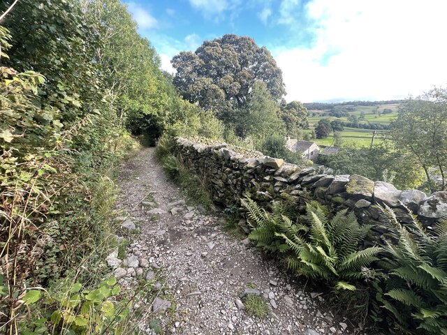
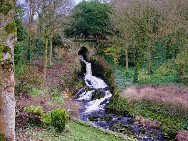
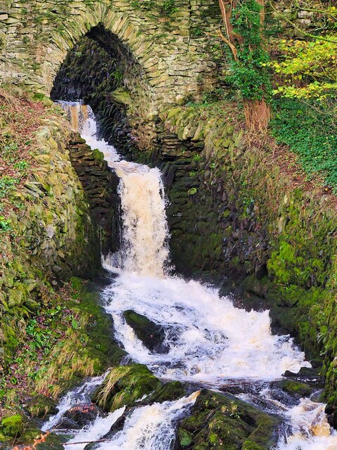
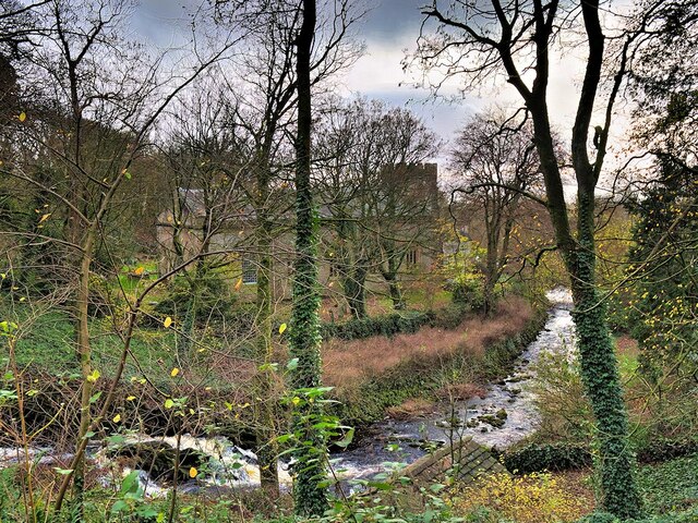
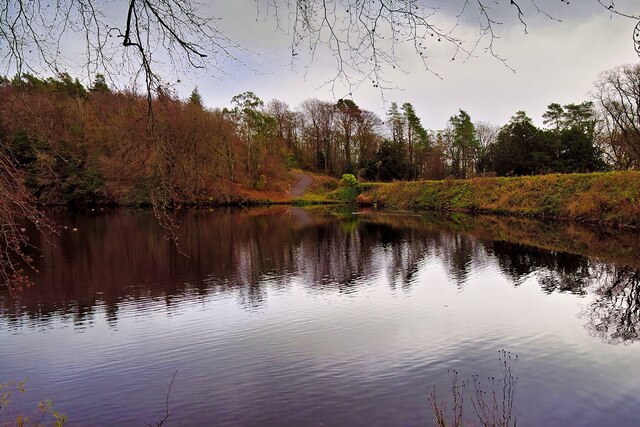
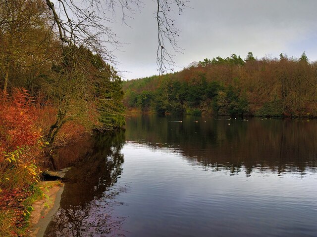
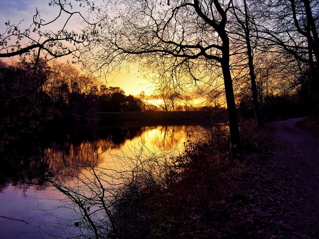
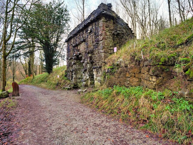
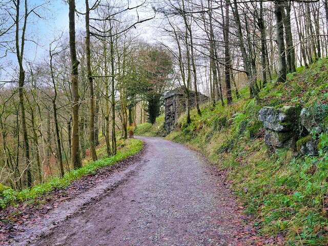
Long Tram Plantation is a sprawling woodland located in the picturesque region of Yorkshire, England. Situated in the heart of the county, this plantation covers a vast area of dense forest, offering visitors a serene and tranquil escape from the hustle and bustle of city life.
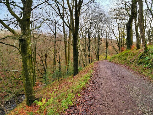
The plantation is primarily comprised of a variety of tall and majestic trees, including oak, beech, and pine, which provide a dense canopy overhead. The forest floor is rich with a diverse range of flora, including ferns, mosses, and wildflowers, creating a vibrant and enchanting atmosphere.
Long Tram Plantation is a haven for birdwatchers and nature enthusiasts, as it is home to a plethora of avian species. Visitors can spot birds such as woodpeckers, jays, and owls, all of which thrive in the woodland habitat. The plantation also supports a wide range of small mammals, including squirrels, rabbits, and foxes.
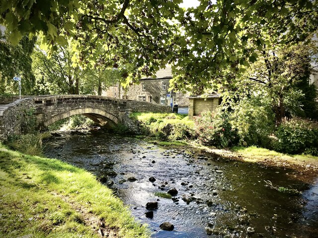
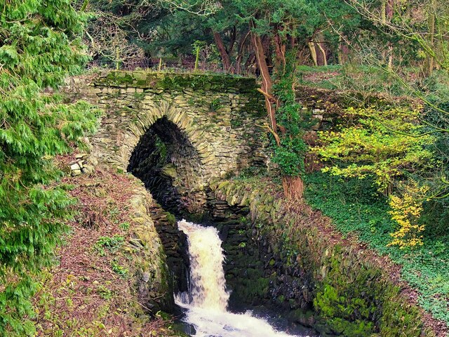
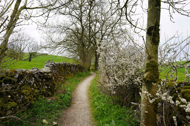
The plantation offers a network of well-maintained walking trails, allowing visitors to explore the woodland at their own pace. These trails wind through the forest, offering glimpses of hidden streams and picturesque clearings along the way. Nature lovers can expect to encounter breathtaking views and a sense of tranquility as they immerse themselves in the beauty of Long Tram Plantation.
With its stunning natural beauty and diverse wildlife, Long Tram Plantation is a popular destination for both locals and tourists seeking a peaceful escape into nature. Whether it's a leisurely stroll or a birdwatching adventure, this woodland sanctuary offers a unique and unforgettable experience for all who visit.
If you have any feedback on the listing, please let us know in the comments section below.
Long Tram Plantation Images
Images are sourced within 2km of 54.116923/-2.3632339 or Grid Reference SD7669. Thanks to Geograph Open Source API. All images are credited.


Long Tram Plantation is located at Grid Ref: SD7669 (Lat: 54.116923, Lng: -2.3632339)
Division: West Riding
Administrative County: North Yorkshire
District: Craven
Police Authority: North Yorkshire
What 3 Words
///gliders.lost.motivator. Near Settle, North Yorkshire
Nearby Locations
Related Wikis
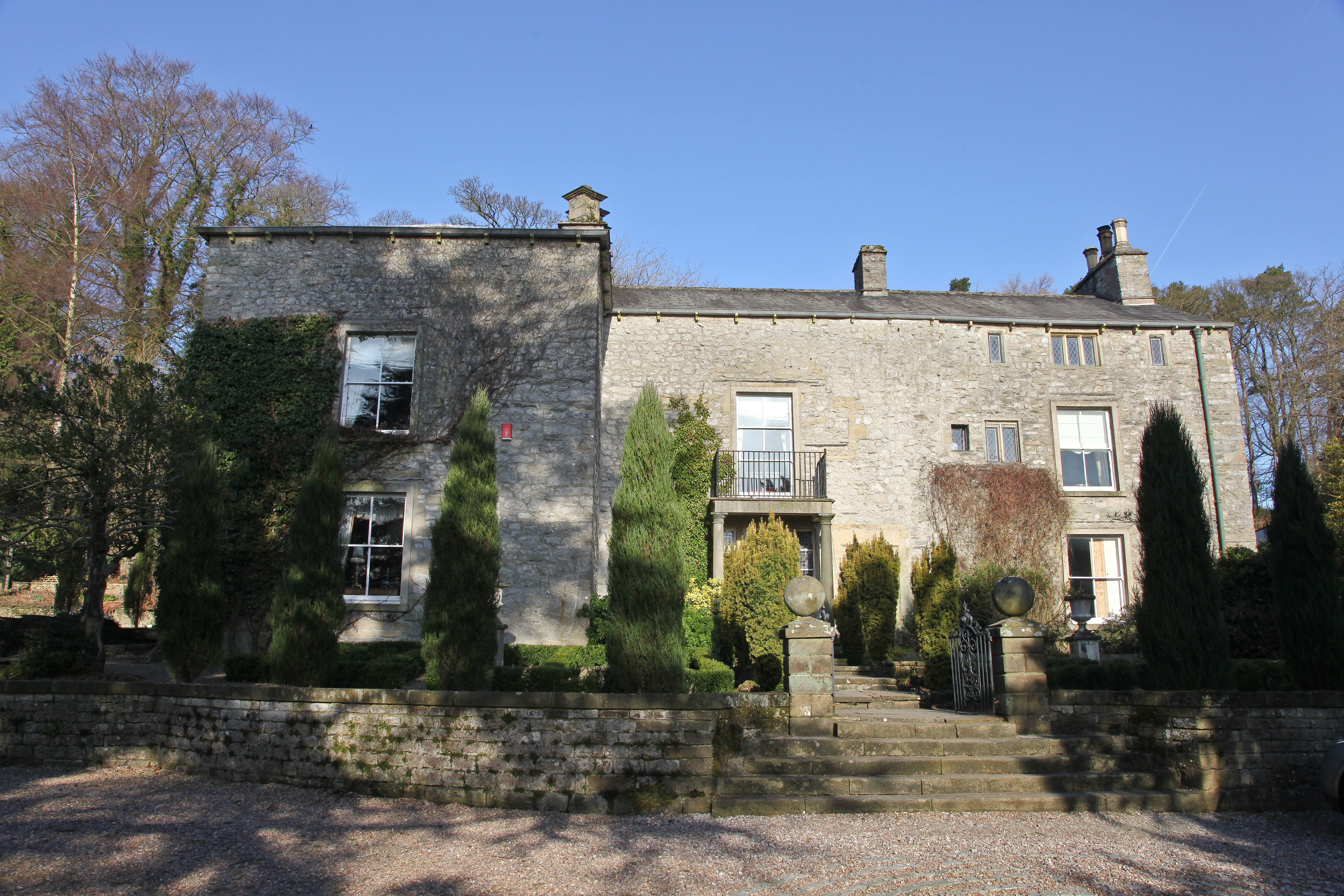
Austwick Hall
Austwick Hall is an historic manor house situated above the village of Austwick in North Yorkshire, England. The house is a Grade II listed building and...

Austwick
Austwick is a village and civil parish in the Craven district of North Yorkshire, England, about 5 miles (8 km) north-west of Settle. The village is on...

Norber erratics
The Norber erratics are one of the finest groups of glacial erratic boulders in Britain. They are found on the southern slopes of Ingleborough, close to...

Clapham, North Yorkshire
Clapham is a village in the civil parish of Clapham cum Newby in the Craven district of North Yorkshire, England. It was previously in the West Riding...
Nearby Amenities
Located within 500m of 54.116923,-2.3632339Have you been to Long Tram Plantation?
Leave your review of Long Tram Plantation below (or comments, questions and feedback).