Swan Clump
Wood, Forest in Cheshire
England
Swan Clump
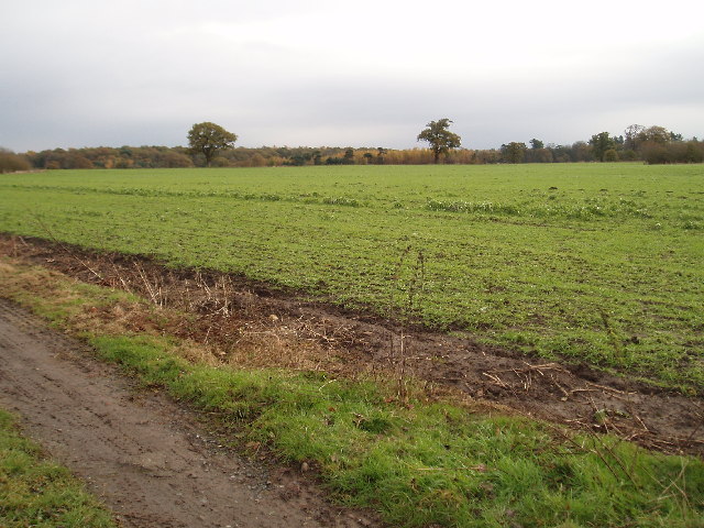
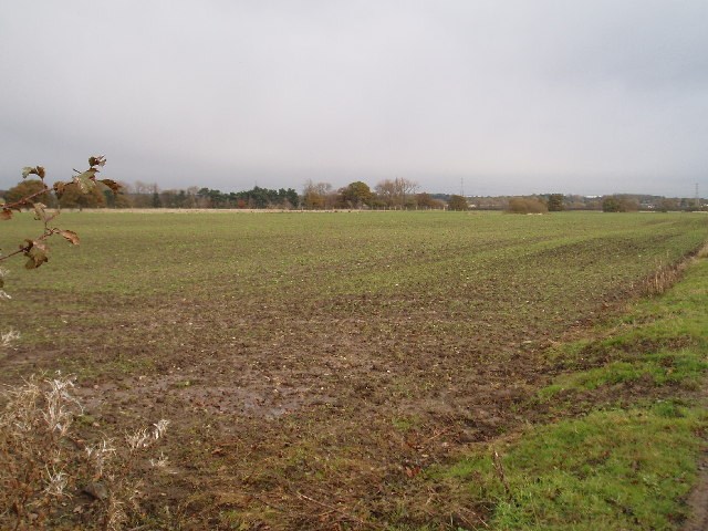
Swan Clump is a beautiful woodland area located in Cheshire, England. It is situated in the heart of the county, near the town of Nantwich. This wooded area is commonly referred to as Swan Clump due to the presence of a large number of swans found in the surrounding pond.
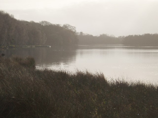
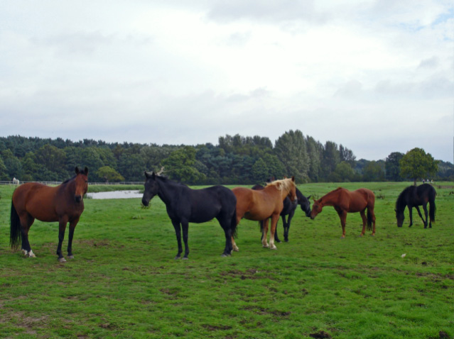
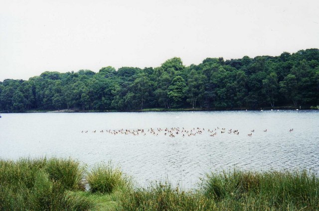
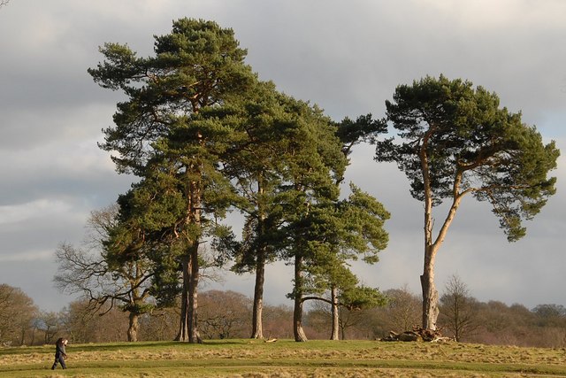
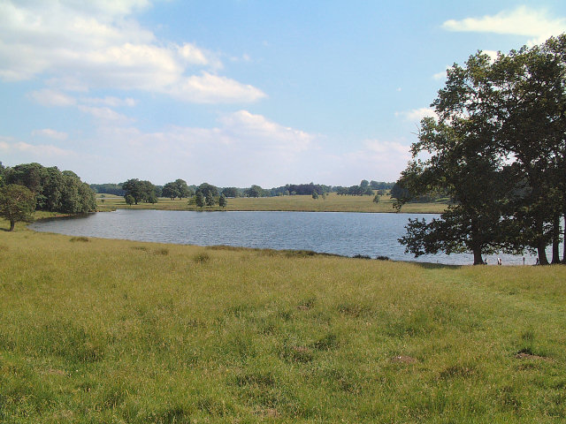
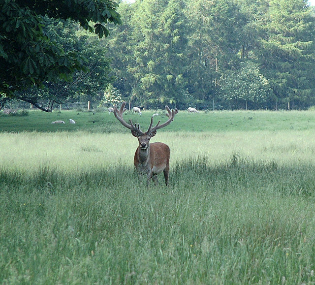
The woodland itself is a mix of broadleaf and coniferous trees, creating a diverse and picturesque landscape. The trees provide an excellent habitat for a variety of wildlife, including birds, squirrels, and deer. The area is also home to a wide range of plant species, adding to its ecological significance.
Swan Clump is a favorite destination for nature enthusiasts, hikers, and families looking to enjoy the outdoors. The woodland offers a network of well-maintained footpaths, allowing visitors to explore the area easily. There are also picnic areas scattered throughout the woods, providing the perfect spot for a leisurely lunch.
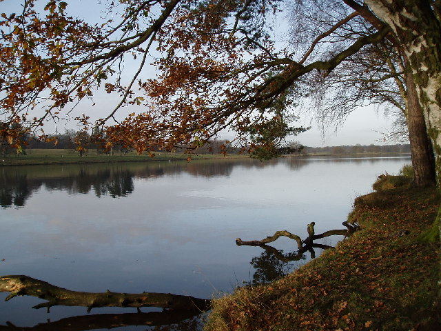
The centerpiece of Swan Clump is the serene pond, which is home to a large population of swans. These graceful birds can often be seen gliding across the water, adding to the tranquility and charm of the area.
The woodland is managed by the local authorities, ensuring its preservation and protection for future generations to enjoy. Swan Clump truly offers a peaceful escape from the hustle and bustle of everyday life, providing a serene and natural environment for all to appreciate.
If you have any feedback on the listing, please let us know in the comments section below.
Swan Clump Images
Images are sourced within 2km of 53.330526/-2.3629112 or Grid Reference SJ7581. Thanks to Geograph Open Source API. All images are credited.


Swan Clump is located at Grid Ref: SJ7581 (Lat: 53.330526, Lng: -2.3629112)
Unitary Authority: Cheshire East
Police Authority: Cheshire
What 3 Words
///jungle.absent.flag. Near Mere, Cheshire
Nearby Locations
Related Wikis

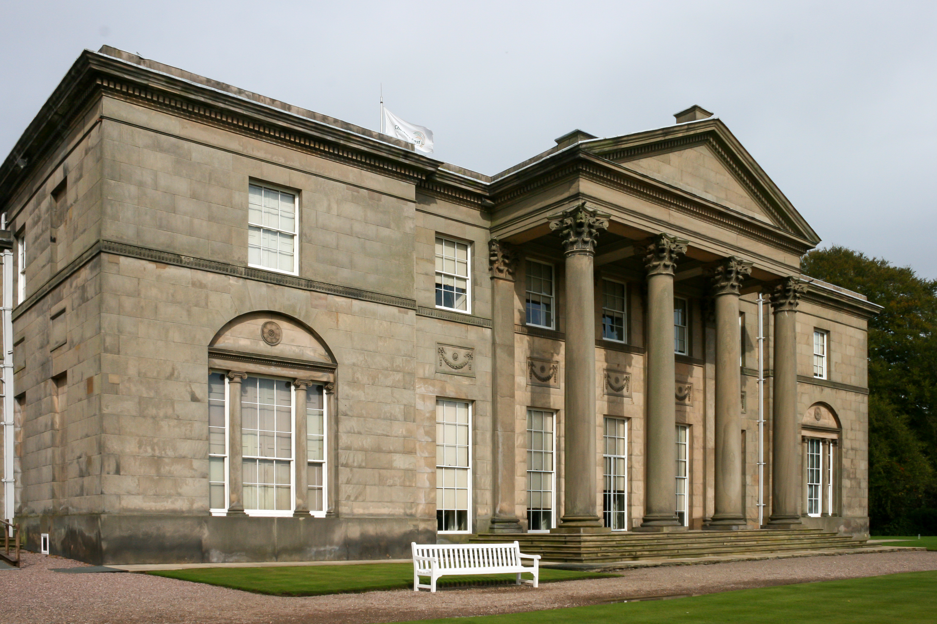
Tatton Old Hall
Tatton Old Hall is a historic building in Tatton Park near Knutsford, Cheshire, England. It is designated by English Heritage as a Grade II* listed building...
Tatton, Cheshire
Tatton is a former civil parish, now in the parish of Millington and Rostherne, in the Cheshire East district and ceremonial county of Cheshire in England...
Tatton Hall
Tatton Hall is a country house in Tatton Park near Knutsford, Cheshire, England. It is designated as a Grade I listed building and is open to the public...

Tatton Park
Tatton Park is a historic estate in Cheshire, England, north of the town of Knutsford. It contains a mansion, Tatton Hall; a medieval manor house, Tatton...
Tatton Park Flower Show
RHS Flower Show Tatton Park held at Tatton Park, near Knutsford, Cheshire, first began in 1999 by the Royal Horticultural Society. The show houses the...
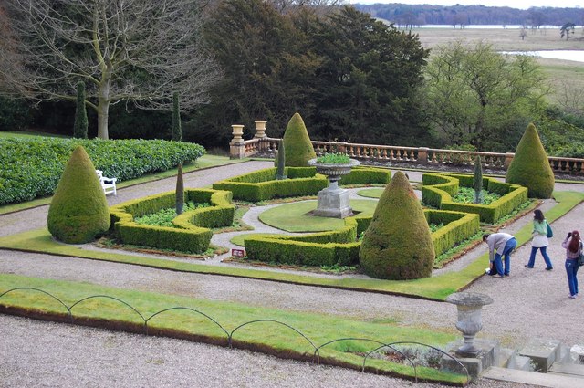
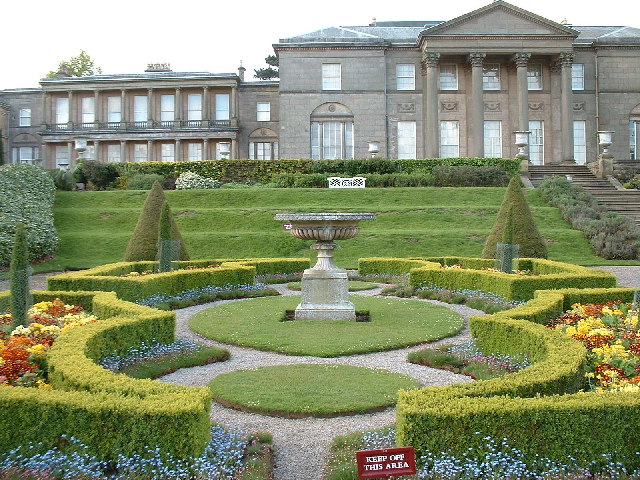
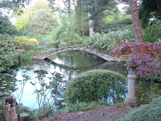
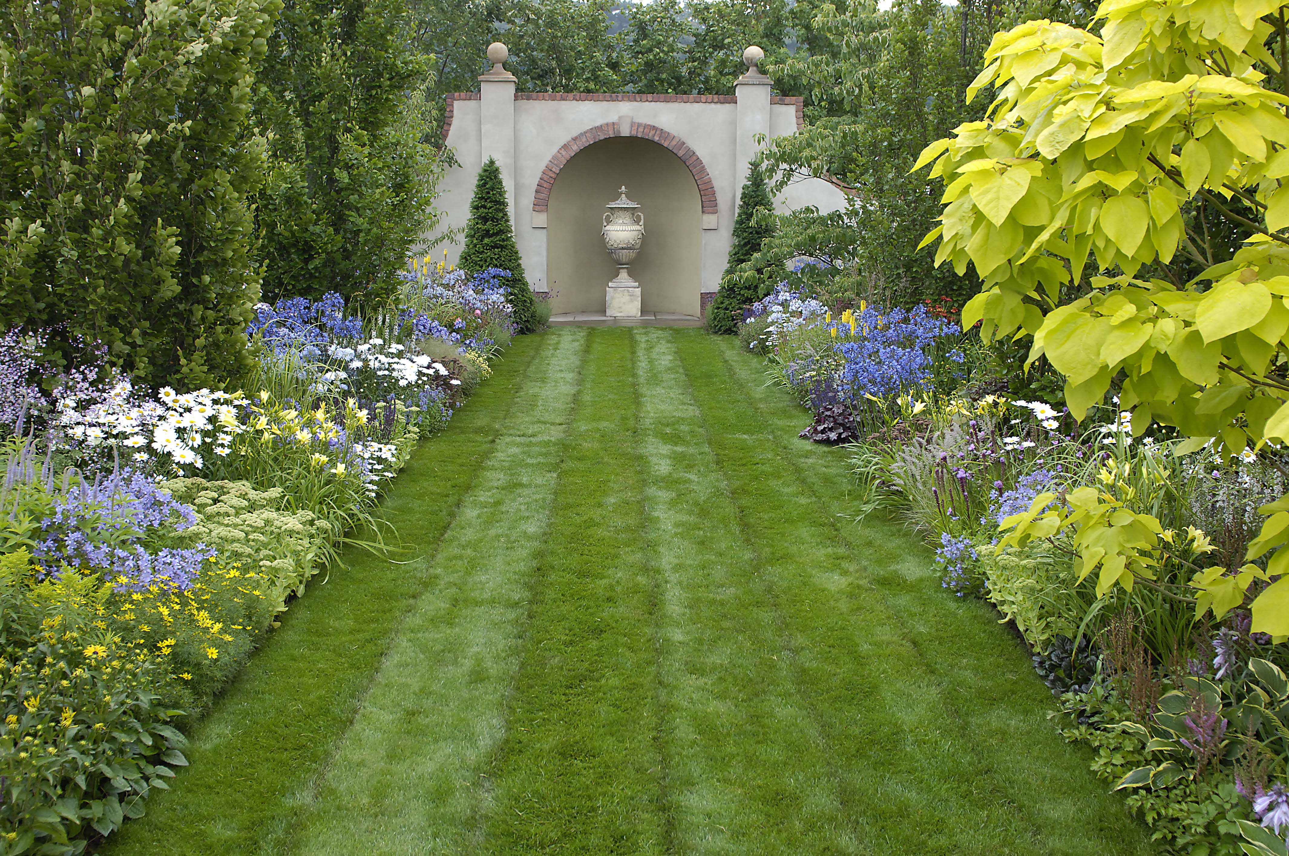
Tatton Park Gardens
Tatton Park Gardens consist of formal and informal gardens in Tatton Park to the south of Tatton Hall, Cheshire, England (grid reference SJ744814). Included...

Mobberley railway station
Mobberley railway station serves the village of Mobberley in Cheshire, England. It is to the north of the village and is managed by Northern Trains. The...

Egerton F.C.
Egerton Football Club is a football club based in Knutsford, Cheshire, England. They are currently members of the Cheshire League Premier Division and...
Related Videos

Best Place In England TATTON Park Knutsfort 4K Video MANCHESTER Walking Around
Take a virtual Walk With Us as we witness the beauty of Tatton Park. #Tattonpark #knutsfort #manchester #walkwithus ...

Walking to The Courtyard
Even when the weather is typically British, walking from busy King Street to the serenity of The Courtyard is still delightful.

Nearby Amenities
Located within 500m of 53.330526,-2.3629112Have you been to Swan Clump?
Leave your review of Swan Clump below (or comments, questions and feedback).