Crow Wood

Wood, Forest in Cheshire

England

Crow Wood

Tatton Mere (Tatton Park) Looking south, Crosstown Church visible above trees
Tatton Mere (Tatton Park) Credit: Ian Warburton

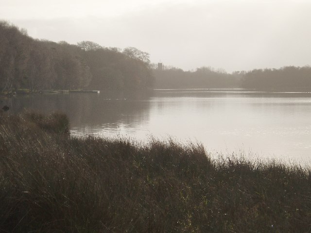
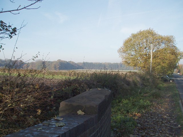
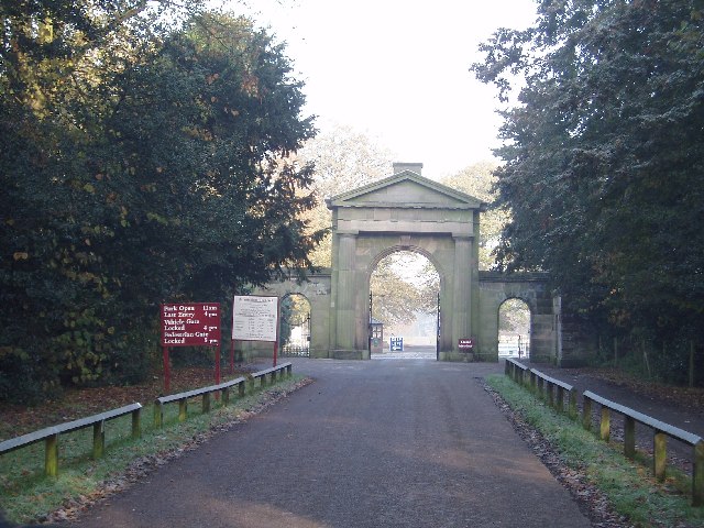
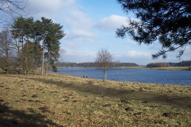
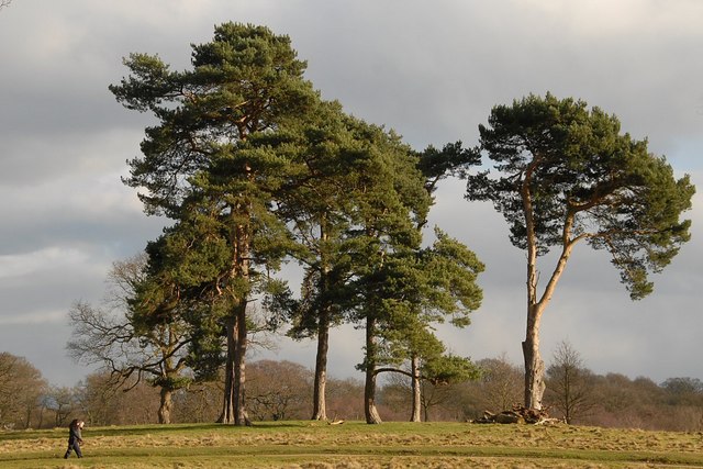
Crow Wood is a picturesque woodland located in Cheshire, England. Covering an area of approximately 100 acres, this ancient forest is renowned for its natural beauty and diverse range of wildlife. The wood is situated in close proximity to the town of Nether Alderley, offering a peaceful retreat for nature enthusiasts and outdoor adventurers alike.

The woodland is predominantly composed of native British trees, including oak, birch, and beech, creating a rich and vibrant canopy overhead. The forest floor is adorned with a carpet of bluebells and wildflowers during the spring months, adding to the enchanting atmosphere of the woodland.

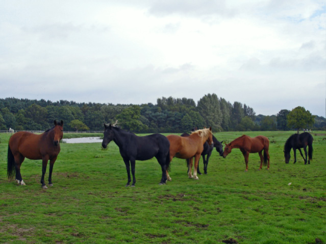
Crow Wood is home to a diverse range of fauna, including deer, foxes, badgers, and a variety of bird species. Birdwatchers flock to the area to catch glimpses of woodpeckers, owls, and various migratory birds that visit the wood throughout the year.

The wood offers a network of well-maintained paths and trails, allowing visitors to explore the forest at their leisure. These pathways wind through the trees, providing stunning views of the surrounding countryside. The wood also features a designated picnic area, where visitors can relax and enjoy a meal amidst the tranquil surroundings.

Crow Wood is a popular destination for outdoor activities such as hiking, cycling, and nature walks. It provides a perfect escape from the hustle and bustle of everyday life, offering a serene and peaceful environment for visitors to reconnect with nature.

If you have any feedback on the listing, please let us know in the comments section below.
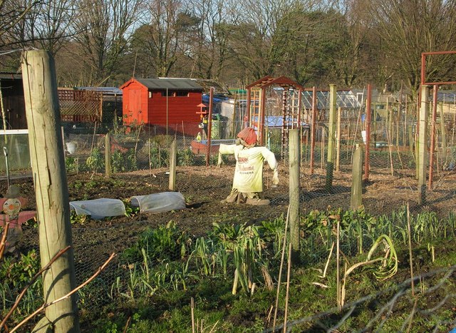
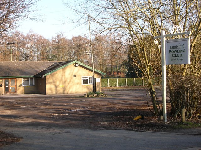
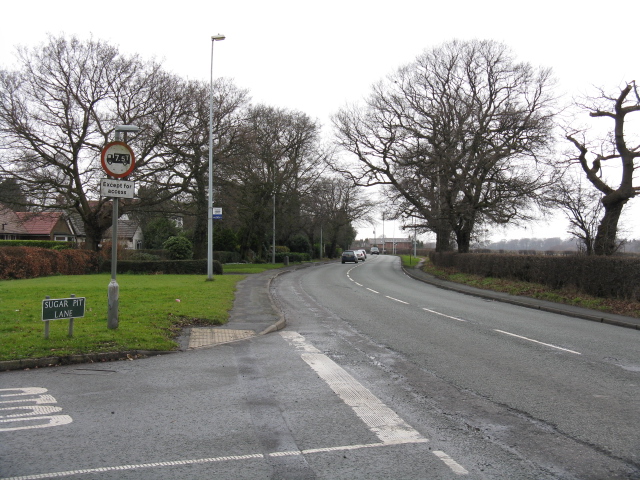
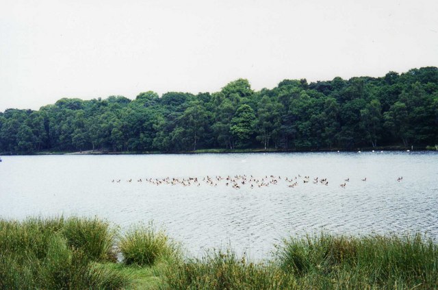
Crow Wood Images

Images are sourced within 2km of 53.325823/-2.3722699 or Grid Reference SJ7581. Thanks to Geograph Open Source API. All images are credited.

Tatton Mere (Tatton Park) Looking south, Crosstown Church visible above trees
Tatton Mere (Tatton Park)
Looking south, Crosstown Church visible above trees
Egerton Youth Club Situated opposite Knutsford Golf Club on Mereheath Lane, the youth club benefits from spacious playing fields.
Egerton Youth Club
Situated opposite Knutsford Golf Club on Mereheath Lane, the youth club benefits from spacious playing fields.
View from Parkgate Lane Railway Bridge Looking west towards Dog Wood (Tatton Park). Parkgate lane is the only access road to Knutsford Industrial Estate
View from Parkgate Lane Railway Bridge
Looking west towards Dog Wood (Tatton Park). Parkgate lane is the only access road to Knutsford Industrial Estate
View NE from Parkgate Lane Railway Bridge Knutsford Industrial Estate on left
View NE from Parkgate Lane Railway Bridge
Knutsford Industrial Estate on left
Knutsford Entrance to Tatton Park This entrance to Tatton Park is close to the junction of Garden road & Mereheath lane
Knutsford Entrance to Tatton Park
This entrance to Tatton Park is close to the junction of Garden road & Mereheath lane
Tatton Mere Northerly view across the mere. Notice how busy the moles of Tatton have been!
Tatton Mere
Northerly view across the mere. Notice how busy the moles of Tatton have been!
Knutsford - horses on the North Cheshire Way Knutsford: horses on the NCW near Parkgate Farm.
Knutsford - horses on the North Cheshire Way
Knutsford: horses on the NCW near Parkgate Farm.
Bluebell Farm Next to the busy A50 near Knutsford
Bluebell Farm
Next to the busy A50 near Knutsford
Allotments in winter Allotments opposite the Egerton Sports Club
Allotments in winter
Allotments opposite the Egerton Sports Club
Knutsford Bowling Club The 'sporty' corner of Knutsford! Within a ½ mile stretch of road is a golf club, bowling club, squash club, football club, tennis club and cricket club.
Knutsford Bowling Club
The 'sporty' corner of Knutsford! Within a ½ mile stretch of road is a golf club, bowling club, squash club, football club, tennis club and cricket club.
Tatton Park's Knutsford Entrance
Knutsford - Mereheath Lane
A50 at Sugar Pit Lane, Knutsford
Tatton Mere
Tatton Mere
Entrance to Tatton Park
Tatton Park Archway
Tatton Park Archway
Scots Pines
Scots Pines
Home Farm, Tatton Park A working farm, open to the public as part of the National Trust's Tatton Park.
Home Farm, Tatton Park
A working farm, open to the public as part of the National Trust's Tatton Park.
Show me another place!

Crow Wood is located at Grid Ref: SJ7581 (Lat: 53.325823, Lng: -2.3722699)

Unitary Authority: Cheshire East

Police Authority: Cheshire

What 3 Words

///proven.bloomers.strays. Near Mere, Cheshire

Related Wikis

Tatton, Cheshire

Tatton is a former civil parish, now in the parish of Millington and Rostherne, in the Cheshire East district and ceremonial county of Cheshire in England...

Tatton Old Hall

Tatton Old Hall is a historic building in Tatton Park near Knutsford, Cheshire, England. It is designated by English Heritage as a Grade II* listed building...
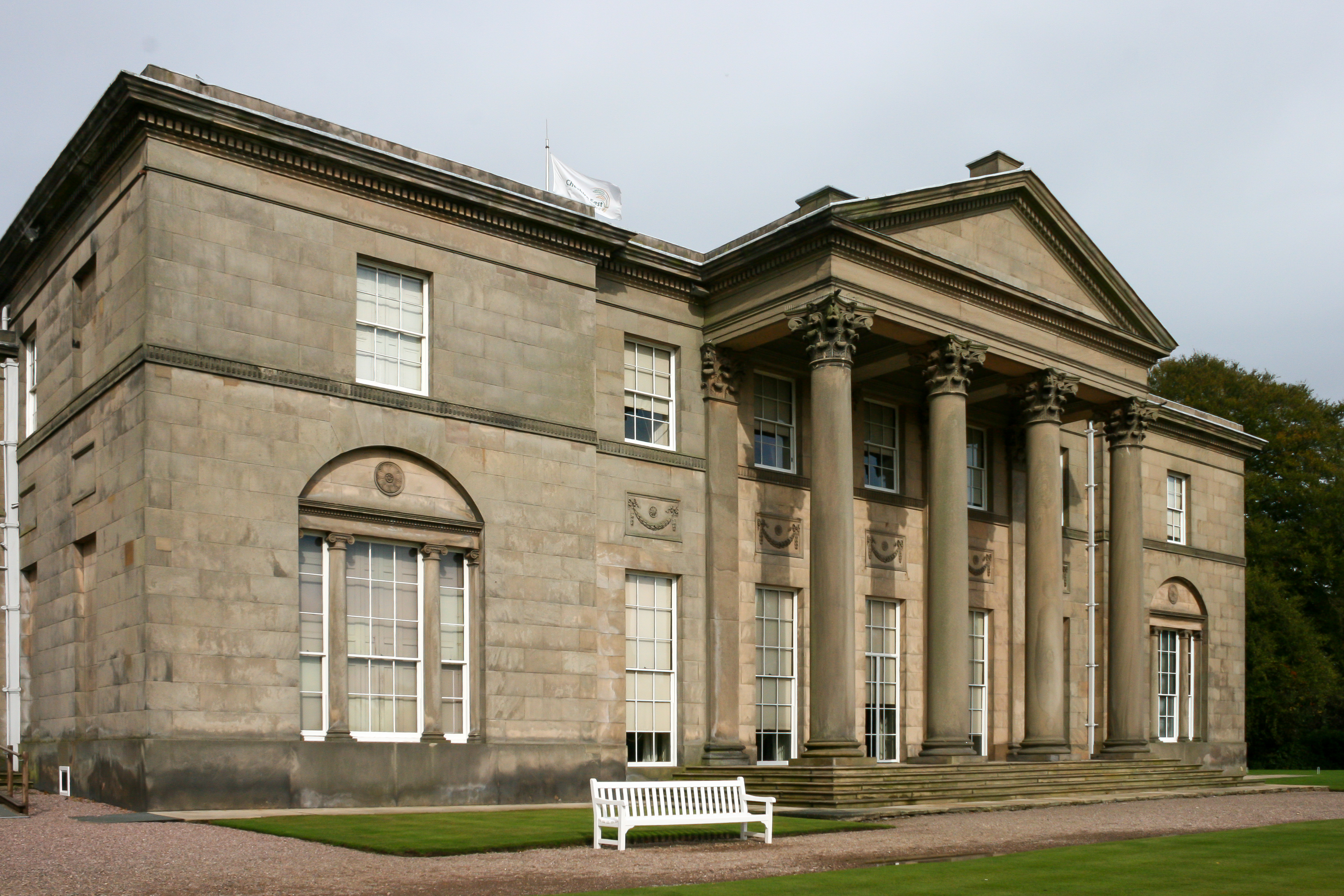
Tatton Hall

Tatton Hall is a country house in Tatton Park near Knutsford, Cheshire, England. It is designated as a Grade I listed building and is open to the public...
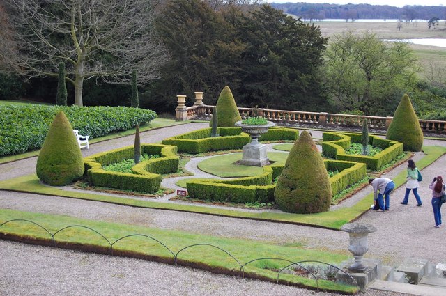
Tatton Park Gardens

Tatton Park Gardens consist of formal and informal gardens in Tatton Park to the south of Tatton Hall, Cheshire, England (grid reference SJ744814). Included...

Tatton Park

Tatton Park is a historic estate in Cheshire, England, north of the town of Knutsford. It contains a mansion, Tatton Hall; a medieval manor house, Tatton...

Tatton Park Flower Show

RHS Flower Show Tatton Park held at Tatton Park, near Knutsford, Cheshire, first began in 1999 by the Royal Horticultural Society. The show houses the...

Egerton F.C.

Egerton Football Club is a football club based in Knutsford, Cheshire, England. They are currently members of the Cheshire League Premier Division and...

Tatton (UK Parliament constituency)

Tatton is a constituency in Cheshire represented in the House of Commons of the UK Parliament since 2017 by Esther McVey, a Conservative. == Constituency... ==

Nearby Amenities

Located within 500m of 53.325823,-2.3722699
Parking
Old Hall Car Park
Lat/Long: 53.3269509/-2.370647
Parking
Lat/Long: 53.3249998/-2.3715313
Barrier: cattle_grid
Bicycle: yes
Foot: yes
Motorcar: yes
Motorcycle: yes
Lat/Long: 53.3241567/-2.3724962
Parking
Lat/Long: 53.3250562/-2.3691823
Bus Stop
Tatton Park, Knutsford Drive / Old Hall
Bus: yes
Naptan AtcoCode: 0600MA6162
Naptan Bearing: S
Naptan CommonName: Old Hall
Naptan Indicator: nr
Naptan Landmark: Crow Wood
Naptan LocalityName: Tatton Park
Naptan NaptanCode: cheptmp
Naptan ShortCommonName: Old Hall
Naptan Street: Knutsford Drive
Naptan Verified: no
Network: Cheshire East Council
Operator: Ansa Transport
Public Transport: platform
Source: naptan_import
Lat/Long: 53.3250254/-2.3714872
Toilets
Lat/Long: 53.3255083/-2.3692288
The Allen Hide
Leisure: bird_hide
Lat/Long: 53.3259298/-2.3737075
The data included in this document is from www.openstreetmap.org. The data is made available under ODbL.

Have you been to Crow Wood?

Leave your review of Crow Wood below (or comments, questions and feedback).