Birch House Rough
Wood, Forest in Staffordshire Newcastle-under-Lyme
England
Birch House Rough
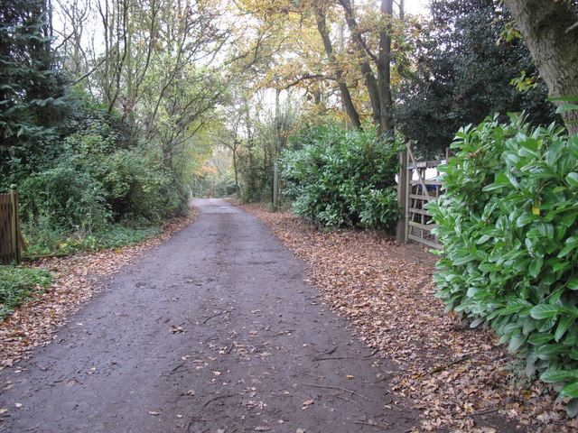
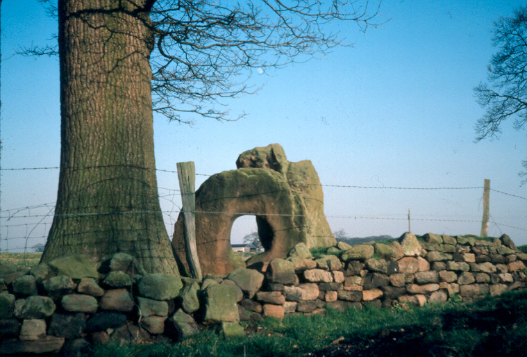
Birch House Rough is a picturesque woodland area situated in Staffordshire, England. Covering an expansive area of lush greenery and towering trees, it is a haven for nature enthusiasts and those seeking tranquility amidst the beauty of the outdoors. The rough is specifically named after the abundance of birch trees that inhabit the area, lending a unique charm to the landscape.
The woodland is well-known for its diverse flora and fauna, providing a rich ecosystem for a variety of species. The forest floor is carpeted with a vibrant tapestry of wildflowers, while ancient oaks, beeches, and sycamores dominate the canopy, creating a majestic and serene ambiance. The rustling of leaves in the gentle breeze and the melodious chirping of birds add to the sensory experience of being in Birch House Rough.
Visitors can explore the forest through a network of well-maintained trails, allowing them to immerse themselves in the natural beauty that surrounds them. Wildlife enthusiasts will be delighted to encounter a range of animals, including deer, foxes, and a plethora of bird species that call the woodland their home.
Birch House Rough offers a peaceful retreat from the hustle and bustle of urban life, where individuals can reconnect with nature and enjoy the simple pleasures it offers. Whether it is a leisurely stroll, a picnic amidst the trees, or simply basking in the tranquility, this forest provides a much-needed respite for those seeking solace in the great outdoors.
If you have any feedback on the listing, please let us know in the comments section below.
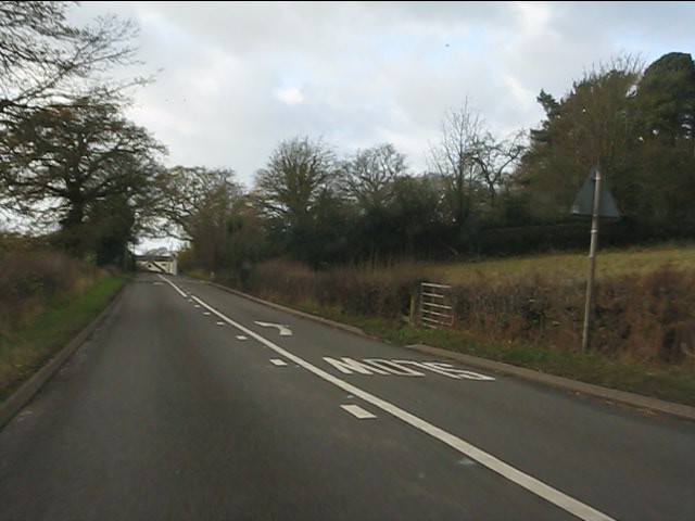
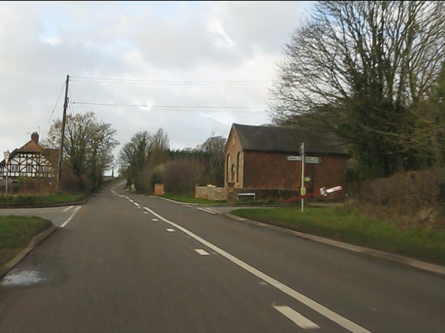
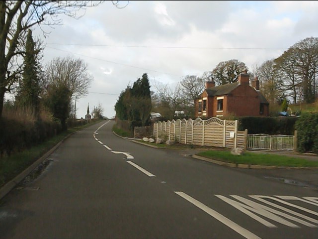
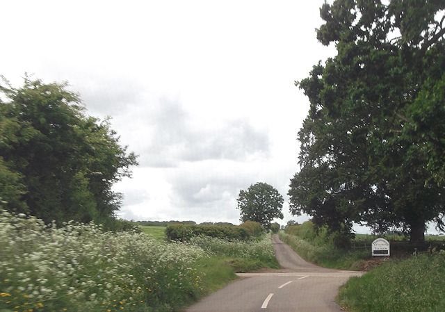
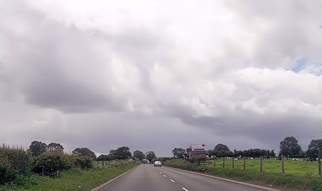
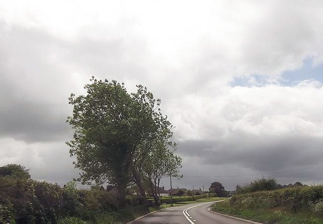
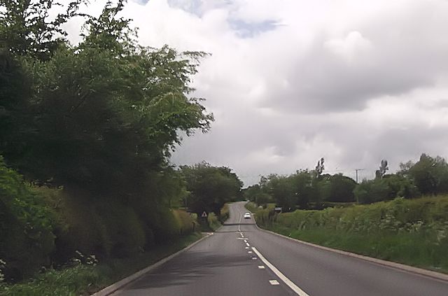
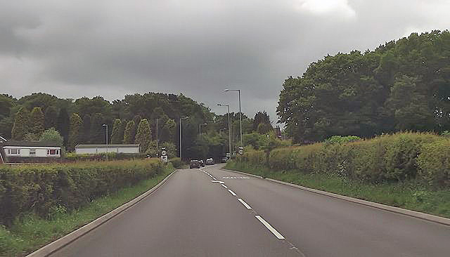
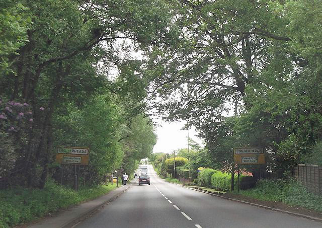
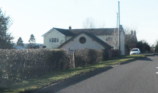
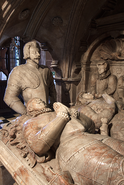
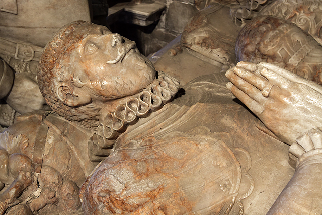
Birch House Rough Images
Images are sourced within 2km of 52.935638/-2.3689106 or Grid Reference SJ7537. Thanks to Geograph Open Source API. All images are credited.


Birch House Rough is located at Grid Ref: SJ7537 (Lat: 52.935638, Lng: -2.3689106)
Administrative County: Staffordshire
District: Newcastle-under-Lyme
Police Authority: Staffordshire
What 3 Words
///rafters.pats.dart. Near Standon, Staffordshire
Nearby Locations
Related Wikis

Ashley, Staffordshire
Ashley is a village and former civil parish, now in the parish of Loggerheads, in the Newcastle-under-Lyme district, in the county of Staffordshire, England...

Loggerheads, Staffordshire
Loggerheads is a village and civil parish in north-west Staffordshire, England, on the A53 between Market Drayton and Newcastle-under-Lyme. == Name... ==
Mucklestone
Mucklestone is a village and former civil parish, now in the parish of Loggerheads, in the Newcastle-under-Lyme district, in the county of Staffordshire...
Newcastle-under-Lyme Rural District
Newcastle-under-Lyme Rural District was a rural district in the county of Staffordshire. It was formed in 1894 with the civil parishes of Ashley, Audley...
Knighton, Newcastle-under-Lyme
Knighton is a hamlet in north west Staffordshire, England, located in the Borough of Newcastle-under-Lyme. It is surrounded to the west, north and east...
Maer, Staffordshire
Maer is a rural village and civil parish in the Borough of Newcastle-under-Lyme, Staffordshire, England, to the west of the pottery manufacturing town...
Bearstone
Bearstone is a hamlet in Shropshire, England. For population details as taken at the 2011 census see Woore (Shropshire).

Pipe Gate railway station
Pipe Gate was a railway station on the North Staffordshire Railway's Stoke to Market Drayton Line. == Construction == Construction was started on the Newcastle...
Have you been to Birch House Rough?
Leave your review of Birch House Rough below (or comments, questions and feedback).