Lordsley

Settlement in Staffordshire Newcastle-under-Lyme

England

Lordsley

Ashley Heath Park at end of Tower Road on grey dry morning. Top on road beside house called Whinberry whose owner wondered what I was doing with my camera and GPS.
Name: Ashley Heath
Hill number: 5391
Height: 236m / 774ft
Area: 36: Lancashire, Cheshire & the Southern Pennines
Class: Hu
Grid ref: SJ745357 (est)
Drop: 119m
Col: 117m  SJ792406
Ashley Heath Credit: Rude Health

Lordsley is a small village located in the county of Staffordshire, England. Situated approximately 6 miles north of the town of Stafford, Lordsley is nestled in the picturesque countryside, offering its residents a peaceful and rural setting.

The village is characterized by its charming cottages and historic buildings, which give it a distinct character and charm. The local community is close-knit and friendly, with a population of around 500 people. The village is known for its strong sense of community spirit, with various community events and activities organized throughout the year.

Lordsley is surrounded by beautiful countryside, making it an ideal location for outdoor enthusiasts. There are numerous walking and cycling trails in the area, providing opportunities to explore the stunning natural scenery. The village is also close to several nature reserves, offering a chance to spot local wildlife.

Despite its small size, Lordsley has a few amenities to cater to the needs of its residents. These include a village hall, a small convenience store, and a traditional pub serving local food and drink. For more extensive shopping and entertainment options, the nearby town of Stafford provides a wider range of facilities.

Lordsley is well-connected by road, with easy access to the A34 and A518, allowing residents to reach nearby towns and cities with ease. The village also benefits from regular bus services, providing convenient transportation links to the surrounding areas.

Overall, Lordsley offers a tranquil and idyllic setting for those seeking a peaceful village lifestyle, while still being within easy reach of larger towns and cities.

If you have any feedback on the listing, please let us know in the comments section below.
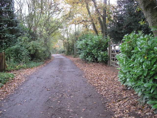
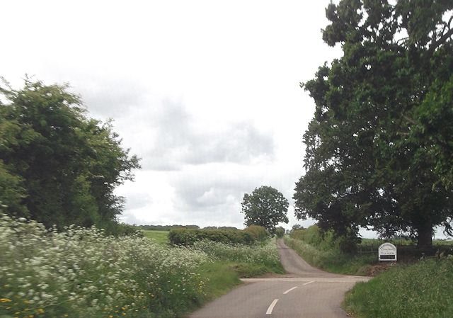
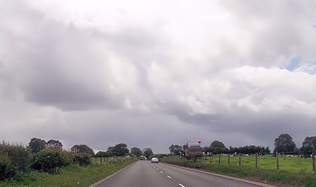
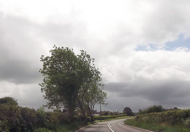
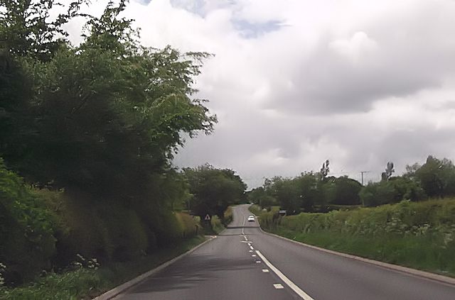
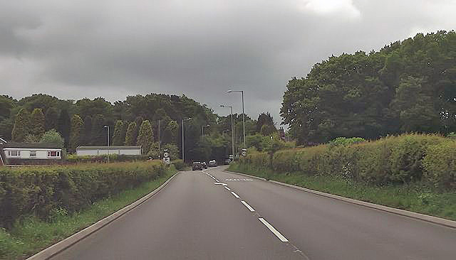
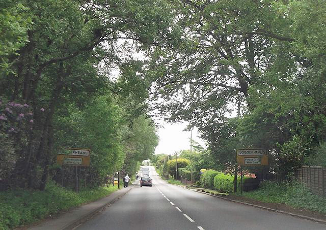
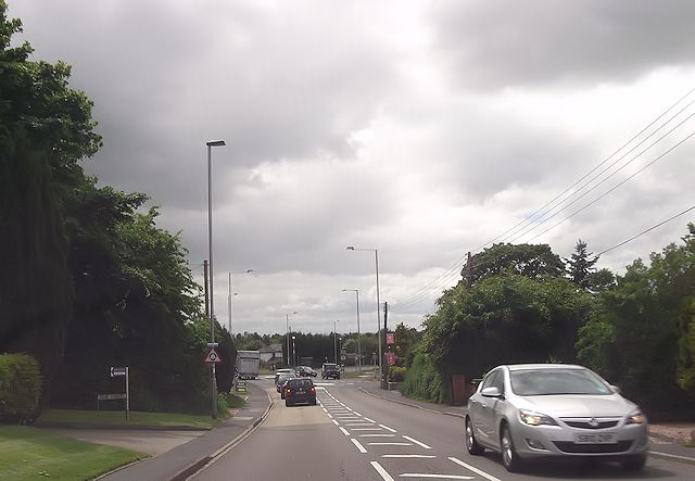
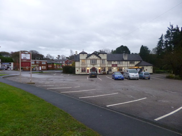
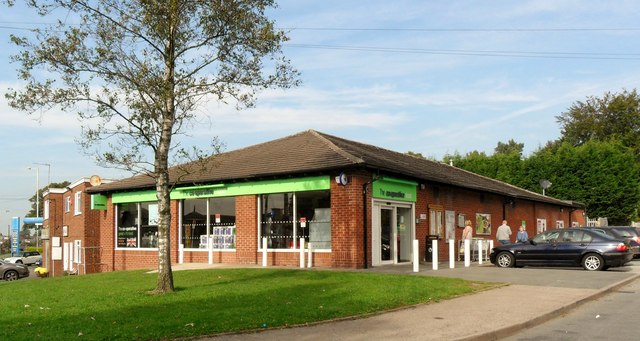
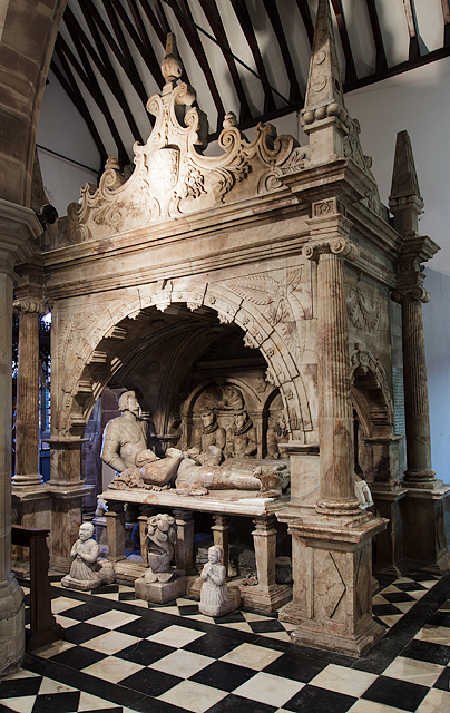
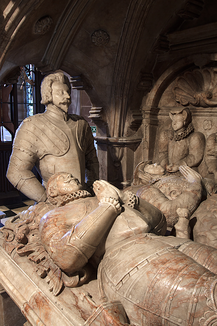
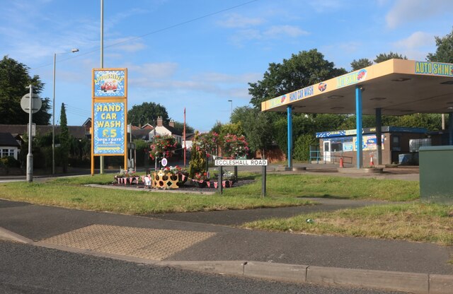
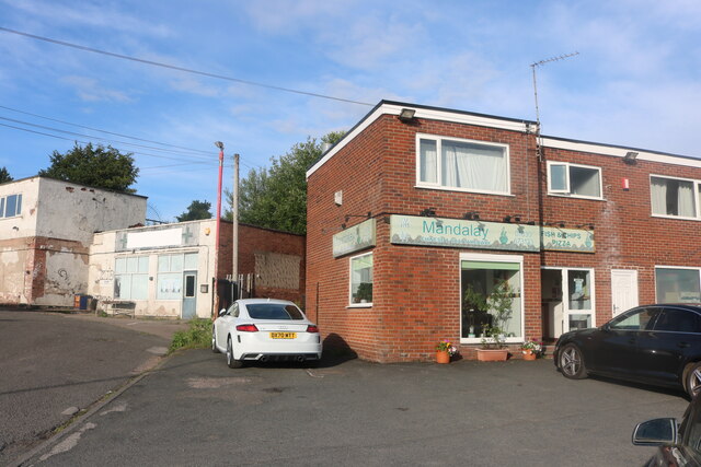
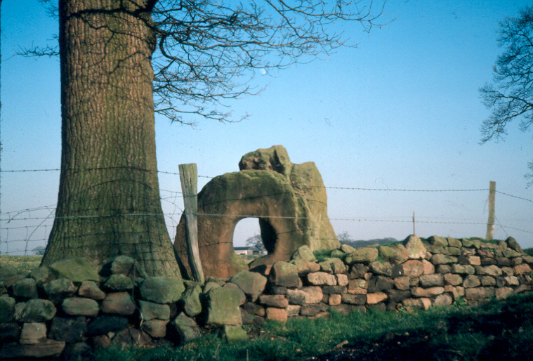
Lordsley Images

Images are sourced within 2km of 52.932055/-2.3707546 or Grid Reference SJ7537. Thanks to Geograph Open Source API. All images are credited.

Ashley Heath Park at end of Tower Road on grey dry morning. Top on road beside house called Whinberry whose owner wondered what I was doing with my camera and GPS.
Name: Ashley Heath
Hill number: 5391
Height: 236m / 774ft
Area: 36: Lancashire, Cheshire & the Southern Pennines
Class: Hu
Grid ref: SJ745357 (est)
Drop: 119m
Col: 117m  SJ792406
Ashley Heath
Park at end of Tower Road on grey dry morning. Top on road beside house called Whinberry whose owner wondered what I was doing with my camera and GPS. Name: Ashley Heath Hill number: 5391 Height: 236m / 774ft Area: 36: Lancashire, Cheshire & the Southern Pennines Class: Hu Grid ref: SJ745357 (est) Drop: 119m Col: 117m SJ792406
Crossroads outside Hungersheath Farm
Hungersheath Farm shop and cafe entrance
Long straight on Newcastle Road near Castle Hill
Bend on A53 approaching Park Lane junction
A53 approaching School Lane junction
A53 approaching Ashley Heath
A53 at Loggerheads
A53 at Loggerheads
Loggerheads roundabout from A53
Loggerheads, The Loggerheads Brewer's Tudor-style pub on A53; of the accessible area, back bar, with drinking area front and right; wooden beams, Artex plasterwork, some exposed stonework; dining at the back. Cask ales on offer at my visit: Greene King Abbot, Wells Bombardier & Good Stuffing.
Loggerheads, The Loggerheads
Brewer's Tudor-style pub on A53; of the accessible area, back bar, with drinking area front and right; wooden beams, Artex plasterwork, some exposed stonework; dining at the back. Cask ales on offer at my visit: Greene King Abbot, Wells Bombardier & Good Stuffing.
Co-Operative store, Loggerheads
St John the Baptist Church, Ashley - monument to Sir Gilbert Gerard A very large monument to Sir Gilbert Gerard (†1592) and his wife (†1608). They are accompanied by two sons and six daughters.

<a href="https://www.geograph.org.uk/photo/4461166">SJ7636 : St John the Baptist Church, Ashley - monument to Sir Gilbert Gerard - detail (1)</a>
St John the Baptist Church, Ashley - monument to Sir Gilbert Gerard
A very large monument to Sir Gilbert Gerard (†1592) and his wife (†1608). They are accompanied by two sons and six daughters. SJ7636 : St John the Baptist Church, Ashley - monument to Sir Gilbert Gerard - detail (1)
St John the Baptist Church, Ashley - monument to Sir Gilbert Gerard - detail (1) Sir Gilbert Gerard (†1592) and his wife.

<a href="https://www.geograph.org.uk/photo/4461171">SJ7636 : St John the Baptist Church, Ashley - monument to Sir Gilbert Gerard - detail (2)</a>
St John the Baptist Church, Ashley - monument to Sir Gilbert Gerard - detail (1)
St John the Baptist Church, Ashley - monument to Sir Gilbert Gerard - detail (2) Sir Gilbert Gerard (†1592).
St John the Baptist Church, Ashley - monument to Sir Gilbert Gerard - detail (2)
Sir Gilbert Gerard (†1592).
St John the Baptist Church, Ashley View of the chancel with its painted ceiling and reredos.
St John the Baptist Church, Ashley
View of the chancel with its painted ceiling and reredos.
St John the Baptist Church, Ashley It has an early C17 tower, whilst the rest belongs to a restoration of 1861-62 by J. Ashdown of London.

<a href="https://www.geograph.org.uk/photo/4461175">SJ7636 : St John the Baptist Church, Ashley</a>
St John the Baptist Church, Ashley
It has an early C17 tower, whilst the rest belongs to a restoration of 1861-62 by J. Ashdown of London. SJ7636 : St John the Baptist Church, Ashley
Eccleshall Road at the corner of Newcastle Road
Mandalay Chinese and Thai Takeaway, Loggerheads Mandalay's in Burma. Go figure.
Mandalay Chinese and Thai Takeaway, Loggerheads
Mandalay's in Burma. Go figure.
Show me another place!

Lordsley is located at Grid Ref: SJ7537 (Lat: 52.932055, Lng: -2.3707546)

Administrative County: Staffordshire

District: Newcastle-under-Lyme

Police Authority: Staffordshire

What 3 Words

///toasted.marshes.compiler. Near Standon, Staffordshire

Nearby Locations

Birch House Rough Lordsley

Related Wikis

Ashley, Staffordshire

Ashley is a village and former civil parish, now in the parish of Loggerheads, in the Newcastle-under-Lyme district, in the county of Staffordshire, England...

Loggerheads, Staffordshire

Loggerheads is a village and civil parish in north-west Staffordshire, England, on the A53 between Market Drayton and Newcastle-under-Lyme. == Name... ==

Mucklestone

Mucklestone is a village and former civil parish, now in the parish of Loggerheads, in the Newcastle-under-Lyme district, in the county of Staffordshire...

Knighton, Newcastle-under-Lyme

Knighton is a hamlet in north west Staffordshire, England, located in the Borough of Newcastle-under-Lyme. It is surrounded to the west, north and east...

Nearby Amenities

Located within 500m of 52.932055,-2.3707546
Source: Bing
Lat/Long: 52.929838/-2.3647331
Source: Bing
Lat/Long: 52.9297886/-2.3648873
Source: Bing
Lat/Long: 52.9296868/-2.3647977
Source: Bing
Lat/Long: 52.9297361/-2.3646435
Source: Bing
Lat/Long: 52.9298138/-2.3643817
Source: Bing
Lat/Long: 52.9298683/-2.3643351
Barrier: stile
Lat/Long: 52.9307204/-2.3775356
The data included in this document is from www.openstreetmap.org. The data is made available under ODbL.

Have you been to Lordsley?

Leave your review of Lordsley below (or comments, questions and feedback).