Saddleback Plantations
Wood, Forest in Cheshire
England
Saddleback Plantations
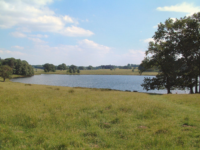
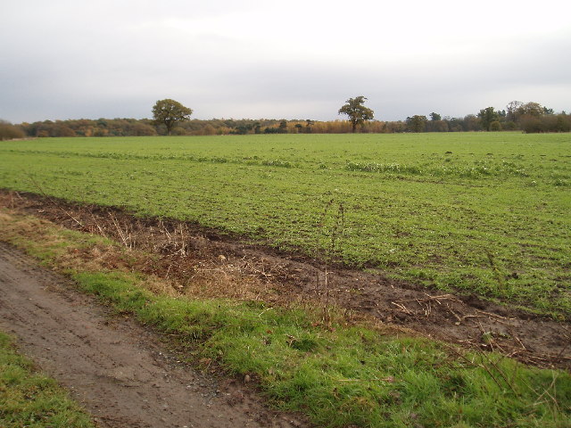
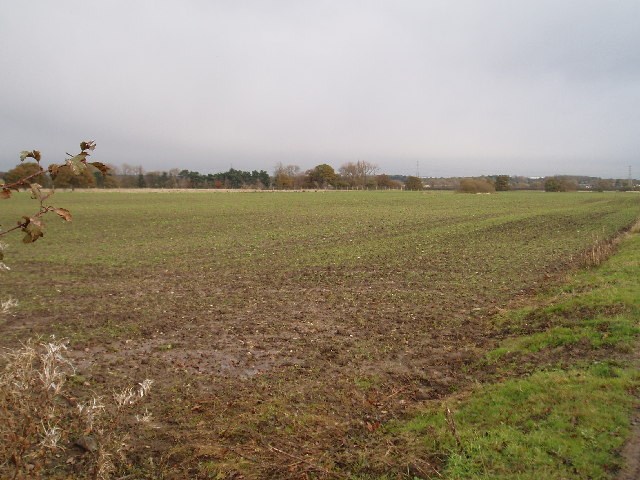
Saddleback Plantations is a picturesque and expansive woodland located in Cheshire, England. Situated in the heart of the county, the plantation covers a vast area of lush greenery, offering a tranquil and serene escape from the bustling city life.
The plantation is predominantly made up of a variety of trees, with a notable presence of oak, beech, and birch trees. These towering trees create a dense canopy that provides shade and a sense of seclusion, making it an ideal destination for nature enthusiasts and hikers. The forest floor is covered with a carpet of moss, ferns, and wildflowers, adding to the enchanting atmosphere of the plantation.
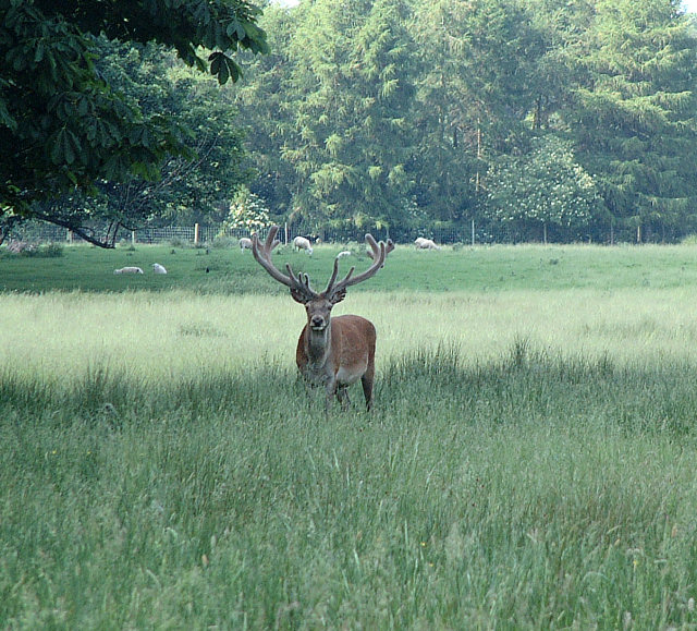
Saddleback Plantations is also home to a diverse range of wildlife. Visitors may have the opportunity to spot various bird species, including woodpeckers, owls, and songbirds. The woodland also attracts an array of mammals, such as deer, foxes, and rabbits. Nature enthusiasts can explore the plantation's trails and observe these animals in their natural habitats.
The plantation offers a range of recreational activities for visitors to enjoy. There are well-maintained walking and cycling trails that wind through the woodland, providing ample opportunities for exercise and exploration. Additionally, the plantation features picnic areas, allowing visitors to relax and enjoy a meal amidst the stunning natural surroundings.
Saddleback Plantations is a cherished natural gem in Cheshire, offering a peaceful retreat for individuals seeking solace in nature. With its diverse flora and fauna, well-maintained trails, and serene atmosphere, it is a destination that promises a memorable experience for all who visit.
If you have any feedback on the listing, please let us know in the comments section below.
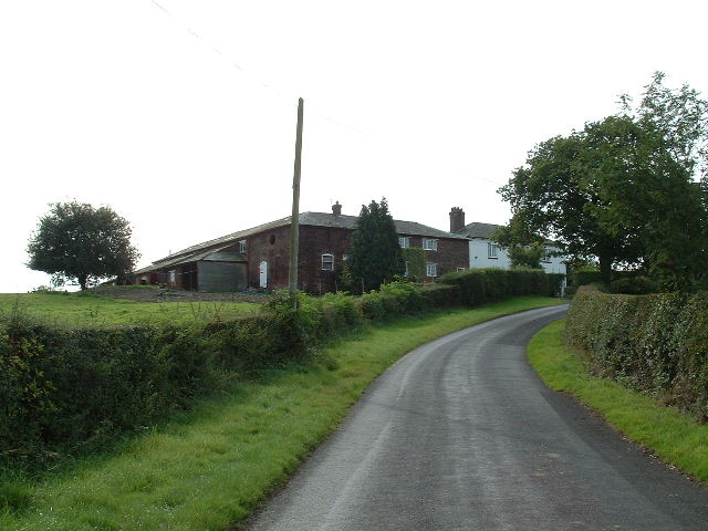
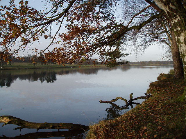
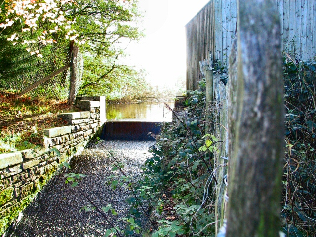
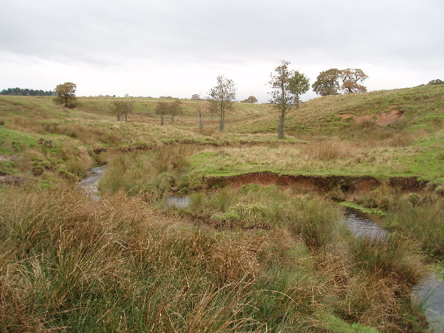
Saddleback Plantations Images
Images are sourced within 2km of 53.334259/-2.376518 or Grid Reference SJ7581. Thanks to Geograph Open Source API. All images are credited.


Saddleback Plantations is located at Grid Ref: SJ7581 (Lat: 53.334259, Lng: -2.376518)
Unitary Authority: Cheshire East
Police Authority: Cheshire
What 3 Words
///latter.thrusters.costs. Near Mere, Cheshire
Nearby Locations
Related Wikis

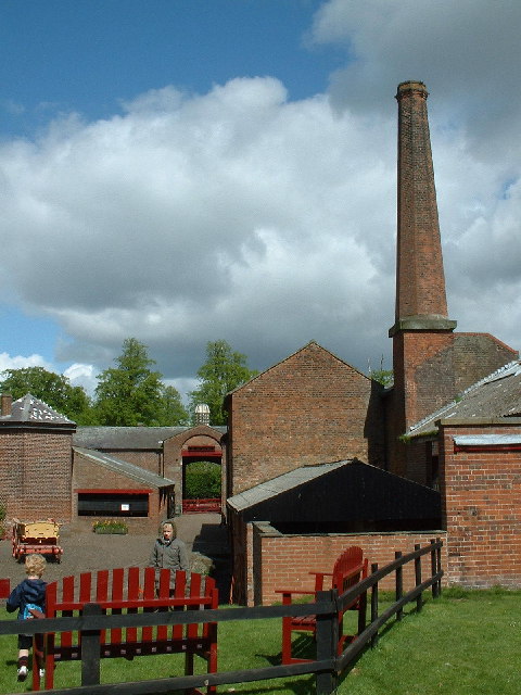
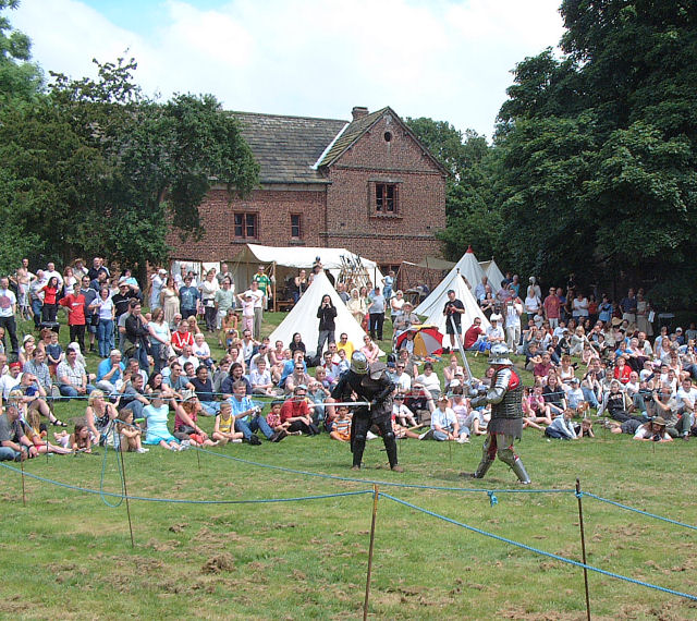
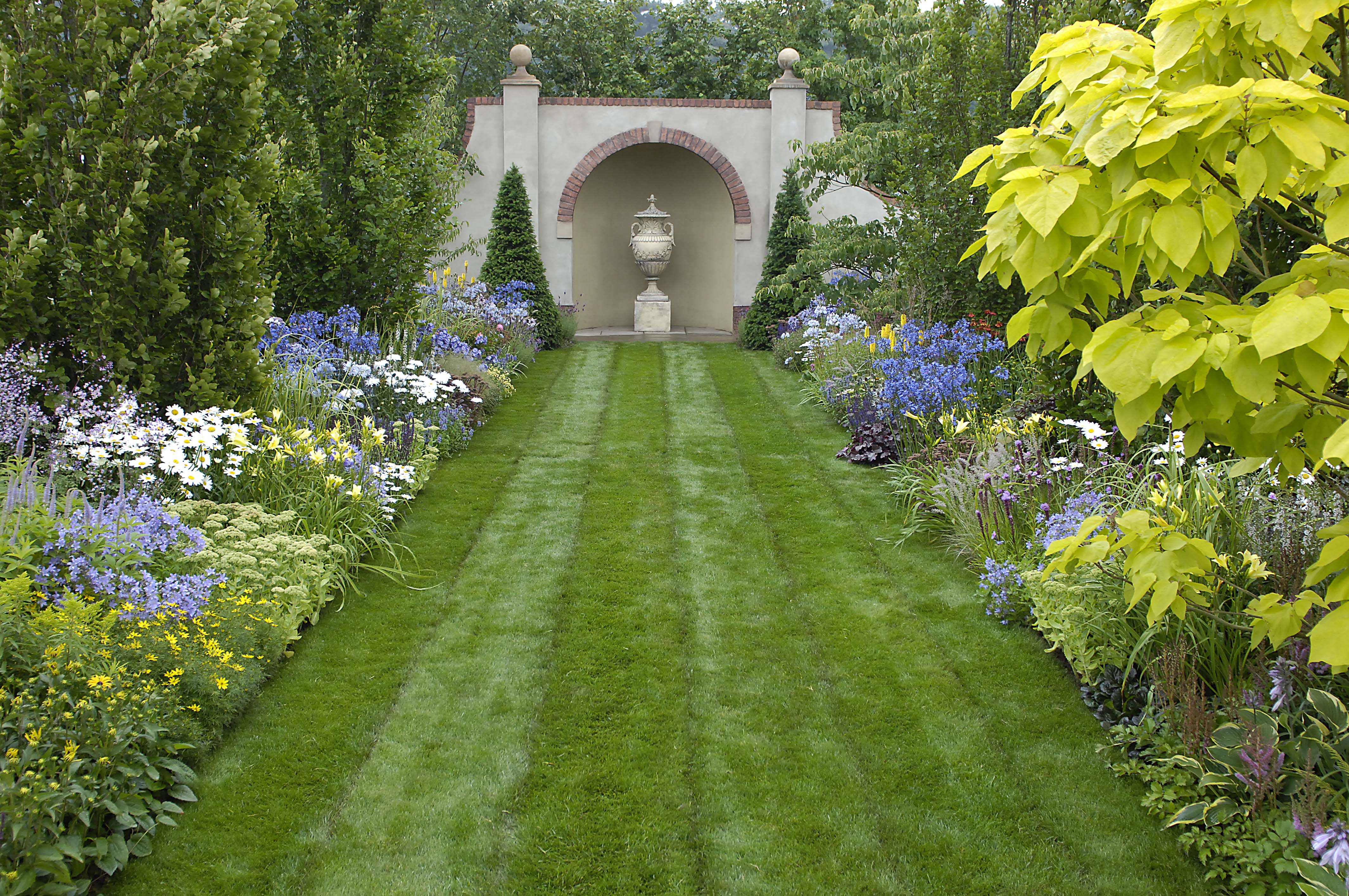
Tatton Park
Tatton Park is a historic estate in Cheshire, England, north of the town of Knutsford. It contains a mansion, Tatton Hall; a medieval manor house, Tatton...
Tatton Park Flower Show
RHS Flower Show Tatton Park held at Tatton Park, near Knutsford, Cheshire, first began in 1999 by the Royal Horticultural Society. The show houses the...
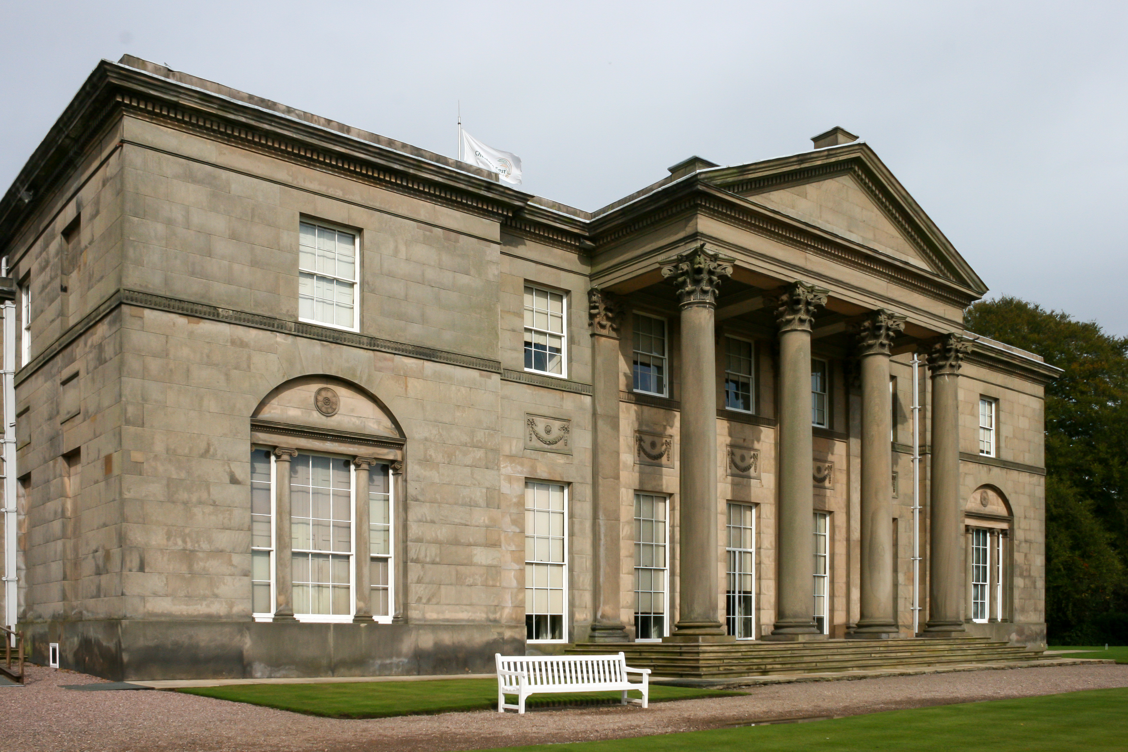
Tatton Hall
Tatton Hall is a country house in Tatton Park near Knutsford, Cheshire, England. It is designated as a Grade I listed building and is open to the public...
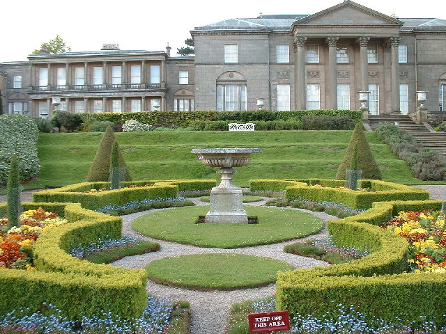
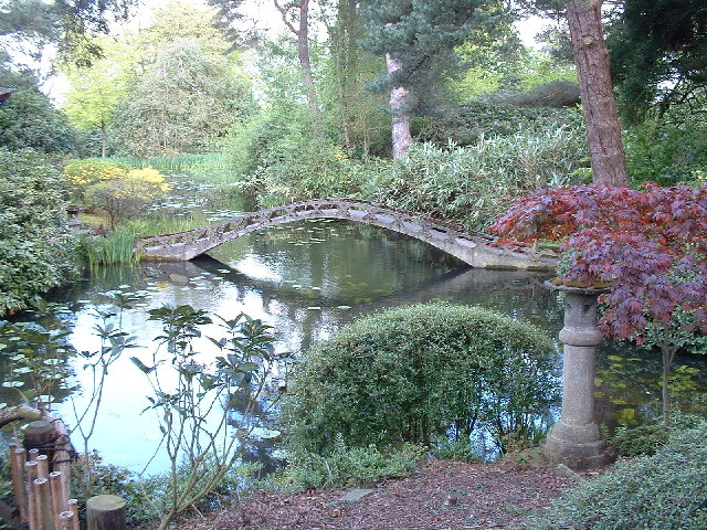
Tatton Park Gardens
Tatton Park Gardens consist of formal and informal gardens in Tatton Park to the south of Tatton Hall, Cheshire, England (grid reference SJ744814). Included...
Nearby Amenities
Located within 500m of 53.334259,-2.376518Have you been to Saddleback Plantations?
Leave your review of Saddleback Plantations below (or comments, questions and feedback).