Twinhoeford Wood

Wood, Forest in Somerset

England

Twinhoeford Wood

Gate on NCN24 Two Tunnels Greenway near Wellow The second of four swing gates on the NCN24 heading from Wellow to the Two Tunnels.  Springs on some of the gates are very stiff, especially on the first gate off Ford Road in Wellow.
Path here is compacted gravel in generally good condition, with a few potholes, and muddy/rutted patches in wet weather.  The path changes to tarmac past Midford.
Gate on NCN24 Two Tunnels Greenway near Wellow Credit: Kevin Pearson

Twinhoeford Wood is a charming woodland area located in Somerset, England. Covering an area of approximately 100 hectares, this forest is a haven for nature enthusiasts and those seeking tranquility in the heart of the countryside.

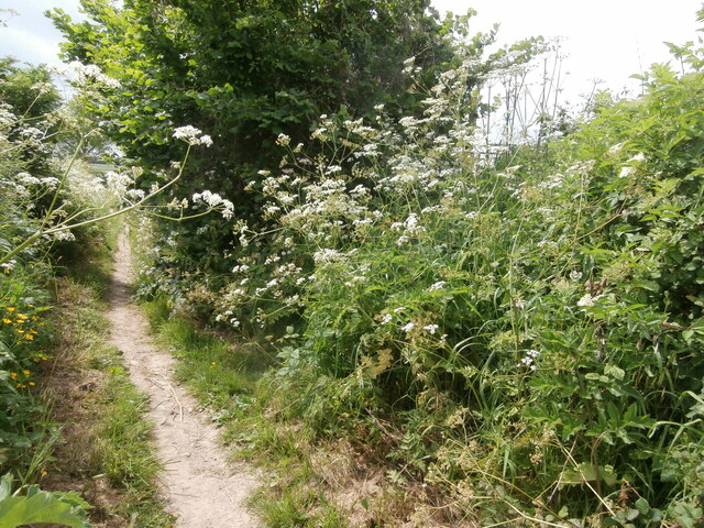
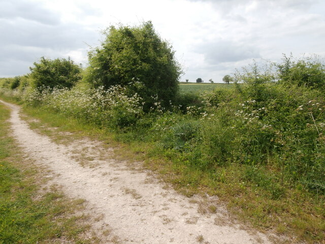
The wood is primarily composed of deciduous trees, including oak, ash, and beech, which create a stunning canopy during the spring and summer months. The forest floor is carpeted with a variety of wildflowers, including bluebells, primroses, and violets, adding bursts of color to the landscape.

Twinhoeford Wood is home to an array of wildlife, making it a popular spot for birdwatchers and animal lovers. Visitors may catch glimpses of woodland birds such as woodpeckers, tits, and finches, as well as mammals such as deer, foxes, and badgers.

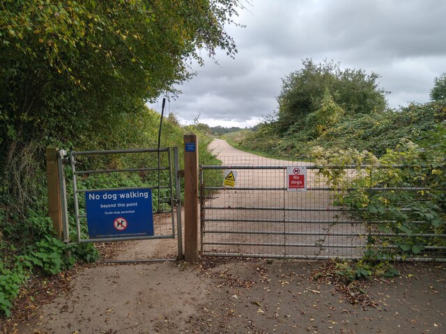
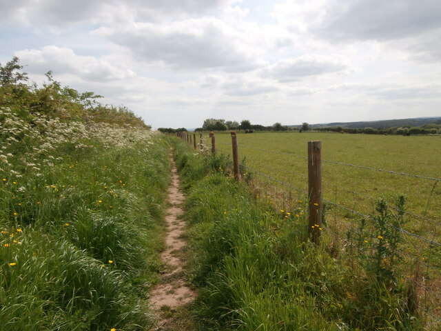
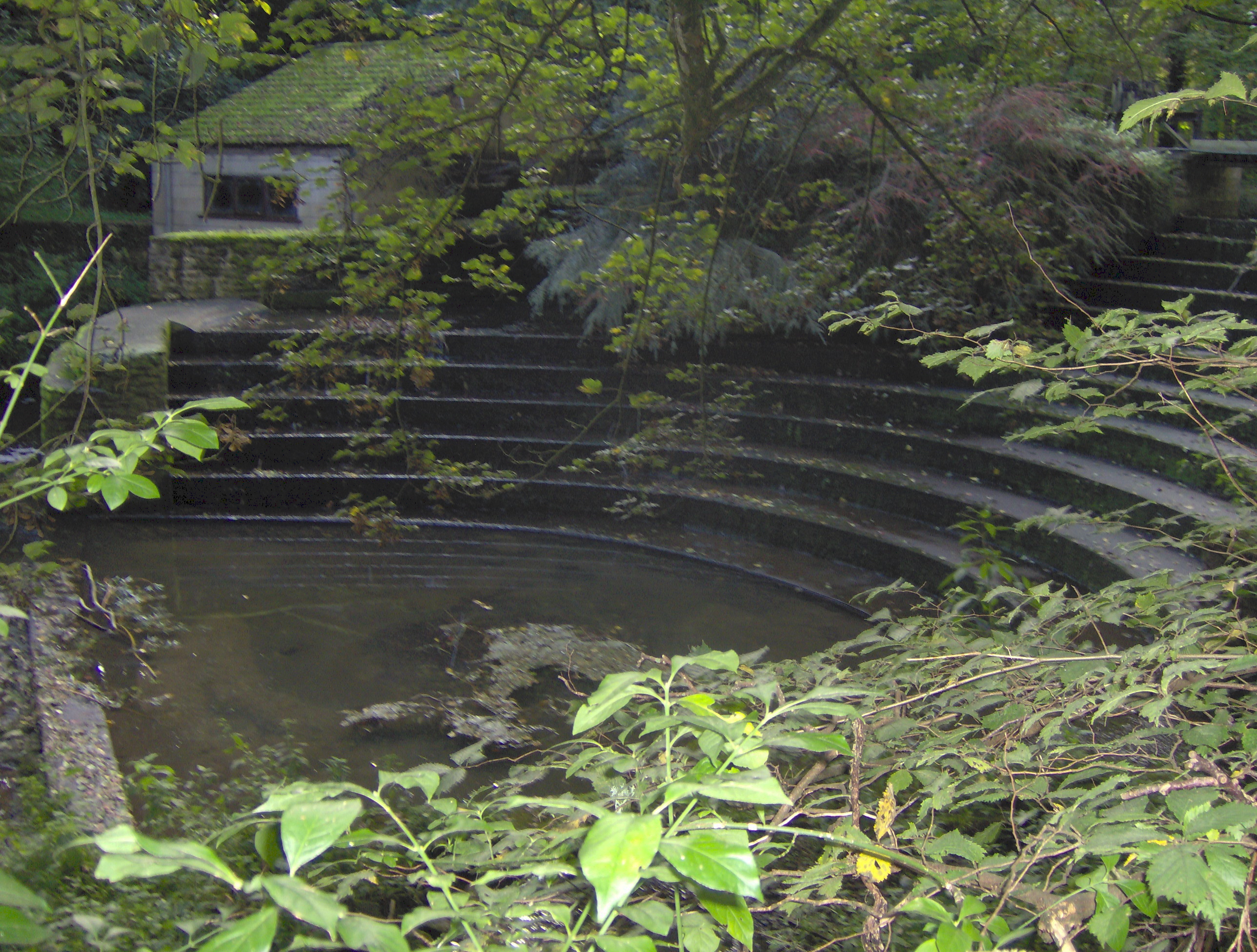
There are several well-marked walking trails throughout the wood, allowing visitors to explore its beauty at their own pace. These paths wind through the trees, over babbling brooks, and past picturesque ponds. There are also picnic areas and benches scattered throughout the wood, providing the perfect opportunity to relax and enjoy a peaceful moment in nature.

The wood is managed by the local council, ensuring its preservation for future generations. The area is also protected as a Site of Special Scientific Interest (SSSI), due to its rich biodiversity and natural beauty.

Twinhoeford Wood truly offers a tranquil escape from the hustle and bustle of everyday life, providing a serene setting for nature lovers to immerse themselves in the beauty of the natural world.

If you have any feedback on the listing, please let us know in the comments section below.

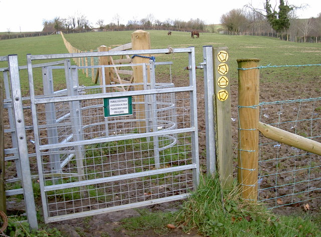
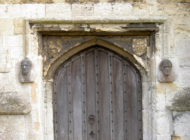
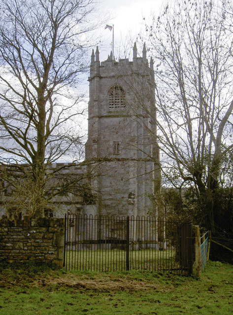
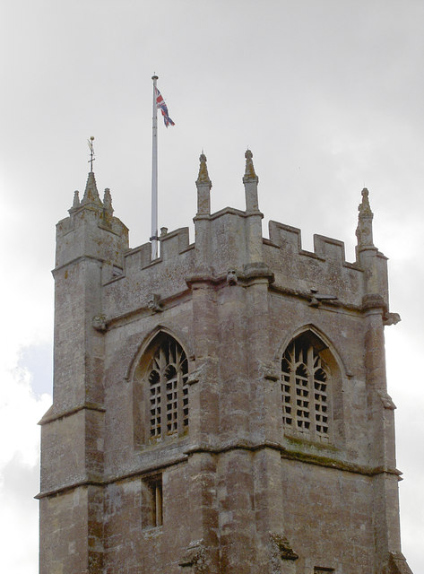
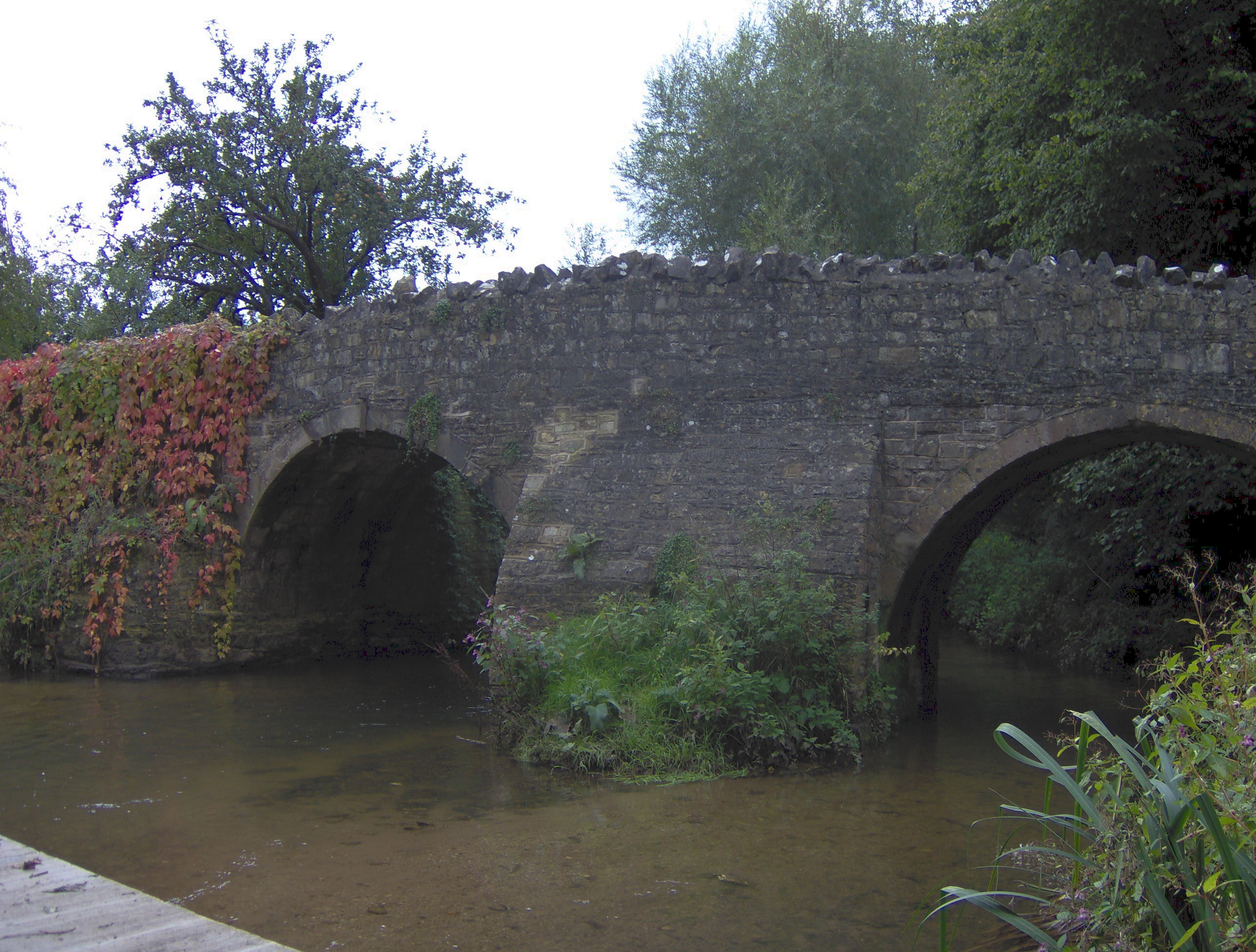
Twinhoeford Wood Images

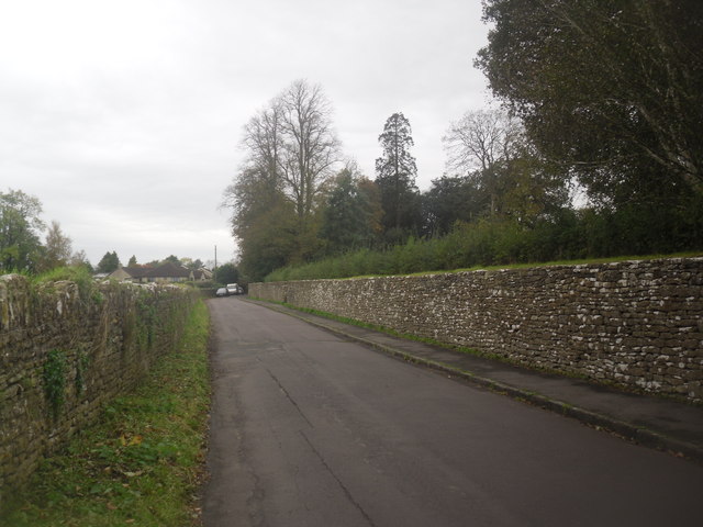
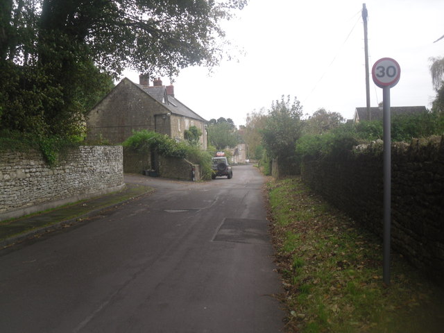
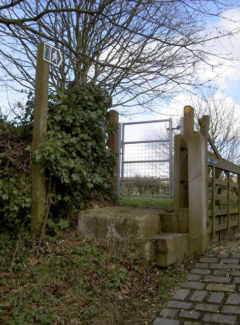
Images are sourced within 2km of 51.330328/-2.3470478 or Grid Reference ST7559. Thanks to Geograph Open Source API. All images are credited.

Gate on NCN24 Two Tunnels Greenway near Wellow The second of four swing gates on the NCN24 heading from Wellow to the Two Tunnels.  Springs on some of the gates are very stiff, especially on the first gate off Ford Road in Wellow.
Path here is compacted gravel in generally good condition, with a few potholes, and muddy/rutted patches in wet weather.  The path changes to tarmac past Midford.
Gate on NCN24 Two Tunnels Greenway near Wellow
The second of four swing gates on the NCN24 heading from Wellow to the Two Tunnels. Springs on some of the gates are very stiff, especially on the first gate off Ford Road in Wellow. Path here is compacted gravel in generally good condition, with a few potholes, and muddy/rutted patches in wet weather. The path changes to tarmac past Midford.
Pavilion, Hinton Charterhouse CC The new pavilion of Hinton Charterhouse Cricket Club <span class="nowrap"><a title="https://hccc.play-cricket.com/home" rel="nofollow ugc noopener" href="https://hccc.play-cricket.com/home">Link</a><img style="margin-left:2px;" alt="External link" title="External link - shift click to open in new window" src="https://s1.geograph.org.uk/img/external.png" width="10" height="10"/></span> , used for the first time in the 2023 season.  The spacious pavilion includes a bar, an indoor area for cricket teas, an open-sided but covered area for the scorer and other spectators to sit, and an electronic scoreboard which allows the par score according to the Duckworth-Lewis-Stern system to be displayed. The ground is on private land belonging to Hinton House.  A match is about to begin between Hinton Charterhouse CC Veterans XI and the Somerset Allsorts <span class="nowrap"><a title="https://hccc.play-cricket.com/match_details?id=5525607" rel="nofollow ugc noopener" href="https://hccc.play-cricket.com/match_details?id=5525607">Link</a><img style="margin-left:2px;" alt="External link" title="External link - shift click to open in new window" src="https://s1.geograph.org.uk/img/external.png" width="10" height="10"/></span> .
Pavilion, Hinton Charterhouse CC
The new pavilion of Hinton Charterhouse Cricket Club LinkExternal link , used for the first time in the 2023 season. The spacious pavilion includes a bar, an indoor area for cricket teas, an open-sided but covered area for the scorer and other spectators to sit, and an electronic scoreboard which allows the par score according to the Duckworth-Lewis-Stern system to be displayed. The ground is on private land belonging to Hinton House. A match is about to begin between Hinton Charterhouse CC Veterans XI and the Somerset Allsorts LinkExternal link .
Path towards Norton Barn A network of footpaths extends from the west of the village of Hinton Charterhouse, in varying states of upkeep.  This one is carefully fenced off from the adjacent field containing cattle and well trodden, though a little further on it becomes far less passable.
Path towards Norton Barn
A network of footpaths extends from the west of the village of Hinton Charterhouse, in varying states of upkeep. This one is carefully fenced off from the adjacent field containing cattle and well trodden, though a little further on it becomes far less passable.
A junction of two footpaths Barely visible in the hedge is a kissing gate which is where another footpath - in theory - branches off towards Wellow Lane from the well-marked one from the west side of Hinton Charterhouse across Hinton Farm.
A junction of two footpaths
Barely visible in the hedge is a kissing gate which is where another footpath - in theory - branches off towards Wellow Lane from the well-marked one from the west side of Hinton Charterhouse across Hinton Farm.
Maize field, Hinton Farm This bridleway heading towards Cleaves Wood crosses Hinton Farm <span class="nowrap"><a title="https://www.bigbarn.co.uk/producer/hinton-charterhouse/beeswax-dyson-farming-ltd-28496/" rel="nofollow ugc noopener" href="https://www.bigbarn.co.uk/producer/hinton-charterhouse/beeswax-dyson-farming-ltd-28496/">Link</a><img style="margin-left:2px;" alt="External link" title="External link - shift click to open in new window" src="https://s1.geograph.org.uk/img/external.png" width="10" height="10"/></span> which like much around Hinton Charterhouse is now connected to the Dyson family.  A field of maize can be glimpsed through the hedge.
Maize field, Hinton Farm
This bridleway heading towards Cleaves Wood crosses Hinton Farm LinkExternal link which like much around Hinton Charterhouse is now connected to the Dyson family. A field of maize can be glimpsed through the hedge.
Green Lane, Hinton Charterhouse A typical dull British day in October. Nothing special going on, however the road does somehow seem wider than it actually is in this photo.
Green Lane, Hinton Charterhouse
A typical dull British day in October. Nothing special going on, however the road does somehow seem wider than it actually is in this photo.
Green Lane, Hinton Charterhouse The leaves are taking a while to fall, as there was bad weather around the UK in March <a href="https://www.geograph.org.uk/photo/3395093">NX5956 : Gatehouse of Fleet in the snow</a>
Green Lane, Hinton Charterhouse
The leaves are taking a while to fall, as there was bad weather around the UK in March NX5956 : Gatehouse of Fleet in the snow
To the church A footpath leaves Farm Lane and heads over the field.
To the church
A footpath leaves Farm Lane and heads over the field.
Any which way you like A double gate allowing walkers to take a number of options. Just make sure you don't disturb the animals.
Any which way you like
A double gate allowing walkers to take a number of options. Just make sure you don't disturb the animals.
Have you seen this cat? He's gone off again. It's worth noting that Shoscombe is some 4km (2½miles) away.
Have you seen this cat?
He's gone off again. It's worth noting that Shoscombe is some 4km (2½miles) away.
Wrapped and bound A house, held in a tight grip.
Wrapped and bound
A house, held in a tight grip.
St Julian's mark A benchmark on the village church (as is often the case). See <a href="https://www.geograph.org.uk/photo/3862433">ST7458 : St Julian's tower</a> for a wider view of the tower and <span class="nowrap"><a title="http://www.bench-marks.org.uk/bm55004" rel="nofollow ugc noopener" href="http://www.bench-marks.org.uk/bm55004">Link</a><img style="margin-left:2px;" alt="External link" title="External link - shift click to open in new window" src="https://s1.geograph.org.uk/img/external.png" width="10" height="10"/></span> for the entry in the Benchmark Database.
St Julian's mark
A benchmark on the village church (as is often the case). See ST7458 : St Julian's tower for a wider view of the tower and LinkExternal link for the entry in the Benchmark Database.
St Julian's tower The church is at least fourteenth century, but the tower arrived a little later in around 1475. At the foot of the tower is a benchmark - see <a href="https://www.geograph.org.uk/photo/3862418">ST7458 : St Julian's mark</a>. Also, see <a href="https://www.geograph.org.uk/photo/3862439">ST7458 : West door of St Julian's</a> for a doorway.
St Julian's tower
The church is at least fourteenth century, but the tower arrived a little later in around 1475. At the foot of the tower is a benchmark - see ST7458 : St Julian's mark. Also, see ST7458 : West door of St Julian's for a doorway.
West door of St Julian's Some swarthy characters guard the entrance. See <a href="https://www.geograph.org.uk/photo/3862474">ST7458 : The Hospitaller</a> for another view of the church.
West door of St Julian's
Some swarthy characters guard the entrance. See ST7458 : The Hospitaller for another view of the church.
The Hospitaller St Julian's church is an old place of worship, with its history going back to the twelfth century and perhaps even to Roman times. Then, a villa was founded about a mile away and the dedication to Julian is likely to be associated. This figure above the south entrance is him, holding an oar. This carving is a fairly recent addition, being made by Wellow craftsman Gilbert Sumpsion.

See <a href="https://www.geograph.org.uk/photo/3862492">ST7458 : A proper flock</a> for a look southwards.
The Hospitaller
St Julian's church is an old place of worship, with its history going back to the twelfth century and perhaps even to Roman times. Then, a villa was founded about a mile away and the dedication to Julian is likely to be associated. This figure above the south entrance is him, holding an oar. This carving is a fairly recent addition, being made by Wellow craftsman Gilbert Sumpsion. See ST7458 : A proper flock for a look southwards.
A proper flock The ancient church of St Julian in Wellow is a Grade I listed building, with a modest churchyard attached to it. Following the path around it revealed a few sheep in the grounds, keeping the grass short. See <a href="https://www.geograph.org.uk/photo/3862498">ST7458 : A cloudy heaven</a> for another view.
A proper flock
The ancient church of St Julian in Wellow is a Grade I listed building, with a modest churchyard attached to it. Following the path around it revealed a few sheep in the grounds, keeping the grass short. See ST7458 : A cloudy heaven for another view.
A cloudy heaven St Julian's church in some varied Spring weather. See <a href="https://www.geograph.org.uk/photo/3862522">ST7458 : St Julian's tower</a> for another view.
A cloudy heaven
St Julian's church in some varied Spring weather. See ST7458 : St Julian's tower for another view.
St Julian's tower A robust and distinctive tower, it is not the typical 'Somerset' style but an early Perpendicular and is 25.5m (84') high; its features are surmounted with an embattled parapet and crocketted pinnacles. See <a href="https://www.geograph.org.uk/photo/3862526">ST7458 : The path to St Julian's church</a> for another view of the church.
St Julian's tower
A robust and distinctive tower, it is not the typical 'Somerset' style but an early Perpendicular and is 25.5m (84') high; its features are surmounted with an embattled parapet and crocketted pinnacles. See ST7458 : The path to St Julian's church for another view of the church.
Show me another place!

Twinhoeford Wood is located at Grid Ref: ST7559 (Lat: 51.330328, Lng: -2.3470478)

Unitary Authority: Bath and North East Somerset

Police Authority: Avon and Somerset

What 3 Words

///emperor.verve.scars. Near Hinton Charterhouse, Somerset

Related Wikis

Hinton Hill, Wellow

Hinton Hill, Wellow (grid reference ST757582) is a 0.25 hectare geological Site of Special Scientific Interest (SSSI) near the village of Wellow in Somerset...

Norton Brook

Norton Brook is a small stream in Somerset, United Kingdom. The stream is a tributary of Wellow Brook. The body of water is located near Norton St Philip...

Wellow Brook

The Wellow Brook is a small river in Somerset, England. It rises near Ston Easton Park in the village of Ston Easton and flows east to Midsomer Norton...

Cam Brook

The Cam brook is a small river in Somerset, England. It rises near Hinton Blewitt, flows through Cameley, Temple Cloud, Camerton, Dunkerton and Combe Hay...

Cleaves Wood

Cleaves Wood (grid reference ST758576) is a 40.38 hectare biological Site of Special Scientific Interest (SSSI) near the village of Wellow in Bath and...

Midford railway station

Midford railway station was a single-platform station on the Bath extension of the Somerset and Dorset Railway, just to the north of the point where the...

New Somerset and Dorset Railway

The New Somerset and Dorset Railway, formed in early 2009, aims to restore the complete line of the Somerset and Dorset Joint Railway as a modern transport...

Midford

Midford is a village approximately 3 miles (5 km) south-south-east of Bath, Somerset, England. Although relatively small, it extends over 2 counties (Wiltshire...

Nearby Amenities

Located within 500m of 51.330328,-2.3470478
The data included in this document is from www.openstreetmap.org. The data is made available under ODbL.

Have you been to Twinhoeford Wood?

Leave your review of Twinhoeford Wood below (or comments, questions and feedback).