Stockings Cote
Wood, Forest in Staffordshire Newcastle-under-Lyme
England
Stockings Cote
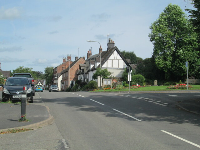
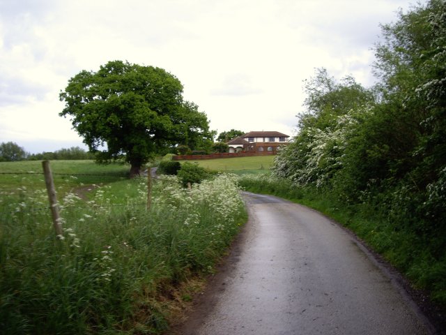
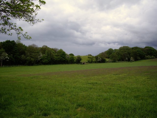
Stockings Cote is a quaint village located in the county of Staffordshire, England. Situated in the heart of the picturesque Wood, Forest area, it is surrounded by lush greenery and natural beauty. The village is known for its peaceful and idyllic atmosphere, making it a popular choice for those seeking a tranquil escape from city life.
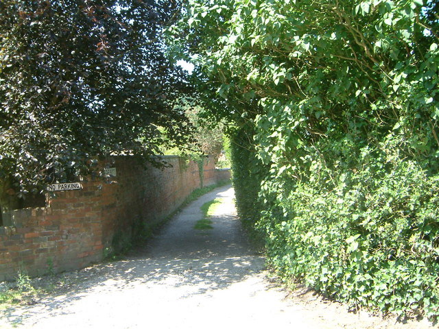
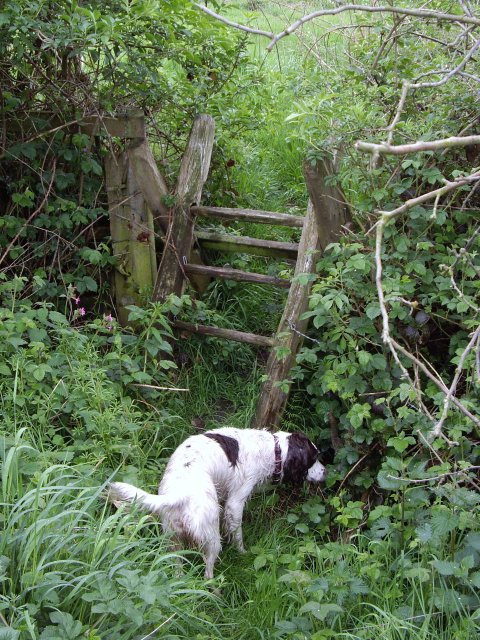
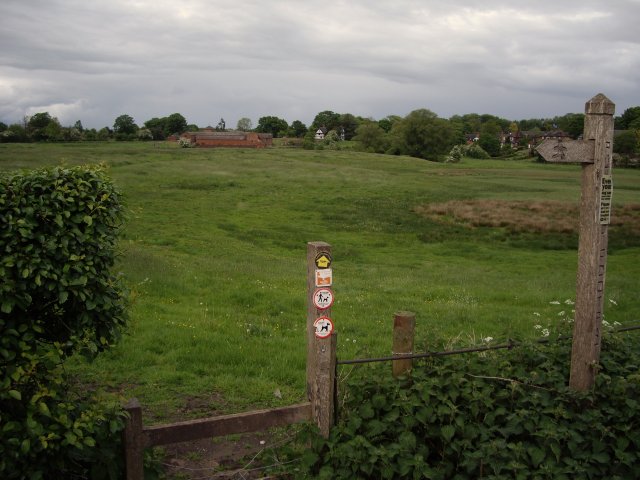
The main feature of Stockings Cote is its extensive woodland, which provides ample opportunities for outdoor activities such as hiking, cycling, and birdwatching. The forest is home to a diverse range of flora and fauna, including oak, beech, and birch trees, as well as various species of birds and small mammals.
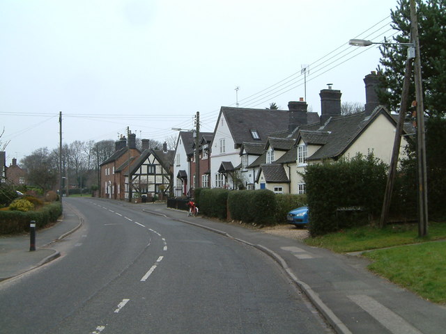
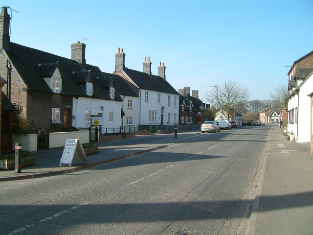
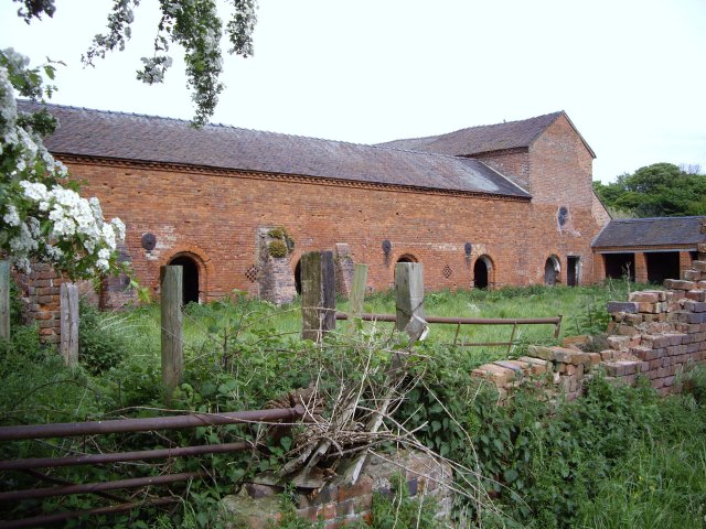
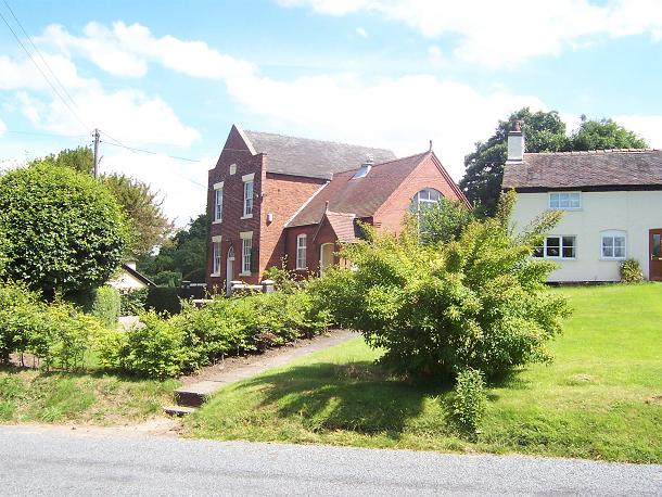
The village itself is small but charming, with a close-knit community of friendly locals. The architecture is primarily traditional, with quaint cottages and stone houses dotting the landscape. The village also boasts a local pub, where residents and visitors can enjoy a pint of ale and traditional English cuisine.
Despite its rural setting, Stockings Cote is well-connected to nearby towns and cities. The village is just a short drive away from the bustling town of Stafford, which offers a wide range of amenities including shops, restaurants, and leisure facilities.
Overall, Stockings Cote is a hidden gem in Staffordshire, offering a peaceful retreat in the midst of nature. Whether you're a nature enthusiast or simply seeking a break from the hectic pace of modern life, this charming village is sure to captivate and rejuvenate your senses.
If you have any feedback on the listing, please let us know in the comments section below.
Stockings Cote Images
Images are sourced within 2km of 53.042321/-2.3607828 or Grid Reference SJ7549. Thanks to Geograph Open Source API. All images are credited.


Stockings Cote is located at Grid Ref: SJ7549 (Lat: 53.042321, Lng: -2.3607828)
Administrative County: Staffordshire
District: Newcastle-under-Lyme
Police Authority: Staffordshire
What 3 Words
///fades.regard.baker. Near Betley, Staffordshire
Nearby Locations
Related Wikis

Balterley Green
Balterley Green is a village in Staffordshire, England. The population at the 2011 population can be found under Balterley
Balterley
Balterley is a village and civil parish in the borough of Newcastle-under-Lyme in Staffordshire, England. According to the 2001 census it had a population...
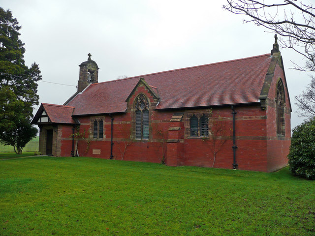
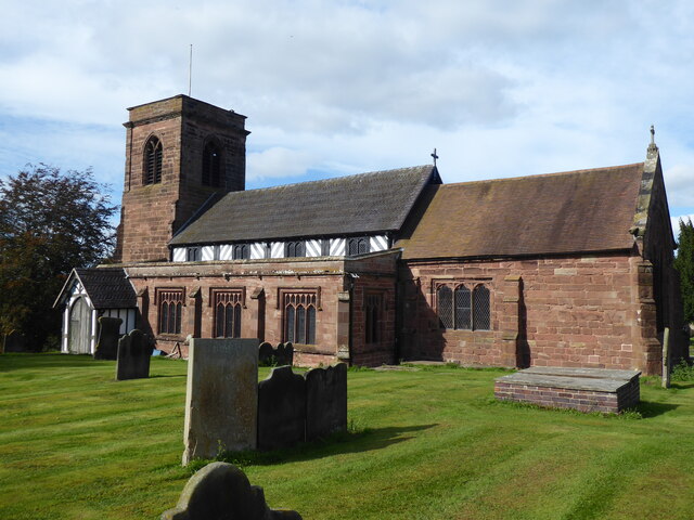
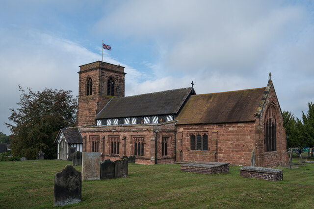
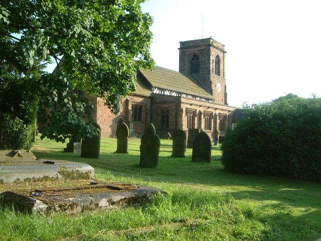
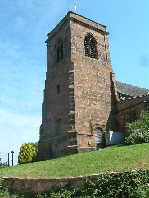
All Saints Church, Balterley
All Saints Church is in the village of Balterley, Staffordshire, England. It is an active Anglican parish church in the deanery of Congleton, the archdeaconry...

Betley
Betley is a village and civil parish in the borough of Newcastle-under-Lyme in Staffordshire, England, about halfway between the town of Newcastle-under...

Betley Court
Betley Court is an 18th-century country house in the ancient village of Betley, near Newcastle-under-Lyme, Staffordshire. It is a Grade II* listed building...

Black Firs and Cranberry Bog
Black Firs and Cranberry Bog is a nature reserve of the Staffordshire Wildlife Trust, adjacent to Balterley Heath and about 1 mile (1.6 km) north of the...

Balterley Heath
Balterley Heath is a village in the traditional county of Cheshire, England. It is now part of Balterley in the administrative county of Staffordshire...
Englesea Brook Chapel and Museum
Englesea Brook Chapel and Museum is in the village of Englesea-Brook, Cheshire, England. Built in 1828, the chapel was one of the earliest chapels of...
Nearby Amenities
Located within 500m of 53.042321,-2.3607828Have you been to Stockings Cote?
Leave your review of Stockings Cote below (or comments, questions and feedback).