Steele's Coppice
Wood, Forest in Staffordshire Newcastle-under-Lyme
England
Steele's Coppice
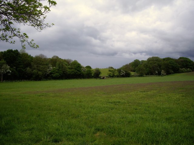
Steele's Coppice is a picturesque woodland located in Staffordshire, England. Spanning over an area of approximately 20 acres, it is a beautiful example of a coppiced woodland ecosystem. Derived from the term "coppice," which refers to a woodland management technique, Steele's Coppice has been traditionally managed for hundreds of years.
The woodland is dominated by a variety of native tree species, including oak, ash, birch, and hazel. These trees are regularly cut back to ground level to allow for the regeneration of multiple stems from the stump, a process known as coppicing. This management technique not only provides a sustainable source of timber but also creates a diverse habitat for a wide range of flora and fauna.
Strolling through Steele's Coppice, visitors can admire the stunning display of spring wildflowers that carpet the forest floor. Bluebells, wood anemones, and primroses are just a few of the many species that bloom here, creating a vibrant and colorful atmosphere.
The woodland is also home to an array of wildlife. Bird enthusiasts can spot various species, including woodpeckers, tits, and thrushes, while lucky visitors may even catch a glimpse of roe deer, foxes, or badgers. The tranquil atmosphere and the abundance of food and shelter make Steele's Coppice a haven for many creatures.
With its peaceful ambiance and natural beauty, Steele's Coppice provides an ideal setting for leisurely walks, photography, and nature observation. It offers visitors a chance to escape the hustle and bustle of everyday life and immerse themselves in the serene surroundings of this enchanting Staffordshire woodland.
If you have any feedback on the listing, please let us know in the comments section below.
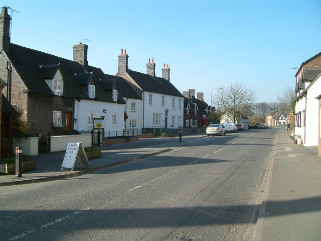
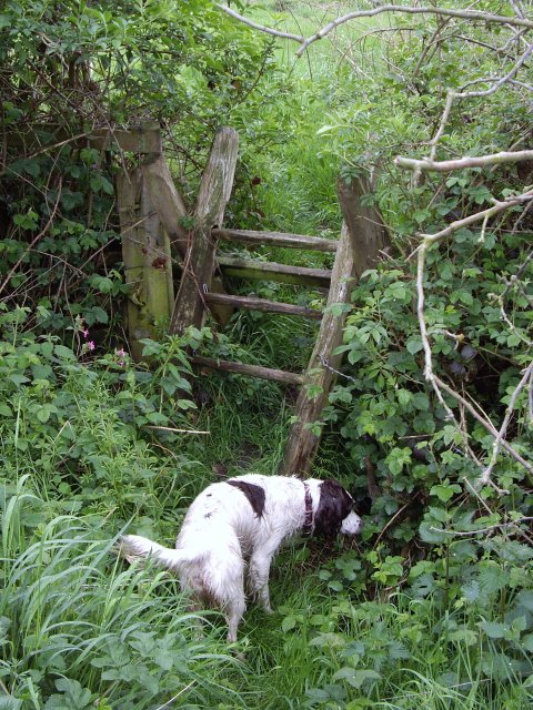
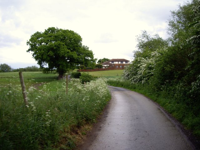
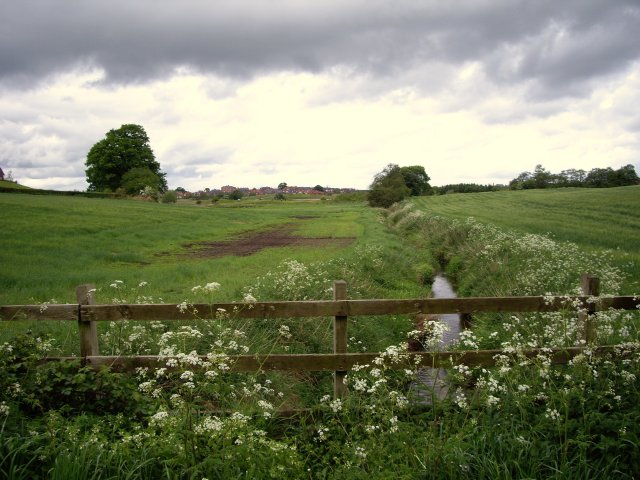
Steele's Coppice Images
Images are sourced within 2km of 53.042721/-2.3678858 or Grid Reference SJ7549. Thanks to Geograph Open Source API. All images are credited.


Steele's Coppice is located at Grid Ref: SJ7549 (Lat: 53.042721, Lng: -2.3678858)
Administrative County: Staffordshire
District: Newcastle-under-Lyme
Police Authority: Staffordshire
What 3 Words
///observes.vast.fluctuate. Near Betley, Staffordshire
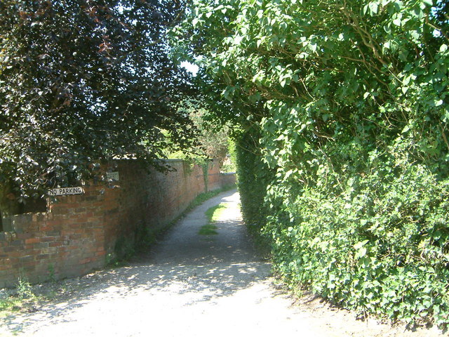
Nearby Locations
Related Wikis

Black Firs and Cranberry Bog
Black Firs and Cranberry Bog is a nature reserve of the Staffordshire Wildlife Trust, adjacent to Balterley Heath and about 1 mile (1.6 km) north of the...

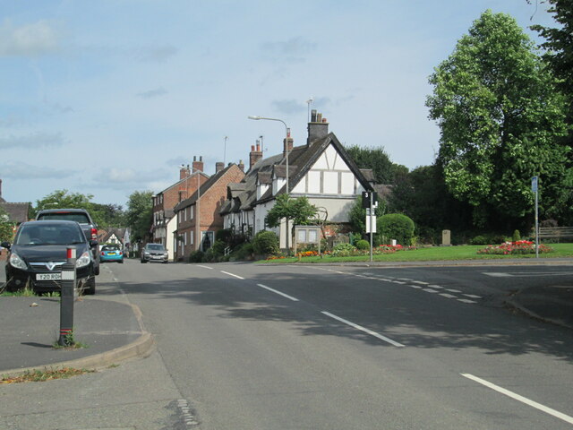
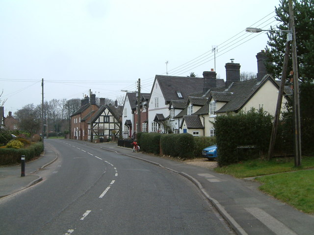
Betley
Betley is a village and civil parish in the borough of Newcastle-under-Lyme in Staffordshire, England, about halfway between the town of Newcastle-under...
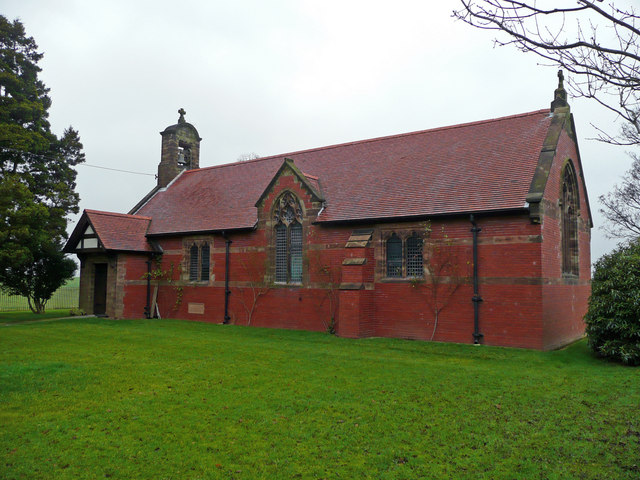
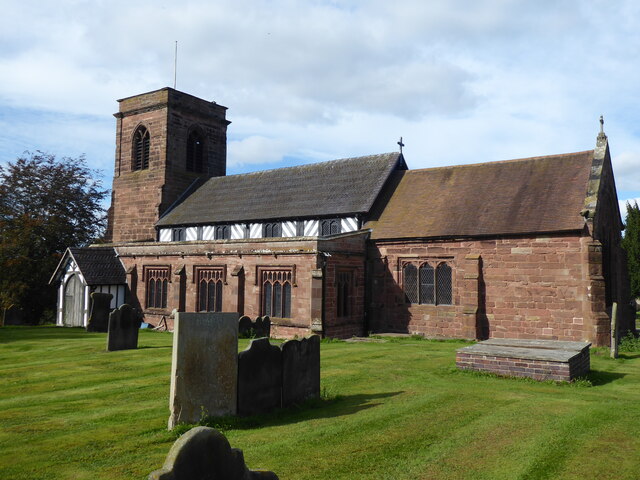
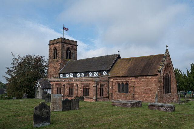
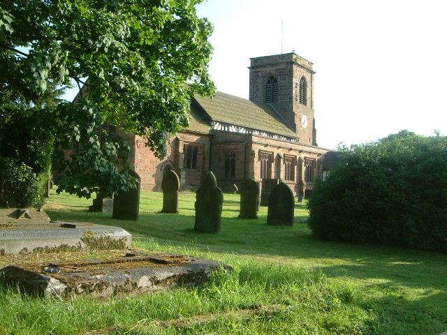
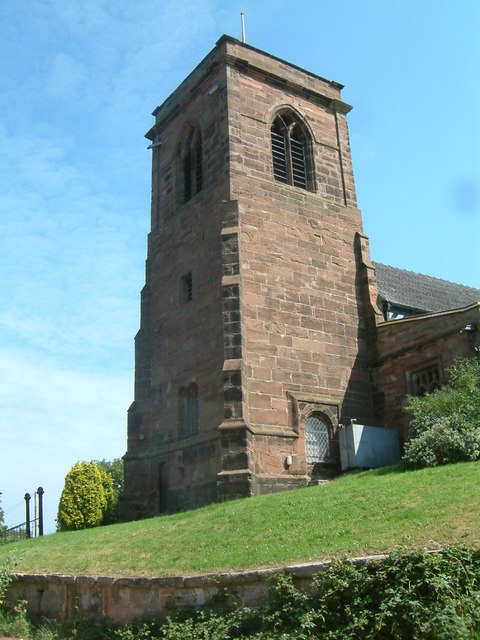
All Saints Church, Balterley
All Saints Church is in the village of Balterley, Staffordshire, England. It is an active Anglican parish church in the deanery of Congleton, the archdeaconry...

Balterley
Balterley is a village and civil parish in the borough of Newcastle-under-Lyme in Staffordshire, England. According to the 2001 census it had a population...

Betley Court
Betley Court is an 18th-century country house in the ancient village of Betley, near Newcastle-under-Lyme, Staffordshire. It is a Grade II* listed building...
Balterley Green
Balterley Green is a village in Staffordshire, England. The population at the 2011 population can be found under Balterley

Balterley Heath
Balterley Heath is a village in the traditional county of Cheshire, England. It is now part of Balterley in the administrative county of Staffordshire...
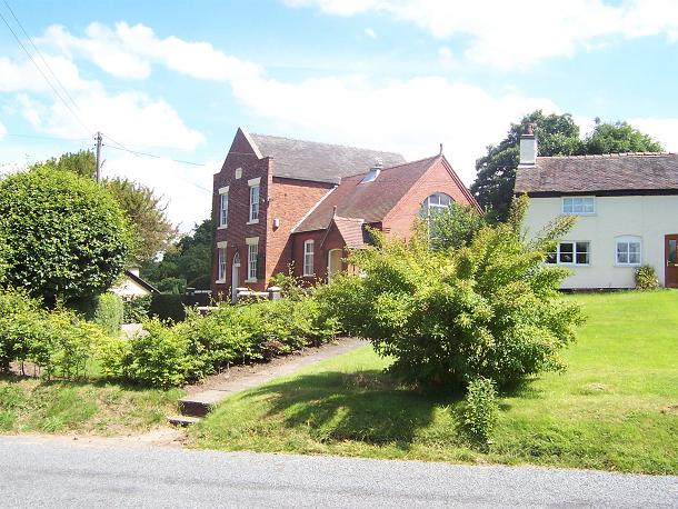
Englesea Brook Chapel and Museum
Englesea Brook Chapel and Museum is in the village of Englesea-Brook, Cheshire, England. Built in 1828, the chapel was one of the earliest chapels of...
Related Videos


Betley Bonfire 2021
The background songs are not my own music as they are played by hit mix radio who have a music permit. Please like and ...
Nearby Amenities
Located within 500m of 53.042721,-2.3678858Have you been to Steele's Coppice?
Leave your review of Steele's Coppice below (or comments, questions and feedback).