Blackmoor Wood
Wood, Forest in Somerset
England
Blackmoor Wood
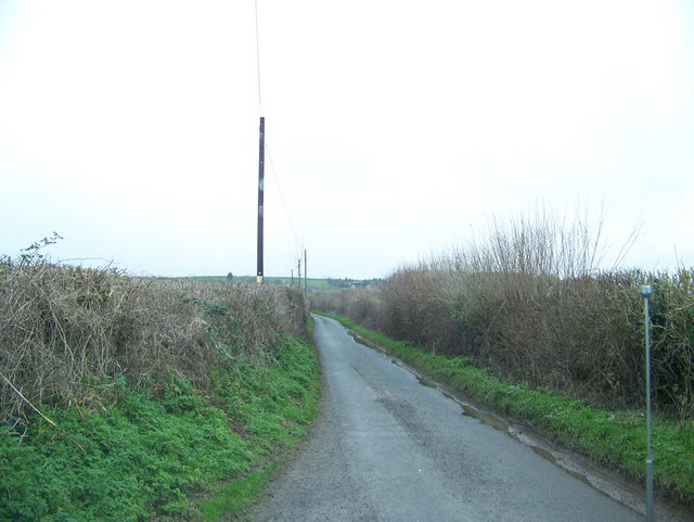
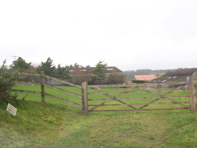
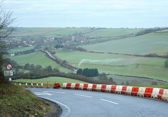
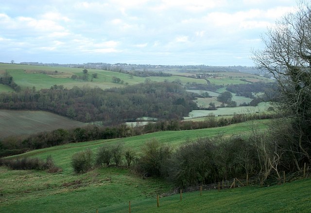
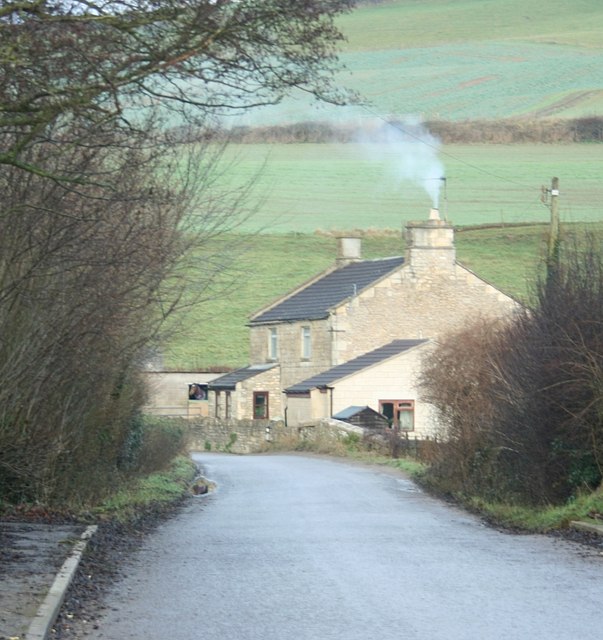
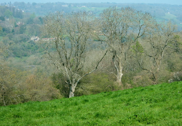
Blackmoor Wood is a picturesque woodland located in Somerset, England. It covers an area of approximately 100 acres and is known for its diverse range of flora and fauna. The wood is situated in the heart of the Blackmoor Vale, a rural area surrounded by rolling hills and meandering rivers.
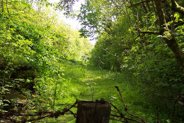
The woodland is predominantly composed of native broadleaf trees, such as oak, beech, and ash, which provide a dense canopy overhead. These trees create a tranquil and shady atmosphere, making it an ideal destination for nature enthusiasts and walkers.
Blackmoor Wood is home to a variety of wildlife species, including deer, badgers, foxes, and an abundance of birdlife. The wood provides a vital habitat for these creatures, offering shelter and sustenance throughout the year. Visitors often spot woodpeckers, owls, and various songbirds during their visit.
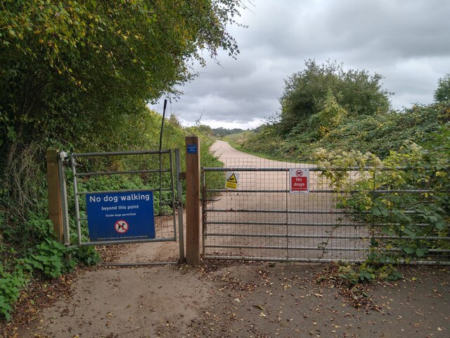
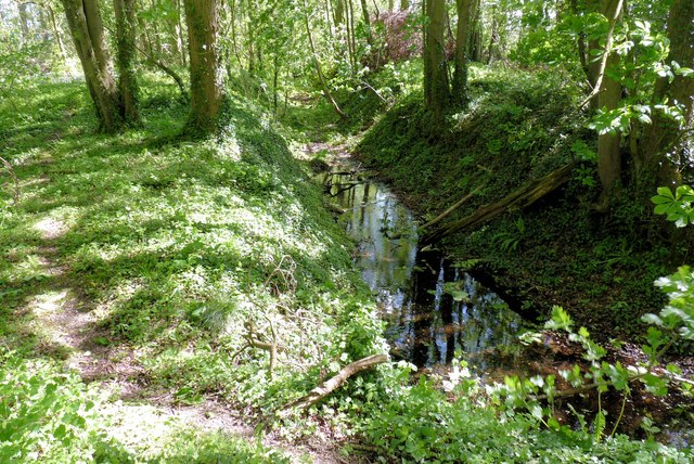
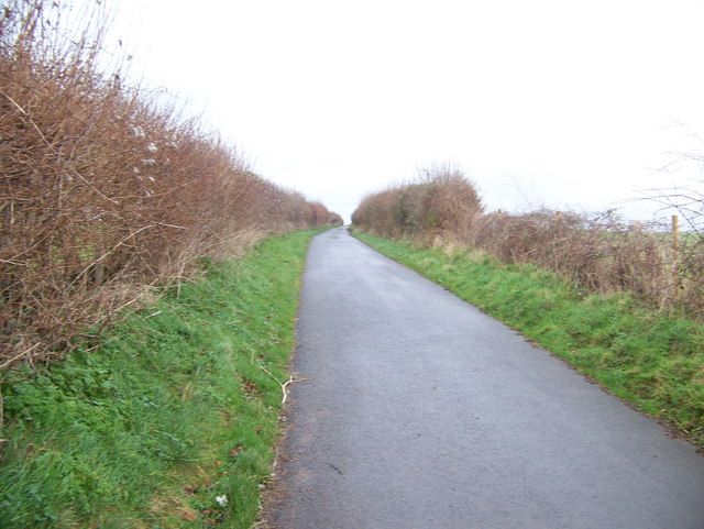
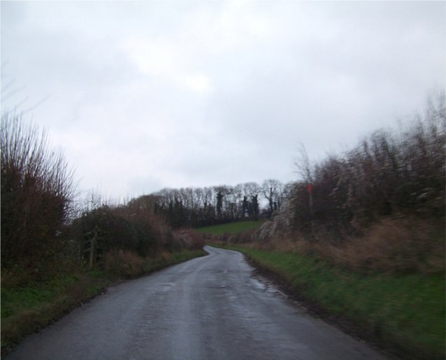
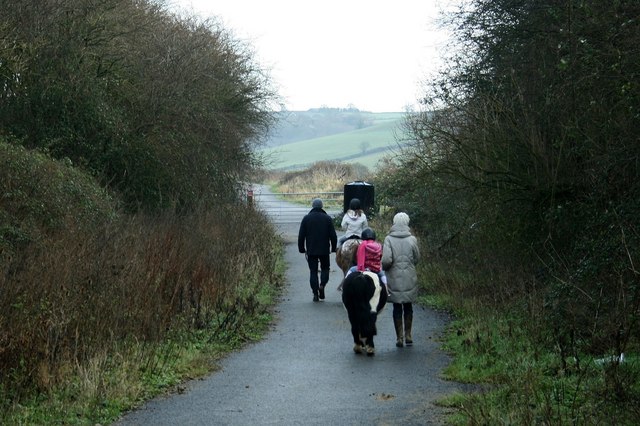
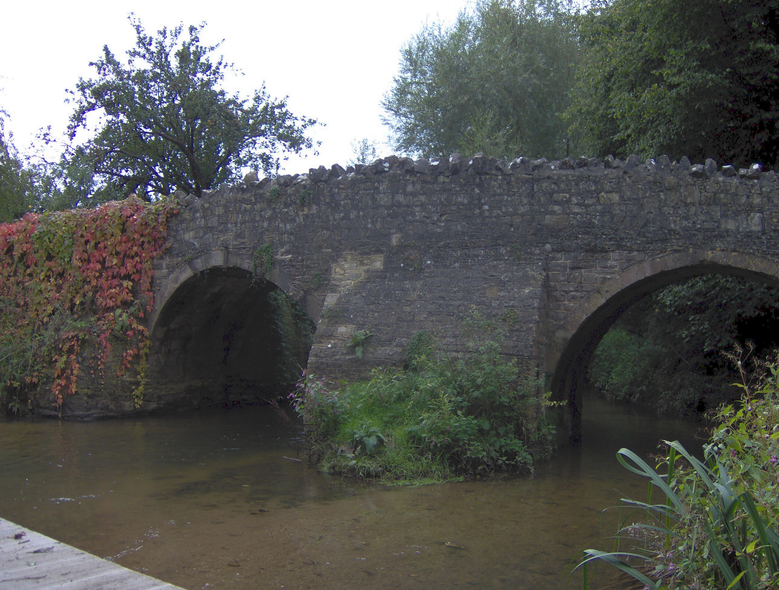
The wood is crisscrossed with a network of footpaths and trails, allowing visitors to explore its beauty at their own pace. These paths wind through the ancient woodland, leading to open clearings and hidden glades. The wood is also intersected by a small stream, adding to its natural charm.
Blackmoor Wood is a cherished local asset and is managed by a dedicated team, ensuring its preservation and conservation. It is a popular destination for both locals and tourists, who come to appreciate its natural beauty and immerse themselves in the tranquility of the Somerset countryside.
If you have any feedback on the listing, please let us know in the comments section below.
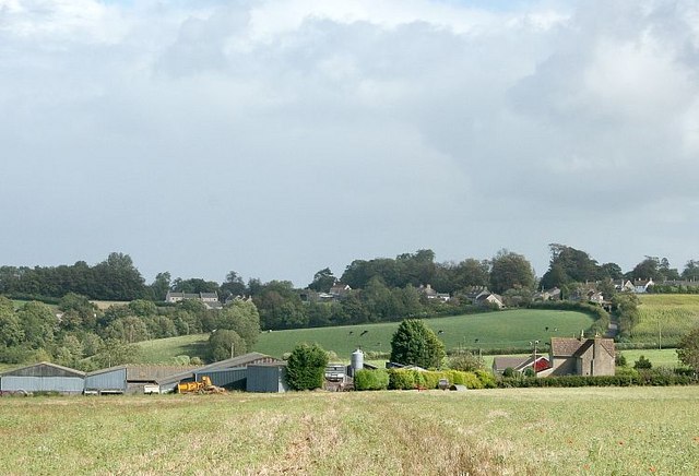
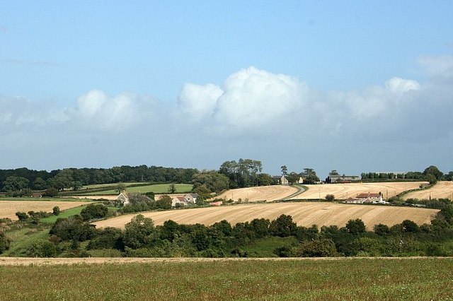
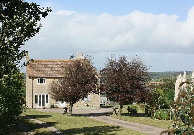
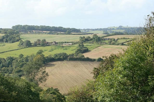
Blackmoor Wood Images
Images are sourced within 2km of 51.338411/-2.3501954 or Grid Reference ST7559. Thanks to Geograph Open Source API. All images are credited.
Blackmoor Wood is located at Grid Ref: ST7559 (Lat: 51.338411, Lng: -2.3501954)
Unitary Authority: Bath and North East Somerset
Police Authority: Avon and Somerset
What 3 Words
///fact.dome.editor. Near Hinton Charterhouse, Somerset
Nearby Locations
Related Wikis
Wellow Brook
The Wellow Brook is a small river in Somerset, England. It rises near Ston Easton Park in the village of Ston Easton and flows east to Midsomer Norton...
Cam Brook
The Cam brook is a small river in Somerset, England. It rises near Hinton Blewitt, flows through Cameley, Temple Cloud, Camerton, Dunkerton and Combe Hay...

Midford railway station
Midford railway station was a single-platform station on the Bath extension of the Somerset and Dorset Railway, just to the north of the point where the...
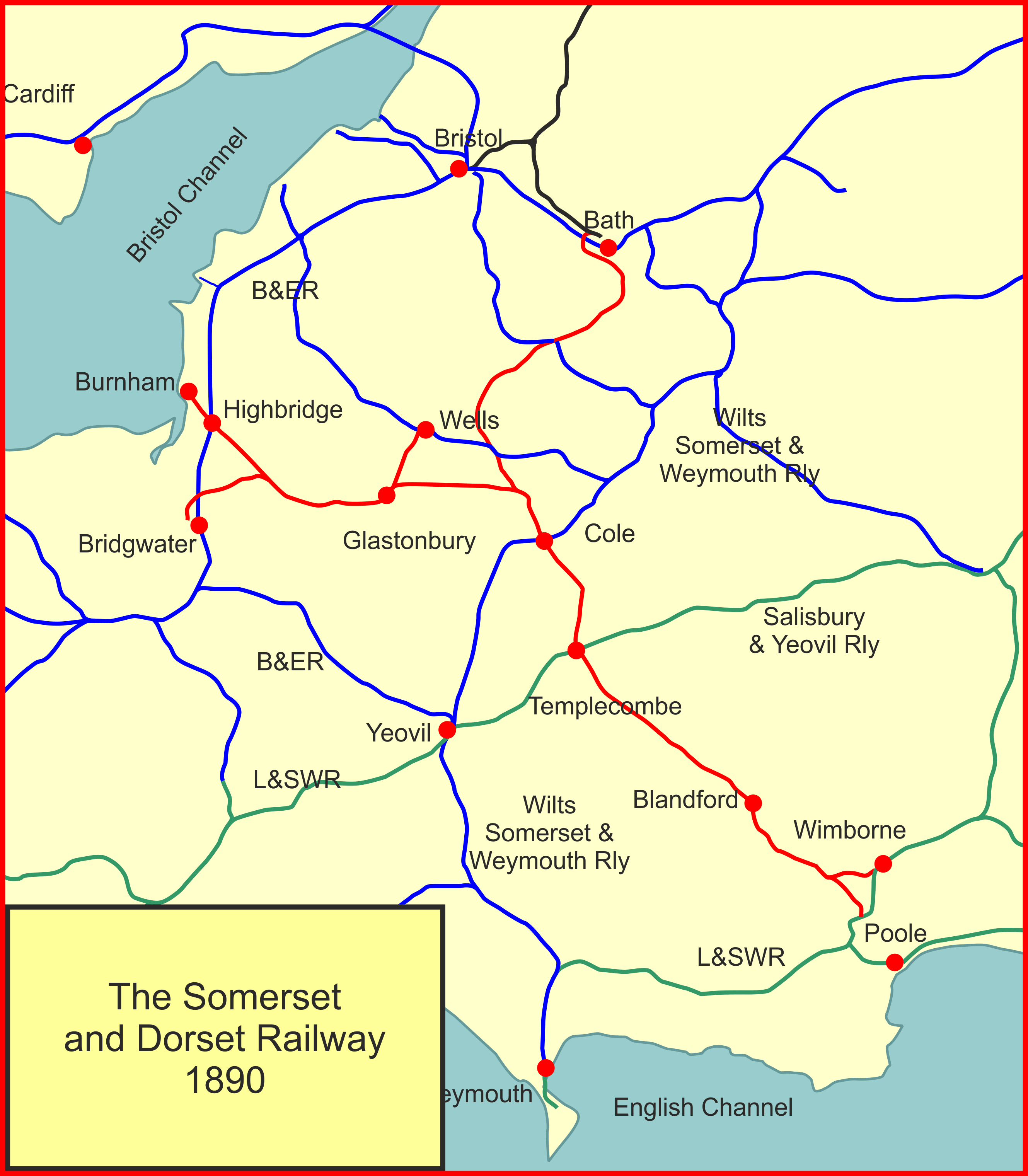
New Somerset and Dorset Railway
The New Somerset and Dorset Railway, formed in early 2009, aims to restore the complete line of the Somerset and Dorset Joint Railway as a modern transport...
Midford
Midford is a village approximately 3 miles (5 km) south-south-east of Bath, Somerset, England. Although relatively small, it extends over 2 counties (Wiltshire...

Midford Halt railway station
Midford Halt railway station was open between 1911 and 1915 in Somerset, England. The halt was on the Limpley Stoke to Camerton railway that formed part...

Midford Castle
Midford Castle is a folly castle in the village of Midford, and the parish of Southstoke 3 miles (5 km) south of Bath, Somerset, England. The castle was...

Combe Hay Locks
The Combe Hay Locks is a derelict flight of locks on the Somerset Coal Canal near Combe Hay, Somerset, England. Twenty two locks raised the canal 134 feet...
Nearby Amenities
Located within 500m of 51.338411,-2.3501954Have you been to Blackmoor Wood?
Leave your review of Blackmoor Wood below (or comments, questions and feedback).