News Wood
Wood, Forest in Herefordshire
England
News Wood
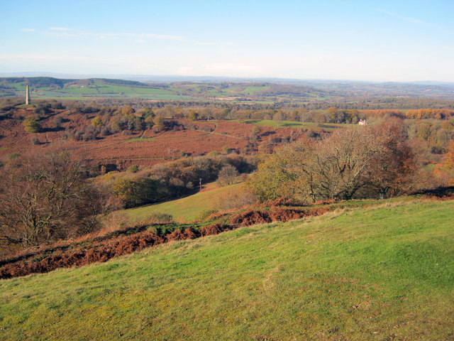
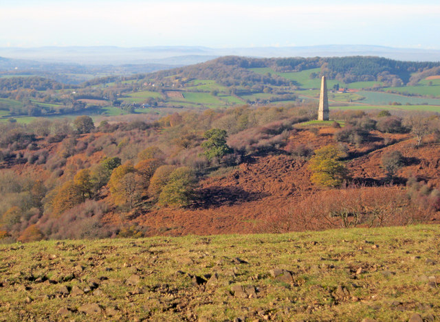
News Wood is a dense forest located in Herefordshire, a county in the West Midlands region of England. Covering an area of approximately 200 acres, it is renowned for its picturesque landscapes and diverse wildlife. The wood is situated on a gently sloping terrain, characterized by a mixture of mature broadleaf and coniferous trees, including oak, beech, and pine.
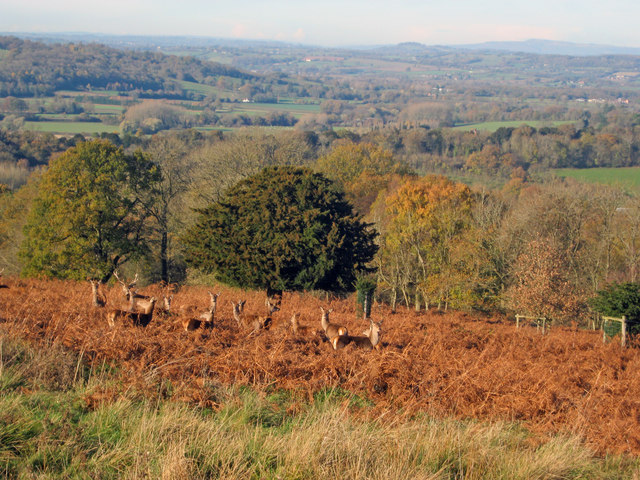
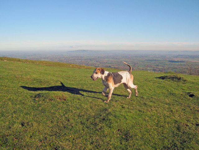
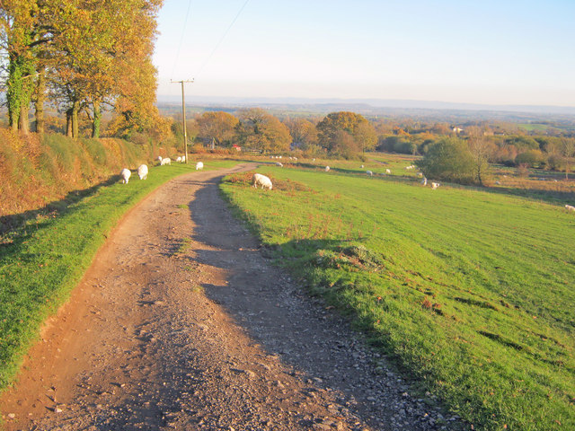
The forest is a popular destination for nature enthusiasts, hikers, and birdwatchers due to its tranquil environment and abundance of wildlife. Visitors can explore well-maintained trails that wind through the wood, offering stunning views of the surrounding countryside. The diverse ecosystem supports a wide variety of plant and animal species, including deer, foxes, badgers, and a multitude of bird species.
News Wood is also notable for its historical significance. The wood has been managed for centuries, with evidence of human settlement dating back to the Iron Age. It has witnessed various land uses throughout history, including timber production for shipbuilding during the Tudor period. Today, the forest is carefully managed to preserve its natural beauty and ecological balance.
The wood is easily accessible by road, with ample parking facilities available nearby. It attracts a steady stream of visitors throughout the year, who come to appreciate its natural splendor and enjoy the peacefulness it offers. News Wood in Herefordshire is a treasured destination for those seeking a connection with nature and a place of tranquility amidst the bustling modern world.
If you have any feedback on the listing, please let us know in the comments section below.
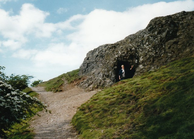
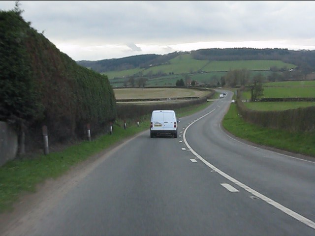
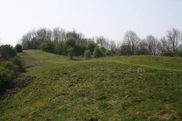
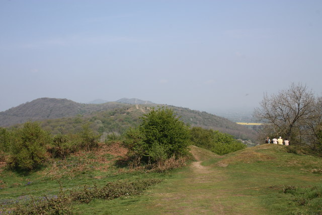
News Wood Images
Images are sourced within 2km of 52.050075/-2.3557937 or Grid Reference SO7539. Thanks to Geograph Open Source API. All images are credited.

News Wood is located at Grid Ref: SO7539 (Lat: 52.050075, Lng: -2.3557937)
Unitary Authority: County of Herefordshire
Police Authority: West Mercia
What 3 Words
///makeup.wider.belief. Near Ledbury, Herefordshire
Nearby Locations
Related Wikis

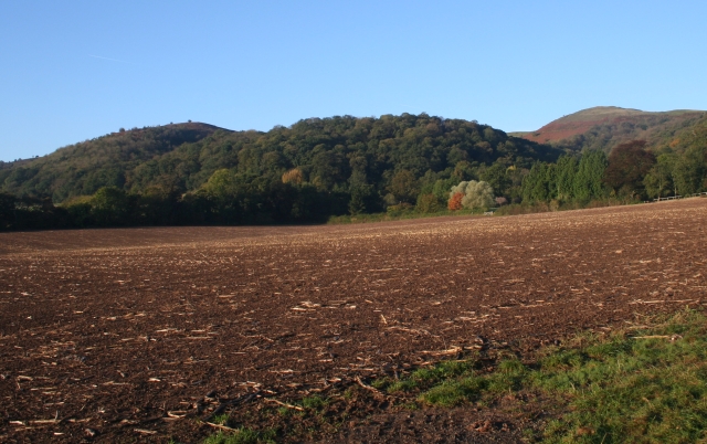
Swinyard Hill
Swinyard Hill is a hill in the Malvern Range, a line of hills that runs approximately 13 kilometres (8 mi) north-south along the Herefordshire-Worcestershire...

British Camp
British Camp is an Iron Age hill fort located at the top of Herefordshire Beacon in the Malvern Hills. The hill fort is protected as a Scheduled Ancient...
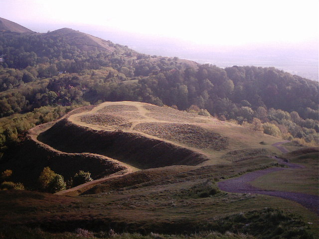
Herefordshire Beacon
The Herefordshire Beacon is one of the highest peaks of the Malvern Hills. It is surrounded by a British Iron Age hill fort earthwork known as British...
Tinkers Hill
Tinkers Hill is situated in the range of Malvern Hills that runs about 13 kilometres (8 mi) north-south along the Herefordshire-Worcestershire border....
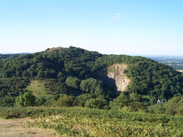
Midsummer Hill
Midsummer Hill is situated in the range of Malvern Hills that runs approximately 13 kilometres (8 mi) north-south along the Herefordshire-Worcestershire...
Hollybush Hill
Hollybush Hill is situated in the range of Malvern Hills that runs approximately 13 kilometres (8 mi) north–south along the Herefordshire–Worcestershire...

Little Malvern
Little Malvern is a small village and civil parish in Worcestershire, England. It is situated on the lower slopes of the Malvern Hills, south of Malvern...

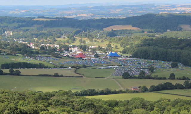
Electromagnetic Field (festival)
Electromagnetic Field (also known as EMF, or EMF Camp) is a camping festival in the UK, held every two years, for hackers, geeks, engineers and scientists...
Nearby Amenities
Located within 500m of 52.050075,-2.3557937Have you been to News Wood?
Leave your review of News Wood below (or comments, questions and feedback).