Price Grove

Wood, Forest in Gloucestershire Forest of Dean

England

Price Grove

Upleadon Mill A disused watermill that still retains some machinery and has a wheel thought to be a Poncelet design. Unfortunately the wheel is so overgrown that it is barely visible. It might be clearer in the winter.
Upleadon Mill Credit: Chris Allen

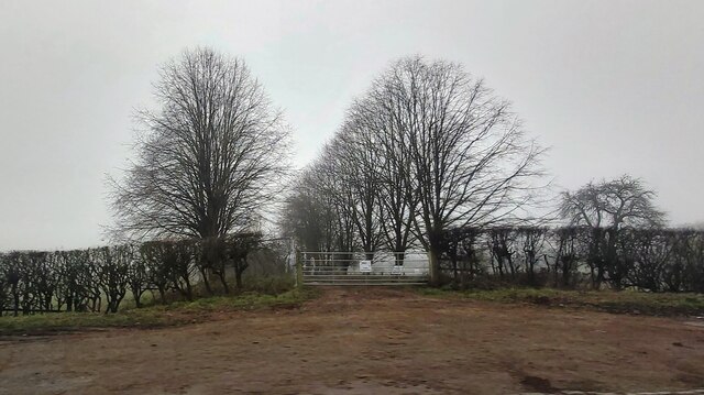
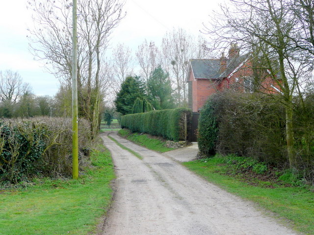
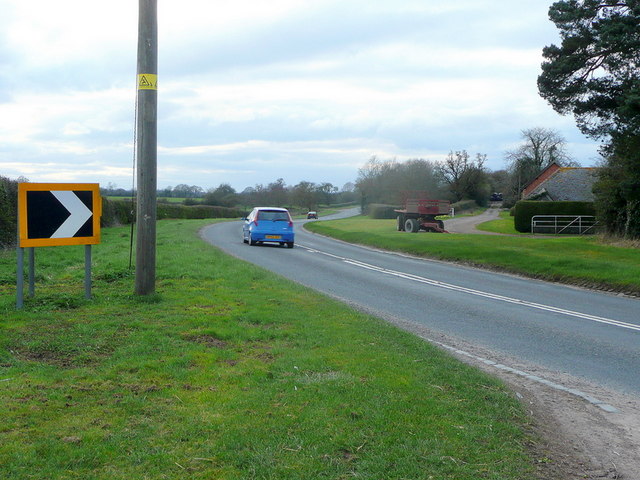
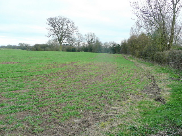
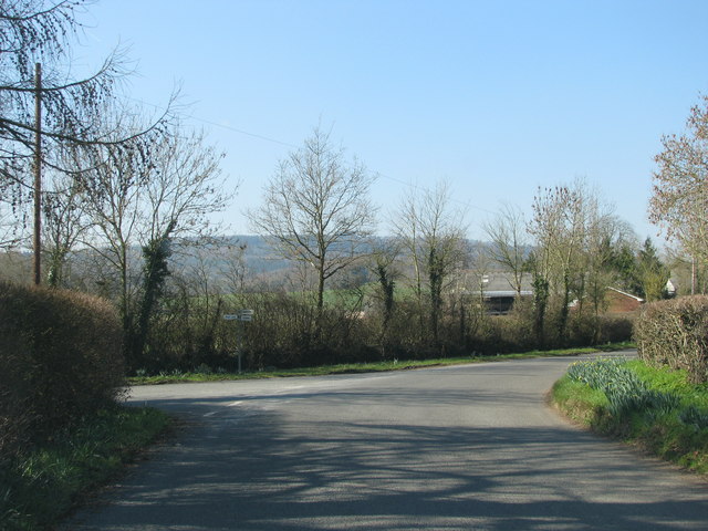
Price Grove is a charming woodland area situated in the county of Gloucestershire, England. Located in the heart of the Forest of Dean, it offers a serene and picturesque setting for nature enthusiasts and outdoor adventurers alike. The grove is known for its dense and ancient woodlands, which provide a haven for various wildlife species and offer a tranquil escape from the hustle and bustle of everyday life.

Covering an area of approximately 100 acres, Price Grove boasts an impressive mix of deciduous and coniferous trees, including oak, beech, and pine. The diverse range of flora and fauna found within the grove creates a rich and biodiverse ecosystem. Visitors can expect to encounter an array of wildlife, such as deer, foxes, badgers, and various species of birds.

The grove is crisscrossed by a network of walking trails and paths, allowing visitors to explore and appreciate the natural beauty of the area. These trails cater to different levels of difficulty, providing options for both casual strollers and avid hikers. Along the way, one can discover hidden ponds, meandering streams, and enchanting glades, adding to the allure of Price Grove.

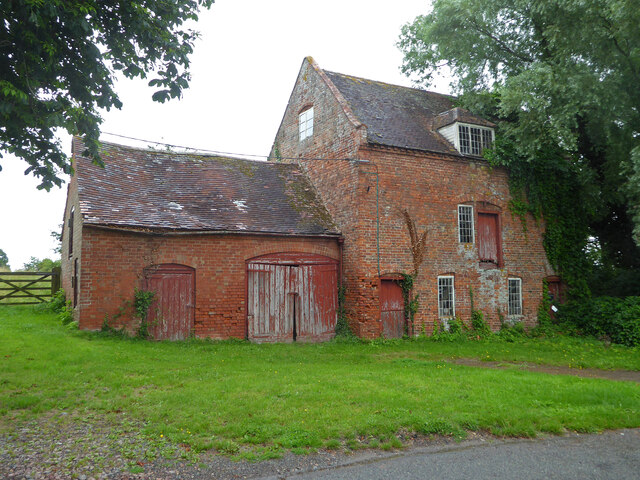
In addition to its natural beauty, Price Grove is also home to a number of historic landmarks. The remains of an iron smelting furnace, dating back to the 18th century, can still be seen within the grove, serving as a reminder of the area's industrial past.

Overall, Price Grove in Gloucestershire is a captivating destination for those seeking a peaceful retreat in a stunning woodland environment. Its natural diversity, scenic trails, and historical significance make it an ideal location for nature lovers and history enthusiasts alike.

If you have any feedback on the listing, please let us know in the comments section below.
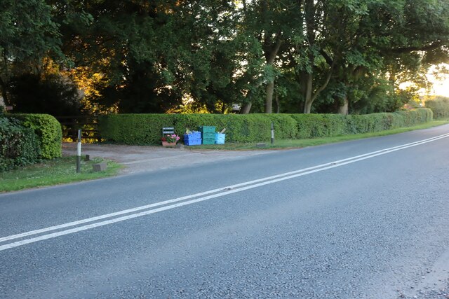
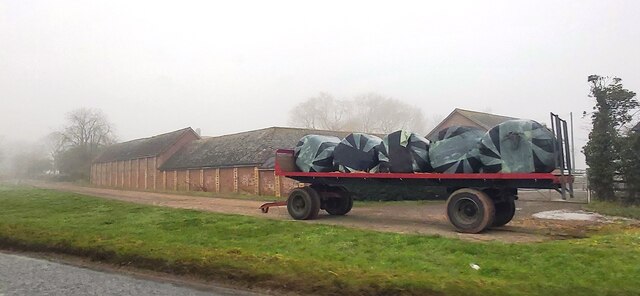
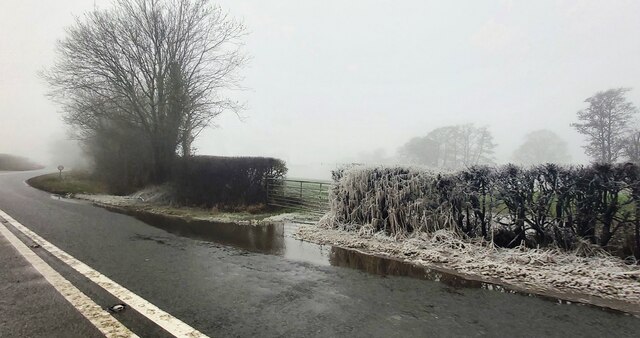
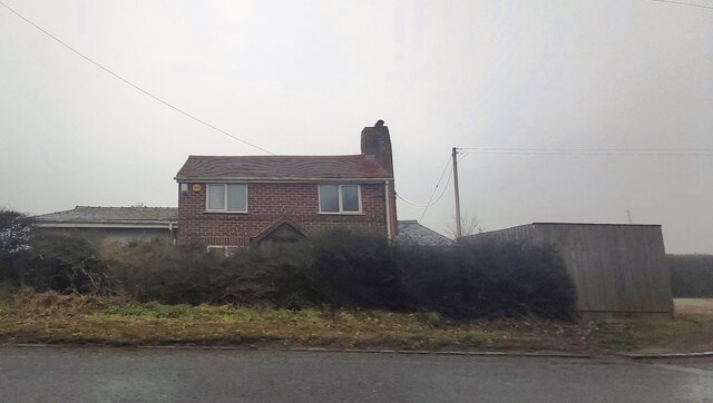
Price Grove Images

Images are sourced within 2km of 51.932653/-2.3566817 or Grid Reference SO7526. Thanks to Geograph Open Source API. All images are credited.

Upleadon Mill A disused watermill that still retains some machinery and has a wheel thought to be a Poncelet design. Unfortunately the wheel is so overgrown that it is barely visible. It might be clearer in the winter.
Upleadon Mill
A disused watermill that still retains some machinery and has a wheel thought to be a Poncelet design. Unfortunately the wheel is so overgrown that it is barely visible. It might be clearer in the winter.
Road over the River Leadon Upleadon Mill is hidden behind the trees to the right of the road.
Road over the River Leadon
Upleadon Mill is hidden behind the trees to the right of the road.
St Mary the Virgin Church, Upleadon
Upleadon Court
Upleadon Court
The B4215, Malswick
The B4215, Malswick
The B4215 before Highleadon
Rymes Place Farm
Rymes Place Farm
Frozen Hedge at Malswick Mill
House near Malswick
House near Malswick
Entrance gates of Solar Farm
Upleadon - Church of St Mary
B4215 at Malswick Looking north towards Newent with the house named on OS mapping as Spring Bank on the right.
B4215 at Malswick
Looking north towards Newent with the house named on OS mapping as Spring Bank on the right.
Track to Moat Farm Free-range eggs are currently (March 2011) 1.70/dozen.
May Hill can be seen in the sunny distance.
Track to Moat Farm
Free-range eggs are currently (March 2011) 1.70/dozen. May Hill can be seen in the sunny distance.
Track and footpath The Victorian house may have originated from the days when the nearby and defunct Newent Railway was built.
Track and footpath
The Victorian house may have originated from the days when the nearby and defunct Newent Railway was built.
B4215 at Malswick The road was realigned after the Newent Railway became redundant. the original road leading closely past Rymes Place Farm can be seen to the right.
B4215 at Malswick
The road was realigned after the Newent Railway became redundant. the original road leading closely past Rymes Place Farm can be seen to the right.
Arable land at Malswick Looking south from the B4215.
Arable land at Malswick
Looking south from the B4215.
Turning into Moat Lane
Show me another place!

Price Grove is located at Grid Ref: SO7526 (Lat: 51.932653, Lng: -2.3566817)

Administrative County: Gloucestershire

District: Forest of Dean

Police Authority: Gloucestershire

What 3 Words

///shelving.steered.bombshell. Near Newent, Gloucestershire

Related Wikis

Upleadon

Upleadon is a village and civil parish situated 10.5 km north-west of Gloucester. Soon after the Norman conquest Upleadon became part of the estates of...

Okle Green

Okle Green is a village in Gloucestershire, England.

Malswick Halt railway station

Malswick Halt was a request stop on the former Ledbury and Gloucester Railway. It opened on 1st February 1938 and was closed in 1959 when the line was...

Newent Town F.C.

Newent Town Association Football Club is a football club based in Newent, Gloucestershire, England. They were established in 1920. Affiliated to the Gloucestershire...

Collinpark Wood SSSI

Collinpark Wood (grid reference SO750278) is a 66.69-hectare (164.8-acre) biological Site of Special Scientific Interest in Gloucestershire, notified in...

Brand Green

Brand Green is a village in Gloucestershire, England. == References == == External links == Media related to Brand Green at Wikimedia Commons

Newent

Newent (; originally called "Noent") is a market town and civil parish in the Forest of Dean in Gloucestershire, England. The town is 11 miles (18 km)...

Corse, Gloucestershire

Corse is a village in the English county of Gloucestershire, next to the village of Staunton. The parish lies on the tongue of land between the River Severn...

Nearby Amenities

Located within 500m of 51.932653,-2.3566817
Bus Stop
Hook's Ln
Naptan AtcoCode: 1600GL4963
Naptan Bearing: NW
Naptan CommonName: Hook's Ln
Naptan NaptanCode: gloaptgp
Naptan Street: Gloucester Rd
Naptan Verified: no
Source: naptan_import
Lat/Long: 51.9359061/-2.3560367
Bus Stop
Hook's Ln
Naptan AtcoCode: 1600GL4964
Naptan Bearing: SE
Naptan CommonName: Hook's Ln
Naptan Indicator: Opp
Naptan NaptanCode: gloaptgd
Naptan Street: Gloucester Rd
Naptan Verified: no
Source: naptan_import
Lat/Long: 51.9362831/-2.3562288
Bus Stop
The Homestead
Naptan AtcoCode: 1600GLF665
Naptan Bearing: N
Naptan CommonName: The Homestead
Naptan NaptanCode: gloaptmj
Naptan Street: Gloucester Rd
Naptan Verified: no
Source: naptan_import
Lat/Long: 51.931789/-2.3527898
Bus Stop
The Homestead
Naptan AtcoCode: 1600GLF666
Naptan Bearing: S
Naptan CommonName: The Homestead
Naptan NaptanCode: gloaptmt
Naptan Street: Gloucester Rd
Naptan Verified: no
Source: naptan_import
Lat/Long: 51.9318253/-2.3526737
Glebe Farm
Landuse: farm
Note Retag: CS #48756035
Source: OS OpenData StreetView
Lat/Long: 51.9369152/-2.3563816
Glebe Farm Upleadon
Power: pole
Transformer: distribution
Voltage Primary: 11000
Lat/Long: 51.9370721/-2.3564976
Hooks Lane
Power: pole
Transformer: distribution
Voltage Primary: 11000
Lat/Long: 51.934871/-2.3626184
Power: pole
Lat/Long: 51.9306972/-2.3632018
Power: pole
Lat/Long: 51.9303056/-2.362247
Power: pole
Lat/Long: 51.9298487/-2.36116
Power: pole
Lat/Long: 51.929561/-2.3604774
Power: pole
Lat/Long: 51.9291756/-2.3595487
Power: pole
Lat/Long: 51.9287981/-2.3586441
Power: pole
Lat/Long: 51.9284201/-2.3577476
Power: pole
Lat/Long: 51.9283494/-2.3563387
Prices Grove North
Power: pole
Transformer: distribution
Voltage Primary: 11000
Lat/Long: 51.9319281/-2.352241
Power: pole
Lat/Long: 51.9303118/-2.3512345
Power: pole
Lat/Long: 51.9313716/-2.3517206
Power: pole
Lat/Long: 51.9307743/-2.3511738
Prices Grove South
Power: pole
Transformer: distribution
Voltage Primary: 11000
Lat/Long: 51.9299017/-2.3510112
The data included in this document is from www.openstreetmap.org. The data is made available under ODbL.

Have you been to Price Grove?

Leave your review of Price Grove below (or comments, questions and feedback).