Grinnell's Wood

Wood, Forest in Gloucestershire Forest of Dean

England

Grinnell's Wood

Upleadon Mill A disused watermill that still retains some machinery and has a wheel thought to be a Poncelet design. Unfortunately the wheel is so overgrown that it is barely visible. It might be clearer in the winter.
Upleadon Mill Credit: Chris Allen

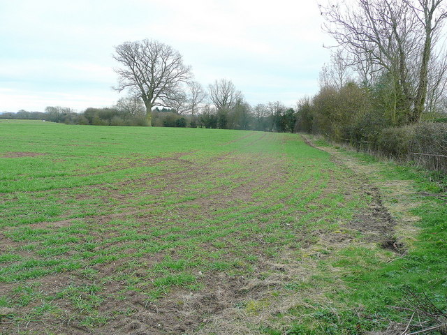
Grinnell's Wood is a picturesque woodland located in the county of Gloucestershire, England. Situated near the village of Grinnell, it covers an area of approximately 100 acres and is an important part of the local landscape. The wood is part of a larger forested area in the region, providing a natural habitat for a variety of flora and fauna.

The woodland is predominantly made up of deciduous trees such as oak, beech, and ash, which create a dense canopy that filters sunlight and casts shadows on the forest floor. This creates a cool and tranquil environment, perfect for leisurely walks and nature enthusiasts. The forest floor is covered in a carpet of moss, ferns, and wildflowers, adding to the wood's natural beauty.

Grinnell's Wood is also home to a diverse array of wildlife. Visitors may spot various bird species, including woodpeckers, owls, and songbirds, as well as small mammals like squirrels and rabbits. Some lucky observers have even reported sightings of deer and foxes.

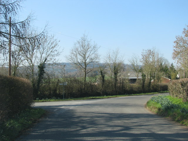
For those interested in outdoor activities, there are several well-maintained trails that wind through the wood, providing opportunities for hiking, jogging, or cycling. The pathways are clearly marked and offer scenic views of the surrounding countryside. There are also designated picnic areas where visitors can relax and enjoy the peaceful atmosphere.

Overall, Grinnell's Wood is a charming and tranquil destination for nature lovers and outdoor enthusiasts alike. Its natural beauty, diverse wildlife, and well-maintained trails make it an ideal location to escape the hustle and bustle of everyday life and immerse oneself in the serenity of nature.

If you have any feedback on the listing, please let us know in the comments section below.

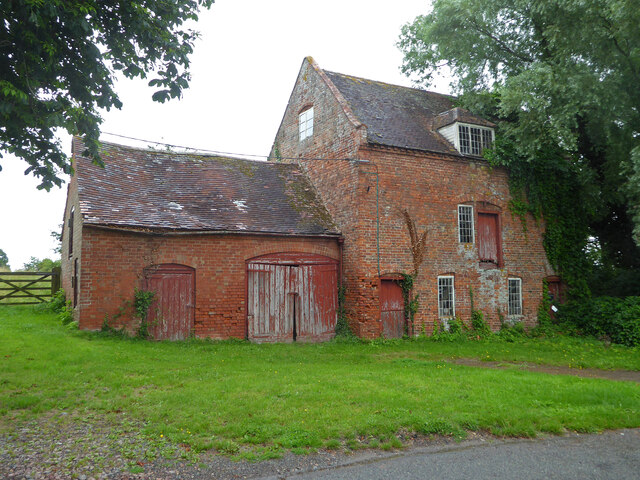
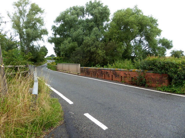
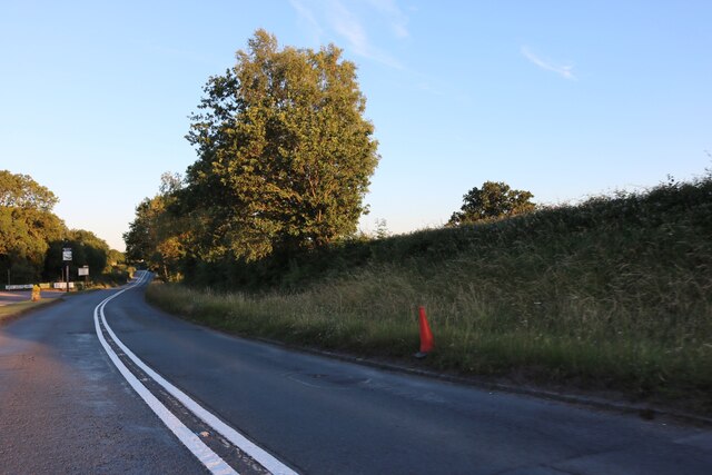
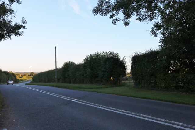
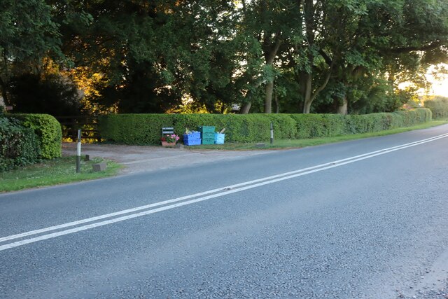
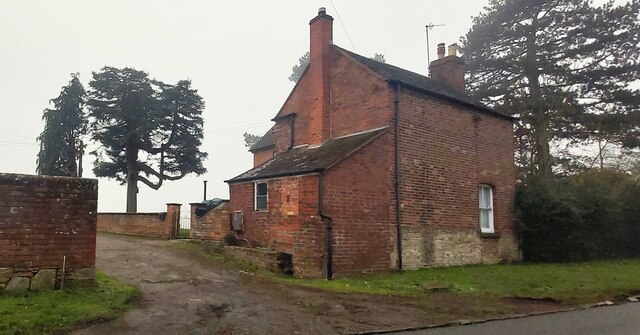
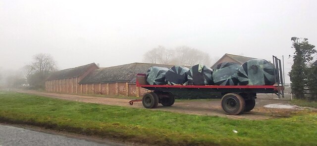
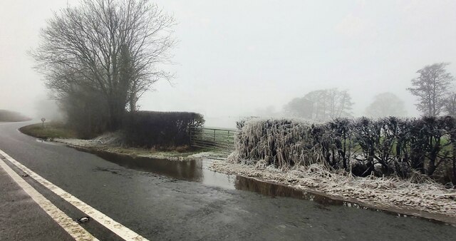
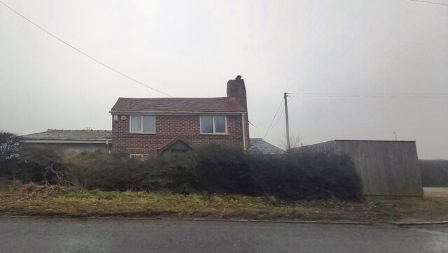
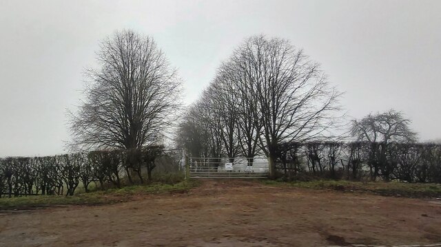
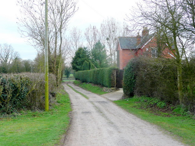
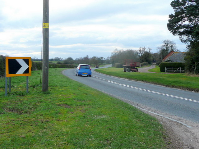
Grinnell's Wood Images

Images are sourced within 2km of 51.933131/-2.3591435 or Grid Reference SO7526. Thanks to Geograph Open Source API. All images are credited.

Upleadon Mill A disused watermill that still retains some machinery and has a wheel thought to be a Poncelet design. Unfortunately the wheel is so overgrown that it is barely visible. It might be clearer in the winter.
Upleadon Mill
A disused watermill that still retains some machinery and has a wheel thought to be a Poncelet design. Unfortunately the wheel is so overgrown that it is barely visible. It might be clearer in the winter.
Road over the River Leadon Upleadon Mill is hidden behind the trees to the right of the road.
Road over the River Leadon
Upleadon Mill is hidden behind the trees to the right of the road.
St Mary the Virgin Church, Upleadon
Upleadon Court
Upleadon Court
The B4215, Malswick
The B4215, Malswick
The B4215 before Highleadon
Aylescroft Farm House
Rymes Place Farm
Rymes Place Farm
Frozen Hedge at Malswick Mill
House near Malswick
House near Malswick
Entrance gates of Solar Farm
Upleadon - Church of St Mary
Track and footpath The Victorian house may have originated from the days when the nearby and defunct Newent Railway was built.
Track and footpath
The Victorian house may have originated from the days when the nearby and defunct Newent Railway was built.
B4215 at Malswick The road was realigned after the Newent Railway became redundant. the original road leading closely past Rymes Place Farm can be seen to the right.
B4215 at Malswick
The road was realigned after the Newent Railway became redundant. the original road leading closely past Rymes Place Farm can be seen to the right.
Arable land at Malswick Looking south from the B4215.
Arable land at Malswick
Looking south from the B4215.
Turning into Moat Lane
Malswick entrance sign
Show me another place!

Grinnell's Wood is located at Grid Ref: SO7526 (Lat: 51.933131, Lng: -2.3591435)

Administrative County: Gloucestershire

District: Forest of Dean

Police Authority: Gloucestershire

What 3 Words

///clues.defends.protrude. Near Newent, Gloucestershire

Related Wikis

Upleadon

Upleadon is a village and civil parish situated 10.5 km north-west of Gloucester. Soon after the Norman conquest Upleadon became part of the estates of...

Okle Green

Okle Green is a village in Gloucestershire, England.

Malswick Halt railway station

Malswick Halt was a request stop on the former Ledbury and Gloucester Railway. It opened on 1st February 1938 and was closed in 1959 when the line was...

Newent Town F.C.

Newent Town Association Football Club is a football club based in Newent, Gloucestershire, England. They were established in 1920. Affiliated to the Gloucestershire...

Collinpark Wood SSSI

Collinpark Wood (grid reference SO750278) is a 66.69-hectare (164.8-acre) biological Site of Special Scientific Interest in Gloucestershire, notified in...

Brand Green

Brand Green is a village in Gloucestershire, England. == References == == External links == Media related to Brand Green at Wikimedia Commons

Newent

Newent (; originally called "Noent") is a market town and civil parish in the Forest of Dean in Gloucestershire, England. The town is 11 miles (18 km)...

Newent railway station

Newent railway station served the town of Newent in Gloucestershire, England. It opened on 27 July 1885 when the Newent Railway and the Ross and Ledbury...

Nearby Amenities

Located within 500m of 51.933131,-2.3591435
Bus Stop
Hook's Ln
Naptan AtcoCode: 1600GL4963
Naptan Bearing: NW
Naptan CommonName: Hook's Ln
Naptan NaptanCode: gloaptgp
Naptan Street: Gloucester Rd
Naptan Verified: no
Source: naptan_import
Lat/Long: 51.9359061/-2.3560367
Bus Stop
Hook's Ln
Naptan AtcoCode: 1600GL4964
Naptan Bearing: SE
Naptan CommonName: Hook's Ln
Naptan Indicator: Opp
Naptan NaptanCode: gloaptgd
Naptan Street: Gloucester Rd
Naptan Verified: no
Source: naptan_import
Lat/Long: 51.9362831/-2.3562288
Bus Stop
The Homestead
Naptan AtcoCode: 1600GLF665
Naptan Bearing: N
Naptan CommonName: The Homestead
Naptan NaptanCode: gloaptmj
Naptan Street: Gloucester Rd
Naptan Verified: no
Source: naptan_import
Lat/Long: 51.931789/-2.3527898
Bus Stop
The Homestead
Naptan AtcoCode: 1600GLF666
Naptan Bearing: S
Naptan CommonName: The Homestead
Naptan NaptanCode: gloaptmt
Naptan Street: Gloucester Rd
Naptan Verified: no
Source: naptan_import
Lat/Long: 51.9318253/-2.3526737
Glebe Farm
Landuse: farm
Note Retag: CS #48756035
Source: OS OpenData StreetView
Lat/Long: 51.9369152/-2.3563816
Upleadon Piggeries
Power: pole
Transformer: distribution
Voltage Primary: 11000
Lat/Long: 51.9373333/-2.3587883
Glebe Farm Upleadon
Power: pole
Transformer: distribution
Voltage Primary: 11000
Lat/Long: 51.9370721/-2.3564976
Hooks Lane
Power: pole
Transformer: distribution
Voltage Primary: 11000
Lat/Long: 51.934871/-2.3626184
Power: pole
Lat/Long: 51.934833/-2.3638536
Power: pole
Lat/Long: 51.9347958/-2.3651209
Power: pole
Lat/Long: 51.9335695/-2.3661898
Power: pole
Lat/Long: 51.932946/-2.3656829
Power: pole
Lat/Long: 51.9323333/-2.365188
Okle Green
Power: pole
Transformer: distribution
Voltage Primary: 11000
Lat/Long: 51.9307274/-2.3647843
Power: pole
Lat/Long: 51.9311545/-2.3650713
Power: pole
Lat/Long: 51.9317734/-2.3647374
Power: pole
Lat/Long: 51.9311131/-2.3642284
Power: pole
Lat/Long: 51.9306972/-2.3632018
Power: pole
Lat/Long: 51.9303056/-2.362247
Power: pole
Lat/Long: 51.9298487/-2.36116
Power: pole
Lat/Long: 51.929561/-2.3604774
Power: pole
Lat/Long: 51.9291756/-2.3595487
Power: pole
Lat/Long: 51.9287981/-2.3586441
Prices Grove North
Power: pole
Transformer: distribution
Voltage Primary: 11000
Lat/Long: 51.9319281/-2.352241
The data included in this document is from www.openstreetmap.org. The data is made available under ODbL.

Have you been to Grinnell's Wood?

Leave your review of Grinnell's Wood below (or comments, questions and feedback).