Little Wood

Wood, Forest in Gloucestershire Forest of Dean

England

Little Wood

Upleadon Mill A disused watermill that still retains some machinery and has a wheel thought to be a Poncelet design. Unfortunately the wheel is so overgrown that it is barely visible. It might be clearer in the winter.
Upleadon Mill Credit: Chris Allen

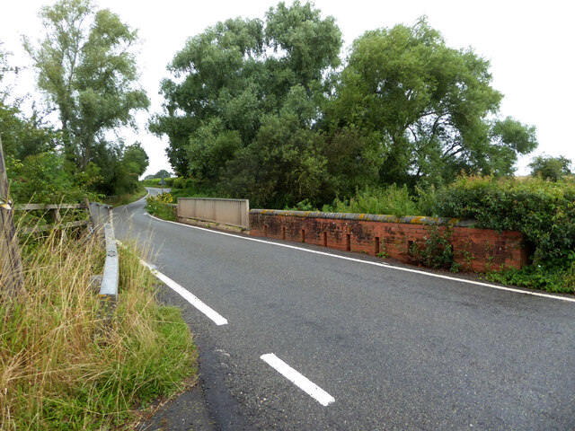
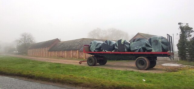
Little Wood is a small village located in the county of Gloucestershire, England. Situated within the expansive Forest of Dean, Little Wood is surrounded by dense woodland and is known for its picturesque natural beauty. The village is located approximately 5 miles west of the town of Coleford and is easily accessible by road.

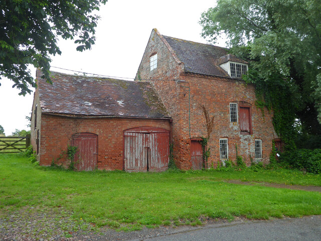
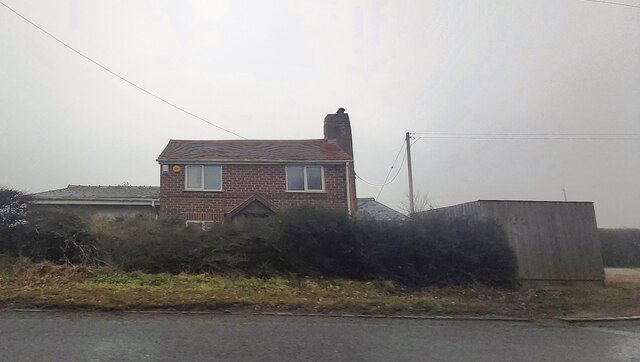
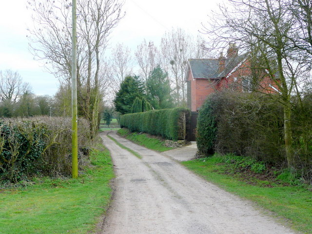
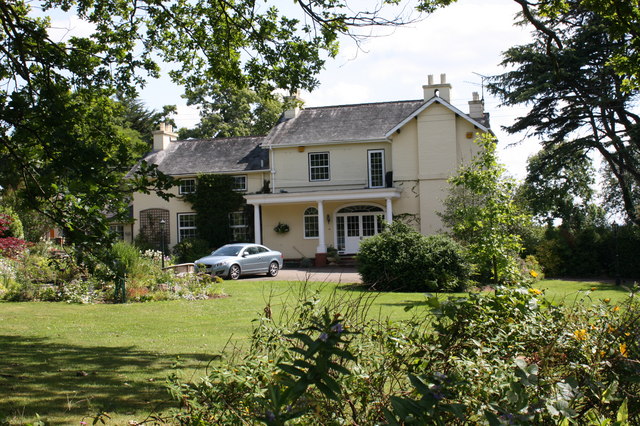
The village itself is characterized by its charming, traditional cottages, many of which date back several centuries. The architecture in Little Wood is predominantly of a rural, vernacular style, with timber-framed buildings and thatched roofs adding to the area's rustic charm.

The main focal point of the village is the local pub, which serves as a community hub and gathering place for locals and visitors alike. The pub offers a warm and welcoming atmosphere, with traditional pub food and a selection of locally brewed ales.

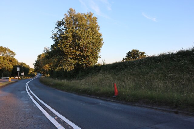
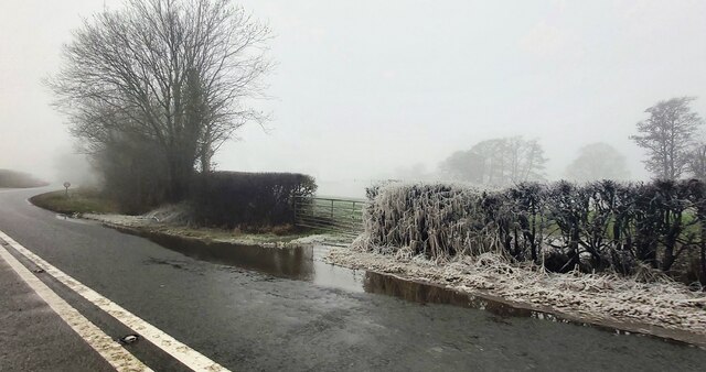
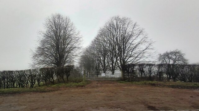
Little Wood is a popular destination for outdoor enthusiasts, with an abundance of walking and cycling trails that wind through the surrounding woodlands. The Forest of Dean itself offers a diverse range of wildlife and is home to several rare plant species.

The village also benefits from its close proximity to other attractions in the Forest of Dean, including the Clearwell Caves and Puzzlewood, a mystical ancient woodland. Visitors to Little Wood can also explore nearby towns and villages, such as Coleford and Symonds Yat, which offer a range of amenities and attractions.

Overall, Little Wood is a charming village nestled within the Forest of Dean, offering a tranquil retreat for nature lovers and those seeking a peaceful escape in the heart of Gloucestershire.

If you have any feedback on the listing, please let us know in the comments section below.
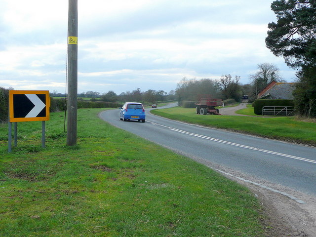
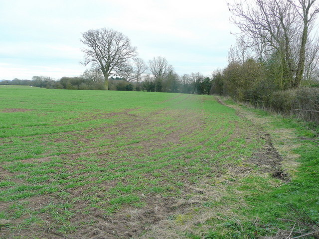
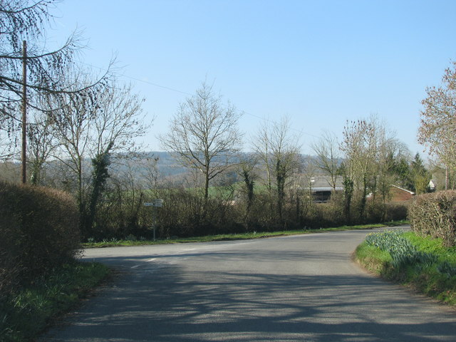
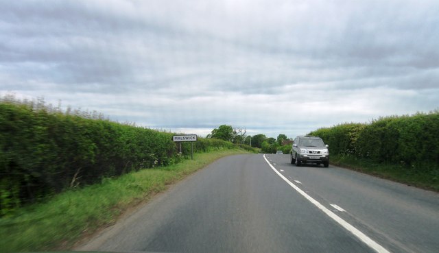
Little Wood Images

Images are sourced within 2km of 51.936547/-2.3593163 or Grid Reference SO7526. Thanks to Geograph Open Source API. All images are credited.

Upleadon Mill A disused watermill that still retains some machinery and has a wheel thought to be a Poncelet design. Unfortunately the wheel is so overgrown that it is barely visible. It might be clearer in the winter.
Upleadon Mill
A disused watermill that still retains some machinery and has a wheel thought to be a Poncelet design. Unfortunately the wheel is so overgrown that it is barely visible. It might be clearer in the winter.
Road over the River Leadon Upleadon Mill is hidden behind the trees to the right of the road.
Road over the River Leadon
Upleadon Mill is hidden behind the trees to the right of the road.
St Mary the Virgin Church, Upleadon
Upleadon Court
Upleadon Court
The B4215, Malswick
The B4215, Malswick
Rymes Place Farm
Rymes Place Farm
Frozen Hedge at Malswick Mill
House near Malswick
House near Malswick
Entrance gates of Solar Farm
Upleadon - Church of St Mary
Track and footpath The Victorian house may have originated from the days when the nearby and defunct Newent Railway was built.
Track and footpath
The Victorian house may have originated from the days when the nearby and defunct Newent Railway was built.
B4215 at Malswick The road was realigned after the Newent Railway became redundant. the original road leading closely past Rymes Place Farm can be seen to the right.
B4215 at Malswick
The road was realigned after the Newent Railway became redundant. the original road leading closely past Rymes Place Farm can be seen to the right.
Arable land at Malswick Looking south from the B4215.
Arable land at Malswick
Looking south from the B4215.
Turning into Moat Lane
Malswick entrance sign
Upleadon Village, Detached dwelling Detached dwelling on the outskirts of Upleadon village, Gloucestershire.
Upleadon Village, Detached dwelling
Detached dwelling on the outskirts of Upleadon village, Gloucestershire.
Upleadon Crossroads Upleadon Crossroads, Gloucestershire. Note the Public telephone box. Most of these are disappearing due to the dominance of mobile phones.
Upleadon Crossroads
Upleadon Crossroads, Gloucestershire. Note the Public telephone box. Most of these are disappearing due to the dominance of mobile phones.
Upleadon Court Upleadon Court with Church - Note the timber framing within the church building.
Upleadon Court
Upleadon Court with Church - Note the timber framing within the church building.
Show me another place!

Little Wood is located at Grid Ref: SO7526 (Lat: 51.936547, Lng: -2.3593163)

Administrative County: Gloucestershire

District: Forest of Dean

Police Authority: Gloucestershire

What 3 Words

///plotter.unzips.done. Near Newent, Gloucestershire

Related Wikis

Upleadon

Upleadon is a village and civil parish situated 10.5 km north-west of Gloucester. Soon after the Norman conquest Upleadon became part of the estates of...

Collinpark Wood SSSI

Collinpark Wood (grid reference SO750278) is a 66.69-hectare (164.8-acre) biological Site of Special Scientific Interest in Gloucestershire, notified in...

Brand Green

Brand Green is a village in Gloucestershire, England. == References == == External links == Media related to Brand Green at Wikimedia Commons

Malswick Halt railway station

Malswick Halt was a request stop on the former Ledbury and Gloucester Railway. It opened on 1st February 1938 and was closed in 1959 when the line was...

Newent Town F.C.

Newent Town Association Football Club is a football club based in Newent, Gloucestershire, England. They were established in 1920. Affiliated to the Gloucestershire...

Okle Green

Okle Green is a village in Gloucestershire, England.

Newent

Newent (; originally called "Noent") is a market town and civil parish in the Forest of Dean in Gloucestershire, England. The town is 11 miles (18 km)...

Newent railway station

Newent railway station served the town of Newent in Gloucestershire, England. It opened on 27 July 1885 when the Newent Railway and the Ross and Ledbury...

Nearby Amenities

Located within 500m of 51.936547,-2.3593163
Upleadon
Is In: Gloucestershire, England, UK
Place: village
Lat/Long: 51.9396755/-2.3572157
Bus Stop
Hook's Ln
Naptan AtcoCode: 1600GL4963
Naptan Bearing: NW
Naptan CommonName: Hook's Ln
Naptan NaptanCode: gloaptgp
Naptan Street: Gloucester Rd
Naptan Verified: no
Source: naptan_import
Lat/Long: 51.9359061/-2.3560367
Bus Stop
Hook's Ln
Naptan AtcoCode: 1600GL4964
Naptan Bearing: SE
Naptan CommonName: Hook's Ln
Naptan Indicator: Opp
Naptan NaptanCode: gloaptgd
Naptan Street: Gloucester Rd
Naptan Verified: no
Source: naptan_import
Lat/Long: 51.9362831/-2.3562288
Glebe Farm
Landuse: farm
Note Retag: CS #48756035
Source: OS OpenData StreetView
Lat/Long: 51.9369152/-2.3563816
Upleadon Piggeries
Power: pole
Transformer: distribution
Voltage Primary: 11000
Lat/Long: 51.9373333/-2.3587883
Power: pole
Lat/Long: 51.9378609/-2.3584369
Power: pole
Lat/Long: 51.9384313/-2.357195
Glebe Farm Upleadon
Power: pole
Transformer: distribution
Voltage Primary: 11000
Lat/Long: 51.9370721/-2.3564976
Power: pole
Lat/Long: 51.9378344/-2.3564923
Power: pole
Lat/Long: 51.9386215/-2.3568222
Power: pole
Lat/Long: 51.9391225/-2.357018
Power: pole
Lat/Long: 51.93966/-2.3572513
Power: pole
Lat/Long: 51.9404933/-2.3570663
Upleadon School
Power: pole
Transformer: distribution
Voltage Primary: 11000
Lat/Long: 51.9399476/-2.3595809
Location Transition: yes
Power: pole
Lat/Long: 51.9407724/-2.3598309
Power: pole
Lat/Long: 51.9408364/-2.3583095
Power: pole
Lat/Long: 51.9404586/-2.3597203
Upleadon
Power: pole
Transformer: distribution
Voltage Primary: 11000
Lat/Long: 51.9406318/-2.3618487
Hooks Lane
Power: pole
Transformer: distribution
Voltage Primary: 11000
Lat/Long: 51.934871/-2.3626184
Power: pole
Lat/Long: 51.934833/-2.3638536
Power: pole
Lat/Long: 51.9347958/-2.3651209
The data included in this document is from www.openstreetmap.org. The data is made available under ODbL.

Have you been to Little Wood?

Leave your review of Little Wood below (or comments, questions and feedback).