Upleadon
Civil Parish in Gloucestershire Forest of Dean
England
Upleadon
Upleadon is a civil parish located in the county of Gloucestershire, in the southwestern part of England. It is situated approximately 6 miles northwest of the city of Gloucester and lies within the Forest of Dean district. The parish covers an area of around 7.5 square kilometers and is home to a small population of around 300 residents.
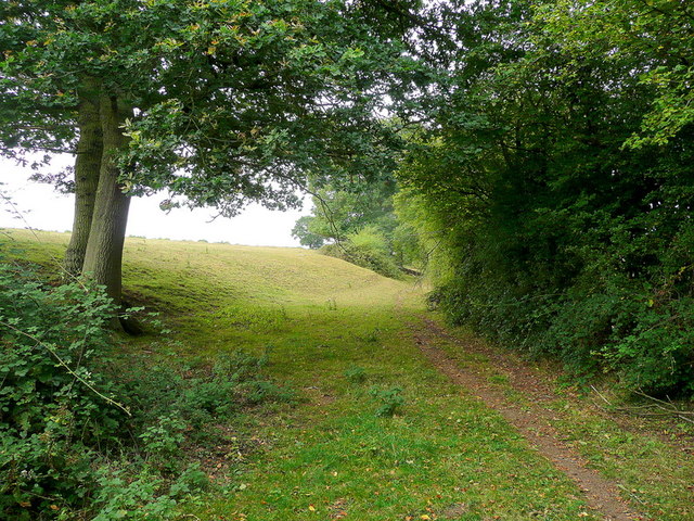
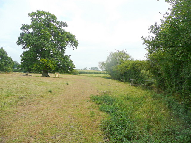
The landscape of Upleadon is predominantly rural, characterized by rolling hills, farmland, and pockets of woodland. The parish is surrounded by several other rural villages and hamlets, creating a close-knit community atmosphere. The nearby River Severn and its tributaries add to the natural beauty of the area.
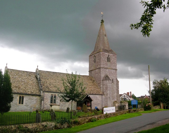
Upleadon boasts a rich history, with evidence of human settlements dating back to the Roman era. The village itself features a mix of traditional and more modern architecture, including a 12th-century church, St. Mary's, which is a prominent local landmark. The church is known for its striking Norman tower and beautiful stained glass windows.
Despite its small size, Upleadon benefits from a range of amenities and services that cater to the needs of its residents. These include a village hall, a primary school, and a local pub, which serves as a social hub for the community. The parish also enjoys easy access to the nearby city of Gloucester, where residents can find a wider range of facilities and opportunities.
Overall, Upleadon offers a picturesque and peaceful setting for those seeking a rural lifestyle within close proximity to urban amenities. Its rich history, natural beauty, and strong sense of community make it an attractive place to live or visit in Gloucestershire.
If you have any feedback on the listing, please let us know in the comments section below.
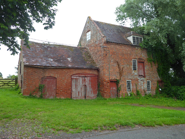
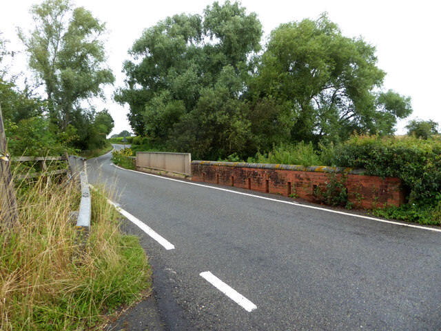
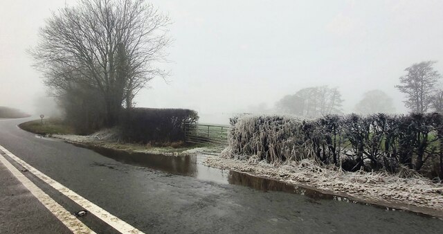
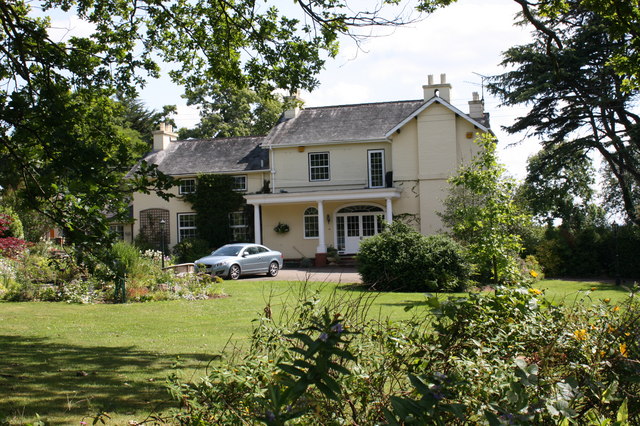
Upleadon Images
Images are sourced within 2km of 51.937402/-2.351927 or Grid Reference SO7526. Thanks to Geograph Open Source API. All images are credited.


Upleadon is located at Grid Ref: SO7526 (Lat: 51.937402, Lng: -2.351927)
Administrative County: Gloucestershire
District: Forest of Dean
Police Authority: Gloucestershire
What 3 Words
///present.diver.ambitions. Near Newent, Gloucestershire
Nearby Locations
Related Wikis

Upleadon
Upleadon is a village and civil parish situated 10.5 km north-west of Gloucester. Soon after the Norman conquest Upleadon became part of the estates of...

Collinpark Wood SSSI
Collinpark Wood (grid reference SO750278) is a 66.69-hectare (164.8-acre) biological Site of Special Scientific Interest in Gloucestershire, notified in...

Brand Green
Brand Green is a village in Gloucestershire, England. == References == == External links == Media related to Brand Green at Wikimedia Commons

Okle Green
Okle Green is a village in Gloucestershire, England.

Malswick Halt railway station
Malswick Halt was a request stop on the former Ledbury and Gloucester Railway. It opened on 1st February 1938 and was closed in 1959 when the line was...
Newent Town F.C.
Newent Town Association Football Club is a football club based in Newent, Gloucestershire, England. They were established in 1920. Affiliated to the Gloucestershire...
Corse, Gloucestershire
Corse is a village in the English county of Gloucestershire, next to the village of Staunton. The parish lies on the tongue of land between the River Severn...

Newent
Newent (; originally called "Noent") is a market town and civil parish in the Forest of Dean in Gloucestershire, England. The town is 11 miles (18 km)...
Nearby Amenities
Located within 500m of 51.937402,-2.351927Have you been to Upleadon?
Leave your review of Upleadon below (or comments, questions and feedback).