Sheep Path Wood

Wood, Forest in Gloucestershire Stroud

England

Sheep Path Wood

Parade of shops, Kingshill Parade, Kingshill Road, Dursley, Glos A parade of shops located next to the Oak at Kingshill public house/restaurant. The parade includes takeaways.
Parade of shops, Kingshill Parade, Kingshill Road, Dursley, Glos Credit: P L Chadwick

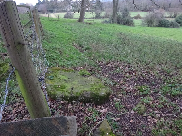
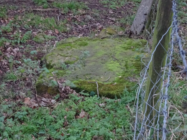
Sheep Path Wood is a picturesque forest located in Gloucestershire, England. Covering an area of approximately 50 acres, this woodland is a popular destination for nature enthusiasts and hikers alike. The wood is situated on the outskirts of the village of Woolaston, offering visitors a peaceful and tranquil setting to explore.

The forest is characterized by a dense canopy of trees, primarily consisting of oak, beech, and ash. These towering trees provide ample shade and create a rich, diverse ecosystem within the wood. The forest floor is covered in a lush carpet of ferns, mosses, and wildflowers, offering a vibrant and colorful display throughout the seasons.

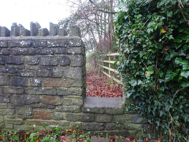
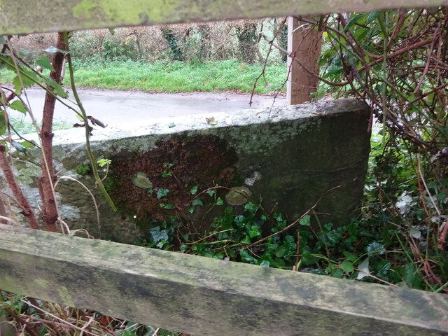
Sheep Path Wood is intersected by a network of well-maintained walking paths, allowing visitors to conveniently explore the area. One of the main trails is the Sheep Path, which winds its way through the forest and offers stunning views of the surrounding countryside. The wood is also home to a variety of wildlife, including deer, squirrels, and a wide array of bird species, making it an excellent spot for birdwatching enthusiasts.

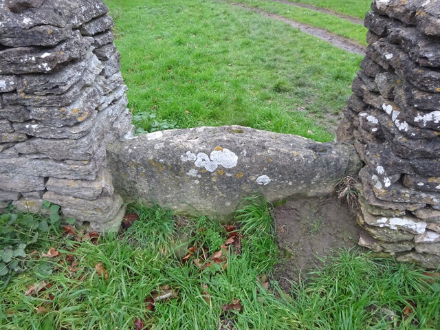
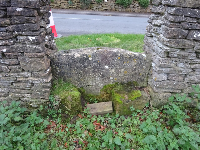
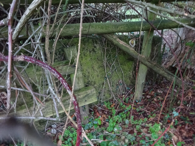
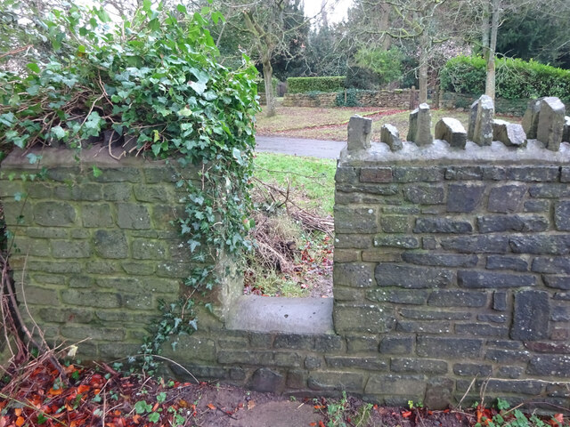
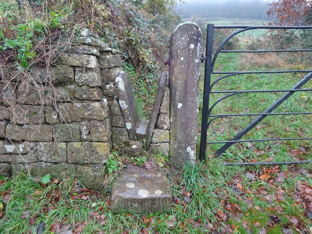
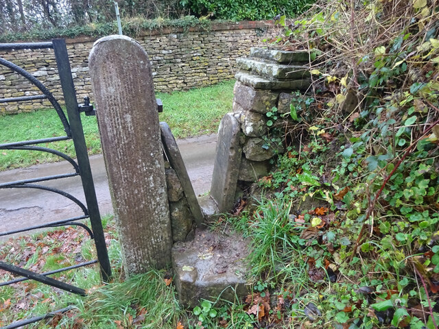
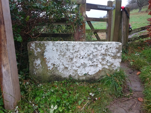
In addition to its natural beauty, Sheep Path Wood also holds historical significance. It is believed that the wood was once part of an ancient hunting ground, dating back to medieval times. Today, remnants of old stone walls and boundaries can still be seen, adding to the charm and allure of the woodland.

Overall, Sheep Path Wood in Gloucestershire offers visitors a delightful blend of natural beauty, tranquility, and historical significance, making it a must-visit destination for nature lovers and history enthusiasts alike.

If you have any feedback on the listing, please let us know in the comments section below.

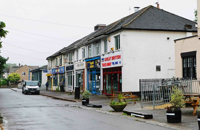
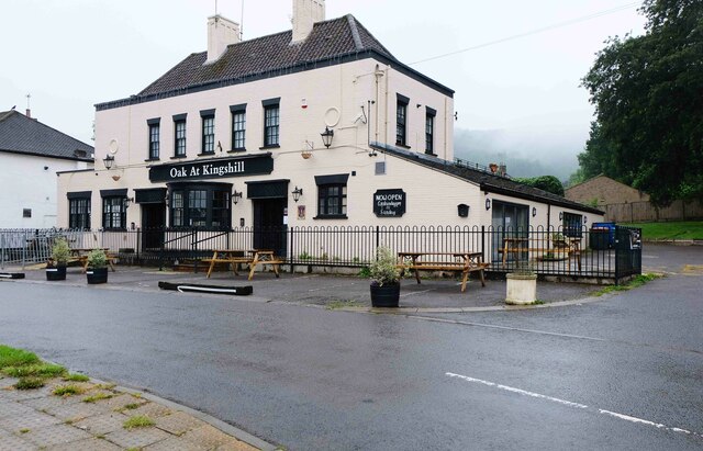
Sheep Path Wood Images

Images are sourced within 2km of 51.687756/-2.368408 or Grid Reference ST7498. Thanks to Geograph Open Source API. All images are credited.

Parade of shops, Kingshill Parade, Kingshill Road, Dursley, Glos A parade of shops located next to the Oak at Kingshill public house/restaurant. The parade includes takeaways.
Parade of shops, Kingshill Parade, Kingshill Road, Dursley, Glos
A parade of shops located next to the Oak at Kingshill public house/restaurant. The parade includes takeaways.
Oak at Kingshill (1), 2 Kingshill Road, Dursley, Glos A family run public house and restaurant. In the past it has been known as Ranchers Steakhouse and Kingshill Inn.

<a href="https://www.geograph.org.uk/photo/6925336">ST7598 : Oak at Kingshill (2) - sign, 2 Kingshill Road, Dursley, Glos</a>.
<a href="https://www.geograph.org.uk/photo/6925351">ST7598 : Oak at Kingshill (3) - outbuilding, 2 Kingshill Road, Dursley, Glos</a>.
Oak at Kingshill (1), 2 Kingshill Road, Dursley, Glos
A family run public house and restaurant. In the past it has been known as Ranchers Steakhouse and Kingshill Inn. ST7598 : Oak at Kingshill (2) - sign, 2 Kingshill Road, Dursley, Glos. ST7598 : Oak at Kingshill (3) - outbuilding, 2 Kingshill Road, Dursley, Glos.
Oak at Kingshill (2) - sign, 2 Kingshill Road, Dursley, Glos The sign shows a black and white drawing of the building. It is set on a post near the main road.

<a href="https://www.geograph.org.uk/photo/6925328">ST7598 : Oak at Kingshill (1), 2 Kingshill Road, Dursley, Glos</a>.
<a href="https://www.geograph.org.uk/photo/6925351">ST7598 : Oak at Kingshill (3) - outbuilding, 2 Kingshill Road, Dursley, Glos</a>.
Oak at Kingshill (2) - sign, 2 Kingshill Road, Dursley, Glos
The sign shows a black and white drawing of the building. It is set on a post near the main road. ST7598 : Oak at Kingshill (1), 2 Kingshill Road, Dursley, Glos. ST7598 : Oak at Kingshill (3) - outbuilding, 2 Kingshill Road, Dursley, Glos.
Oak at Kingshill (3) - outbuilding, 2 Kingshill Road, Dursley, Glos This outbuilding is to be found in the car park of the Oak at Kingshill public house and restaurant. At a guess, and that is all it can be, it might just be an icehouse. Before refrigerators were invented, icehouses were built to store ice and insulating materials. Often the main purpose was to store foods or to keep drinks cool. 

<a href="https://www.geograph.org.uk/photo/6925328">ST7598 : Oak at Kingshill (1), 2 Kingshill Road, Dursley, Glos</a>.
<a href="https://www.geograph.org.uk/photo/6925336">ST7598 : Oak at Kingshill (2) - sign, 2 Kingshill Road, Dursley, Glos</a>.
Oak at Kingshill (3) - outbuilding, 2 Kingshill Road, Dursley, Glos
This outbuilding is to be found in the car park of the Oak at Kingshill public house and restaurant. At a guess, and that is all it can be, it might just be an icehouse. Before refrigerators were invented, icehouses were built to store ice and insulating materials. Often the main purpose was to store foods or to keep drinks cool. ST7598 : Oak at Kingshill (1), 2 Kingshill Road, Dursley, Glos. ST7598 : Oak at Kingshill (2) - sign, 2 Kingshill Road, Dursley, Glos.
Dursley Methodist church Dates from 1864 <span class="nowrap"><a title="https://historicengland.org.uk/listing/the-list/list-entry/1219963" rel="nofollow ugc noopener" href="https://historicengland.org.uk/listing/the-list/list-entry/1219963">Link</a><img style="margin-left:2px;" alt="External link" title="External link - shift click to open in new window" src="https://s1.geograph.org.uk/img/external.png" width="10" height="10"/></span>
Dursley Methodist church
Dates from 1864 LinkExternal link
11 Woodmancote, Dursley A distinguished house of the early to mid eighteenth century <span class="nowrap"><a title="https://historicengland.org.uk/listing/the-list/list-entry/1220809" rel="nofollow ugc noopener" href="https://historicengland.org.uk/listing/the-list/list-entry/1220809">Link</a><img style="margin-left:2px;" alt="External link" title="External link - shift click to open in new window" src="https://s1.geograph.org.uk/img/external.png" width="10" height="10"/></span>
11 Woodmancote, Dursley
A distinguished house of the early to mid eighteenth century LinkExternal link
Stone Stile, Stinchcombe On Clingre Farm, the stone has fallen and stile de-commissioned. Looking SSW, the view NNW is <a href="https://www.geograph.org.uk/photo/7042568">ST7299 : Stone Stile, Stinchcombe</a>.
Stone Stile, Stinchcombe
On Clingre Farm, the stone has fallen and stile de-commissioned. Looking SSW, the view NNW is ST7299 : Stone Stile, Stinchcombe.
Stone Stile, Stinchcombe On Clingre Farm, the stone has fallen and stile de-commissioned. Looking NNE, the view SSW is <a href="https://www.geograph.org.uk/photo/7042560">ST7299 : Stone Stile, Stinchcombe</a>.
Stone Stile, Stinchcombe
On Clingre Farm, the stone has fallen and stile de-commissioned. Looking NNE, the view SSW is ST7299 : Stone Stile, Stinchcombe.
Stone Stile, Stinchcombe Looking NW from the B4060, "The Street", into the Rugby Field. The view SE is <a href="https://www.geograph.org.uk/photo/7042603">ST7399 : Stone Stile, Stinchcombe</a>. The stile is adjacent to Stinchcombe Village Hall.
Stone Stile, Stinchcombe
Looking NW from the B4060, "The Street", into the Rugby Field. The view SE is ST7399 : Stone Stile, Stinchcombe. The stile is adjacent to Stinchcombe Village Hall.
Stone Stile, Stinchcombe Looking SE to the B4060, "The Street", from the Rugby Field. The view NW is <a href="https://www.geograph.org.uk/photo/7042602">ST7399 : Stone Stile, Stinchcombe</a>. The stile is adjacent to Stinchcombe Village Hall.
Stone Stile, Stinchcombe
Looking SE to the B4060, "The Street", from the Rugby Field. The view NW is ST7399 : Stone Stile, Stinchcombe. The stile is adjacent to Stinchcombe Village Hall.
Stone Stile, Stinchcombe In a field South of the parish church. The stone slab is very much obscured by the brambles and the hedge. This is looking North into the hedge, the view East from the gateway looking into the hedge is <a href="https://www.geograph.org.uk/photo/7150843">ST7298 : Stone Stile, Stinchcombe</a>. On Gloucestershire footpath CST32.
Stone Stile, Stinchcombe
In a field South of the parish church. The stone slab is very much obscured by the brambles and the hedge. This is looking North into the hedge, the view East from the gateway looking into the hedge is ST7298 : Stone Stile, Stinchcombe. On Gloucestershire footpath CST32.
Stone Stile, Stinchcombe Modern interpretation of the stone stile. This is looking NE to the drive. The view looking out is <a href="https://www.geograph.org.uk/photo/7043421">ST7298 : Stone Stile, Stinchcombe</a>.
Stone Stile, Stinchcombe
Modern interpretation of the stone stile. This is looking NE to the drive. The view looking out is ST7298 : Stone Stile, Stinchcombe.
Stone Stile, Stinchcombe Modern interpretation of the stone stile. This is looking out from the drive. The view looking in is <a href="https://www.geograph.org.uk/photo/7043419">ST7298 : Stone Stile, Stinchcombe</a>.
Stone Stile, Stinchcombe
Modern interpretation of the stone stile. This is looking out from the drive. The view looking in is ST7298 : Stone Stile, Stinchcombe.
Stone Stile, Stinchcombe Looking from Park Lane. The view looking out is <a href="https://www.geograph.org.uk/photo/7043435">ST7397 : Stone Stile, Stinchcombe</a>.
Stone Stile, Stinchcombe
Looking from Park Lane. The view looking out is ST7397 : Stone Stile, Stinchcombe.
Stone Stile, Stinchcombe Looking out to Park Lane. The view looking in is <a href="https://www.geograph.org.uk/photo/7043434">ST7397 : Stone Stile, Stinchcombe</a>.
Stone Stile, Stinchcombe
Looking out to Park Lane. The view looking in is ST7397 : Stone Stile, Stinchcombe.
Stone Stile, Stinchcombe On the Cotswold Way, off Park Lane  looking North. The view South is <a href="https://www.geograph.org.uk/photo/7043443">ST7497 : Stone Stile, Stinchcombe</a>.
Stone Stile, Stinchcombe
On the Cotswold Way, off Park Lane looking North. The view South is ST7497 : Stone Stile, Stinchcombe.
Stone Stile, Stinchcombe On the Cotswold Way, looking South to Park Lane. The view North is <a href="https://www.geograph.org.uk/photo/7043442">ST7497 : Stone Stile, Stinchcombe</a>.
Stone Stile, Stinchcombe
On the Cotswold Way, looking South to Park Lane. The view North is ST7497 : Stone Stile, Stinchcombe.
Carpenters Arms (1), 32 Uley Road, Dursley, Glos Traditional public house which, according to the WhatPub website, currently offers real cider but no cask ales.

<a href="https://www.geograph.org.uk/photo/7053588">ST7697 : Carpenters Arms (2) - sign, 32 Uley Road, Dursley, Glos</a>.
Carpenters Arms (1), 32 Uley Road, Dursley, Glos
Traditional public house which, according to the WhatPub website, currently offers real cider but no cask ales. ST7697 : Carpenters Arms (2) - sign, 32 Uley Road, Dursley, Glos.
Show me another place!

Sheep Path Wood is located at Grid Ref: ST7498 (Lat: 51.687756, Lng: -2.368408)

Administrative County: Gloucestershire

District: Stroud

Police Authority: Gloucestershire

What 3 Words

///adopt.diplomat.sleepers. Near Dursley, Gloucestershire

Related Wikis

Rednock School

Rednock School is a comprehensive school located in Dursley, Gloucestershire, England. It is a specialist Science College which also contains a sixth form...

Vale Community Hospital

Vale Community Hospital is a community hospital in Lister Road, Dursley, Gloucestershire, England. It is managed by Gloucestershire Health and Care NHS...

Old Spot Inn

The Old Spot Inn is a pub in Dursley, Gloucestershire, England. It was CAMRA's National Pub of the Year for 2007. == References == == External links... ==

Cam Congregational Church

Cam Congregational Church in the village of Upper Cam near the market town of Dursley, Gloucestershire. Founded in 1662, and originally known as Cam Independent...

Stinchcombe

Stinchcombe is a small village and civil parish in Gloucestershire, England on the B4060 road between Dursley and North Nibley. The church is called St...

Parish Church of St George

The Parish Church of St George (Church of England) in the village of Cam, Gloucestershire, is an Anglican establishment situated in a slightly elevated...

Dursley Town Hall

Dursley Town Hall, also known as Dursley Market Hall, is a municipal building in the Market Place, Dursley, Gloucestershire, England. The structure, which...

Dursley

Dursley is a market town and civil parish in the Stroud District of Gloucestershire, England. It lies between the cities of Bristol and Gloucester. It...

Nearby Amenities

Located within 500m of 51.687756,-2.368408
Bus Stop
Lambsdowne
Bench: no
Naptan AtcoCode: 1600GLS034
Naptan Bearing: NW
Naptan CommonName: Lambsdowne
Naptan Indicator: Opp
Naptan NaptanCode: gloapdwj
Naptan Street: Durslet Rd
Naptan Verified: no
Shelter: no
Source: naptan_import
Tactile Paving: no
Lat/Long: 51.6922387/-2.3689509
Bus Stop
Police Station & Courts
Bench: no
Bin: no
Lit: yes
Naptan AtcoCode: 1600GLS035
Naptan Bearing: SE
Naptan CommonName: Police Station & Courts
Naptan NaptanCode: gloapjdw
Naptan Street: Kingshill Rd
Naptan Verified: no
Shelter: no
Source: naptan_import
Tactile Paving: no
Lat/Long: 51.6902517/-2.3631191
Bus Stop
Police Station & Courts
Bench: no
Bin: yes
Lit: yes
Naptan AtcoCode: 1600GLS036
Naptan Bearing: NW
Naptan CommonName: Police Station & Courts
Naptan Indicator: Opp
Naptan NaptanCode: gloapjdj
Naptan Street: Kingshill Rd
Naptan Verified: no
Shelter: no
Source: naptan_import
Tactile Paving: no
Lat/Long: 51.6900715/-2.3632478
Fixme: Where do I go
Lat/Long: 51.6888269/-2.3684804
Fixme: any connection here? public or private?
Lat/Long: 51.6885609/-2.3620564
Mini Roundabout
Direction: clockwise
Source: survey
Lat/Long: 51.6892045/-2.3618185
Place Of Worship
St Dominics
Denomination: catholic
Religion: christian
Lat/Long: 51.6882769/-2.3626112
Telephone
Booth: KX100
Covered: booth
Mapillary: 480243363192164
Operator: BT
Survey Date: 2019-05-10
Lat/Long: 51.688832/-2.361486
Post Box
Collection Times: Mo-Fr 16:00; Sa 07:00; Su off
Drive Through: no
Operator: Royal Mail
Post Box Type: pillar
Ref: GL11 32
Royal Cypher: EIIR
Royal Cypher Wikidata: Q33102113
Source: survey
Lat/Long: 51.6884676/-2.3613297
Barrier: stile
Foot: yes
Material: metal
Stile: squeezer
Lat/Long: 51.6851284/-2.3636143
Barrier: stile
Fixme: Stile shouldn't be on a junction - which path is it on?
Foot: yes
Material: wood
Stile: stepover
Lat/Long: 51.6911254/-2.3658547
Kingshill News & Booze
Addr City: Dursley
Addr Housenumber: 16
Addr Postcode: GL11 4EJ
Addr Street: Kingshill Road
Fhrs Authority: Stroud
Fhrs Id: 154415
Shop: alcohol
Source: survey;https://ratings.food.gov.uk/OpenDataFiles/FHRS128en-GB.xml
Lat/Long: 51.6884475/-2.3613757
Disused Shop: yes
Source: survey
Lat/Long: 51.6884915/-2.3614318
Fast Food
Great British Takeaway
Addr Country: GB
Addr Housenumber: 4
Addr Postcode: GL11 4EJ
Addr Street: Kingshill Road
Addr Town: Dursley
Cuisine: fish_and_chips
Drive Through: no
Fhrs Id: 154095
Indoor Seating: no
Outdoor Seating: no
Takeaway: only
Lat/Long: 51.6887199/-2.3617088
Fast Food
Kingshill Takeaway
Addr Country: GB
Addr Housenumber: 6
Addr Postcode: GL11 4EJ
Addr Street: Kingshill Road
Addr Town: Dursley
Diet Vegan: yes
Diet Vegetarian: yes
Drive Through: no
Fhrs Id: 1210609
Indoor Seating: no
Opening Hours: We,Th,Su,Mo 17:00-22:00; Fr,Sa 17:00-22:30
Outdoor Seating: no
Takeaway: only
Lat/Long: 51.6886684/-2.3616482
Golf: tee
Tee: white
Lat/Long: 51.6853198/-2.3723924
Golf: tee
Tee: red
Lat/Long: 51.6847131/-2.3724866
Golf: tee
Tee: red
Lat/Long: 51.6877867/-2.3692596
Golf: tee
Tee: white
Lat/Long: 51.6880802/-2.3691872
Bench
Backrest: yes
Material: wood
Lat/Long: 51.6880266/-2.3722677
Bench
Backrest: yes
Material: wood
Lat/Long: 51.6874142/-2.3728243
Bench
Backrest: yes
Material: wood
Lat/Long: 51.6870559/-2.3729369
Golf: tee
Lat/Long: 51.6886954/-2.3710942
Bench
Backrest: yes
Material: wood
Lat/Long: 51.688594/-2.37129
Golf: tee
Tee: red
Lat/Long: 51.685891/-2.3728484
Golf: tee
Tee: white
Lat/Long: 51.685704/-2.3731756
Bench
Backrest: yes
Material: wood
Lat/Long: 51.685526/-2.3731703
Bench
Backrest: yes
Material: wood
Lat/Long: 51.6854994/-2.3723321
Bench
Backrest: yes
Material: wood
Lat/Long: 51.6854445/-2.3720773
Golf: tee
Tee: red
Lat/Long: 51.684278/-2.3697806
Golf: tee
Tee: white
Lat/Long: 51.6844884/-2.3700562
Bench
Backrest: yes
Material: metal
Lat/Long: 51.6876212/-2.3690383
Golf: tee
Lat/Long: 51.686148/-2.3701367
Waste Basket
Waste: dog_excrement
Lat/Long: 51.6921423/-2.3682748
Bench
Backrest: yes
Material: wood
Lat/Long: 51.6894719/-2.374537
Material: wood
Power: pole
Lat/Long: 51.6874496/-2.3746674
Material: wood
Power: pole
Lat/Long: 51.6882393/-2.3750642
Material: wood
Power: pole
Lat/Long: 51.6886131/-2.3752532
Fast Food
Domino's
Brand: Domino's
Brand Wikidata: Q839466
Changing Table: no
Cuisine: pizza
Diet Vegan: yes
Diet Vegetarian: yes
Internet Access: no
Level: 0
Opening Hours: Mo-Su 11:00-23:00
Takeaway: only
Toilets: no
Website: https://www.dominos.co.uk/pizza-near-me/dursley/12-14-kingshill-road
Wheelchair: yes
Lat/Long: 51.6885334/-2.3614845
Divine Beauty
Shop: beauty
Lat/Long: 51.68858/-2.3615421
Disused Amenity: atm
Fee: yes
Opening Hours: 24/7
Lat/Long: 51.6886988/-2.3616364
Atm
Cash In: no
Fee: yes
Indoor: yes
Lat/Long: 51.6884282/-2.3614013
Fast Food
Kings Garden
Alt Name: King's Garden
Changing Table: no
Cuisine: asian;chinese
Delivery: yes
Diet Vegan: yes
Diet Vegetarian: yes
Internet Access: no
Opening Hours: We,Th,Su,Mo 17:00-22:00; Fr,Sa 17:00-22:30
Payment Cash: yes
Payment Credit Cards: no
Payment Debit Cards: no
Takeaway: only
Toilets: no
Wheelchair: no
Lat/Long: 51.6886235/-2.3615949
Parcel Locker
Brand: InPost
Parcel Mail In: yes
Parcel Pickup: yes
Lat/Long: 51.6880613/-2.3615441
Noexit: yes
Lat/Long: 51.6878275/-2.3617784
Barrier: bollard
Bollard: removable
Hgv: delivery
Vehicle: private
Lat/Long: 51.6878477/-2.3615432
Fixme: any connection here? public or private?
Lat/Long: 51.688612/-2.3620096
Barrier: kerb
Tactile Paving: no
Wheelchair: no
Lat/Long: 51.6869951/-2.3743646
Access: permissive
Access Conditional: private @ (17:30-10:00)
Barrier: stile
Stile: squeezer
Vehicle: private
Wheelchair: no
Lat/Long: 51.6886015/-2.3738023
The data included in this document is from www.openstreetmap.org. The data is made available under ODbL.

Have you been to Sheep Path Wood?

Leave your review of Sheep Path Wood below (or comments, questions and feedback).