Cockshoot Wood
Wood, Forest in Gloucestershire Stroud
England
Cockshoot Wood
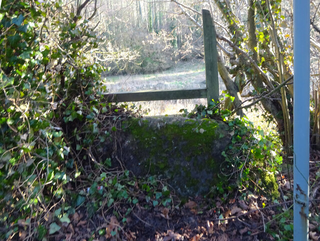
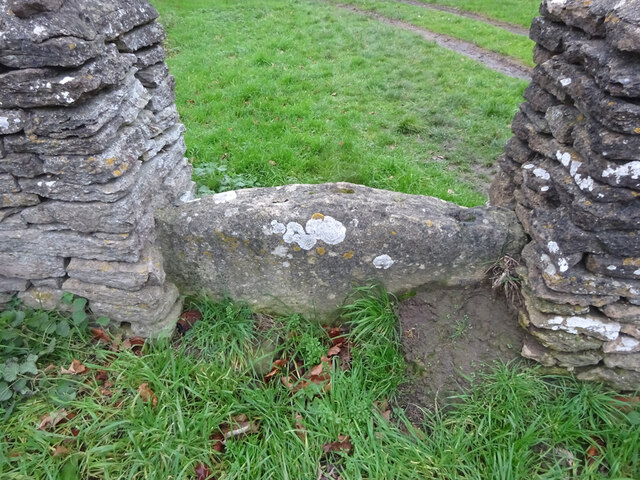
Cockshoot Wood is a picturesque woodland located in the county of Gloucestershire, England. Covering an area of approximately 50 hectares, this ancient forest is a haven for nature enthusiasts and wildlife alike.
The wood is predominantly made up of broadleaf trees, including oak, ash, beech, and birch. These towering trees create a dense canopy overhead, providing a cool and tranquil atmosphere within the woodland. The forest floor is covered in a thick layer of leaf litter, creating a natural carpet that supports a diverse range of plant species.
One of the most notable features of Cockshoot Wood is its rich biodiversity. The woodland provides a habitat for a wide variety of wildlife, including deer, badgers, foxes, and numerous bird species. It is also home to a number of rare and protected species, such as the lesser spotted woodpecker and the dormouse.
The wood offers several walking trails, allowing visitors to explore its beauty at their own pace. These paths wind through the forest, passing by ancient trees and offering glimpses of the wildlife that call this place home. The peaceful ambiance and stunning natural beauty make Cockshoot Wood a popular destination for walkers, photographers, and nature lovers.
Managed by the local authorities, Cockshoot Wood is well-preserved and cared for. It is a designated Site of Special Scientific Interest (SSSI) due to its ecological importance. The wood also plays a vital role in maintaining the area's biodiversity and acts as a vital link in the wider network of woodlands in Gloucestershire.
If you have any feedback on the listing, please let us know in the comments section below.
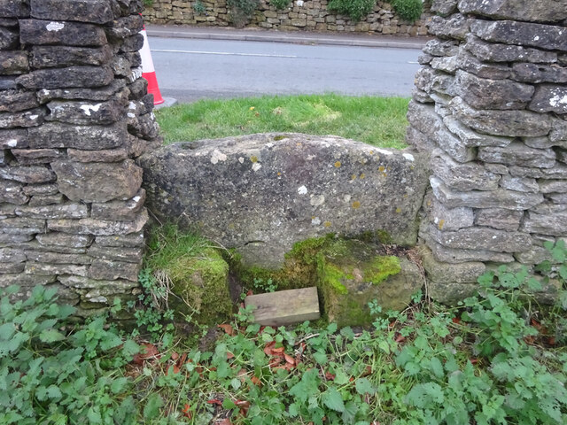
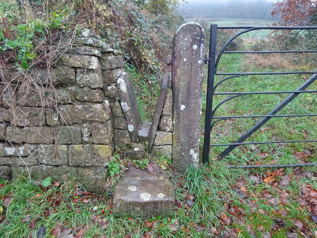
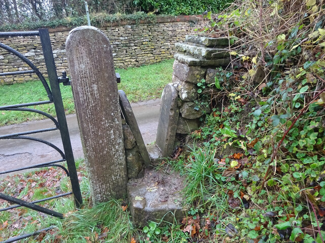
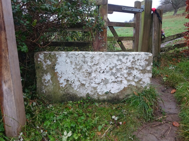
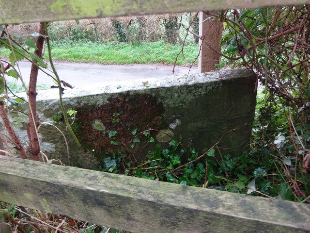
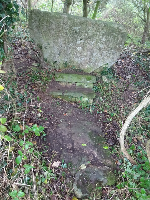
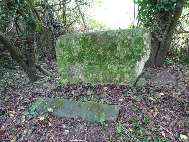
Cockshoot Wood Images
Images are sourced within 2km of 51.682214/-2.3636912 or Grid Reference ST7498. Thanks to Geograph Open Source API. All images are credited.
Cockshoot Wood is located at Grid Ref: ST7498 (Lat: 51.682214, Lng: -2.3636912)
Administrative County: Gloucestershire
District: Stroud
Police Authority: Gloucestershire
What 3 Words
///examples.challenge.abruptly. Near Dursley, Gloucestershire
Nearby Locations
Related Wikis

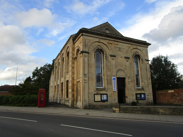
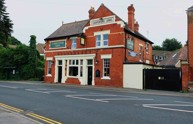
Old Spot Inn
The Old Spot Inn is a pub in Dursley, Gloucestershire, England. It was CAMRA's National Pub of the Year for 2007. == References == == External links... ==

Dursley Town Hall
Dursley Town Hall, also known as Dursley Market Hall, is a municipal building in the Market Place, Dursley, Gloucestershire, England. The structure, which...

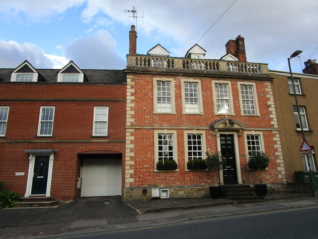
Dursley
Dursley is a market town and civil parish in the Stroud District of Gloucestershire, England. It lies between the cities of Bristol and Gloucester. It...

Rednock School
Rednock School is a comprehensive school located in Dursley, Gloucestershire, England. It is a specialist Science College which also contains a sixth form...

Lister Hall
For the student hall of residence in Alberta, Canada, also known as Lister Hall, see Lister Centre. Lister Hall is a theatre, in Dursley, Gloucestershire...

Dursley railway station
Dursley railway station served the town of Dursley in Gloucestershire, England, and was the terminus of the short Dursley and Midland Junction Railway...

Vale of Berkeley
The Vale of Berkeley (sometimes known as Berkeley Vale) is an area in Gloucestershire, England. It lies between the River Severn and the Cotswold Edge...
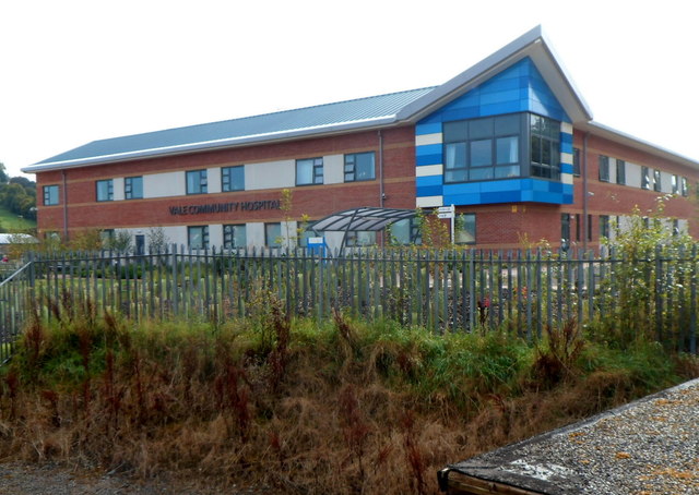
Vale Community Hospital
Vale Community Hospital is a community hospital in Lister Road, Dursley, Gloucestershire, England. It is managed by Gloucestershire Health and Care NHS...
Nearby Amenities
Located within 500m of 51.682214,-2.3636912Have you been to Cockshoot Wood?
Leave your review of Cockshoot Wood below (or comments, questions and feedback).