Boisley Wood

Wood, Forest in Gloucestershire Stroud

England

Boisley Wood

Parade of shops, Kingshill Parade, Kingshill Road, Dursley, Glos A parade of shops located next to the Oak at Kingshill public house/restaurant. The parade includes takeaways.
Parade of shops, Kingshill Parade, Kingshill Road, Dursley, Glos Credit: P L Chadwick

Boisley Wood is a picturesque forest located in the county of Gloucestershire, England. Nestled in the heart of the beautiful Cotswolds region, this woodland area covers a vast expanse of approximately 500 acres. Surrounded by rolling hills and scenic landscapes, Boisley Wood is a popular destination for nature enthusiasts, hikers, and wildlife lovers.

The forest is predominantly composed of broadleaf trees, including oak, beech, and birch, which create a lush and vibrant canopy overhead. This diverse woodland habitat provides a sanctuary for a wide range of flora and fauna, making it a haven for biodiversity. Visitors can expect to encounter a plethora of wildlife species, such as deer, foxes, badgers, and a variety of bird species.

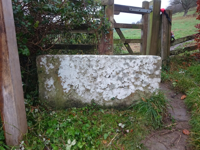
Boisley Wood offers a network of well-maintained footpaths and trails, allowing visitors to explore the forest at their own pace. These paths wind through the dense woodland, offering breathtaking views of the surrounding countryside. The forest also features picnic areas and benches, providing opportunities for visitors to relax and immerse themselves in the tranquil ambiance.

In addition to its natural beauty, Boisley Wood boasts a rich history. It is believed that the forest has been in existence for centuries, serving as a vital resource for timber and fuel in the past. Today, it stands as an important conservation area, managed by the local authorities to preserve its ecological significance.

With its serene atmosphere, abundant wildlife, and stunning landscapes, Boisley Wood is a true gem of Gloucestershire. Whether you are seeking a peaceful retreat amidst nature or an adventure through enchanting woodlands, this forest offers a memorable experience for all who visit.

If you have any feedback on the listing, please let us know in the comments section below.
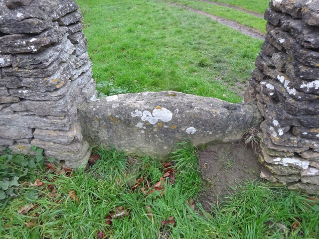
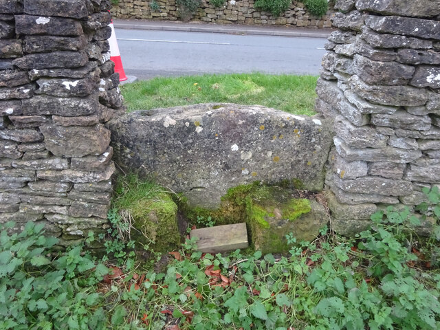
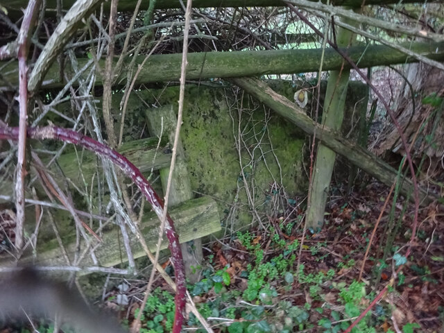
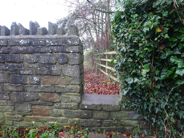
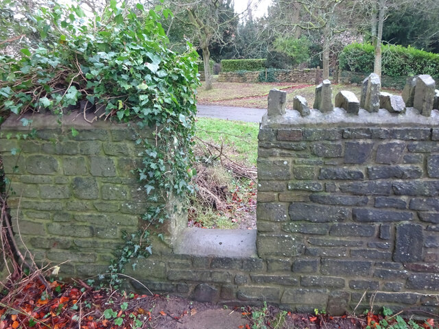
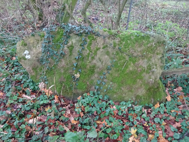
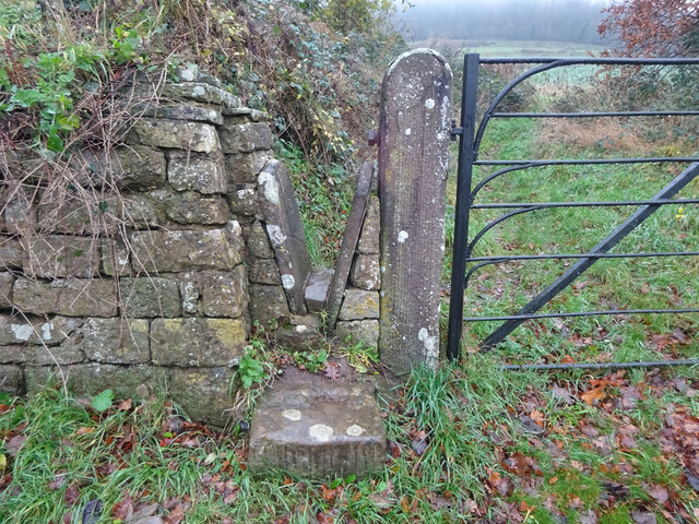
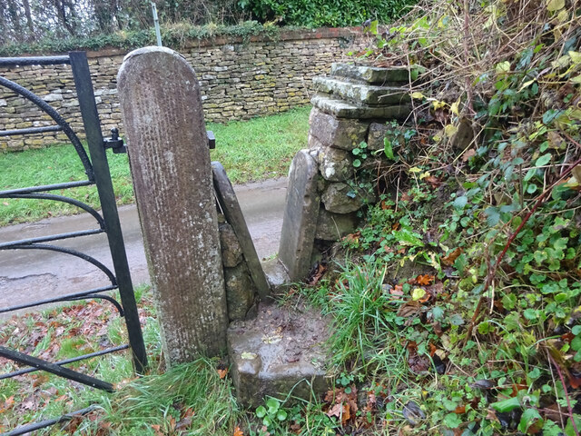
Boisley Wood Images

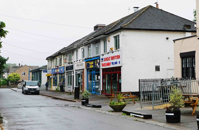
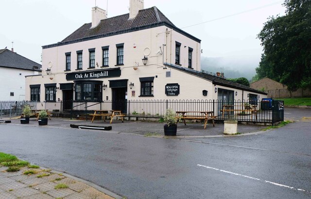
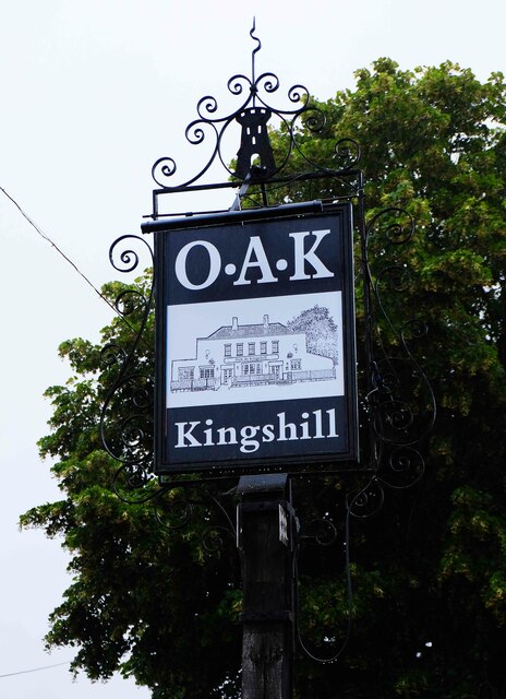
Images are sourced within 2km of 51.6813/-2.3770049 or Grid Reference ST7498. Thanks to Geograph Open Source API. All images are credited.

Parade of shops, Kingshill Parade, Kingshill Road, Dursley, Glos A parade of shops located next to the Oak at Kingshill public house/restaurant. The parade includes takeaways.
Parade of shops, Kingshill Parade, Kingshill Road, Dursley, Glos
A parade of shops located next to the Oak at Kingshill public house/restaurant. The parade includes takeaways.
Oak at Kingshill (1), 2 Kingshill Road, Dursley, Glos A family run public house and restaurant. In the past it has been known as Ranchers Steakhouse and Kingshill Inn.

<a href="https://www.geograph.org.uk/photo/6925336">ST7598 : Oak at Kingshill (2) - sign, 2 Kingshill Road, Dursley, Glos</a>.
<a href="https://www.geograph.org.uk/photo/6925351">ST7598 : Oak at Kingshill (3) - outbuilding, 2 Kingshill Road, Dursley, Glos</a>.
Oak at Kingshill (1), 2 Kingshill Road, Dursley, Glos
A family run public house and restaurant. In the past it has been known as Ranchers Steakhouse and Kingshill Inn. ST7598 : Oak at Kingshill (2) - sign, 2 Kingshill Road, Dursley, Glos. ST7598 : Oak at Kingshill (3) - outbuilding, 2 Kingshill Road, Dursley, Glos.
Oak at Kingshill (2) - sign, 2 Kingshill Road, Dursley, Glos The sign shows a black and white drawing of the building. It is set on a post near the main road.

<a href="https://www.geograph.org.uk/photo/6925328">ST7598 : Oak at Kingshill (1), 2 Kingshill Road, Dursley, Glos</a>.
<a href="https://www.geograph.org.uk/photo/6925351">ST7598 : Oak at Kingshill (3) - outbuilding, 2 Kingshill Road, Dursley, Glos</a>.
Oak at Kingshill (2) - sign, 2 Kingshill Road, Dursley, Glos
The sign shows a black and white drawing of the building. It is set on a post near the main road. ST7598 : Oak at Kingshill (1), 2 Kingshill Road, Dursley, Glos. ST7598 : Oak at Kingshill (3) - outbuilding, 2 Kingshill Road, Dursley, Glos.
Oak at Kingshill (3) - outbuilding, 2 Kingshill Road, Dursley, Glos This outbuilding is to be found in the car park of the Oak at Kingshill public house and restaurant. At a guess, and that is all it can be, it might just be an icehouse. Before refrigerators were invented, icehouses were built to store ice and insulating materials. Often the main purpose was to store foods or to keep drinks cool. 

<a href="https://www.geograph.org.uk/photo/6925328">ST7598 : Oak at Kingshill (1), 2 Kingshill Road, Dursley, Glos</a>.
<a href="https://www.geograph.org.uk/photo/6925336">ST7598 : Oak at Kingshill (2) - sign, 2 Kingshill Road, Dursley, Glos</a>.
Oak at Kingshill (3) - outbuilding, 2 Kingshill Road, Dursley, Glos
This outbuilding is to be found in the car park of the Oak at Kingshill public house and restaurant. At a guess, and that is all it can be, it might just be an icehouse. Before refrigerators were invented, icehouses were built to store ice and insulating materials. Often the main purpose was to store foods or to keep drinks cool. ST7598 : Oak at Kingshill (1), 2 Kingshill Road, Dursley, Glos. ST7598 : Oak at Kingshill (2) - sign, 2 Kingshill Road, Dursley, Glos.
Dursley Methodist church Dates from 1864 <span class="nowrap"><a title="https://historicengland.org.uk/listing/the-list/list-entry/1219963" rel="nofollow ugc noopener" href="https://historicengland.org.uk/listing/the-list/list-entry/1219963">Link</a><img style="margin-left:2px;" alt="External link" title="External link - shift click to open in new window" src="https://s1.geograph.org.uk/img/external.png" width="10" height="10"/></span>
Dursley Methodist church
Dates from 1864 LinkExternal link
11 Woodmancote, Dursley A distinguished house of the early to mid eighteenth century <span class="nowrap"><a title="https://historicengland.org.uk/listing/the-list/list-entry/1220809" rel="nofollow ugc noopener" href="https://historicengland.org.uk/listing/the-list/list-entry/1220809">Link</a><img style="margin-left:2px;" alt="External link" title="External link - shift click to open in new window" src="https://s1.geograph.org.uk/img/external.png" width="10" height="10"/></span>
11 Woodmancote, Dursley
A distinguished house of the early to mid eighteenth century LinkExternal link
Stone Stile, North Nibley Off a u/c road SW of Park Farm. There is a rivet Benchmark representing 66,5 m ASL, see <span class="nowrap"><a title="http://benchmarks.mister.red/#ST74309677" rel="nofollow ugc noopener" href="http://benchmarks.mister.red/#ST74309677">Link</a><img style="margin-left:2px;" alt="External link" title="External link - shift click to open in new window" src="https://s1.geograph.org.uk/img/external.png" width="10" height="10"/></span>
Stone Stile, North Nibley
Off a u/c road SW of Park Farm. There is a rivet Benchmark representing 66,5 m ASL, see LinkExternal link
Stone Stile, Stinchcombe On Clingre Farm, the stone has fallen and stile de-commissioned. Looking SSW, the view NNW is <a href="https://www.geograph.org.uk/photo/7042568">ST7299 : Stone Stile, Stinchcombe</a>.
Stone Stile, Stinchcombe
On Clingre Farm, the stone has fallen and stile de-commissioned. Looking SSW, the view NNW is ST7299 : Stone Stile, Stinchcombe.
Stone Stile, Stinchcombe On Clingre Farm, the stone has fallen and stile de-commissioned. Looking NNE, the view SSW is <a href="https://www.geograph.org.uk/photo/7042560">ST7299 : Stone Stile, Stinchcombe</a>.
Stone Stile, Stinchcombe
On Clingre Farm, the stone has fallen and stile de-commissioned. Looking NNE, the view SSW is ST7299 : Stone Stile, Stinchcombe.
Stone Stile, Stinchcombe Looking NW from the B4060, "The Street", into the Rugby Field. The view SE is <a href="https://www.geograph.org.uk/photo/7042603">ST7399 : Stone Stile, Stinchcombe</a>. The stile is adjacent to Stinchcombe Village Hall.
Stone Stile, Stinchcombe
Looking NW from the B4060, "The Street", into the Rugby Field. The view SE is ST7399 : Stone Stile, Stinchcombe. The stile is adjacent to Stinchcombe Village Hall.
Stone Stile, Stinchcombe Looking SE to the B4060, "The Street", from the Rugby Field. The view NW is <a href="https://www.geograph.org.uk/photo/7042602">ST7399 : Stone Stile, Stinchcombe</a>. The stile is adjacent to Stinchcombe Village Hall.
Stone Stile, Stinchcombe
Looking SE to the B4060, "The Street", from the Rugby Field. The view NW is ST7399 : Stone Stile, Stinchcombe. The stile is adjacent to Stinchcombe Village Hall.
Stone Stile, Stinchcombe In a field South of the parish church. The stone slab is very much obscured by the brambles and the hedge. This is looking North into the hedge, the view East from the gateway looking into the hedge is <a href="https://www.geograph.org.uk/photo/7150843">ST7298 : Stone Stile, Stinchcombe</a>. On Gloucestershire footpath CST32.
Stone Stile, Stinchcombe
In a field South of the parish church. The stone slab is very much obscured by the brambles and the hedge. This is looking North into the hedge, the view East from the gateway looking into the hedge is ST7298 : Stone Stile, Stinchcombe. On Gloucestershire footpath CST32.
Stone Stile, Stinchcombe Modern interpretation of the stone stile. This is looking NE to the drive. The view looking out is <a href="https://www.geograph.org.uk/photo/7043421">ST7298 : Stone Stile, Stinchcombe</a>.
Stone Stile, Stinchcombe
Modern interpretation of the stone stile. This is looking NE to the drive. The view looking out is ST7298 : Stone Stile, Stinchcombe.
Stone Stile, Stinchcombe Modern interpretation of the stone stile. This is looking out from the drive. The view looking in is <a href="https://www.geograph.org.uk/photo/7043419">ST7298 : Stone Stile, Stinchcombe</a>.
Stone Stile, Stinchcombe
Modern interpretation of the stone stile. This is looking out from the drive. The view looking in is ST7298 : Stone Stile, Stinchcombe.
Stone Stile, Stinchcombe On the Welsh Mountain Pony Stud Farm. This is looking North, the view South is <a href="https://www.geograph.org.uk/photo/7150873">ST7297 : Stone Stile, Stinchcombe</a>. On Gloucestershire footpaths CNN1, CNN2 & CST50. Close to the parish boundary with North Nibley.
Stone Stile, Stinchcombe
On the Welsh Mountain Pony Stud Farm. This is looking North, the view South is ST7297 : Stone Stile, Stinchcombe. On Gloucestershire footpaths CNN1, CNN2 & CST50. Close to the parish boundary with North Nibley.
Stone Stile, Stinchcombe Looking from Park Lane. The view looking out is <a href="https://www.geograph.org.uk/photo/7043435">ST7397 : Stone Stile, Stinchcombe</a>.
Stone Stile, Stinchcombe
Looking from Park Lane. The view looking out is ST7397 : Stone Stile, Stinchcombe.
Stone Stile, Stinchcombe Looking out to Park Lane. The view looking in is <a href="https://www.geograph.org.uk/photo/7043434">ST7397 : Stone Stile, Stinchcombe</a>.
Stone Stile, Stinchcombe
Looking out to Park Lane. The view looking in is ST7397 : Stone Stile, Stinchcombe.
Stone Stile, Stinchcombe On the Cotswold Way, off Park Lane  looking North. The view South is <a href="https://www.geograph.org.uk/photo/7043443">ST7497 : Stone Stile, Stinchcombe</a>.
Stone Stile, Stinchcombe
On the Cotswold Way, off Park Lane looking North. The view South is ST7497 : Stone Stile, Stinchcombe.
Show me another place!

Boisley Wood is located at Grid Ref: ST7498 (Lat: 51.6813, Lng: -2.3770049)

Administrative County: Gloucestershire

District: Stroud

Police Authority: Gloucestershire

What 3 Words

///building.fluctuate.salary. Near Dursley, Gloucestershire

Related Wikis

Stinchcombe

Stinchcombe is a small village and civil parish in Gloucestershire, England on the B4060 road between Dursley and North Nibley. The church is called St...

Piers Court

Piers Court is a country house in Stinchcombe on the Cotswold Edge in Gloucestershire, England. A Grade II* listed building, in the mid-20th century the...

Old Spot Inn

The Old Spot Inn is a pub in Dursley, Gloucestershire, England. It was CAMRA's National Pub of the Year for 2007. == References == == External links... ==

Rednock School

Rednock School is a comprehensive school located in Dursley, Gloucestershire, England. It is a specialist Science College which also contains a sixth form...

Dursley Town Hall

Dursley Town Hall, also known as Dursley Market Hall, is a municipal building in the Market Place, Dursley, Gloucestershire, England. The structure, which...

Dursley

Dursley is a market town and civil parish in the Stroud District of Gloucestershire, England. It lies between the cities of Bristol and Gloucester. It...

Lister Hall

For the student hall of residence in Alberta, Canada, also known as Lister Hall, see Lister Centre. Lister Hall is a theatre, in Dursley, Gloucestershire...

Vale Community Hospital

Vale Community Hospital is a community hospital in Lister Road, Dursley, Gloucestershire, England. It is managed by Gloucestershire Health and Care NHS...

Nearby Amenities

Located within 500m of 51.6813,-2.3770049
Man Made: survey_point
Note: OS trig point
Ref: S1508
Survey Point Structure: pillar
Lat/Long: 51.681979/-2.3815848
Drakestone Point
Tourism: viewpoint
Lat/Long: 51.6801089/-2.3823798
Topograph
Tourism: viewpoint
Lat/Long: 51.6821068/-2.3815915
Information: guidepost
Tourism: information
Lat/Long: 51.6809323/-2.3818602
Tourism: viewpoint
Lat/Long: 51.6817706/-2.3769491
Bench
Backrest: yes
Inscription: Cecil & Vera Giddings
Material: metal
Lat/Long: 51.6817971/-2.3768134
Bench
Backrest: yes
Material: wood
Lat/Long: 51.6818664/-2.3770971
Information: guidepost
Tourism: information
Lat/Long: 51.6818614/-2.3772259
Bench
Backrest: yes
Inscription: Nicholas Reynolds
Material: wood
Lat/Long: 51.6819918/-2.3775423
Tourism: viewpoint
Lat/Long: 51.6836421/-2.3830755
Bench
Backrest: yes
Material: metal
Lat/Long: 51.683138/-2.3721215
Bench
Backrest: yes
Material: wood
Lat/Long: 51.6828797/-2.3719657
Golf: tee
Tee: white
Lat/Long: 51.6791749/-2.3711559
Golf: tee
Tee: red
Lat/Long: 51.6792115/-2.3711506
Golf: tee
Tee: red
Lat/Long: 51.6847131/-2.3724866
Golf: tee
Tee: white
Lat/Long: 51.6821128/-2.3779258
Golf: tee
Tee: red
Lat/Long: 51.6822034/-2.3784676
Golf: tee
Tee: white
Lat/Long: 51.6820845/-2.3804967
Golf: tee
Tee: red
Lat/Long: 51.6825152/-2.3801601
Golf: tee
Tee: red
Lat/Long: 51.682415/-2.3809668
Golf: tee
Tee: white
Lat/Long: 51.6821768/-2.3807086
Bench
Backrest: yes
Inscription: George & Molly Grange
Material: steel
Lat/Long: 51.6823252/-2.3806261
Bench
Backrest: yes
Inscription: Moyna's Seat
Material: wood
Lat/Long: 51.68226/-2.3805524
Golf: tee
Tee: red
Lat/Long: 51.6835255/-2.3825593
Golf: tee
Tee: white
Lat/Long: 51.6825743/-2.3816863
Waste Basket
Waste: dog_excrement
Lat/Long: 51.6830274/-2.3713904
Bench
Material: wood
Lat/Long: 51.6835247/-2.3778963
Bench
Material: wood
Lat/Long: 51.6836818/-2.3778199
Golf: tee
Tee: red
Lat/Long: 51.6835993/-2.3775943
Golf: tee
Tee: white
Lat/Long: 51.6834873/-2.37773
Bench
Backrest: yes
Material: plastic
Lat/Long: 51.6825443/-2.3714885
Bench
Backrest: yes
Material: metal
Lat/Long: 51.6837309/-2.3722167
Bench
Backrest: yes
Material: metal
Lat/Long: 51.6801372/-2.3823875
Bench
Backrest: yes
Material: steel
Lat/Long: 51.6825019/-2.3819398
Bench
Backrest: yes
Inscription: Stanley Tubbs
Material: stone
Lat/Long: 51.6807729/-2.3818609
Bench
Backrest: yes
Inscription: Cecil Woodward
Material: wood
Lat/Long: 51.6820944/-2.3817814
The data included in this document is from www.openstreetmap.org. The data is made available under ODbL.

Have you been to Boisley Wood?

Leave your review of Boisley Wood below (or comments, questions and feedback).