Chestnut Clump
Wood, Forest in Cheshire
England
Chestnut Clump
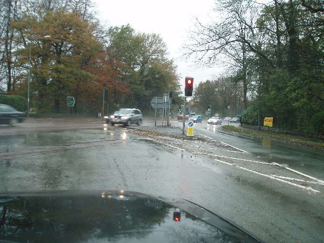
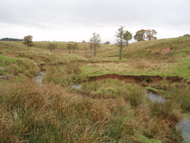
Chestnut Clump is a picturesque woodland located in the county of Cheshire, England. Situated within the larger area of Delamere Forest, this small and enchanting clump is a hidden gem for nature lovers and outdoor enthusiasts.
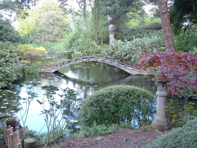
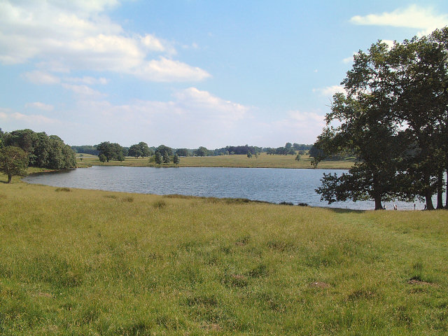
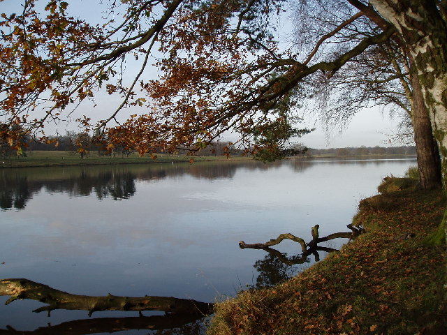
Covering an area of approximately 5 acres, Chestnut Clump is predominantly composed of mature chestnut trees, which give the woodland its name. These majestic trees provide a stunning canopy that allows dappled sunlight to filter through, creating a magical and tranquil atmosphere. The forest floor is carpeted with a variety of flora, including bluebells, ferns, and wildflowers, adding to the natural beauty of the area.
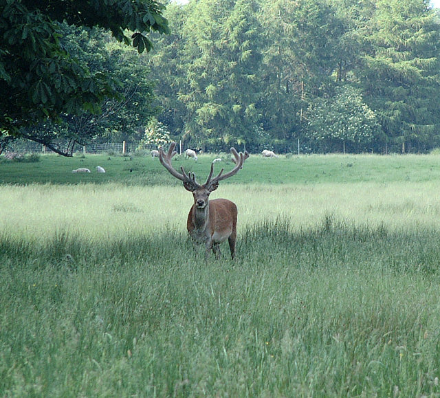
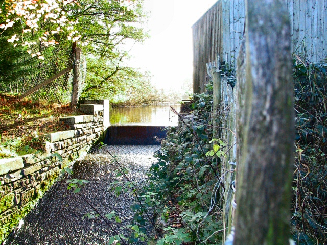
The clump is a popular destination for walkers, hikers, and nature photographers. The well-maintained footpaths wind through the woodland, offering an opportunity to explore the diverse ecosystem and observe wildlife such as squirrels, foxes, and numerous bird species. The serene ambiance of Chestnut Clump also makes it an ideal spot for picnics and peaceful contemplation.
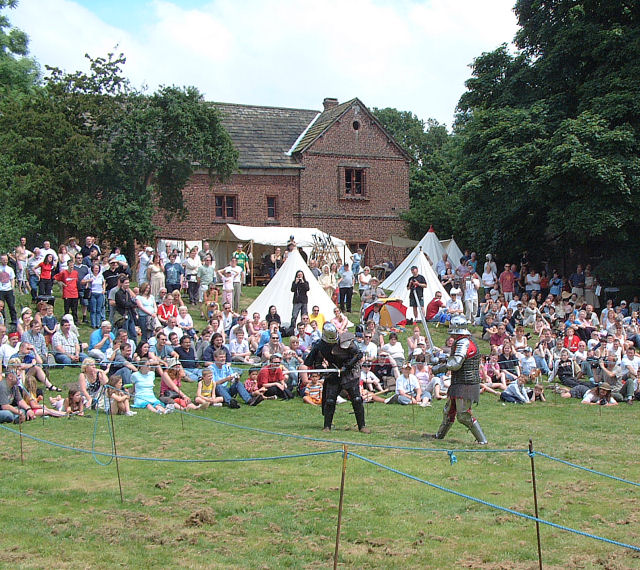
Managed by the Forestry Commission, Chestnut Clump boasts a rich history that dates back centuries. It has been a protected forest area since the 16th century, and remnants of ancient settlements can still be found within its boundaries. The clump is also part of a larger network of trails and paths that wind through Delamere Forest, connecting visitors to a wider range of outdoor activities, including cycling, horse riding, and even a treetop adventure course.
In conclusion, Chestnut Clump in Cheshire is a captivating woodland retreat that offers visitors a chance to immerse themselves in the beauty of nature. With its majestic chestnut trees, diverse wildlife, and well-preserved paths, this enchanting forest is a must-visit destination for anyone seeking tranquility and natural splendor.
If you have any feedback on the listing, please let us know in the comments section below.
Chestnut Clump Images
Images are sourced within 2km of 53.330499/-2.3913652 or Grid Reference SJ7481. Thanks to Geograph Open Source API. All images are credited.


Chestnut Clump is located at Grid Ref: SJ7481 (Lat: 53.330499, Lng: -2.3913652)
Unitary Authority: Cheshire East
Police Authority: Cheshire
What 3 Words
///vertical.converged.instructs. Near Mere, Cheshire
Nearby Locations
Related Wikis
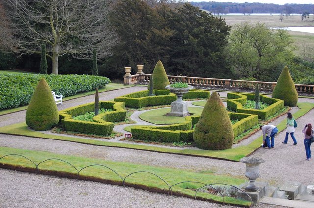
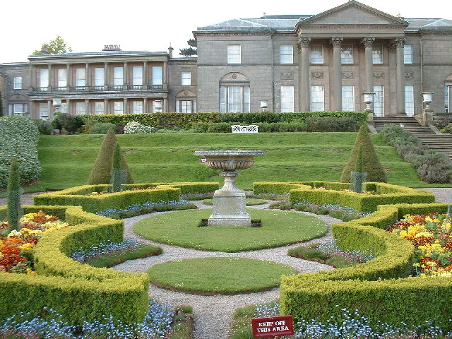
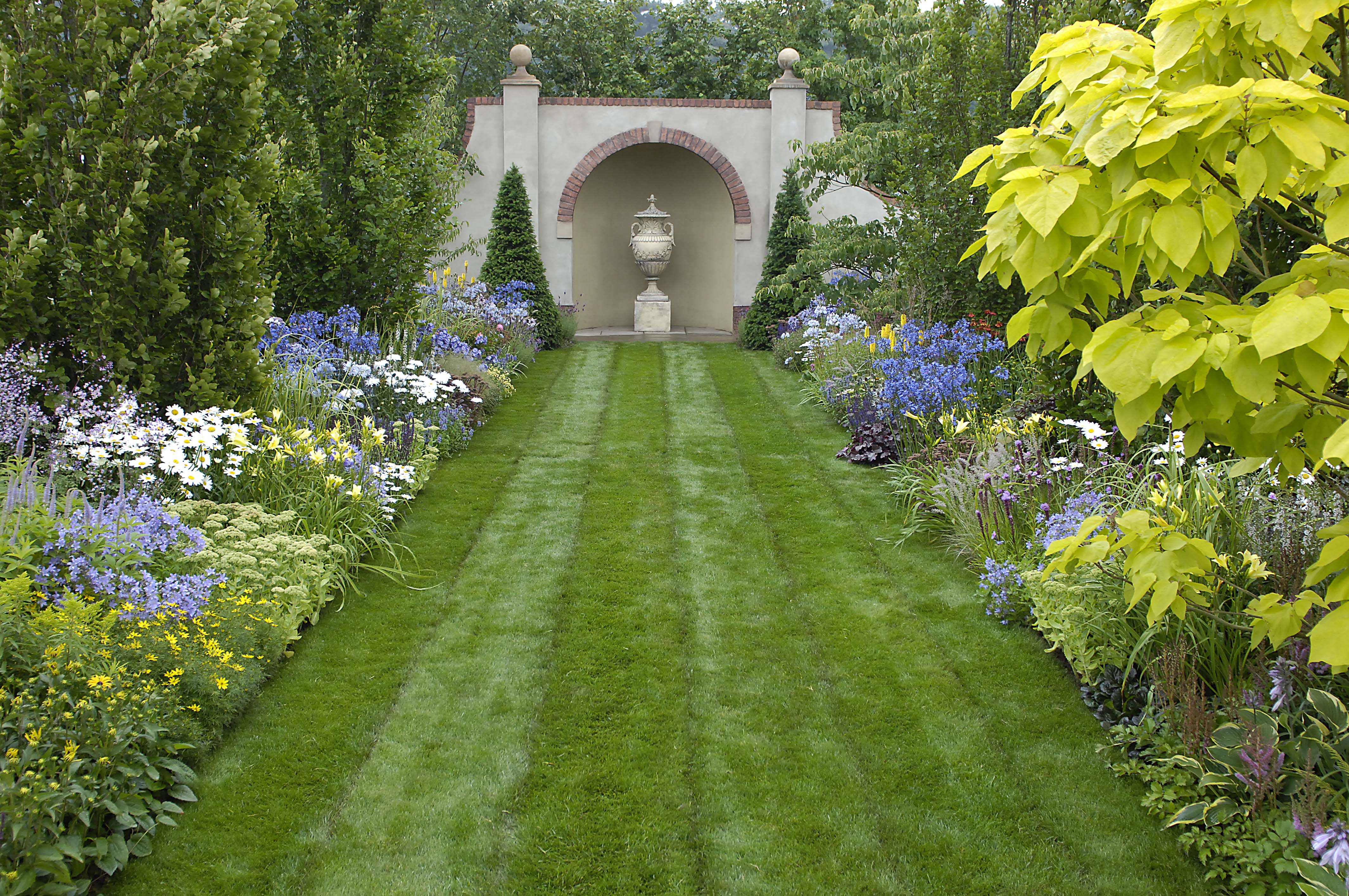
Tatton Park Gardens
Tatton Park Gardens consist of formal and informal gardens in Tatton Park to the south of Tatton Hall, Cheshire, England (grid reference SJ744814). Included...

Tatton Park
Tatton Park is a historic estate in Cheshire, England, north of the town of Knutsford. It contains a mansion, Tatton Hall; a medieval manor house, Tatton...
Tatton Park Flower Show
RHS Flower Show Tatton Park held at Tatton Park, near Knutsford, Cheshire, first began in 1999 by the Royal Horticultural Society. The show houses the...
Tatton Hall
Tatton Hall is a country house in Tatton Park near Knutsford, Cheshire, England. It is designated as a Grade I listed building and is open to the public...

Mere New Hall
Mere New Hall stood to the east of the village of Mere and the junction of the A566 and A50 roads in Cheshire, England. It was largely destroyed by fire...

Mere, Cheshire
Mere is a civil parish and linear village along the old course of the A556 road in the unitary authority of Cheshire East and the ceremonial county of...
Tatton, Cheshire
Tatton is a former civil parish, now in the parish of Millington and Rostherne, in the Cheshire East district and ceremonial county of Cheshire in England...

Tatton Old Hall
Tatton Old Hall is a historic building in Tatton Park near Knutsford, Cheshire, England. It is designated by English Heritage as a Grade II* listed building...
Nearby Amenities
Located within 500m of 53.330499,-2.3913652Have you been to Chestnut Clump?
Leave your review of Chestnut Clump below (or comments, questions and feedback).