Tinkers' Coppice

Wood, Forest in Worcestershire Malvern Hills

England

Tinkers' Coppice

Weir on the River Teme, Knightwick View from Knightsford Bridge.
Weir on the River Teme, Knightwick Credit: JThomas

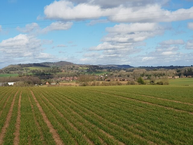
Tinkers' Coppice is a tranquil woodland located in Worcestershire, England. This ancient coppiced woodland has a long history, dating back several centuries. It covers an approximate area of 25 acres and consists primarily of deciduous trees such as oak, ash, birch, and hazel.

The woodland is characterized by its dense canopy, providing a shady and cool atmosphere during the summer months. The forest floor is adorned with a variety of wildflowers, creating a colorful and vibrant landscape. Tinkers' Coppice is also home to a diverse range of wildlife, including birds, butterflies, squirrels, and deer.

The woodland has been managed using traditional coppicing techniques for many years. Coppicing involves cutting trees down to ground level and allowing them to regrow from the stump. This practice has been employed to produce timber and firewood, and also to encourage the growth of new shoots, which benefits biodiversity.

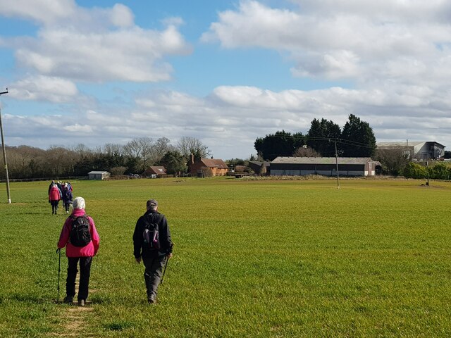
The area is a popular destination for nature enthusiasts, walkers, and birdwatchers. Several well-marked trails meander through the woodland, providing visitors with the opportunity to explore its natural beauty. There are also designated picnic areas, allowing visitors to relax and enjoy the peaceful surroundings.

Tinkers' Coppice is a place of tranquility and natural beauty, offering a glimpse into the ancient woodland heritage of Worcestershire. With its diverse flora and fauna, it provides a haven for both wildlife and those seeking solace in nature.

If you have any feedback on the listing, please let us know in the comments section below.

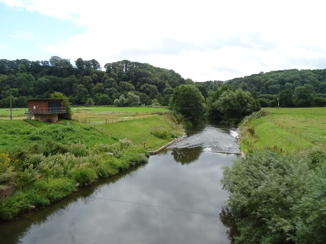
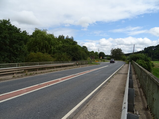
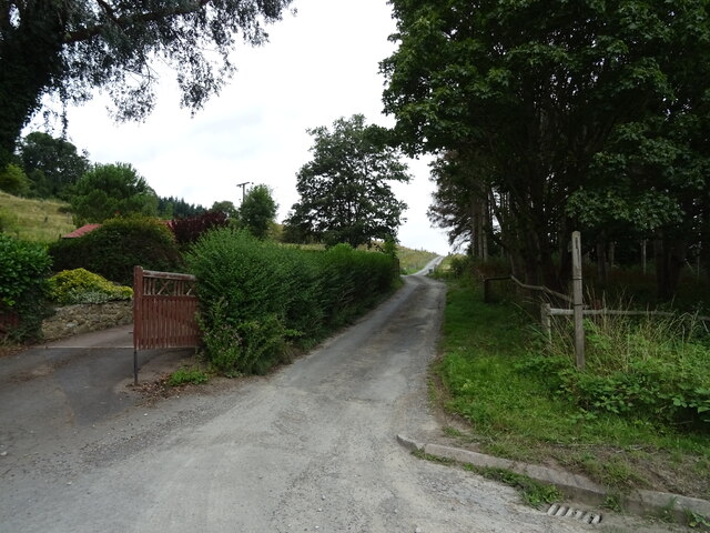
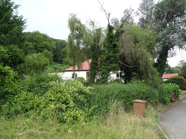
Tinkers' Coppice Images

Images are sourced within 2km of 52.216158/-2.3815344 or Grid Reference SO7457. Thanks to Geograph Open Source API. All images are credited.

Weir on the River Teme, Knightwick View from Knightsford Bridge.
Weir on the River Teme, Knightwick
View from Knightsford Bridge.
A44, Knightsford Bridge Towards Worcester.
A44, Knightsford Bridge
Towards Worcester.
Track (footpath) off the A44, Darbys Green
Shortlands House on the A44, Darbys Green.
Shortlands
House on the A44, Darbys Green.
Barn, Darbys Green
Barn, Darbys Green
Bend in the A44, Darbys Green Towards Worcester.
Bend in the A44, Darbys Green
Towards Worcester.
Houses, Doddenham
Houses, Doddenham
Band in the A44, Doddenham Towards Worcester.
Band in the A44, Doddenham
Towards Worcester.
Direction Sign – Signpost on Easinghope Lane in Doddenham Located in the village on the north side of the T junction with Easinghope Lane, Doddenham parish. 1 modern arm and pawn finial. 

Milestone Society National ID: WO_SO7556
Direction Sign – Signpost on Easinghope Lane in Doddenham
Located in the village on the north side of the T junction with Easinghope Lane, Doddenham parish. 1 modern arm and pawn finial. Milestone Society National ID: WO_SO7556
Old Bridge Marker on the A44 Bridge Marker fixed to the south parapet of Knightsford Bridge, River Teme, on the A44. On the boundary of Knightwick and Doddenham parishes. See also <a title="https://www.geograph.org.uk/photo/554531" href="https://www.geograph.org.uk/photo/554531">Link</a>.

Milestone Society National ID: WO_KNIDOD01br
Old Bridge Marker on the A44
Bridge Marker fixed to the south parapet of Knightsford Bridge, River Teme, on the A44. On the boundary of Knightwick and Doddenham parishes. See also Link. Milestone Society National ID: WO_KNIDOD01br
Former St. Mary's church (Knightwick) Built by A. E. Jenkins in 1856, the church was converted as a private house in the 2000s. This was taken from the B4197 road.
Former St. Mary's church (Knightwick)
Built by A. E. Jenkins in 1856, the church was converted as a private house in the 2000s. This was taken from the B4197 road.
Stile off Hollins Lane With Great Hopehouse Coppice in the distance.
Stile off Hollins Lane
With Great Hopehouse Coppice in the distance.
Upper Holling Farmhouse, Hollins Lane There was an archaeological survey of the house done in 2021. <span class="nowrap"><a title="https://archaeologydataservice.ac.uk/archives/view/110archa1-379197/index.cfm" rel="nofollow ugc noopener" href="https://archaeologydataservice.ac.uk/archives/view/110archa1-379197/index.cfm">Link</a><img style="margin-left:2px;" alt="External link" title="External link - shift click to open in new window" src="https://s1.geograph.org.uk/img/external.png" width="10" height="10"/></span>
Upper Holling Farmhouse, Hollins Lane
There was an archaeological survey of the house done in 2021. LinkExternal link
Farm building at Upper Holling Farm, Hollins Lane
Timber farm building at Upper Holling Farm, Hollins Lane
Lower Hollins Farm from the fields Strange that this is Lower Hollins Farm at it is Upper Holling Farm.
Lower Hollins Farm from the fields
Strange that this is Lower Hollins Farm at it is Upper Holling Farm.
Looking over the top of Martley to distant hills
Walkers heading for Lower Hollins Farm
Show me another place!

Tinkers' Coppice is located at Grid Ref: SO7457 (Lat: 52.216158, Lng: -2.3815344)

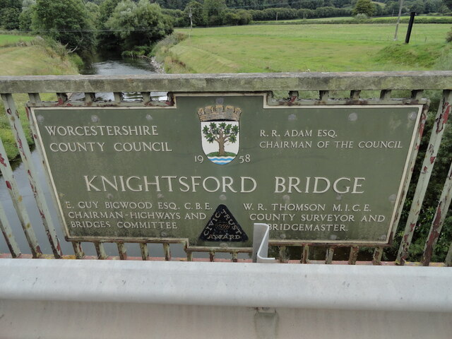
Administrative County: Worcestershire

District: Malvern Hills

Police Authority: West Mercia

What 3 Words

///reconnect.tight.interval. Near Lower Broadheath, Worcestershire

Related Wikis

Horsham, Worcestershire

Horsham is a village in Worcestershire, England. Remains of an old Iron Age fort are located within the village. == External links ==

Berrow Green

Berrow Green is a village in Worcestershire, England. == Berrow Hill Camp == Berrow Green is situated just below Berrow Hill Camp, an Iron Age encampment...

Ankerdine Hill

Ankerdine Hill is a hill with a summit at 149 metres (489 ft) above sea level, in the civil parish of Doddenham in the Malvern Hills district of Worcestershire...

Doddenham

Doddenham is a hamlet and civil parish (with Knightwick) in the Malvern Hills district in the county of Worcestershire, England. Doddenham was in the...

Stanford with Orleton

Stanford with Orleton is a civil parish in the Malvern Hills district, in the county of Worcestershire, England. The parish comprises the villages of Stanford...

Whitbourne, Herefordshire

Whitbourne (Anglo-Saxon for "white stream") is a village in Eastern Herefordshire, England on the banks of the River Teme and close to the A44. It is close...

Lulsley

Lulsley is a village and civil parish in the Malvern Hills District of the county of Worcestershire, England, UK. == History == Lulsley was in the upper...

Knightwick

Knightwick is a small village and civil parish (with Doddenham) in the Malvern Hills district in the county of Worcestershire, England. == History... ==

Nearby Amenities

Located within 500m of 52.216158,-2.3815344
Power: pole
Lat/Long: 52.2140868/-2.3752537
Power: pole
Lat/Long: 52.2141004/-2.3770127
The Old Court House - Trans
Power: pole
Transformer: distribution
Voltage Primary: 11000
Lat/Long: 52.2145611/-2.3881494
Power: pole
Lat/Long: 52.2153212/-2.3873096
Power: pole
Lat/Long: 52.2156045/-2.3869717
Power: pole
Lat/Long: 52.2158324/-2.3867153
Power: pole
Lat/Long: 52.216378/-2.3872782
Power: pole
Lat/Long: 52.21645/-2.3860133
Power: pole
Lat/Long: 52.2171697/-2.3880977
Power: pole
Lat/Long: 52.2172158/-2.3851857
Power: pole
Lat/Long: 52.2175151/-2.3848385
Power: pole
Lat/Long: 52.2180437/-2.3842447
Power: pole
Lat/Long: 52.2188024/-2.3834158
Power: pole
Lat/Long: 52.2192028/-2.3821747
Power: pole
Lat/Long: 52.2196036/-2.3810001
Power: pole
Lat/Long: 52.2199769/-2.3797425
Power: pole
Lat/Long: 52.2201917/-2.3790154
Post Box
Collection Times: Mo-Fr 16:45; Sa 08:00
Post Box Type: lamp
Ref: WR6 458
Royal Cypher: EIIR
Royal Cypher Wikidata: Q33102113
Lat/Long: 52.2120741/-2.3828857
Tourism: viewpoint
Lat/Long: 52.2137246/-2.381562
Information: map
Tourism: information
Lat/Long: 52.2136506/-2.3816237
Old House Farm Horsham
Power: pole
Transformer: distribution
Voltage Primary: 11000
Lat/Long: 52.2186065/-2.3824396
Power: pole
Lat/Long: 52.2162264/-2.3837827
Power: pole
Lat/Long: 52.2167375/-2.3844919
Material: wood
Power: pole
Lat/Long: 52.2157397/-2.3831148
Power: pole
Lat/Long: 52.2152449/-2.3824208
Power: pole
Lat/Long: 52.2149331/-2.3820218
Power: pole
Lat/Long: 52.2144419/-2.3812801
Collins Green Booster Station
Power: pole
Transformer: distribution
Voltage Primary: 11000
Lat/Long: 52.2142878/-2.3806682
Power: pole
Lat/Long: 52.2117949/-2.3825242
Power: pole
Lat/Long: 52.2121864/-2.3821543
Easinghope Lane
Power: pole
Transformer: distribution
Voltage Primary: 11000
Lat/Long: 52.2125762/-2.3817857
Power: pole
Lat/Long: 52.2130844/-2.3813009
Power: pole
Lat/Long: 52.213712/-2.3807223
Tinkers Coppice
Power: pole
Transformer: distribution
Voltage Primary: 11000
Lat/Long: 52.2145242/-2.3799825
Power: pole
Lat/Long: 52.2141945/-2.3802711
Easinghope Farm
Power: pole
Transformer: distribution
Voltage Primary: 11000
Lat/Long: 52.2128458/-2.3771549
Power: pole
Lat/Long: 52.2131076/-2.3775094
Power: pole
Lat/Long: 52.2133969/-2.3779088
Power: pole
Lat/Long: 52.213724/-2.3784034
Power: pole
Lat/Long: 52.21387/-2.3790031
Power: pole
Lat/Long: 52.213985/-2.3794458
Power: pole
Lat/Long: 52.2141215/-2.378926
Power: pole
Lat/Long: 52.2141035/-2.3780026
The data included in this document is from www.openstreetmap.org. The data is made available under ODbL.

Have you been to Tinkers' Coppice?

Leave your review of Tinkers' Coppice below (or comments, questions and feedback).