Nipple Coppice

Wood, Forest in Worcestershire Malvern Hills

England

Nipple Coppice

Cereal crop, Sapey Bridge South of the A44.
Cereal crop, Sapey Bridge Credit: JThomas

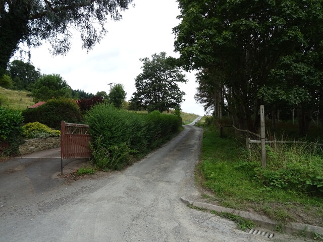
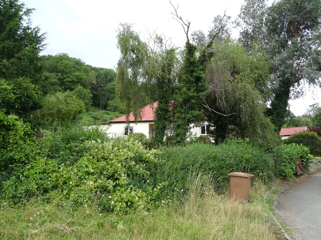
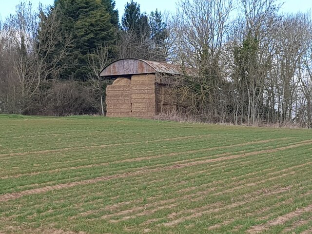
Nestled in the county of Worcestershire, England, lies the enchanting woodland known as Nipple Coppice. Spread across an area of approximately 100 acres, this picturesque forest exudes tranquility and natural beauty. Situated near the village of Feckenham, Nipple Coppice is a popular destination for nature enthusiasts, hikers, and those seeking solace in the great outdoors.

The woodland is characterized by its dense canopy of trees, predominantly consisting of oak, ash, and birch. The interwoven branches create a captivating mosaic of light and shadows, while the forest floor is adorned with an assortment of wildflowers, ferns, and mosses. Throughout the seasons, Nipple Coppice offers a stunning display of colors, from the vibrant hues of spring blossoms to the rich golden tones of autumn foliage.

The forest is home to a diverse array of wildlife, providing a haven for numerous bird species, including woodpeckers, owls, and warblers. Small mammals like squirrels, rabbits, and foxes can be spotted darting amongst the undergrowth. Additionally, the peaceful ambiance of Nipple Coppice attracts a variety of butterflies and insects, adding to the natural charm of the woodland.

Visitors to Nipple Coppice can explore its network of footpaths and trails, allowing them to immerse themselves in the serene surroundings. The forest also features a small picnic area, providing a tranquil spot for visitors to relax and enjoy the beauty of their surroundings. With its serene ambiance and captivating scenery, Nipple Coppice offers a delightful escape from the bustle of everyday life.

If you have any feedback on the listing, please let us know in the comments section below.

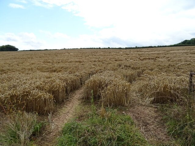
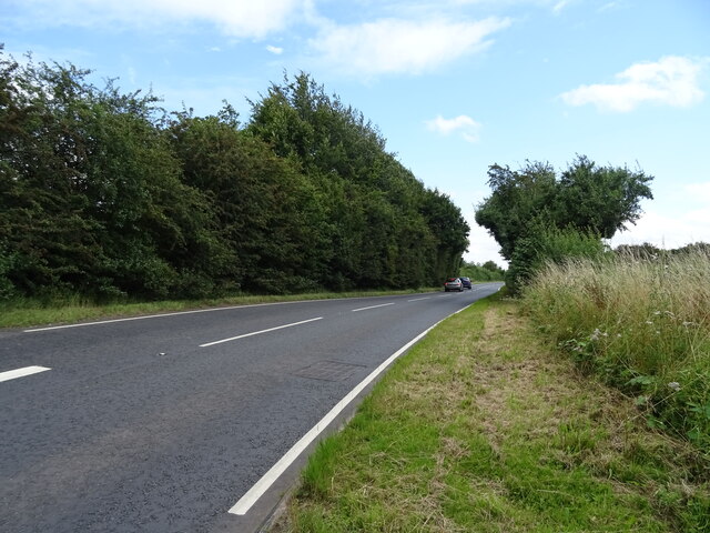
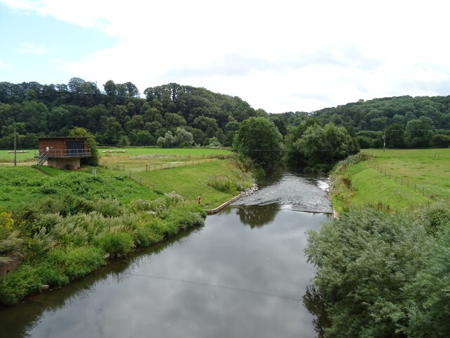
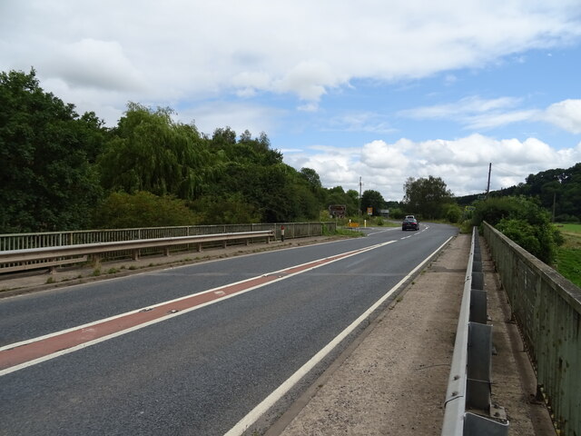
Nipple Coppice Images

Images are sourced within 2km of 52.208687/-2.3814703 or Grid Reference SO7456. Thanks to Geograph Open Source API. All images are credited.

Cereal crop, Sapey Bridge South of the A44.
Cereal crop, Sapey Bridge
South of the A44.
A44, Sapey Bridge Towards Worcester.
A44, Sapey Bridge
Towards Worcester.
Weir on the River Teme, Knightwick View from Knightsford Bridge.
Weir on the River Teme, Knightwick
View from Knightsford Bridge.
A44, Knightsford Bridge Towards Worcester.
A44, Knightsford Bridge
Towards Worcester.
Track (footpath) off the A44, Darbys Green
Shortlands House on the A44, Darbys Green.
Shortlands
House on the A44, Darbys Green.
Barn, Darbys Green
Barn, Darbys Green
Bend in the A44, Darbys Green Towards Worcester.
Bend in the A44, Darbys Green
Towards Worcester.
Houses, Doddenham
Houses, Doddenham
Band in the A44, Doddenham Towards Worcester.
Band in the A44, Doddenham
Towards Worcester.
Footpath off the A44 south of Doddenham
Orchard near the River Teme
A44 towards Worcester
Direction Sign – Signpost on Easinghope Lane in Doddenham Located in the village on the north side of the T junction with Easinghope Lane, Doddenham parish. 1 modern arm and pawn finial. 

Milestone Society National ID: WO_SO7556
Direction Sign – Signpost on Easinghope Lane in Doddenham
Located in the village on the north side of the T junction with Easinghope Lane, Doddenham parish. 1 modern arm and pawn finial. Milestone Society National ID: WO_SO7556
Old Bridge Marker on the A44 Bridge Marker fixed to the south parapet of Knightsford Bridge, River Teme, on the A44. On the boundary of Knightwick and Doddenham parishes. See also <a title="https://www.geograph.org.uk/photo/554531" href="https://www.geograph.org.uk/photo/554531">Link</a>.

Milestone Society National ID: WO_KNIDOD01br
Old Bridge Marker on the A44
Bridge Marker fixed to the south parapet of Knightsford Bridge, River Teme, on the A44. On the boundary of Knightwick and Doddenham parishes. See also Link. Milestone Society National ID: WO_KNIDOD01br
Former St. Mary's church (Knightwick) Built by A. E. Jenkins in 1856, the church was converted as a private house in the 2000s. This was taken from the B4197 road.
Former St. Mary's church (Knightwick)
Built by A. E. Jenkins in 1856, the church was converted as a private house in the 2000s. This was taken from the B4197 road.
Dutch barn next to a field at Berrow Green
Walking group admiring the view
Show me another place!

Nipple Coppice is located at Grid Ref: SO7456 (Lat: 52.208687, Lng: -2.3814703)

Administrative County: Worcestershire

District: Malvern Hills

Police Authority: West Mercia

What 3 Words

///caramel.fortnight.expensive. Near Lower Broadheath, Worcestershire

Related Wikis

Ankerdine Hill

Ankerdine Hill is a hill with a summit at 149 metres (489 ft) above sea level, in the civil parish of Doddenham in the Malvern Hills district of Worcestershire...

Doddenham

Doddenham is a hamlet and civil parish (with Knightwick) in the Malvern Hills district in the county of Worcestershire, England. Doddenham was in the...

Stanford with Orleton

Stanford with Orleton is a civil parish in the Malvern Hills district, in the county of Worcestershire, England. The parish comprises the villages of Stanford...

Lulsley

Lulsley is a village and civil parish in the Malvern Hills District of the county of Worcestershire, England, UK. == History == Lulsley was in the upper...

Osebury Rock

Osebury Rock (also known as Oseberrow or Rosebury) is a cliff on the River Teme near Lulsley in Worcestershire, England where fragmentary rocks of the...

Knightwick

Knightwick is a small village and civil parish (with Doddenham) in the Malvern Hills district in the county of Worcestershire, England. == History... ==

Horsham, Worcestershire

Horsham is a village in Worcestershire, England. Remains of an old Iron Age fort are located within the village. == External links ==

Berrow Green

Berrow Green is a village in Worcestershire, England. == Berrow Hill Camp == Berrow Green is situated just below Berrow Hill Camp, an Iron Age encampment...

Nearby Amenities

Located within 500m of 52.208687,-2.3814703
Post Box
Collection Times: Mo-Fr 16:15; Sa 11:15
Post Box Type: wall
Ref: WR6 87
Royal Cypher: VR
Royal Cypher Wikidata: Q33102356
Lat/Long: 52.2058888/-2.3769196
Tourism: picnic_site
Lat/Long: 52.2071987/-2.3870085
Barrier: kissing_gate
Foot: yes
Lat/Long: 52.2088425/-2.3860193
Barrier: stile
Foot: yes
Lat/Long: 52.2090873/-2.3847352
Fixme: continue
Lat/Long: 52.2081421/-2.3787528
Post Box
Collection Times: Mo-Fr 16:45; Sa 08:00
Post Box Type: lamp
Ref: WR6 458
Royal Cypher: EIIR
Royal Cypher Wikidata: Q33102113
Lat/Long: 52.2120741/-2.3828857
Tourism: viewpoint
Lat/Long: 52.2073865/-2.3870122
Ankerdine Hill
Power: pole
Transformer: distribution
Voltage Primary: 11000
Lat/Long: 52.207271/-2.3862961
Power: pole
Lat/Long: 52.2075123/-2.3863045
Power: pole
Lat/Long: 52.2081322/-2.386329
Ankerdine
Material: wood
Power: pole
Transformer: distribution
Voltage Primary: 11000
Lat/Long: 52.2086439/-2.3856543
Power: pole
Lat/Long: 52.2091934/-2.3849467
Power: pole
Lat/Long: 52.2109948/-2.3832542
Collins Green
Power: pole
Transformer: distribution
Voltage Primary: 11000
Lat/Long: 52.2115545/-2.3827497
Power: pole
Lat/Long: 52.2117949/-2.3825242
Power: pole
Lat/Long: 52.2121864/-2.3821543
Easinghope Lane
Power: pole
Transformer: distribution
Voltage Primary: 11000
Lat/Long: 52.2125762/-2.3817857
Power: pole
Lat/Long: 52.2130844/-2.3813009
Darby Green
Power: pole
Transformer: distribution
Voltage Primary: 11000
Lat/Long: 52.2046077/-2.3805115
Power: pole
Lat/Long: 52.2049019/-2.3798355
Power: pole
Lat/Long: 52.2052488/-2.3791502
Bannersbrook Farm
Power: pole
Transformer: distribution
Voltage Primary: 11000
Lat/Long: 52.2059305/-2.3772693
Power: pole
Lat/Long: 52.2057575/-2.3778621
Power: pole
Lat/Long: 52.2055915/-2.3784274
Power: pole
Lat/Long: 52.2052011/-2.3780827
The data included in this document is from www.openstreetmap.org. The data is made available under ODbL.

Have you been to Nipple Coppice?

Leave your review of Nipple Coppice below (or comments, questions and feedback).