Sturgeon Wood

Wood, Forest in Gloucestershire

England

Sturgeon Wood

Flooded road at Lower Chalkley Farm The result of a rapid thaw of snow.
Flooded road at Lower Chalkley Farm Credit: Sandy Gerrard

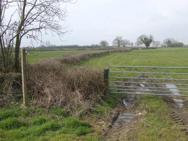
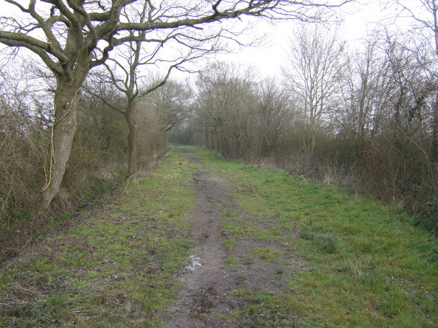
Sturgeon Wood is a picturesque wooded area located in the county of Gloucestershire, England. Covering an area of approximately 100 acres, it is situated within the larger Forest of Dean, renowned for its natural beauty and rich biodiversity. Sturgeon Wood is characterized by its dense, ancient woodland, consisting primarily of oak, beech, and ash trees, which have thrived for centuries.

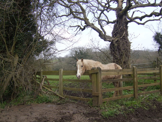
The woodland is crisscrossed by a network of well-maintained footpaths and trails, offering visitors the opportunity to explore its natural wonders on foot. As one meanders through Sturgeon Wood, they will encounter a diverse array of flora and fauna, including a variety of wildflowers, ferns, and mosses. The woodland is also home to numerous bird species, such as woodpeckers and warblers, as well as small mammals like badgers and foxes.

Sturgeon Wood is a popular destination for outdoor enthusiasts, nature lovers, and photographers alike. Its serene atmosphere and tranquil surroundings make it an ideal place for a leisurely stroll, a family picnic, or simply to escape the hustle and bustle of everyday life. The wood is also a haven for wildlife enthusiasts, who can spend hours observing and documenting the diverse range of species that call this woodland home.

Managed by the Forestry Commission, Sturgeon Wood is carefully conserved and protected to ensure its continued beauty and ecological importance. Its accessibility, combined with its stunning natural features, make it a treasured gem within the Forest of Dean, attracting visitors from near and far to experience the enchantment of this ancient woodland.

If you have any feedback on the listing, please let us know in the comments section below.

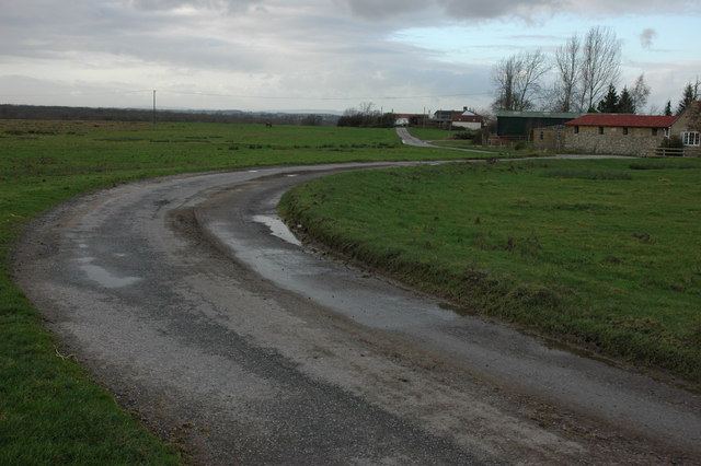
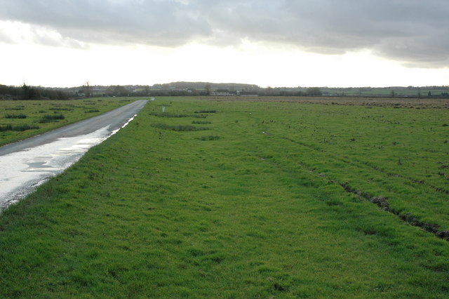
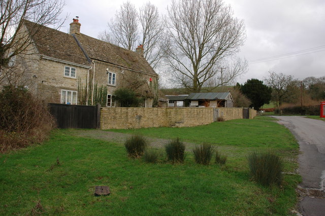
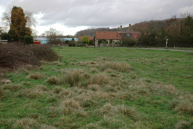
Sturgeon Wood Images

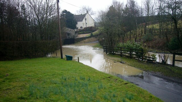
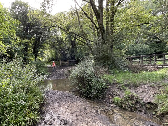
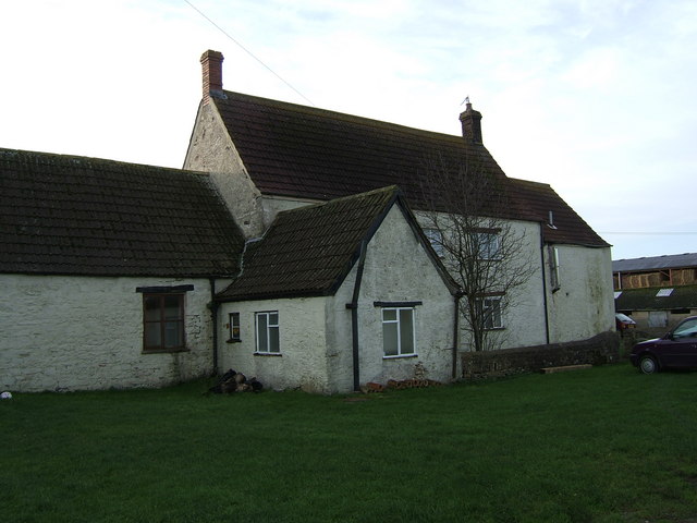
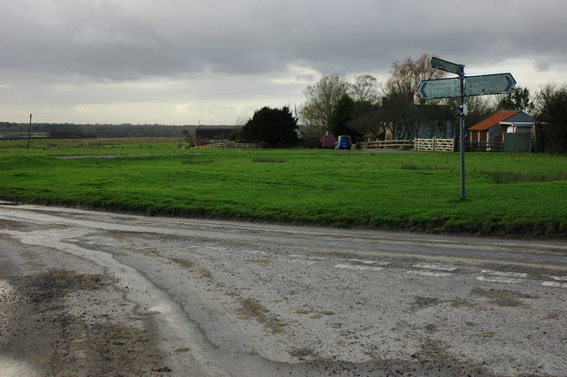
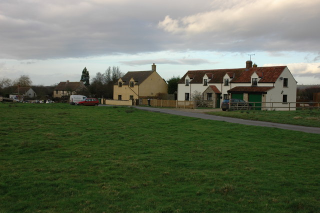
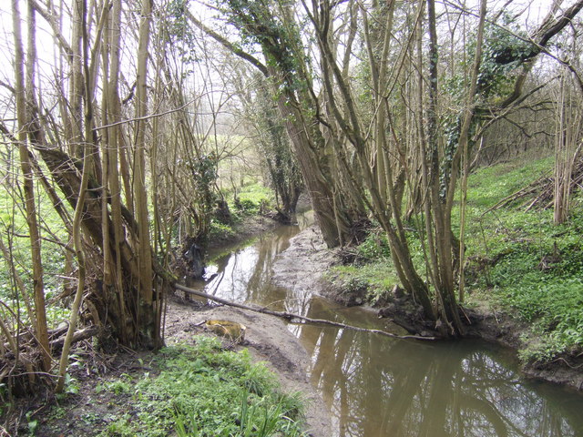
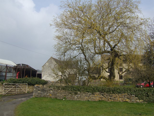
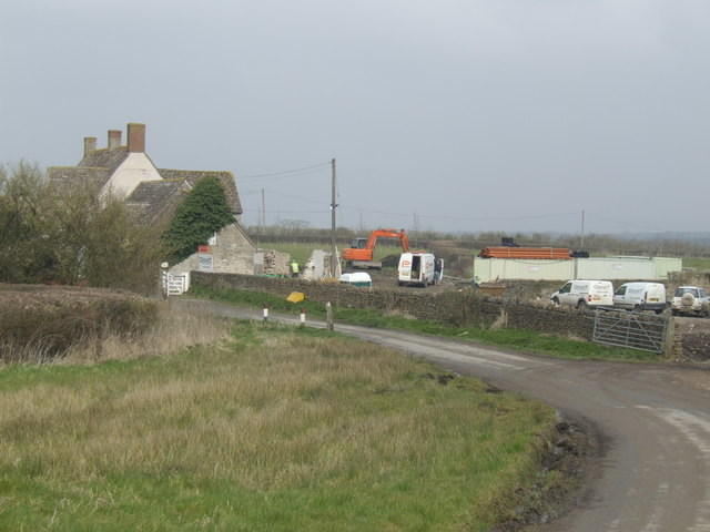
Images are sourced within 2km of 51.580843/-2.3675423 or Grid Reference ST7486. Thanks to Geograph Open Source API. All images are credited.

Flooded road at Lower Chalkley Farm The result of a rapid thaw of snow.
Flooded road at Lower Chalkley Farm
The result of a rapid thaw of snow.
Ford on Little Avon River This ford on the Little Avon River at Wickwar is found beside Sturt Bridge which is known locally as Roman Bridge as it is on the route of a Roman road. A video of the ford can be viewed at:
<span class="nowrap"><a title="https://youtu.be/Mcgc6bxe6-o" rel="nofollow ugc noopener" href="https://youtu.be/Mcgc6bxe6-o">Link</a><img style="margin-left:2px;" alt="External link" title="External link - shift click to open in new window" src="https://s1.geograph.org.uk/img/external.png" width="10" height="10"/></span>
Ford on Little Avon River
This ford on the Little Avon River at Wickwar is found beside Sturt Bridge which is known locally as Roman Bridge as it is on the route of a Roman road. A video of the ford can be viewed at: LinkExternal link
Lower Wood Ford This ford is found in Lower Wood Nature Reserve a short walk down from the carpark.
Lower Wood Ford
This ford is found in Lower Wood Nature Reserve a short walk down from the carpark.
Sturt Bridge Hidden away in the valley below the village but well known to locals.  You can find it by walking down Poplar Lane.
Sturt Bridge
Hidden away in the valley below the village but well known to locals. You can find it by walking down Poplar Lane.
Sturt Farm Available for hire (at least in wintertime)
Sturt Farm
Available for hire (at least in wintertime)
Road junction on Hawkesbury Common
Road to Newhouse Farm, Hawkesbury Common
Road across Hawkesbury Common View to the south-south-west with Cat Cottage in the distance.
Road across Hawkesbury Common
View to the south-south-west with Cat Cottage in the distance.
Cottage at Orange End, near Hawkesbury
Oxleaze Farm near Hillesley Oxleaze Farm is situated on the eastern side of Inglestone Common.
Oxleaze Farm near Hillesley
Oxleaze Farm is situated on the eastern side of Inglestone Common.
Cottages on Inglestone Common, near Hillesley
Saltmoors Ditch A stream draining from Inglestone Common.
Saltmoors Ditch
A stream draining from Inglestone Common.
Haskin's Farm With a fine willow in typical early leaf.
Haskin's Farm
With a fine willow in typical early leaf.
Development at Bix Farm This substantial building is receiving a "full-on makeover"!
Development at Bix Farm
This substantial building is receiving a "full-on makeover"!
Footpath off Vinney Lane Heading West towards Springfield Farm.
Footpath off Vinney Lane
Heading West towards Springfield Farm.
Bridleway north from Mapleridge Lane Good walking country this with woodland and common land and a fine network of paths. Lowland moor is more than a little damp!
Bridleway north from Mapleridge Lane
Good walking country this with woodland and common land and a fine network of paths. Lowland moor is more than a little damp!
Go on - take a picture of me! A pony in a field by Horwood Lane. Amazing how horses in particular appear to enjoy being made the subject of photography - never mind the landscape; look at me!
Go on - take a picture of me!
A pony in a field by Horwood Lane. Amazing how horses in particular appear to enjoy being made the subject of photography - never mind the landscape; look at me!
Shortwood Farm, near Wickwar The farm is visible in the background. The metalled driveway leading off to the right is private from the gatepost on. There is a public footpath on the other side of the gate to the left of the image.
Shortwood Farm, near Wickwar
The farm is visible in the background. The metalled driveway leading off to the right is private from the gatepost on. There is a public footpath on the other side of the gate to the left of the image.
Show me another place!

Sturgeon Wood is located at Grid Ref: ST7486 (Lat: 51.580843, Lng: -2.3675423)

Unitary Authority: South Gloucestershire

Police Authority: Avon and Somerset

What 3 Words

///poppy.chins.unscathed. Near Wickwar, Gloucestershire

Related Wikis

Lower Woods

Lower Woods (grid reference ST743876) is a 280.1-hectare (692-acre) biological and geological Site of Special Scientific Interest near the village of Wickwar...

Hawkesbury Meadow

Hawkesbury Meadow (grid reference ST754874) is a 3.3 hectare biological Site of Special Scientific Interest (SSSI) in South Gloucestershire, notified in...

Bishop's Hill Wood

Bishop's Hill Wood (grid reference ST733873) is a 30.6 hectares (76 acres) biological Site of Special Scientific Interest (SSSI) in England. It lies just...

Church of St Mary, Hawkesbury

The Church of St Mary in Hawkesbury, South Gloucestershire, England was built in the 12th century. It is a Grade I listed building. == History == The church...

Nearby Amenities

Located within 500m of 51.580843,-2.3675423
Ford: yes
Lat/Long: 51.5837545/-2.3692725
Ford: yes
Lat/Long: 51.5794536/-2.3653313
Information: guidepost
Ref: 54
Tourism: information
Lat/Long: 51.583218/-2.3676767
Information: guidepost
Ref: 56
Tourism: information
Lat/Long: 51.5842028/-2.366645
Information: guidepost
Ref: 51
Tourism: information
Lat/Long: 51.5835041/-2.3692259
Information: guidepost
Ref: 53
Tourism: information
Lat/Long: 51.5838994/-2.3691725
Information: guidepost
Ref: 55
Tourism: information
Lat/Long: 51.5831701/-2.3653459
Bench
Lat/Long: 51.580433/-2.3723463
Power: pole
Lat/Long: 51.57877/-2.3615169
Power: pole
Lat/Long: 51.5797764/-2.3611051
Power: pole
Lat/Long: 51.5805131/-2.3608074
Power: pole
Lat/Long: 51.5812548/-2.3604963
The data included in this document is from www.openstreetmap.org. The data is made available under ODbL.

Have you been to Sturgeon Wood?

Leave your review of Sturgeon Wood below (or comments, questions and feedback).