West Stanley Wood

Wood, Forest in Gloucestershire

England

West Stanley Wood

Toll House, B4060 Wickwar Tollgate Cottage, on the NW side of the road. Originally served the Kingswood Turnpike Trust.

Milestone Society National ID: AV.WIC01
Toll House, B4060 Wickwar Credit: Mr Red

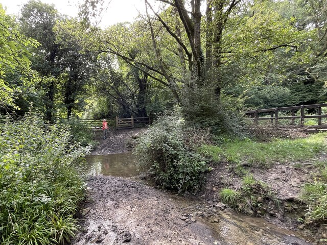
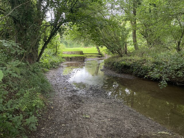
West Stanley Wood is a picturesque woodland located in the county of Gloucestershire, England. Situated in the heart of the Forest of Dean, it covers an area of approximately 200 acres and is known for its diverse ecosystem and natural beauty.

The woodland is predominantly composed of broadleaved trees, including oak, beech, and ash, which create a dense canopy that provides shelter to various species of wildlife. The forest floor is adorned with a rich carpet of bluebells, wild garlic, and ferns, further enhancing its natural charm.

West Stanley Wood is a popular destination for nature lovers, hikers, and birdwatchers. The woodland is home to a wide range of bird species, including woodpeckers, nuthatches, and long-tailed tits. Visitors can often spot these colorful birds flitting among the trees or hear their distinctive calls echoing through the forest.

The woodland offers several walking trails, ranging from leisurely strolls to more challenging hikes, allowing visitors to explore its enchanting surroundings. These trails meander through ancient trees, babbling brooks, and serene meadows, providing a tranquil escape from the hustle and bustle of everyday life.

In addition to its natural beauty, West Stanley Wood also has historical significance. The woodland is part of the ancient Forest of Dean, which has a rich heritage dating back to prehistoric times. It has been managed sustainably for centuries, providing timber for various industries and fuel for local communities.

Overall, West Stanley Wood is a captivating woodland that offers a peaceful retreat for nature enthusiasts and history buffs alike. Its breathtaking scenery, abundant wildlife, and cultural importance make it a cherished gem within Gloucestershire's natural landscape.

If you have any feedback on the listing, please let us know in the comments section below.

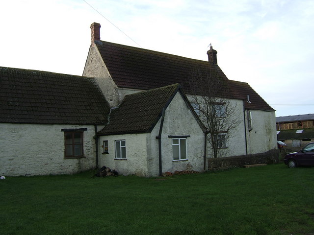
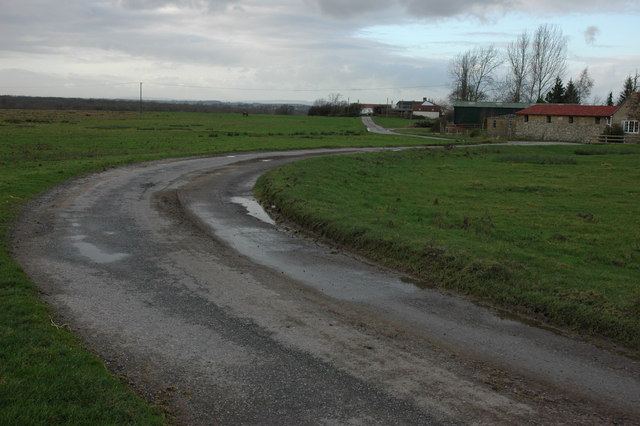
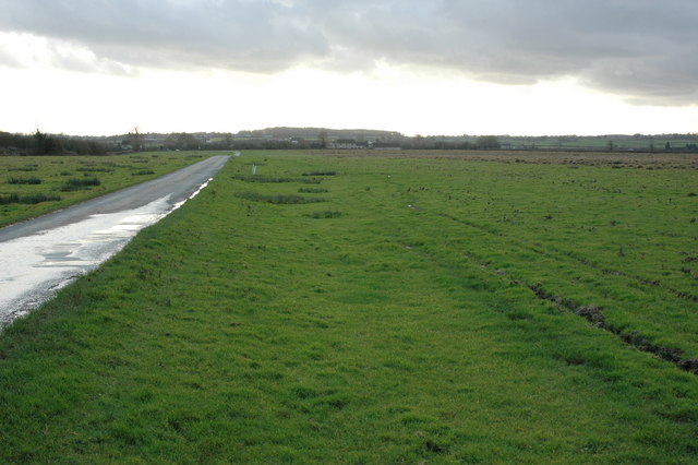
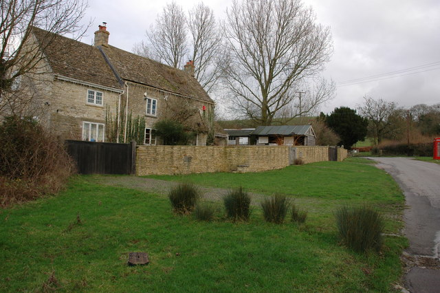
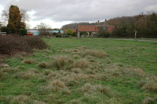
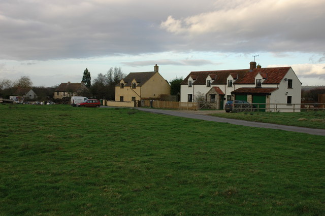
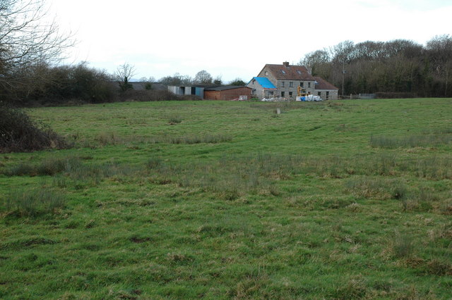
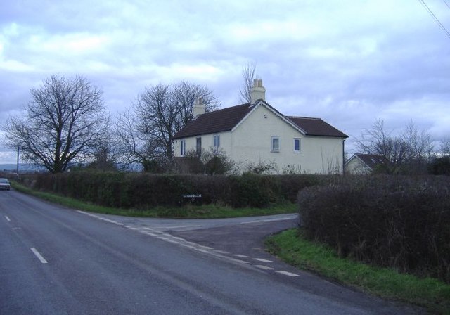
West Stanley Wood Images

Images are sourced within 2km of 51.58979/-2.3728831 or Grid Reference ST7487. Thanks to Geograph Open Source API. All images are credited.

Toll House, B4060 Wickwar Tollgate Cottage, on the NW side of the road. Originally served the Kingswood Turnpike Trust.

Milestone Society National ID: AV.WIC01
Toll House, B4060 Wickwar
Tollgate Cottage, on the NW side of the road. Originally served the Kingswood Turnpike Trust. Milestone Society National ID: AV.WIC01
Ford on Little Avon River This ford on the Little Avon River at Wickwar is found beside Sturt Bridge which is known locally as Roman Bridge as it is on the route of a Roman road. A video of the ford can be viewed at:
<span class="nowrap"><a title="https://youtu.be/Mcgc6bxe6-o" rel="nofollow ugc noopener" href="https://youtu.be/Mcgc6bxe6-o">Link</a><img style="margin-left:2px;" alt="External link" title="External link - shift click to open in new window" src="https://s1.geograph.org.uk/img/external.png" width="10" height="10"/></span>
Ford on Little Avon River
This ford on the Little Avon River at Wickwar is found beside Sturt Bridge which is known locally as Roman Bridge as it is on the route of a Roman road. A video of the ford can be viewed at: LinkExternal link
Lower Wood Ford This ford is found in Lower Wood Nature Reserve a short walk down from the carpark.
Lower Wood Ford
This ford is found in Lower Wood Nature Reserve a short walk down from the carpark.
Ford on Little Avon River This ford is on a Cross Country Course at Castle Farm near Wickwar. A video of the ford taken on an Open Day can be viewed at:
<span class="nowrap"><a title="https://youtu.be/RLzip8NqFQU" rel="nofollow ugc noopener" href="https://youtu.be/RLzip8NqFQU">Link</a><img style="margin-left:2px;" alt="External link" title="External link - shift click to open in new window" src="https://s1.geograph.org.uk/img/external.png" width="10" height="10"/></span>
Ford on Little Avon River
This ford is on a Cross Country Course at Castle Farm near Wickwar. A video of the ford taken on an Open Day can be viewed at: LinkExternal link
Wickwar Parish Church The Parish Church of the Holy Trinity is set on a small hill and is of 12th century origin. It was extensively remodelled in the 14th and 15th centuries and was restored c.1881 by W L Bernard.
Wickwar Parish Church
The Parish Church of the Holy Trinity is set on a small hill and is of 12th century origin. It was extensively remodelled in the 14th and 15th centuries and was restored c.1881 by W L Bernard.
View from the top of the tower of Wickwar Church The walls around the house are the remains of a Saxon  walled settlement.
View from the top of the tower of Wickwar Church
The walls around the house are the remains of a Saxon walled settlement.
Sturt Bridge Hidden away in the valley below the village but well known to locals.  You can find it by walking down Poplar Lane.
Sturt Bridge
Hidden away in the valley below the village but well known to locals. You can find it by walking down Poplar Lane.
Sturt Farm Available for hire (at least in wintertime)
Sturt Farm
Available for hire (at least in wintertime)
Road to Newhouse Farm, Hawkesbury Common
Road across Hawkesbury Common View to the south-south-west with Cat Cottage in the distance.
Road across Hawkesbury Common
View to the south-south-west with Cat Cottage in the distance.
Cottage at Orange End, near Hawkesbury
Oxleaze Farm near Hillesley Oxleaze Farm is situated on the eastern side of Inglestone Common.
Oxleaze Farm near Hillesley
Oxleaze Farm is situated on the eastern side of Inglestone Common.
Cottages on Inglestone Common, near Hillesley
Withymore Farm, Assley Common, Hillesley
Pincots Lane This isolated house stands at the junction with the B4060.
Pincots Lane
This isolated house stands at the junction with the B4060.
The High Street, Wickwar
Gates and cattle grid Off Chase Lane east of Wickwar.
Gates and cattle grid
Off Chase Lane east of Wickwar.
Road to Mounteney's Farm
Show me another place!

West Stanley Wood is located at Grid Ref: ST7487 (Lat: 51.58979, Lng: -2.3728831)

Unitary Authority: South Gloucestershire

Police Authority: Avon and Somerset

What 3 Words

///merchant.bowhead.fatherly. Near Wickwar, Gloucestershire

Related Wikis

Lower Woods

Lower Woods (grid reference ST743876) is a 280.1-hectare (692-acre) biological and geological Site of Special Scientific Interest near the village of Wickwar...

Bishop's Hill Wood

Bishop's Hill Wood (grid reference ST733873) is a 30.6 hectares (76 acres) biological Site of Special Scientific Interest (SSSI) in England. It lies just...

Hawkesbury Meadow

Hawkesbury Meadow (grid reference ST754874) is a 3.3 hectare biological Site of Special Scientific Interest (SSSI) in South Gloucestershire, notified in...

Yarley Meadows

Yarley Meadows (grid reference ST757888) is a 12.2-hectare (30-acre) biological Site of Special Scientific Interest in Gloucestershire, England, notified...
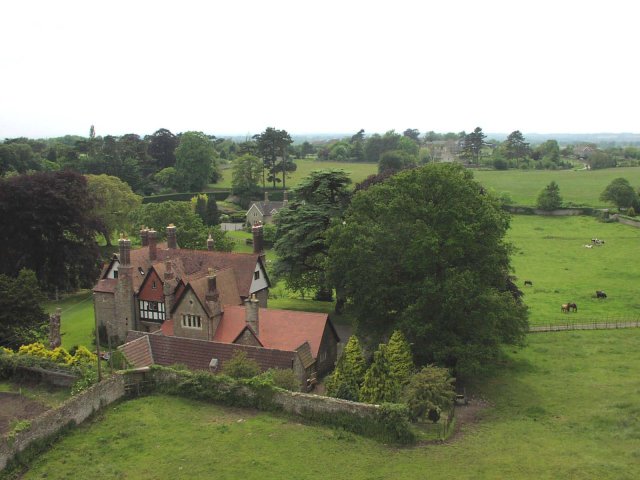
Wickwar

Wickwar is a village and civil parish in Gloucestershire, England, located between Yate and Charfield. At the 2001 census, the parish had a population...

Wickwar railway station

Wickwar railway station served the village of Wickwar in South Gloucestershire, England. The station was on the Bristol and Gloucester Railway, originally...

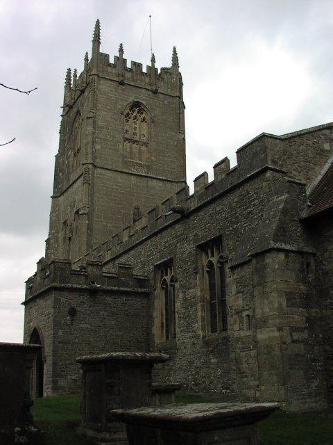
Church of St Mary, Hawkesbury

The Church of St Mary in Hawkesbury, South Gloucestershire, England was built in the 12th century. It is a Grade I listed building. == History == The church...

Hawkesbury Quarry

Hawkesbury Quarry (grid reference ST771873) is a 0.25-hectare (0.62-acre) geological Site of Special Scientific Interest near the village of Hawkesbury...

Nearby Amenities

Located within 500m of 51.58979,-2.3728831
Information: guidepost
Ref: 19
Source: survey
Tourism: information
Lat/Long: 51.5898504/-2.370069
Fixme: verify route of bridleway (seems to start at gate by bridge and go south)
Lat/Long: 51.5873/-2.3687245
Information: guidepost
Ref: 12
Source: survey
Tourism: information
Lat/Long: 51.5926083/-2.3738199
Information: guidepost
Ref: 11
Source: survey
Tourism: information
Lat/Long: 51.5928203/-2.3748567
Information: guidepost
Ref: 35
Source: survey
Tourism: information
Lat/Long: 51.5873873/-2.3684968
Lower Woods Nature Reserve
Board Type: nature
Check Date: 2021-11-19
Information: board
Tourism: information
Lat/Long: 51.5910324/-2.3682302
Information: guidepost
Ref: 22
Source: survey
Tourism: information
Lat/Long: 51.5913942/-2.3699677
Information: guidepost
Ref: 24
Source: survey
Tourism: information
Lat/Long: 51.5934516/-2.3718259
Information: guidepost
Ref: 13
Source: survey
Tourism: information
Lat/Long: 51.5914181/-2.3744388
Information: guidepost
Ref: 15
Source: survey
Tourism: information
Lat/Long: 51.5909905/-2.3745569
Ford: yes
Lat/Long: 51.588375/-2.3783712
Information: guidepost
Ref: 17
Source: survey
Tourism: information
Lat/Long: 51.5899072/-2.3710844
Information: guidepost
Ref: 16
Source: survey
Tourism: information
Lat/Long: 51.5900047/-2.371904
Information: guidepost
Ref: 18;38
Source: survey
Tourism: information
Lat/Long: 51.5896875/-2.369968
Information: guidepost
Ref: 14
Source: survey
Tourism: information
Lat/Long: 51.5911489/-2.3745717
Barrier: kissing_gate
Foot: yes
Source: survey
Lat/Long: 51.5912337/-2.3685671
Information: guidepost
Ref: 3
Source: survey
Tourism: information
Lat/Long: 51.5922275/-2.3688071
Information: guidepost
Ref: 8
Source: survey
Tourism: information
Lat/Long: 51.5935905/-2.374021
Barrier: kissing_gate
Foot: yes
Information: guidepost
Ref: 4
Source: survey
Tourism: information
Lat/Long: 51.5936113/-2.3694134
Information: guidepost
Ref: 6
Source: survey
Tourism: information
Lat/Long: 51.5936339/-2.3716987
Information: guidepost
Ref: 7
Source: survey
Tourism: information
Lat/Long: 51.5937589/-2.3716388
Information: guidepost
Ref: 10
Source: survey
Tourism: information
Lat/Long: 51.593872/-2.375444
Information: guidepost
Ref: 9
Source: survey
Tourism: information
Lat/Long: 51.5939732/-2.3753397
Description: Leaflets for walks round the wood
Information: leaflets
Tourism: information
Lat/Long: 51.5910546/-2.3682145
Fixme: incomplete
Lat/Long: 51.5936851/-2.3740289
Fixme: incomplete
Lat/Long: 51.5937533/-2.3755874
Fixme: incomplete
Lat/Long: 51.5938922/-2.3715372
The data included in this document is from www.openstreetmap.org. The data is made available under ODbL.

Have you been to West Stanley Wood?

Leave your review of West Stanley Wood below (or comments, questions and feedback).