East Stanley Wood

Wood, Forest in Gloucestershire

England

East Stanley Wood

Ford on Little Avon River This ford on the Little Avon River at Wickwar is found beside Sturt Bridge which is known locally as Roman Bridge as it is on the route of a Roman road. A video of the ford can be viewed at:
<span class="nowrap"><a title="https://youtu.be/Mcgc6bxe6-o" rel="nofollow ugc noopener" href="https://youtu.be/Mcgc6bxe6-o">Link</a><img style="margin-left:2px;" alt="External link" title="External link - shift click to open in new window" src="https://s1.geograph.org.uk/img/external.png" width="10" height="10"/></span>
Ford on Little Avon River Credit: John Walton

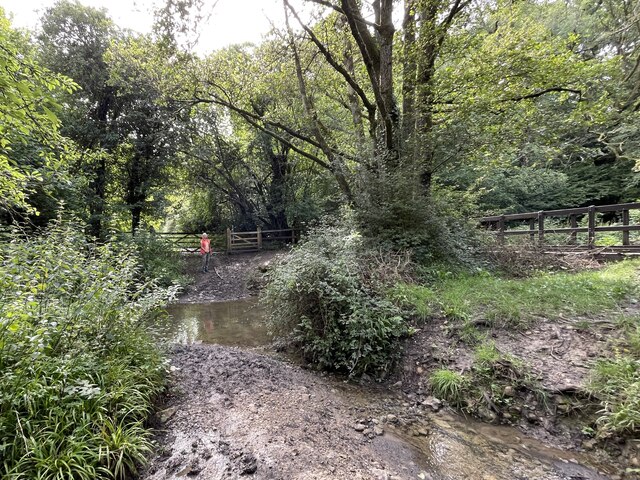
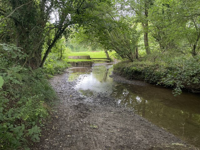
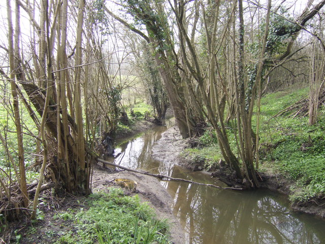
East Stanley Wood is a quaint and picturesque woodland located in the county of Gloucestershire, England. Nestled within the expansive Forest of Dean, it covers an area of approximately 100 hectares. This ancient woodland is renowned for its natural beauty, making it a popular destination for nature lovers and outdoor enthusiasts.

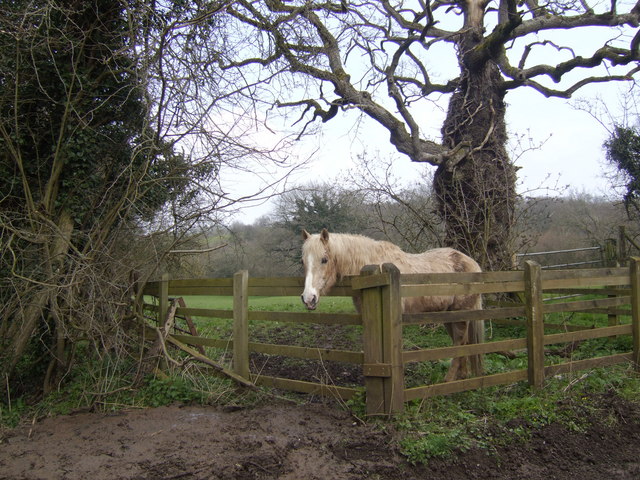
The woodland is predominantly made up of oak and beech trees, which create a dense and lush canopy overhead. The forest floor is carpeted with a variety of flora, including bluebells, ferns, and wild garlic, adding to the enchanting atmosphere of the wood. The diverse ecosystem supports a plethora of wildlife, including deer, foxes, badgers, and a wide array of bird species.

East Stanley Wood is crisscrossed with a network of well-maintained walking trails, allowing visitors to explore the woodland at their leisure. These trails range in difficulty, catering to both casual strollers and avid hikers. Along the way, there are several designated picnic areas and benches where visitors can take a break and immerse themselves in the tranquil surroundings.

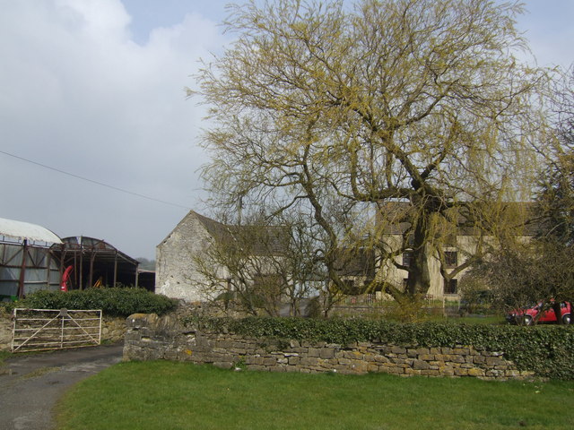
In addition to its natural beauty, East Stanley Wood also boasts a rich history. The wood has been used for centuries as a source of timber and charcoal, contributing to the local economy. Today, the woodland is managed by the Forestry Commission, ensuring its preservation and conservation for future generations to enjoy.

Overall, East Stanley Wood offers a serene and idyllic retreat for those seeking solace in nature. Its breathtaking scenery, diverse wildlife, and well-maintained trails make it a must-visit destination for nature enthusiasts and those looking to escape the hustle and bustle of everyday life.

If you have any feedback on the listing, please let us know in the comments section below.

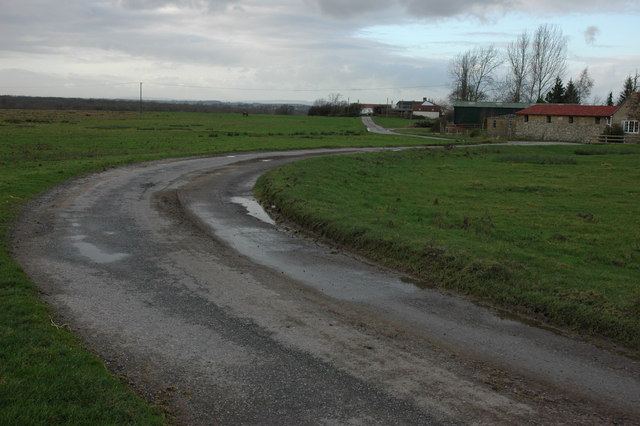
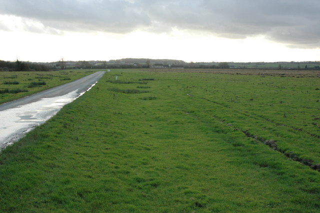
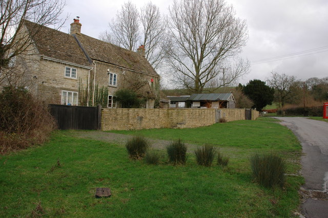
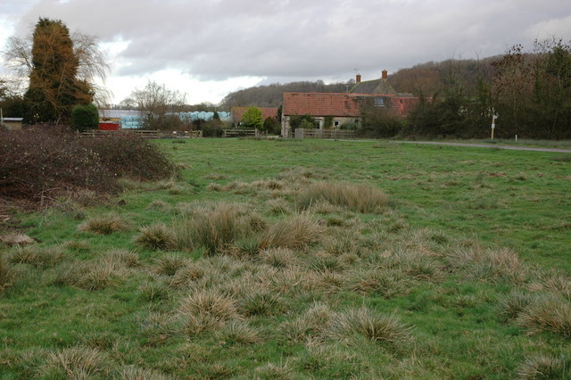
East Stanley Wood Images

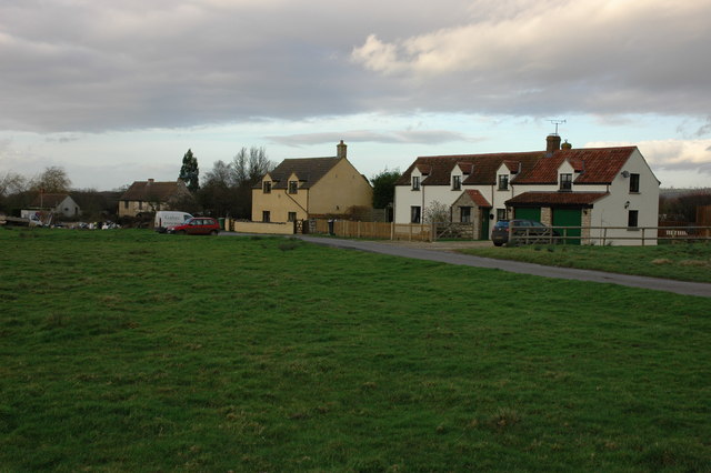
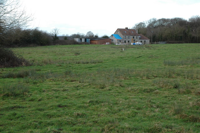
Images are sourced within 2km of 51.589775/-2.3693321 or Grid Reference ST7487. Thanks to Geograph Open Source API. All images are credited.

Ford on Little Avon River This ford on the Little Avon River at Wickwar is found beside Sturt Bridge which is known locally as Roman Bridge as it is on the route of a Roman road. A video of the ford can be viewed at:
<span class="nowrap"><a title="https://youtu.be/Mcgc6bxe6-o" rel="nofollow ugc noopener" href="https://youtu.be/Mcgc6bxe6-o">Link</a><img style="margin-left:2px;" alt="External link" title="External link - shift click to open in new window" src="https://s1.geograph.org.uk/img/external.png" width="10" height="10"/></span>
Ford on Little Avon River
This ford on the Little Avon River at Wickwar is found beside Sturt Bridge which is known locally as Roman Bridge as it is on the route of a Roman road. A video of the ford can be viewed at: LinkExternal link
Lower Wood Ford This ford is found in Lower Wood Nature Reserve a short walk down from the carpark.
Lower Wood Ford
This ford is found in Lower Wood Nature Reserve a short walk down from the carpark.
Ford on Little Avon River This ford is on a Cross Country Course at Castle Farm near Wickwar. A video of the ford taken on an Open Day can be viewed at:
<span class="nowrap"><a title="https://youtu.be/RLzip8NqFQU" rel="nofollow ugc noopener" href="https://youtu.be/RLzip8NqFQU">Link</a><img style="margin-left:2px;" alt="External link" title="External link - shift click to open in new window" src="https://s1.geograph.org.uk/img/external.png" width="10" height="10"/></span>
Ford on Little Avon River
This ford is on a Cross Country Course at Castle Farm near Wickwar. A video of the ford taken on an Open Day can be viewed at: LinkExternal link
Sturt Bridge Hidden away in the valley below the village but well known to locals.  You can find it by walking down Poplar Lane.
Sturt Bridge
Hidden away in the valley below the village but well known to locals. You can find it by walking down Poplar Lane.
Sturt Farm Available for hire (at least in wintertime)
Sturt Farm
Available for hire (at least in wintertime)
Road junction on Hawkesbury Common
Road to Newhouse Farm, Hawkesbury Common
Road across Hawkesbury Common View to the south-south-west with Cat Cottage in the distance.
Road across Hawkesbury Common
View to the south-south-west with Cat Cottage in the distance.
Cottage at Orange End, near Hawkesbury
Oxleaze Farm near Hillesley Oxleaze Farm is situated on the eastern side of Inglestone Common.
Oxleaze Farm near Hillesley
Oxleaze Farm is situated on the eastern side of Inglestone Common.
Cottages on Inglestone Common, near Hillesley
Withymore Farm, Assley Common, Hillesley
Gates and cattle grid Off Chase Lane east of Wickwar.
Gates and cattle grid
Off Chase Lane east of Wickwar.
Road to Mounteney's Farm
Saltmoors Ditch A stream draining from Inglestone Common.
Saltmoors Ditch
A stream draining from Inglestone Common.
Haskin's Farm With a fine willow in typical early leaf.
Haskin's Farm
With a fine willow in typical early leaf.
Go on - take a picture of me! A pony in a field by Horwood Lane. Amazing how horses in particular appear to enjoy being made the subject of photography - never mind the landscape; look at me!
Go on - take a picture of me!
A pony in a field by Horwood Lane. Amazing how horses in particular appear to enjoy being made the subject of photography - never mind the landscape; look at me!
Shortwood Farm, near Wickwar The farm is visible in the background. The metalled driveway leading off to the right is private from the gatepost on. There is a public footpath on the other side of the gate to the left of the image.
Shortwood Farm, near Wickwar
The farm is visible in the background. The metalled driveway leading off to the right is private from the gatepost on. There is a public footpath on the other side of the gate to the left of the image.
Show me another place!

East Stanley Wood is located at Grid Ref: ST7487 (Lat: 51.589775, Lng: -2.3693321)

Unitary Authority: South Gloucestershire

Police Authority: Avon and Somerset

What 3 Words

///smirking.tools.leave. Near Wickwar, Gloucestershire

Related Wikis

Lower Woods

Lower Woods (grid reference ST743876) is a 280.1-hectare (692-acre) biological and geological Site of Special Scientific Interest near the village of Wickwar...

Hawkesbury Meadow

Hawkesbury Meadow (grid reference ST754874) is a 3.3 hectare biological Site of Special Scientific Interest (SSSI) in South Gloucestershire, notified in...

Bishop's Hill Wood

Bishop's Hill Wood (grid reference ST733873) is a 30.6 hectares (76 acres) biological Site of Special Scientific Interest (SSSI) in England. It lies just...

Yarley Meadows

Yarley Meadows (grid reference ST757888) is a 12.2-hectare (30-acre) biological Site of Special Scientific Interest in Gloucestershire, England, notified...

Nearby Amenities

Located within 500m of 51.589775,-2.3693321
Information: guidepost
Ref: 19
Source: survey
Tourism: information
Lat/Long: 51.5898504/-2.370069
Fixme: verify route of bridleway (seems to start at gate by bridge and go south)
Lat/Long: 51.5873/-2.3687245
Information: guidepost
Ref: 12
Source: survey
Tourism: information
Lat/Long: 51.5926083/-2.3738199
Information: guidepost
Ref: 35
Source: survey
Tourism: information
Lat/Long: 51.5873873/-2.3684968
Lower Woods Nature Reserve
Board Type: nature
Check Date: 2021-11-19
Information: board
Tourism: information
Lat/Long: 51.5910324/-2.3682302
Information: guidepost
Ref: 22
Source: survey
Tourism: information
Lat/Long: 51.5913942/-2.3699677
Information: guidepost
Ref: 24
Source: survey
Tourism: information
Lat/Long: 51.5934516/-2.3718259
Information: guidepost
Ref: 13
Source: survey
Tourism: information
Lat/Long: 51.5914181/-2.3744388
Information: guidepost
Ref: 15
Source: survey
Tourism: information
Lat/Long: 51.5909905/-2.3745569
Information: guidepost
Ref: 17
Source: survey
Tourism: information
Lat/Long: 51.5899072/-2.3710844
Information: guidepost
Ref: 16
Source: survey
Tourism: information
Lat/Long: 51.5900047/-2.371904
Information: guidepost
Ref: 18;38
Source: survey
Tourism: information
Lat/Long: 51.5896875/-2.369968
Information: guidepost
Ref: 14
Source: survey
Tourism: information
Lat/Long: 51.5911489/-2.3745717
Barrier: kissing_gate
Foot: yes
Source: survey
Lat/Long: 51.5912337/-2.3685671
Information: guidepost
Ref: 3
Source: survey
Tourism: information
Lat/Long: 51.5922275/-2.3688071
Barrier: kissing_gate
Foot: yes
Information: guidepost
Ref: 4
Source: survey
Tourism: information
Lat/Long: 51.5936113/-2.3694134
Information: guidepost
Ref: 6
Source: survey
Tourism: information
Lat/Long: 51.5936339/-2.3716987
Information: guidepost
Ref: 5
Source: survey
Tourism: information
Lat/Long: 51.5937563/-2.3694248
Information: guidepost
Ref: 7
Source: survey
Tourism: information
Lat/Long: 51.5937589/-2.3716388
Fixme: incomplete
Lat/Long: 51.5938058/-2.3692203
Description: Leaflets for walks round the wood
Information: leaflets
Tourism: information
Lat/Long: 51.5910546/-2.3682145
Fixme: incomplete
Lat/Long: 51.5938922/-2.3715372
The data included in this document is from www.openstreetmap.org. The data is made available under ODbL.

Have you been to East Stanley Wood?

Leave your review of East Stanley Wood below (or comments, questions and feedback).