Littley Wood

Wood, Forest in Gloucestershire

England

Littley Wood

Flooded road at Lower Chalkley Farm The result of a rapid thaw of snow.
Flooded road at Lower Chalkley Farm Credit: Sandy Gerrard

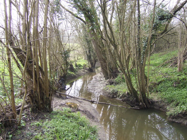
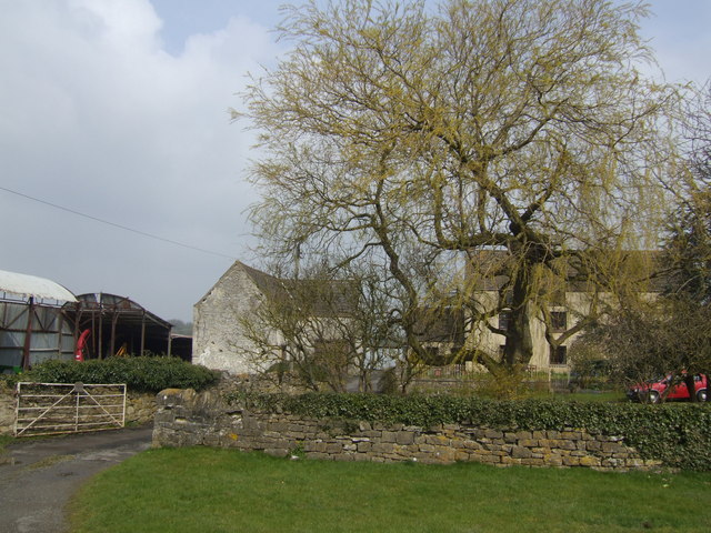
Littley Wood is a picturesque woodland located in the county of Gloucestershire, England. Situated in the heart of the Forest of Dean, this charming wood covers an area of approximately 50 hectares. It is well-known for its dense canopy of trees and diverse range of flora and fauna.

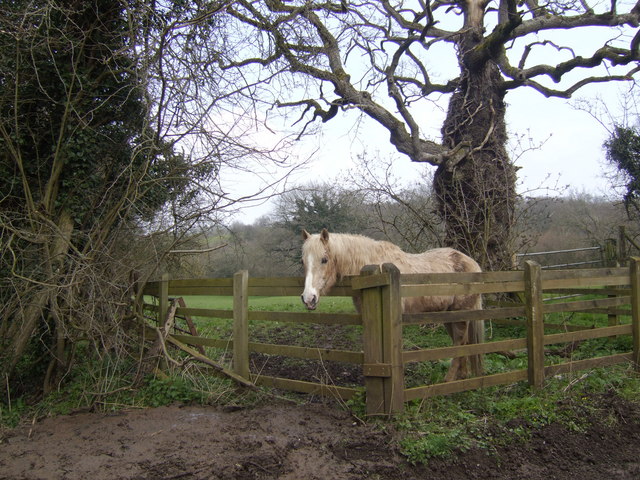
The wood is predominantly composed of native broadleaf trees, including oak, beech, and ash. These towering trees create a dense and enchanting forest environment, providing a haven for wildlife. Littley Wood is home to a variety of species, such as deer, foxes, badgers, and numerous bird species. Birdwatchers often flock to the wood to catch a glimpse of the rare and elusive species that call it home.

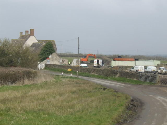
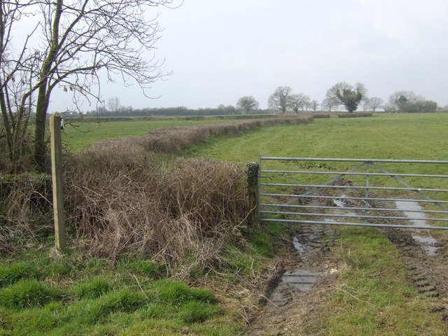
Visitors can explore Littley Wood through a network of well-maintained footpaths and trails. These paths wind through the forest, creating a sense of tranquility and offering stunning views of the surrounding landscape. The wood is popular with walkers, hikers, and nature enthusiasts who come to immerse themselves in the natural beauty of the area.

Littley Wood is also a site of historical significance. It has remnants of ancient charcoal platforms, evidence of the wood's historical use in the production of charcoal. These remnants serve as a reminder of the area's industrial past and provide an interesting glimpse into the local history.

Overall, Littley Wood is a captivating woodland that offers visitors a chance to escape the hustle and bustle of everyday life and immerse themselves in the beauty of nature. Its rich biodiversity, well-maintained trails, and historical significance make it a popular destination for both locals and tourists alike.

If you have any feedback on the listing, please let us know in the comments section below.
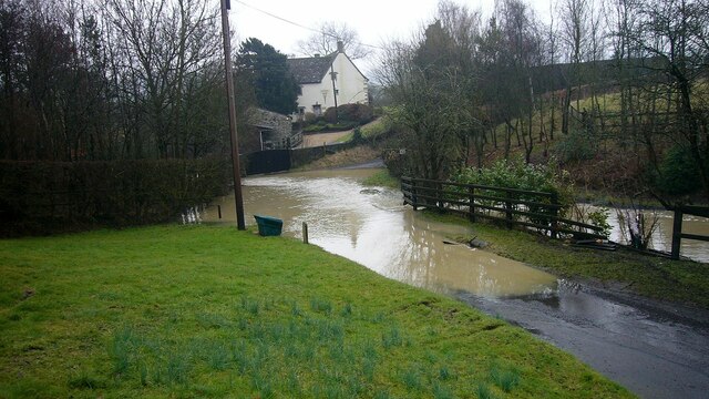
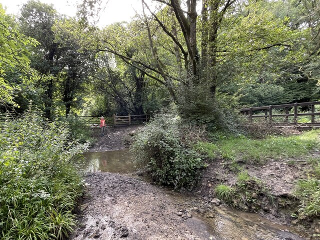
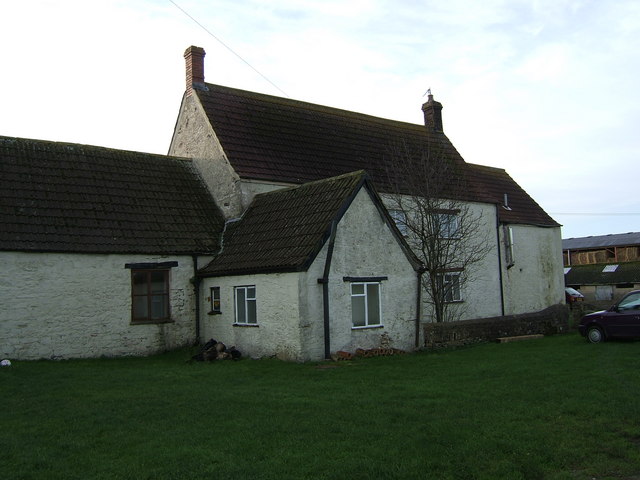
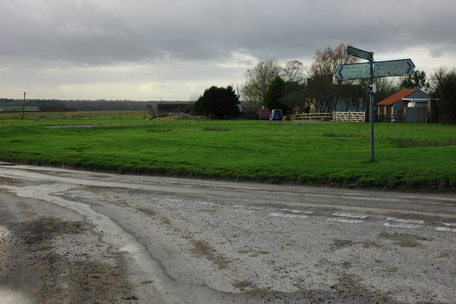
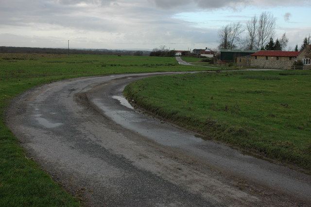
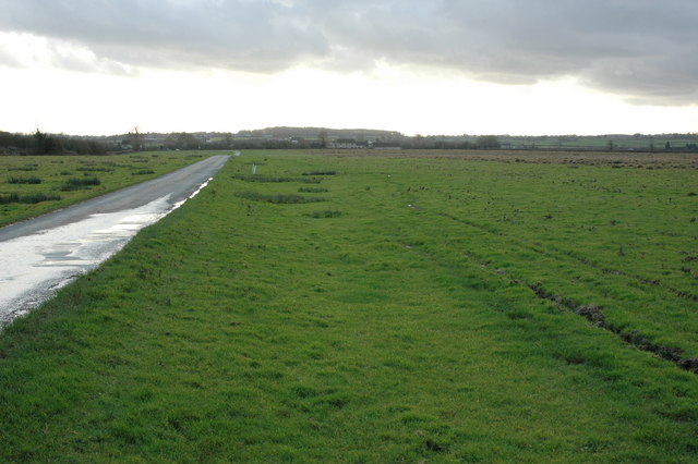
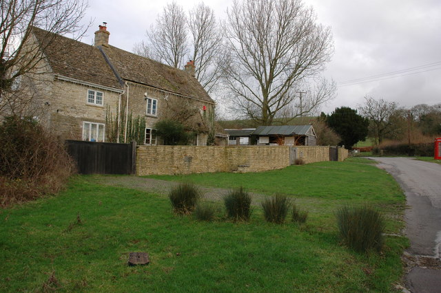
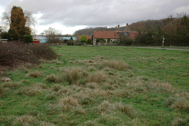
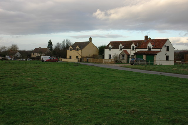
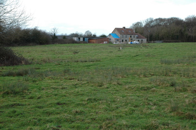
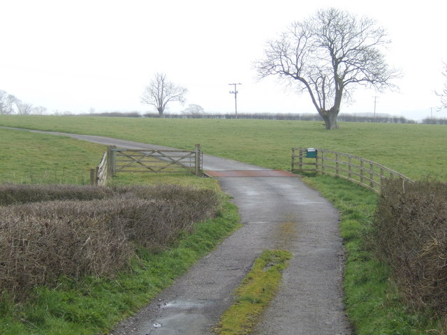
Littley Wood Images

Images are sourced within 2km of 51.585297/-2.3662792 or Grid Reference ST7487. Thanks to Geograph Open Source API. All images are credited.

Flooded road at Lower Chalkley Farm The result of a rapid thaw of snow.
Flooded road at Lower Chalkley Farm
The result of a rapid thaw of snow.
Ford on Little Avon River This ford on the Little Avon River at Wickwar is found beside Sturt Bridge which is known locally as Roman Bridge as it is on the route of a Roman road. A video of the ford can be viewed at:
<span class="nowrap"><a title="https://youtu.be/Mcgc6bxe6-o" rel="nofollow ugc noopener" href="https://youtu.be/Mcgc6bxe6-o">Link</a><img style="margin-left:2px;" alt="External link" title="External link - shift click to open in new window" src="https://s1.geograph.org.uk/img/external.png" width="10" height="10"/></span>
Ford on Little Avon River
This ford on the Little Avon River at Wickwar is found beside Sturt Bridge which is known locally as Roman Bridge as it is on the route of a Roman road. A video of the ford can be viewed at: LinkExternal link
Lower Wood Ford This ford is found in Lower Wood Nature Reserve a short walk down from the carpark.
Lower Wood Ford
This ford is found in Lower Wood Nature Reserve a short walk down from the carpark.
Sturt Bridge Hidden away in the valley below the village but well known to locals.  You can find it by walking down Poplar Lane.
Sturt Bridge
Hidden away in the valley below the village but well known to locals. You can find it by walking down Poplar Lane.
Sturt Farm Available for hire (at least in wintertime)
Sturt Farm
Available for hire (at least in wintertime)
Road junction on Hawkesbury Common
Road to Newhouse Farm, Hawkesbury Common
Road across Hawkesbury Common View to the south-south-west with Cat Cottage in the distance.
Road across Hawkesbury Common
View to the south-south-west with Cat Cottage in the distance.
Cottage at Orange End, near Hawkesbury
Oxleaze Farm near Hillesley Oxleaze Farm is situated on the eastern side of Inglestone Common.
Oxleaze Farm near Hillesley
Oxleaze Farm is situated on the eastern side of Inglestone Common.
Cottages on Inglestone Common, near Hillesley
Withymore Farm, Assley Common, Hillesley
Road to Mounteney's Farm
Saltmoors Ditch A stream draining from Inglestone Common.
Saltmoors Ditch
A stream draining from Inglestone Common.
Haskin's Farm With a fine willow in typical early leaf.
Haskin's Farm
With a fine willow in typical early leaf.
Development at Bix Farm This substantial building is receiving a "full-on makeover"!
Development at Bix Farm
This substantial building is receiving a "full-on makeover"!
Footpath off Vinney Lane Heading West towards Springfield Farm.
Footpath off Vinney Lane
Heading West towards Springfield Farm.
Go on - take a picture of me! A pony in a field by Horwood Lane. Amazing how horses in particular appear to enjoy being made the subject of photography - never mind the landscape; look at me!
Go on - take a picture of me!
A pony in a field by Horwood Lane. Amazing how horses in particular appear to enjoy being made the subject of photography - never mind the landscape; look at me!
Show me another place!

Littley Wood is located at Grid Ref: ST7487 (Lat: 51.585297, Lng: -2.3662792)

Unitary Authority: South Gloucestershire

Police Authority: Avon and Somerset

What 3 Words

///slider.yourself.throwaway. Near Wickwar, Gloucestershire

Related Wikis

Lower Woods

Lower Woods (grid reference ST743876) is a 280.1-hectare (692-acre) biological and geological Site of Special Scientific Interest near the village of Wickwar...

Hawkesbury Meadow

Hawkesbury Meadow (grid reference ST754874) is a 3.3 hectare biological Site of Special Scientific Interest (SSSI) in South Gloucestershire, notified in...

Bishop's Hill Wood

Bishop's Hill Wood (grid reference ST733873) is a 30.6 hectares (76 acres) biological Site of Special Scientific Interest (SSSI) in England. It lies just...

Yarley Meadows

Yarley Meadows (grid reference ST757888) is a 12.2-hectare (30-acre) biological Site of Special Scientific Interest in Gloucestershire, England, notified...

Church of St Mary, Hawkesbury

The Church of St Mary in Hawkesbury, South Gloucestershire, England was built in the 12th century. It is a Grade I listed building. == History == The church...

Hawkesbury Quarry

Hawkesbury Quarry (grid reference ST771873) is a 0.25-hectare (0.62-acre) geological Site of Special Scientific Interest near the village of Hawkesbury...

Wickwar

Wickwar is a village and civil parish in Gloucestershire, England, located between Yate and Charfield. At the 2001 census, the parish had a population...

Lord Robert Somerset

General Lord Robert Edward Henry Somerset (19 December 1776 – 1 September 1842) was a British soldier who fought during the Peninsular War and the War...

Nearby Amenities

Located within 500m of 51.585297,-2.3662792
Fixme: verify route of bridleway (seems to start at gate by bridge and go south)
Lat/Long: 51.5873/-2.3687245
Information: guidepost
Ref: 35
Source: survey
Tourism: information
Lat/Long: 51.5873873/-2.3684968
Ford: yes
Lat/Long: 51.5837545/-2.3692725
Information: guidepost
Ref: 54
Tourism: information
Lat/Long: 51.583218/-2.3676767
Information: guidepost
Ref: 56
Tourism: information
Lat/Long: 51.5842028/-2.366645
Information: guidepost
Ref: 51
Tourism: information
Lat/Long: 51.5835041/-2.3692259
Information: guidepost
Ref: 53
Tourism: information
Lat/Long: 51.5838994/-2.3691725
Information: guidepost
Ref: 55
Tourism: information
Lat/Long: 51.5831701/-2.3653459
The data included in this document is from www.openstreetmap.org. The data is made available under ODbL.

Have you been to Littley Wood?

Leave your review of Littley Wood below (or comments, questions and feedback).