Spring Plantation
Wood, Forest in Dorset
England
Spring Plantation
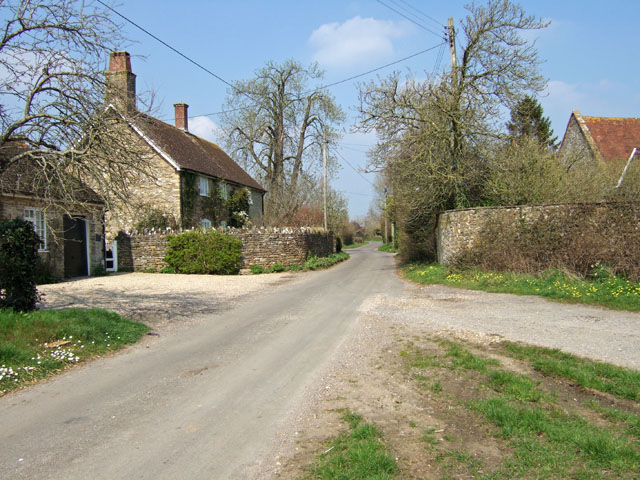
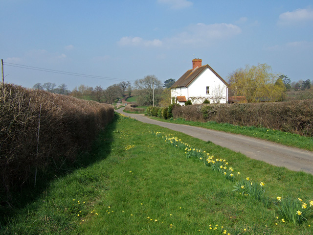
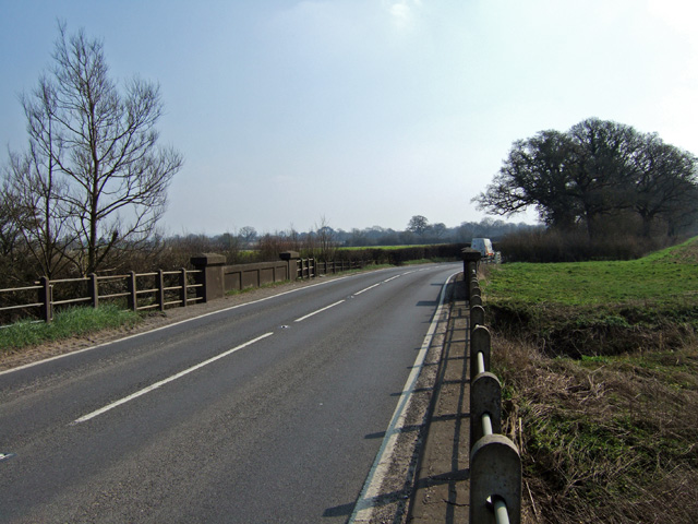
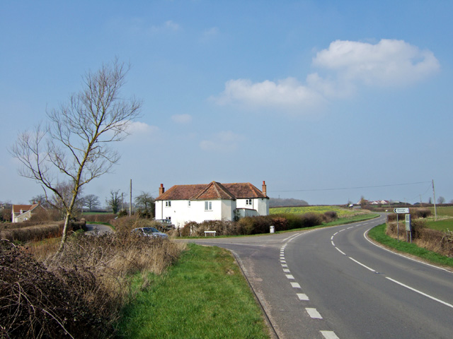
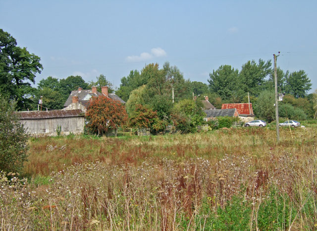
Spring Plantation is a picturesque woodland area located in Dorset, England. Situated in the heart of the county, this enchanting forest covers a vast area of approximately 200 acres, offering visitors a serene and tranquil escape from the bustling city life.
The plantation is renowned for its stunning display of vibrant spring blossoms, which attract nature enthusiasts and photographers from far and wide. The forest is primarily composed of native tree species, including oak, beech, and birch, creating a diverse and rich ecosystem. The towering trees provide a dense canopy that filters the sunlight, creating a cool and shaded atmosphere.
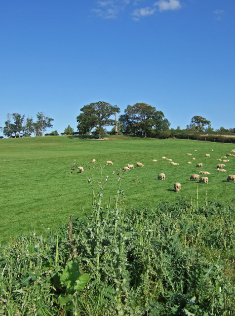
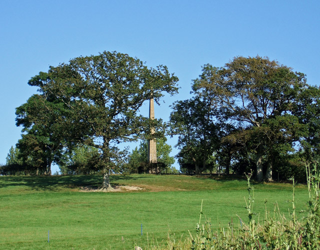
Walking through the plantation, visitors can explore a network of well-maintained trails that wind through the forest, offering breathtaking views and opportunities for outdoor activities. The paths are surrounded by a carpet of lush green moss and wildflowers, enhancing the natural beauty of the area. The plantation is also home to a variety of wildlife, including deer, squirrels, and a wide array of bird species, making it a haven for wildlife enthusiasts.
Spring Plantation is managed by a dedicated team of conservationists who strive to maintain the natural integrity of the area. They work diligently to protect the delicate balance of the ecosystem and ensure the preservation of the plantation's unique flora and fauna.
Overall, Spring Plantation in Dorset is a captivating destination for nature lovers, providing a peaceful retreat where visitors can immerse themselves in the beauty of nature and enjoy the tranquility of the forest.
If you have any feedback on the listing, please let us know in the comments section below.
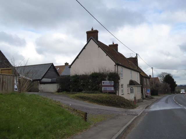
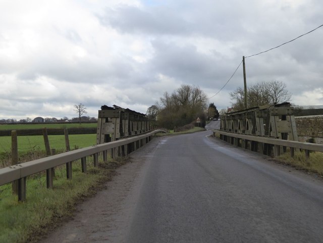
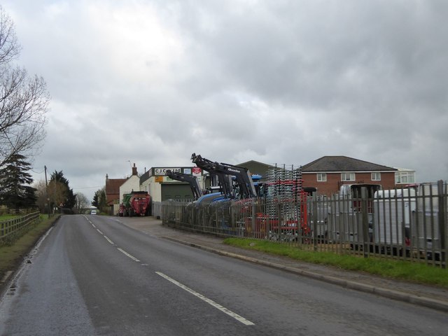
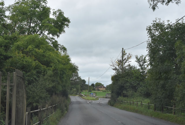
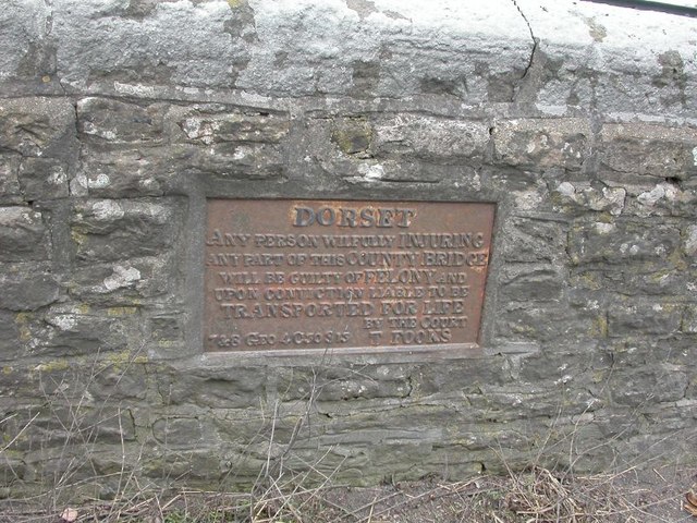
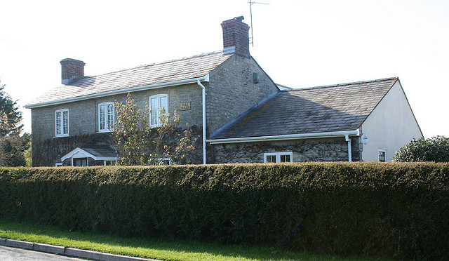
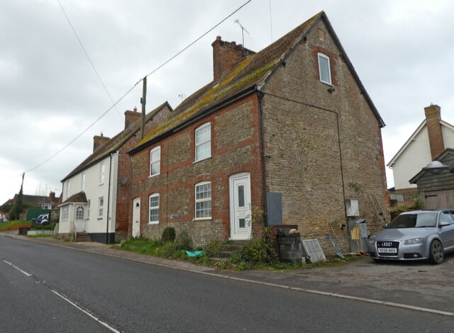
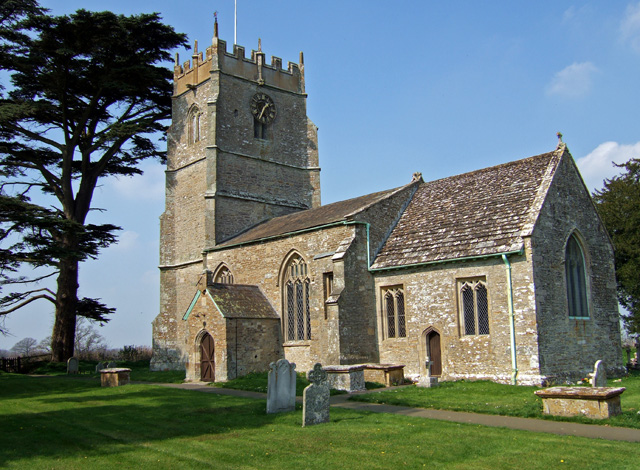
Spring Plantation Images
Images are sourced within 2km of 50.931656/-2.36745 or Grid Reference ST7414. Thanks to Geograph Open Source API. All images are credited.


Spring Plantation is located at Grid Ref: ST7414 (Lat: 50.931656, Lng: -2.36745)
Unitary Authority: Dorset
Police Authority: Dorset
What 3 Words
///growth.monopoly.vaulting. Near Stalbridge, Dorset
Nearby Locations
Related Wikis

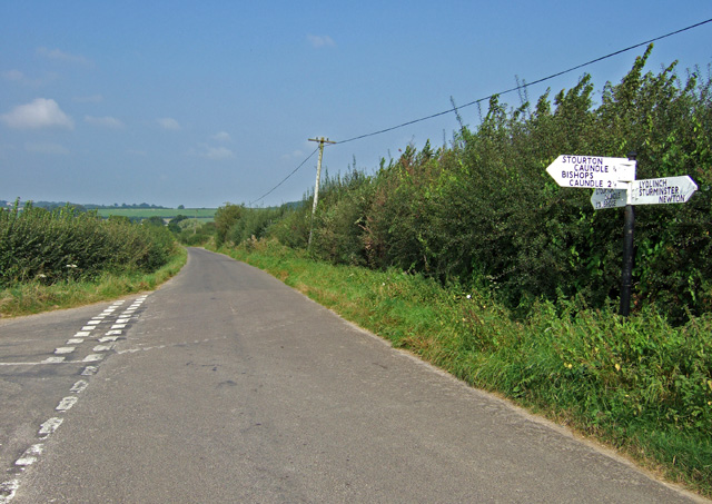
Caundle Brook
Caundle Brook is a 13.4 miles (21.6 km) tributary of the River Lydden that flows through Blackmore Vale in Dorset, England.Its headwaters rise at the foot...

Lydlinch
Lydlinch is a village and civil parish in the Blackmore Vale in north Dorset, England, about three miles (five kilometres) west of Sturminster Newton....
Bagber
Bagber is a hamlet in the county of Dorset in southern England, situated about 2 miles (3.2 km) west and northwest of Sturminster Newton in the Dorset...
Stourton Caundle
Stourton Caundle is a village and civil parish in the county of Dorset in southwest England. It lies within the Blackmore Vale, about five miles (eight...

Brownshall Hundred
Brownshall Hundred was a hundred in the county of Dorset, England, containing the following parishes: Holwell (transferred from Somerset 1844) Lydlinch...

Stalbridge
Stalbridge () is a town and civil parish in Dorset, England, situated in the Blackmore Vale, near the border with Somerset. In the 2011 census the civil...
River Lydden
The River Lydden is a 15.25 miles (24.55 km) tributary of the River Stour that flows through Blackmore Vale in Dorset, England.Its headwaters rise at the...
Stalbridge railway station
Stalbridge railway station was a station in Stalbridge in the county of Dorset, England. It was located on the Somerset and Dorset Joint Railway. Sited...
Nearby Amenities
Located within 500m of 50.931656,-2.36745Have you been to Spring Plantation?
Leave your review of Spring Plantation below (or comments, questions and feedback).