Aldermore Copse

Wood, Forest in Dorset

England

Aldermore Copse

Nordon Hill from private road to Higher Melcombe
Nordon Hill from private road to Higher Melcombe Credit: Becky Williamson

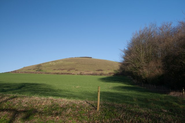
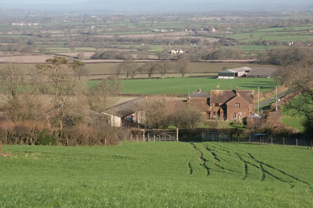
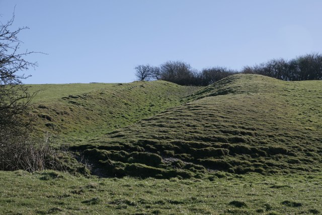
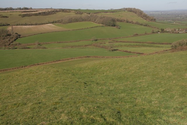
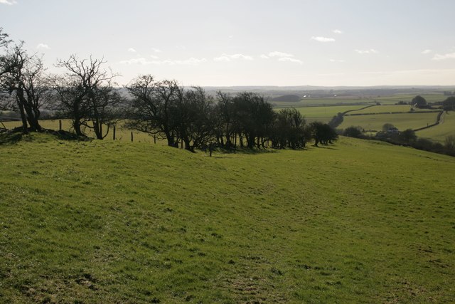
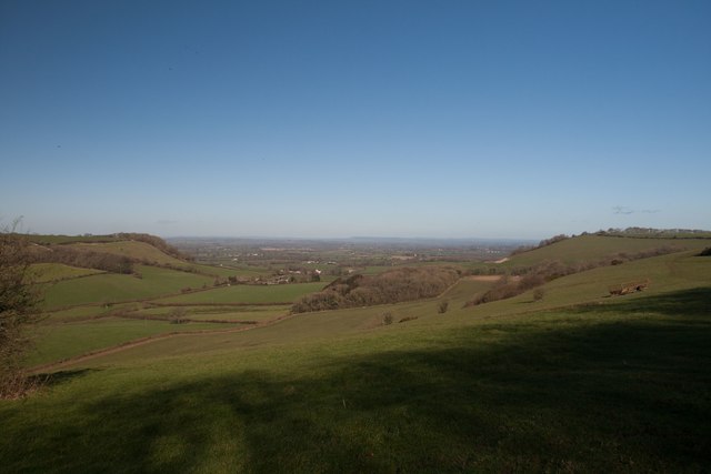
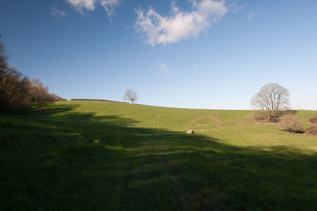
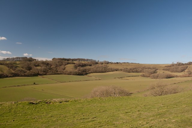
Aldermore Copse is a picturesque woodland located in the county of Dorset, England. Covering an area of approximately 50 acres, it is a haven for nature lovers and outdoor enthusiasts alike. The copse is primarily composed of alder trees, from which it derives its name, but also features a diverse range of other tree species such as oak, beech, and ash.

The woodland is known for its rich biodiversity and serves as a vital habitat for a variety of flora and fauna. It boasts a vibrant understorey, with an array of wildflowers including bluebells, primroses, and wood anemones, which create a stunning display during the spring months. The forest floor is carpeted with a lush layer of moss and ferns, adding to the enchanting atmosphere.

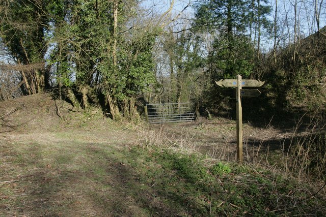
Aldermore Copse is crisscrossed by a network of well-maintained footpaths, allowing visitors to explore the woods and enjoy the peaceful surroundings. The paths meander through the trees, offering glimpses of wildlife such as deer, foxes, and a myriad of bird species. It is a popular destination for birdwatchers, who can spot woodpeckers, owls, and various songbirds nesting and foraging among the branches.

The copse is managed by the local authorities to maintain its natural beauty and preserve its ecological value. It is a designated Site of Special Scientific Interest (SSSI) due to its diverse range of plant species and importance as a wildlife habitat. Visitors are encouraged to respect the woodland and adhere to the designated paths to minimize human impact on the delicate ecosystem.

In summary, Aldermore Copse in Dorset is a charming woodland that offers a tranquil retreat for nature enthusiasts. With its varied tree species, vibrant understorey, and abundant wildlife, it provides a delightful experience for those seeking to immerse themselves in the beauty of nature.

If you have any feedback on the listing, please let us know in the comments section below.

Aldermore Copse Images

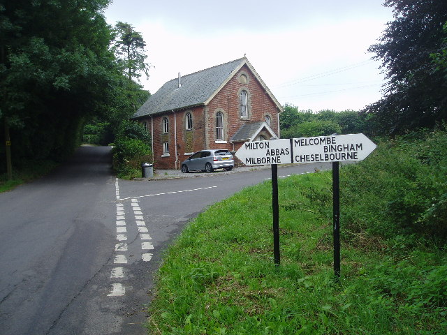
Images are sourced within 2km of 50.829145/-2.3665447 or Grid Reference ST7403. Thanks to Geograph Open Source API. All images are credited.

Nordon Hill from private road to Higher Melcombe
Leading to Melcombe Park Farm from the south
Benchmark on Pump House, Cross Lanes Ordnance Survey benchmark, described on database at <span class="nowrap"><a title="http://www.bench-marks.org.uk/bm47096" rel="nofollow ugc noopener" href="http://www.bench-marks.org.uk/bm47096">Link</a><img style="margin-left:2px;" alt="External link" title="External link - shift click to open in new window" src="https://s1.geograph.org.uk/img/external.png" width="10" height="10"/></span>. See also <a href="https://www.geograph.org.uk/photo/4807920">ST7502 : Pump House, Cross Lanes</a>.
Benchmark on Pump House, Cross Lanes
Ordnance Survey benchmark, described on database at LinkExternal link. See also ST7502 : Pump House, Cross Lanes.
Pump House, Cross Lanes There is an Ordnance Survey benchmark on this building (left side of door). For photo, see <a href="https://www.geograph.org.uk/photo/4807918">ST7502 : Benchmark on Pump House, Cross Lanes</a>. For full description on database, see <span class="nowrap"><a title="http://www.bench-marks.org.uk/bm47096" rel="nofollow ugc noopener" href="http://www.bench-marks.org.uk/bm47096">Link</a><img style="margin-left:2px;" alt="External link" title="External link - shift click to open in new window" src="https://s1.geograph.org.uk/img/external.png" width="10" height="10"/></span>.
Pump House, Cross Lanes
There is an Ordnance Survey benchmark on this building (left side of door). For photo, see ST7502 : Benchmark on Pump House, Cross Lanes. For full description on database, see LinkExternal link.
Cross dyke on Higher Hill Cross dykes apparently formed prehistoric land boundaries. There are quite a few on this ridgeway in this beautiful part of Dorset.
Cross dyke on Higher Hill
Cross dykes apparently formed prehistoric land boundaries. There are quite a few on this ridgeway in this beautiful part of Dorset.
Cross dyke on Higher Hill Another prehistoric land boundary on this beautiful ridge.
Cross dyke on Higher Hill
Another prehistoric land boundary on this beautiful ridge.
Funny building at footpath crossroads on Nettlecombe Tout This building appears to have no other purpose than being a place to put footpath signs, but maybe I'm missing something.
Funny building at footpath crossroads on Nettlecombe Tout
This building appears to have no other purpose than being a place to put footpath signs, but maybe I'm missing something.
Cross dyke near Higher Melcombe A prehistoric land boundary. There is a plethora of these in the area.
Cross dyke near Higher Melcombe
A prehistoric land boundary. There is a plethora of these in the area.
Hedge on Hog Hill
Hedge on Hog Hill
View north from Higher Hill Nettlecombe Tout visible on the left of the photo.
View north from Higher Hill
Nettlecombe Tout visible on the left of the photo.
Erstwhile Fox Inn, Folly Now a private residence, one of the only ones in the hamlet of Folly and situated between Plush and Mappowder.
Erstwhile Fox Inn, Folly
Now a private residence, one of the only ones in the hamlet of Folly and situated between Plush and Mappowder.
Eastern flanks of Nettlecombe Tout
Signpost at Dorsetshire Gap This ancient intersection has a visitors' book for passers-by to sign as they pass through.
Signpost at Dorsetshire Gap
This ancient intersection has a visitors' book for passers-by to sign as they pass through.
Springwood Farm
Springwood Farm
Lyscombe Bottom
Lyscombe Bottom
Higher Melcombe Farm There is a benchmark on the building on the right. See <a href="https://www.geograph.org.uk/photo/4963247">ST7402 : Benchmark on building, Higher Melcombe Farm</a>.
Higher Melcombe Farm
There is a benchmark on the building on the right. See ST7402 : Benchmark on building, Higher Melcombe Farm.
Benchmark on building, Higher Melcombe Farm Ordnance Survey benchmark, described on database at <span class="nowrap"><a title="http://www.bench-marks.org.uk/bm75743" rel="nofollow ugc noopener" href="http://www.bench-marks.org.uk/bm75743">Link</a><img style="margin-left:2px;" alt="External link" title="External link - shift click to open in new window" src="https://s1.geograph.org.uk/img/external.png" width="10" height="10"/></span>. See also <a href="https://www.geograph.org.uk/photo/4963245">ST7402 : Higher Melcombe Farm</a>.
Benchmark on building, Higher Melcombe Farm
Ordnance Survey benchmark, described on database at LinkExternal link. See also ST7402 : Higher Melcombe Farm.
Wessex Ridgeway descending into Kithill Plantation On the descent down the eastern flanks of Ball Hill, showing some exposure of chalk as the plantation is entered.
Wessex Ridgeway descending into Kithill Plantation
On the descent down the eastern flanks of Ball Hill, showing some exposure of chalk as the plantation is entered.
Show me another place!

Aldermore Copse is located at Grid Ref: ST7403 (Lat: 50.829145, Lng: -2.3665447)

Unitary Authority: Dorset

Police Authority: Dorset

What 3 Words

///shell.shackles.crypt. Near Milborne St Andrew, Dorset

Related Wikis

Lyscombe Hill

Lyscombe Hill (262 metres, 860 feet high) is a hill near Melcombe Bingham about 14 kilometres north-northeast of Dorchester in the county of Dorset, England...

Melcombe Horsey

Melcombe Horsey is a civil parish in the county of Dorset in South West England. It contains the small settlements of Melcombe Bingham, Bingham's Melcombe...

Ball Hill, Dorset

At 251 metres, Ball Hill is one of the highest hills in the county of Dorset, England, and is on the Wessex Ridgeway. == Location == The summit of Ball...

Ansty, Dorset

Ansty is a village in Dorset, England, north of Cheselbourne and west of Milton Abbas. It consists of the settlements of Higher Ansty, Lower Ansty, Pleck...

Ansty Cross

Ansty Cross is a village in Dorset, England.

Aller, Dorset

Aller is a village in Dorset, England.

Mappowder

Mappowder is a village and civil parish in the county of Dorset in southern England. The parish lies approximately 9 miles (14 kilometres) southeast of...

Plush, Dorset

Plush is a small village in the English county of Dorset. It lies within the civil parish of Piddletrenthide in the west of the county, and is approximately...

Related Videos

WALKS IN DORSET at ANSTY , BINGHAM's MELCOMBE & HILTON (4K)

In this episode of my series “ Walks in Dorset”, I take a 3.5 mile “circular” walk from the village of Ansty to the settlements at ...

WALKS IN DORSET at LYSCOMBE BOTTOM (AND EXPLORING THE DESERTED VILLAGE AT LYSCOMBE) (4K)

In this episode of my series “ Walks in Dorset” I explore around the valley at Lyscombe Bottom – located about 9 miles North of ...

Nearby Amenities

Located within 500m of 50.829145,-2.3665447
Dorsetshire Gap
Alt Name: Dorset Gap
Place: locality
Lat/Long: 50.8273007/-2.365087
The data included in this document is from www.openstreetmap.org. The data is made available under ODbL.

Have you been to Aldermore Copse?

Leave your review of Aldermore Copse below (or comments, questions and feedback).