Hewish Plantation

Wood, Forest in Dorset

England

Hewish Plantation

A3030 in Stock Wood, near Lydlinch
A3030 in Stock Wood, near Lydlinch Credit: David Smith

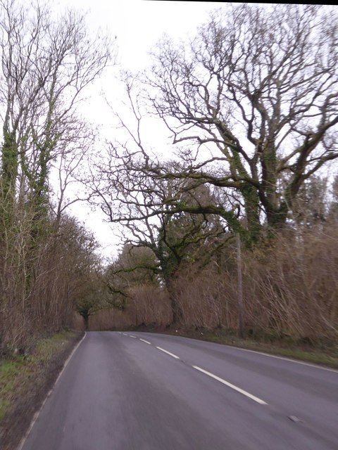
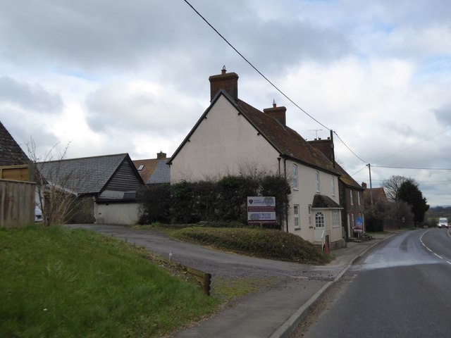
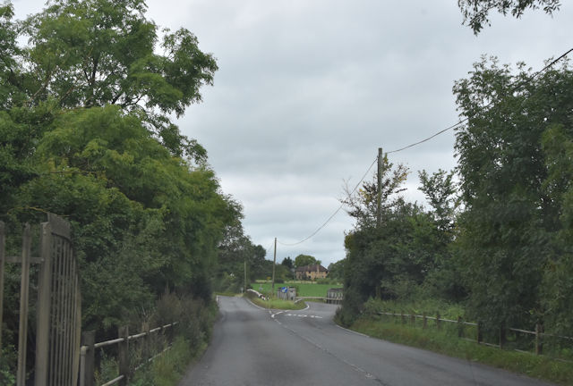
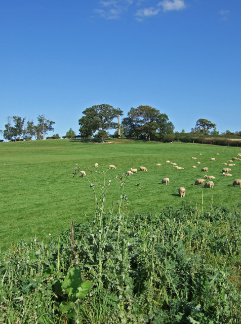
Hewish Plantation is a picturesque wood located in the county of Dorset, England. Situated near the village of Hewish, the plantation covers an area of approximately 200 acres, making it a significant forested area in the region.

The wood comprises mainly of native broadleaf trees, including oak, beech, and ash, which create a diverse and vibrant ecosystem. These trees provide habitat and shelter for numerous wildlife species, including birds, mammals, and insects. The understory of the plantation consists of various shrubs, ferns, and wildflowers, adding to its natural beauty.

Hewish Plantation is a popular destination for nature enthusiasts and outdoor enthusiasts alike. It offers a range of walking trails and paths that wind through the woodland, allowing visitors to explore and appreciate the natural surroundings. These trails vary in length and difficulty, catering to both casual walkers and more experienced hikers.

The plantation is also well-known for its rich history. It is believed to have been established in the mid-19th century and was originally used for timber production. The wood was carefully managed, with selective felling and replanting practices. Today, remnants of these past activities, such as old logging tracks and saw pits, can still be found within the plantation, adding an additional layer of interest for history enthusiasts.

Overall, Hewish Plantation in Dorset is a beautiful and tranquil woodland that offers visitors a chance to immerse themselves in nature, explore its trails, and learn about its rich history.

If you have any feedback on the listing, please let us know in the comments section below.

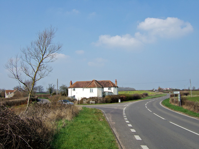
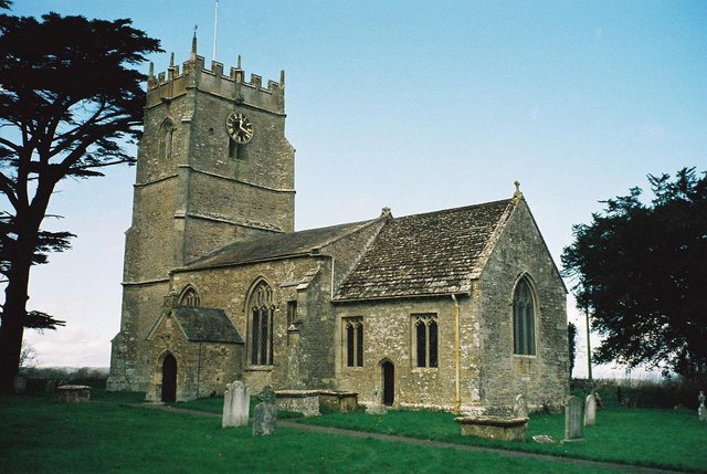
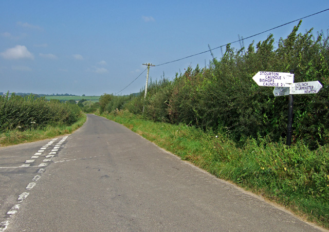
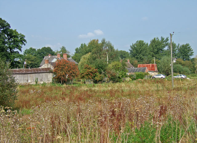
Hewish Plantation Images

Images are sourced within 2km of 50.930163/-2.3676232 or Grid Reference ST7414. Thanks to Geograph Open Source API. All images are credited.

A3030 in Stock Wood, near Lydlinch
Houses in Lydlinch
Houses in Lydlinch
Twofords Bridge, east of Lydlinch
Agricultural equipment dealer, Bagber
Approaching Two Fords Bridge
Old Bridge Marker on Twofords Bridge, by the A357, Lydlinch Parish Bridge Marker by the A357, in parish of Lydlinch (West Dorset District), Twofords Bridge, on old (Southern) carriageway, centre of North parapet.

Inscription reads:- : DORSET / ANY PERSON WILFULLY INJURING / ANY PART OF THIS COUNTY BRIDGE / WILL BE GUILTY OF FELONY AND / UPON CONVICTION LIABLE TO BE / TRANSPORTED FOR LIFE / BY THE COURT / 7 & 8 GEO 4 (? ?) T FOOKS : 

Surveyed

Milestone Society National ID: DO_TRATWFbr.
Old Bridge Marker on Twofords Bridge, by the A357, Lydlinch Parish
Bridge Marker by the A357, in parish of Lydlinch (West Dorset District), Twofords Bridge, on old (Southern) carriageway, centre of North parapet. Inscription reads:- : DORSET / ANY PERSON WILFULLY INJURING / ANY PART OF THIS COUNTY BRIDGE / WILL BE GUILTY OF FELONY AND / UPON CONVICTION LIABLE TO BE / TRANSPORTED FOR LIFE / BY THE COURT / 7 & 8 GEO 4 (? ?) T FOOKS : Surveyed Milestone Society National ID: DO_TRATWFbr.
Bagber Common Toll House by the A357, Chapel Road Toll House by the A357, in the parish of Lydlinch (North Dorset District), Toll House, Chapel Road, Bagber, DT10 2HS.

Surveyed

Milestone Society National ID: DO.LYD
Bagber Common Toll House by the A357, Chapel Road
Toll House by the A357, in the parish of Lydlinch (North Dorset District), Toll House, Chapel Road, Bagber, DT10 2HS. Surveyed Milestone Society National ID: DO.LYD
Old Boundary Marker on Waterloo Lane near Warr Bridge Parish Boundary Marker on the west side of the junction of Waterloo Lane and the A357 Cook's Lane north of Warr Bridge, opposite toll house DO.STA. On the border of Stourton Caundle and Stalbridge parishes.

Milestone Society National ID: DO_STCAST01pb
Old Boundary Marker on Waterloo Lane near Warr Bridge
Parish Boundary Marker on the west side of the junction of Waterloo Lane and the A357 Cook's Lane north of Warr Bridge, opposite toll house DO.STA. On the border of Stourton Caundle and Stalbridge parishes. Milestone Society National ID: DO_STCAST01pb
Three Boars Cottages, Lydlinch
St Thomas a Becket Church Lydlinch The church was completed in 1479 but with an earlier 13th century tower, restored in Tudor times.
St Thomas a Becket Church Lydlinch
The church was completed in 1479 but with an earlier 13th century tower, restored in Tudor times.
Lydlinch
Lydlinch
Cottage at Cox's Water This solitary cottage and the bridge over the River Lydden in the far distance beyond, are the only features which mark this spot just south of Lydlinch.
Cottage at Cox's Water
This solitary cottage and the bridge over the River Lydden in the far distance beyond, are the only features which mark this spot just south of Lydlinch.
Warr Bridge View is of the road bridge crossing of the Caundle Brook, looking south along the A357 towards its junction with the A3030.
Warr Bridge
View is of the road bridge crossing of the Caundle Brook, looking south along the A357 towards its junction with the A3030.
House near Warr Bridge I hesitate to describe this substantial property as a former Toll House, as it seems far too large, yet its architectural style suggests that it might have been at one time. The view is towards the north on the main A357 to Shepton Mallet, at its junction with the minor road to Stourton Caundle.
House near Warr Bridge
I hesitate to describe this substantial property as a former Toll House, as it seems far too large, yet its architectural style suggests that it might have been at one time. The view is towards the north on the main A357 to Shepton Mallet, at its junction with the minor road to Stourton Caundle.
Lydlinch: parish church of St. Thomas à Becket A 15th-century church
Lydlinch: parish church of St. Thomas à Becket
A 15th-century church
Road junction near Brunsell Knap Farm
Lydlinch Common Community Small group of mixed housing estranged from the main village of Lydlinch at Lydlinch Common, from the main road to Sherborne.
Lydlinch Common Community
Small group of mixed housing estranged from the main village of Lydlinch at Lydlinch Common, from the main road to Sherborne.
Hilltop Obelisk Thornhill Park Seen between the two trees is the obelisk erected in 1727 by the artist Sir James Thornhill of Thornhill House, to commemorate the accession of George II.
Hilltop Obelisk Thornhill Park
Seen between the two trees is the obelisk erected in 1727 by the artist Sir James Thornhill of Thornhill House, to commemorate the accession of George II.
Show me another place!

Hewish Plantation is located at Grid Ref: ST7414 (Lat: 50.930163, Lng: -2.3676232)

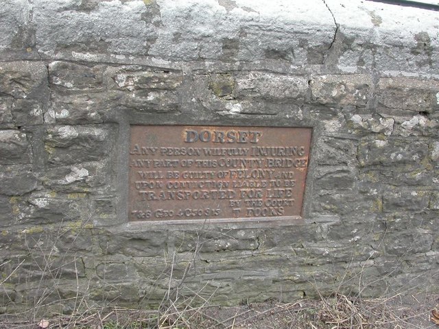
Unitary Authority: Dorset

Police Authority: Dorset

What 3 Words

///dust.bulges.eventful. Near Stalbridge, Dorset

Related Wikis

Caundle Brook

Caundle Brook is a 13.4 miles (21.6 km) tributary of the River Lydden that flows through Blackmore Vale in Dorset, England.Its headwaters rise at the foot...

Lydlinch

Lydlinch is a village and civil parish in the Blackmore Vale in north Dorset, England, about three miles (five kilometres) west of Sturminster Newton....

Bagber

Bagber is a hamlet in the county of Dorset in southern England, situated about 2 miles (3.2 km) west and northwest of Sturminster Newton in the Dorset...

Stourton Caundle

Stourton Caundle is a village and civil parish in the county of Dorset in southwest England. It lies within the Blackmore Vale, about five miles (eight...

Brownshall Hundred

Brownshall Hundred was a hundred in the county of Dorset, England, containing the following parishes: Holwell (transferred from Somerset 1844) Lydlinch...

Stalbridge

Stalbridge () is a town and civil parish in Dorset, England, situated in the Blackmore Vale, near the border with Somerset. In the 2011 census the civil...
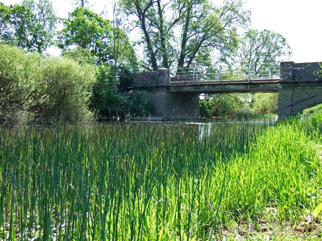
River Lydden

The River Lydden is a 15.25 miles (24.55 km) tributary of the River Stour that flows through Blackmore Vale in Dorset, England.Its headwaters rise at the...

Stalbridge railway station

Stalbridge railway station was a station in Stalbridge in the county of Dorset, England. It was located on the Somerset and Dorset Joint Railway. Sited...

Nearby Amenities

Located within 500m of 50.930163,-2.3676232
The data included in this document is from www.openstreetmap.org. The data is made available under ODbL.

Have you been to Hewish Plantation?

Leave your review of Hewish Plantation below (or comments, questions and feedback).