Smith's Rough
Wood, Forest in Staffordshire Newcastle-under-Lyme
England
Smith's Rough
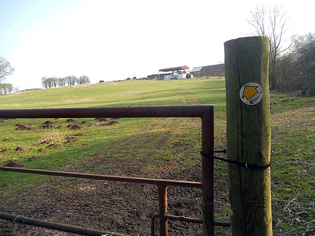
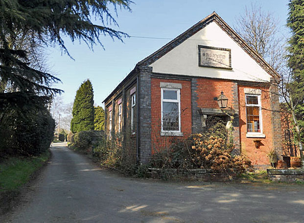
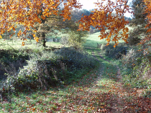
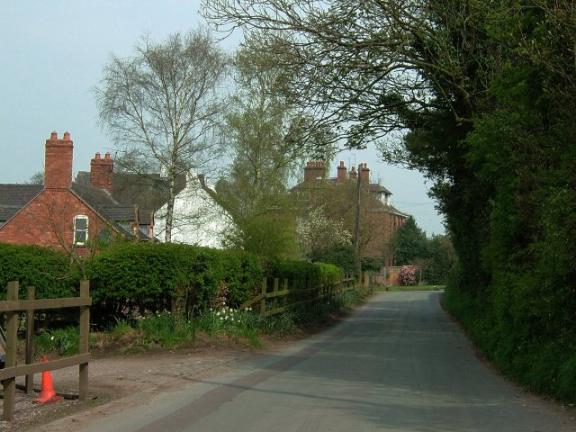
Smith's Rough, Staffordshire (Wood, Forest) is a picturesque woodland located in the county of Staffordshire, England. Covering an area of approximately 100 acres, this enchanting forest is nestled amidst the rolling hills and serene countryside. It is a popular destination for nature lovers, hikers, and those seeking a tranquil retreat from the bustle of urban life.
The forest is characterized by its dense foliage, consisting of a variety of tree species including oak, beech, and birch. These towering trees create a lush canopy, providing shade and shelter for the abundance of wildlife that calls Smith's Rough home. The forest floor is carpeted with a vibrant tapestry of wildflowers, ferns, and mosses, adding to the area's natural beauty.
Several well-maintained trails wind through the forest, offering visitors the opportunity to explore its diverse ecosystem. These paths vary in difficulty, catering to both casual strollers and avid hikers. Along the way, visitors may encounter a myriad of wildlife, including deer, foxes, and a rich variety of bird species.
In addition to its natural splendor, Smith's Rough also boasts a small stream that meanders through its heart. The babbling brook adds a soothing soundtrack to the forest's ambiance, providing a peaceful backdrop for relaxation and reflection.
For those interested in history, Smith's Rough holds a significant cultural heritage. It is believed that the forest has been used by local communities for centuries, with evidence of ancient settlements and archaeological finds within its boundaries.
Overall, Smith's Rough, Staffordshire is a hidden gem, offering visitors a chance to immerse themselves in the beauty of nature and experience the tranquility of a woodland escape.
If you have any feedback on the listing, please let us know in the comments section below.
Smith's Rough Images
Images are sourced within 2km of 52.896978/-2.3852011 or Grid Reference SJ7433. Thanks to Geograph Open Source API. All images are credited.


Smith's Rough is located at Grid Ref: SJ7433 (Lat: 52.896978, Lng: -2.3852011)
Administrative County: Staffordshire
District: Newcastle-under-Lyme
Police Authority: Staffordshire
What 3 Words
///vaulting.owned.hint. Near Market Drayton, Shropshire
Nearby Locations
Related Wikis

Loggerheads, Staffordshire
Loggerheads is a village and civil parish in north-west Staffordshire, England, on the A53 between Market Drayton and Newcastle-under-Lyme. == Name... ==
Blore Heath Rural District
Blore Heath was a rural district in Staffordshire, England from 1894 to 1932. It was created under the Local Government Act 1894 from that part of the...

Hales, Staffordshire
Hales is a village in Staffordshire approximately 2 miles east of Market Drayton. Population details as taken at the 2011 census can be found under Loggerheads...
Armsdale
Armsdale is a village in Staffordshire, England. Population details for the 2011 census can be found under Eccleshall.

Battle of Blore Heath
The Battle of Blore Heath was a battle in the English Wars of the Roses that was fought on 23 September 1459, at Blore Heath, Staffordshire. Blore Heath...

Audley's Cross
Audley's Cross is a cross sited in Blore Heath, Staffordshire to mark the spot on which James Touchet, Lord Audley was killed at the battle of Blore Heath...

Ashley, Staffordshire
Ashley is a village and former civil parish, now in the parish of Loggerheads, in the Newcastle-under-Lyme district, in the county of Staffordshire, England...
Almington
Almington is a small village in Staffordshire, England. It is about 2 miles (3.2 km) east-northeast of Market Drayton by road, to the northwest of the...
Nearby Amenities
Located within 500m of 52.896978,-2.3852011Have you been to Smith's Rough?
Leave your review of Smith's Rough below (or comments, questions and feedback).