Henley Plantation
Wood, Forest in Somerset Mendip
England
Henley Plantation
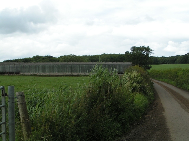
Henley Plantation is a historic estate located in Somerset, England. Situated in a picturesque wood and forest area, the plantation spans over a vast expanse of land, offering breathtaking natural beauty and a peaceful ambiance.
The plantation is well-known for its rich history, dating back several centuries. It was originally established in the 17th century and has since been passed down through generations of the same family. The estate features a grand manor house, which serves as the centerpiece of the property. The manor itself is a stunning example of Georgian architecture and boasts elegant interiors and beautifully landscaped gardens.
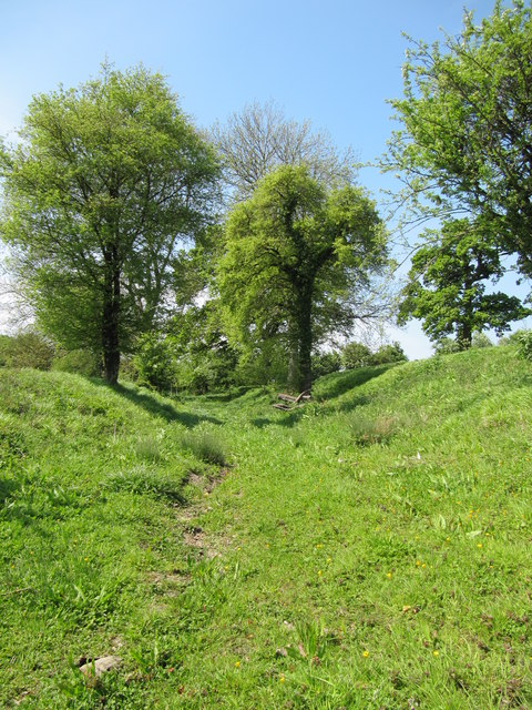
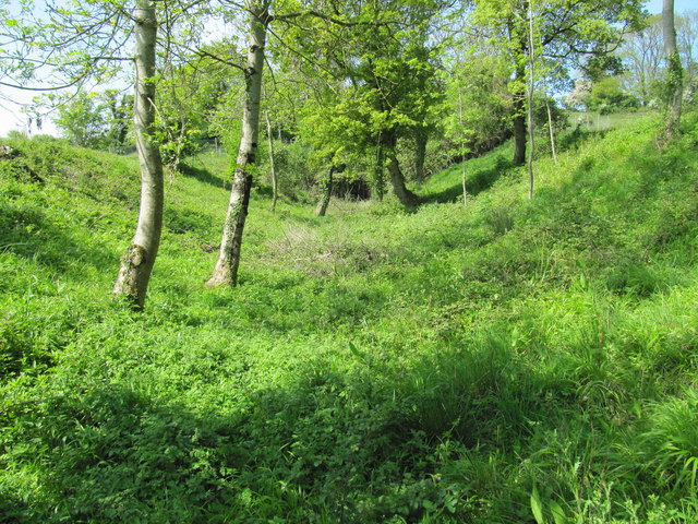
The surrounding wood and forest area of Henley Plantation adds to its charm and allure. Lush greenery, towering trees, and vibrant flora create a serene atmosphere, making it a popular destination for nature enthusiasts and those seeking tranquility. The woodlands are home to a diverse range of wildlife, including deer, birds, and various species of plants and trees.
In addition to its natural beauty, Henley Plantation offers a range of outdoor activities for visitors to enjoy. The estate features walking trails that wind through the woodlands, providing opportunities for hiking, birdwatching, and photography. There are also picnic areas and designated spots for fishing in nearby rivers and streams.
Overall, Henley Plantation in Somerset is a captivating destination that seamlessly combines history, natural beauty, and recreational activities. Whether it's exploring the grand manor house, immersing oneself in the tranquility of the woodlands, or engaging in outdoor pursuits, visitors are sure to have a memorable experience in this idyllic setting.
If you have any feedback on the listing, please let us know in the comments section below.
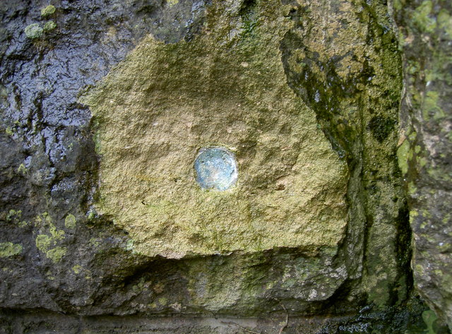
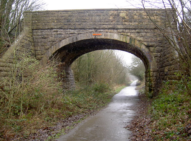
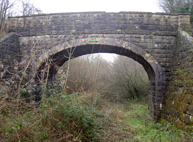
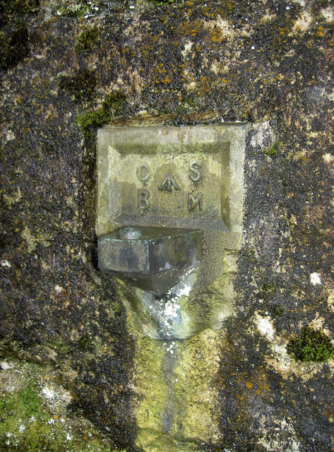
Henley Plantation Images
Images are sourced within 2km of 51.265135/-2.3714091 or Grid Reference ST7451. Thanks to Geograph Open Source API. All images are credited.


Henley Plantation is located at Grid Ref: ST7451 (Lat: 51.265135, Lng: -2.3714091)
Administrative County: Somerset
District: Mendip
Police Authority: Avon and Somerset
What 3 Words
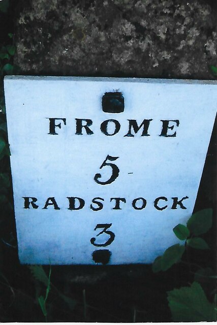
///button.revamping.owns. Near Frome, Somerset
Nearby Locations
Related Wikis

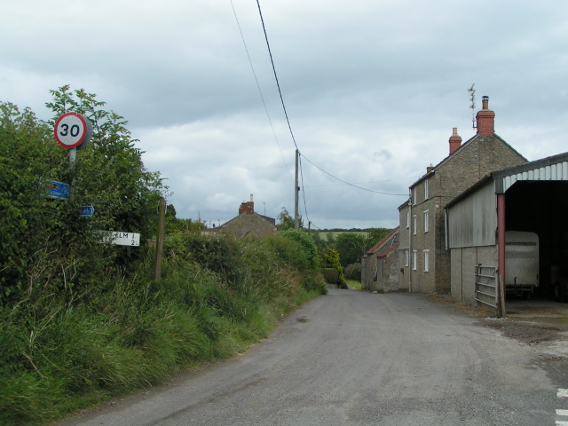
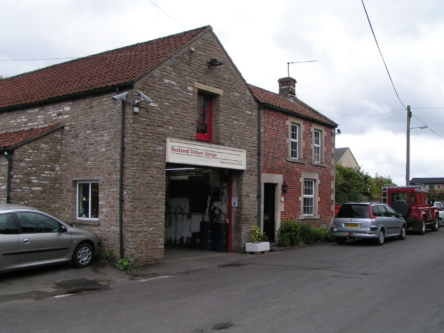
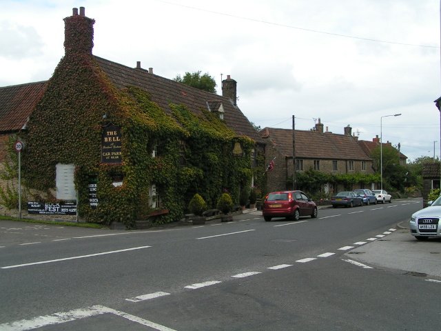
Buckland Dinham
Buckland Dinham is a small village near Frome in Somerset, England. The village has a population of 381. The village's main industry is farming (arable...

St Mary's Church, Hemington
St. Mary's Hemington is an Anglican church in Hemington, Somerset, England. The Norman church underwent major renovation in the 14th, 15th, 17th and 19th...
Hemington, Somerset
Hemington is a village and civil parish 5.5 miles (8.9 km) north west of Frome, in the Mendip district of Somerset, England. It is located just off the...

Kingsdown Camp
Kingsdown Camp is an Iron Age hillfort at Buckland Dinham 4.5 kilometres (3 mi) South East of Radstock, Somerset, England. It is a Scheduled Monument.It...

Great Elm
Great Elm is a village and civil parish between Mells and Frome in the Mendip district of Somerset, England. The parish includes the hamlet of Hapsford...
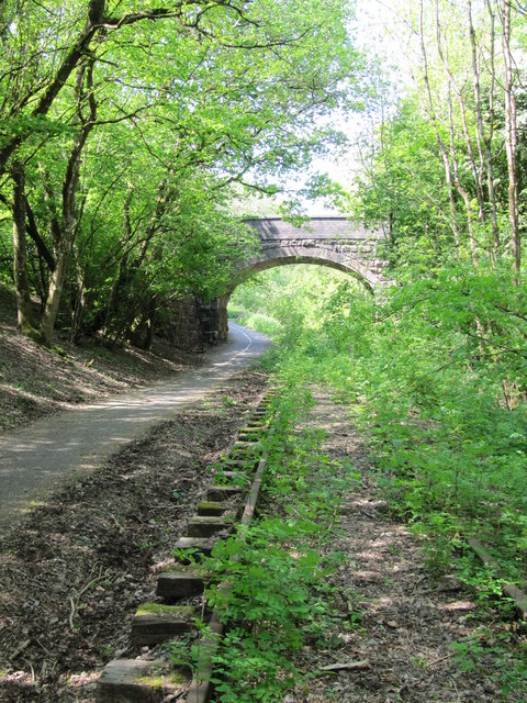
Mells Road railway station
Mells Road railway station served the village of Mells, Somerset, England from 1875 to 1959 linking Radstock to Frome, Somerset on the Heart of Wessex...

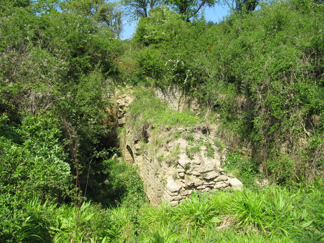
Murtry Aqueduct
Murtry Aqueduct is a three-arched aqueduct that was intended to carry the Dorset and Somerset Canal over the Mells River, near Frome in Somerset, England...

Wadbury Camp
Wadbury Camp is a promontory fort in Somerset, England that protected the mining district of the Mendip Hills in pre-Roman times. It seems to have been...
Related Videos
![Dog walking in the rain on the TWS [4K]](https://i.ytimg.com/vi/DYLibvnzEUM/hqdefault.jpg)
Dog walking in the rain on the TWS [4K]
Out with the dogs around East Midlands Airport in the rain on my Tramper TWS. Lots of mud!

Walk for AnaBella 2021 | 5 Days to go, second target hit! Thank you so much
5 days to go until I set of in Walk for AnaBella 2021 | 28 Marathons in 28 Days. A massive thank you to everyone who has helped ...

In Search of Lavender
Bank Holiday Trip to Lavender field with a pit stop to Bathampton Shot on GoPro Hero 7 Black & iPhone XS Max.

Mells Wall E4 6b
Mells Wall E4 6b Mells Somerset Climbing Limestone.
Nearby Amenities
Located within 500m of 51.265135,-2.3714091Have you been to Henley Plantation?
Leave your review of Henley Plantation below (or comments, questions and feedback).