Backridge Plantation
Wood, Forest in Yorkshire Ribble Valley
England
Backridge Plantation
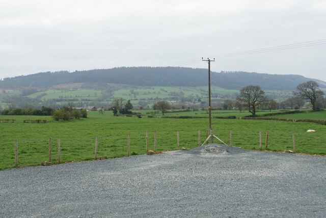
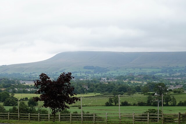
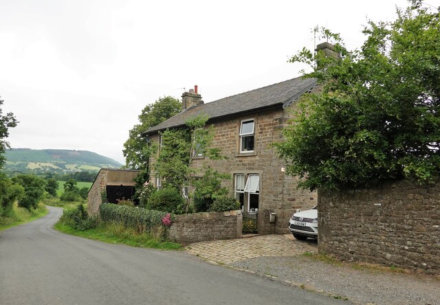
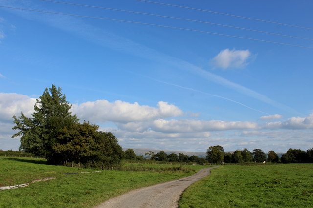
Backridge Plantation is a picturesque woodland area located in the heart of Yorkshire, England. Covering an expansive area, it is known for its dense forest and rich biodiversity. The plantation is situated in a secluded valley, providing a serene and peaceful environment for nature enthusiasts and visitors alike.
The woodland of Backridge Plantation boasts a variety of trees, including oak, ash, beech, and birch, creating a diverse and vibrant ecosystem. In addition to the towering trees, the forest floor is adorned with an array of wildflowers, ferns, and mosses, adding to the enchanting beauty of the area.
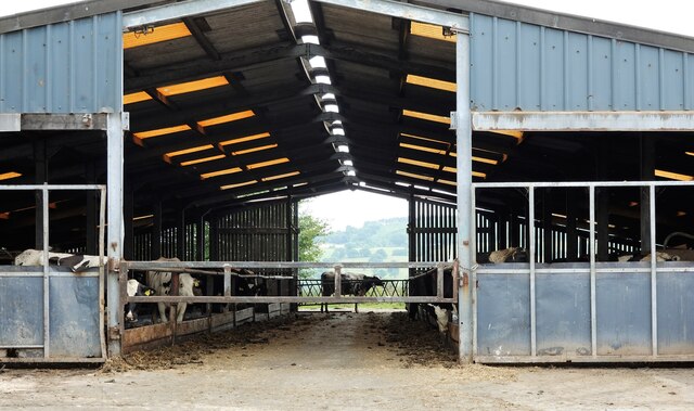
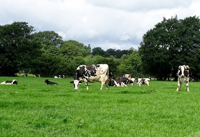
The plantation is home to an abundance of wildlife, making it a haven for nature lovers and photographers. Visitors can spot a range of native species, including red squirrels, badgers, foxes, and an array of bird species, such as woodpeckers and owls. The woodland also provides an important habitat for several rare and endangered species, contributing to the conservation efforts of the region.
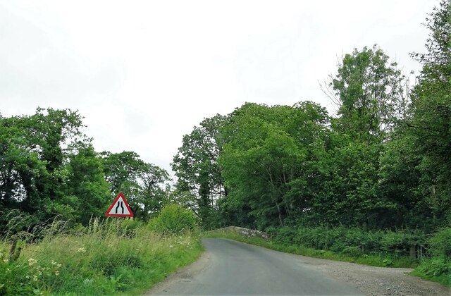
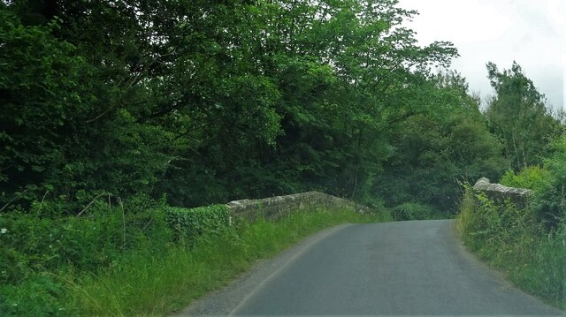
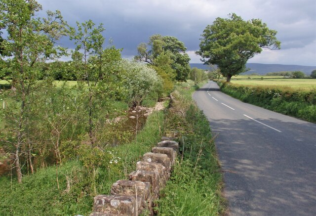
Backridge Plantation offers a network of well-maintained walking trails, allowing visitors to explore the natural wonders at their own pace. The trails wind through the woodland, offering panoramic views of the surrounding countryside and providing opportunities for birdwatching and wildlife spotting.
The plantation is a popular destination for outdoor activities, including hiking, nature walks, and photography. It also serves as an educational resource, with guided tours and workshops available for those interested in learning more about the area's flora and fauna.
Overall, Backridge Plantation in Yorkshire is a captivating woodland retreat, offering a tranquil escape for nature enthusiasts and a valuable habitat for diverse wildlife.
If you have any feedback on the listing, please let us know in the comments section below.
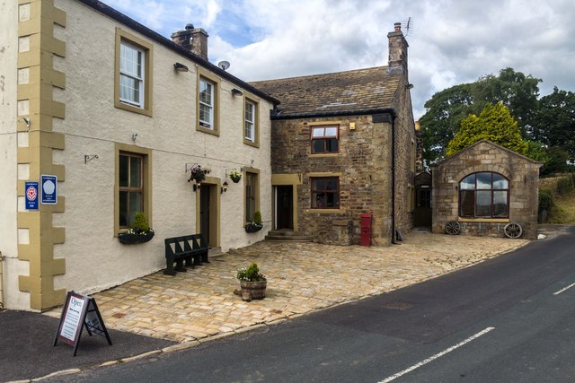
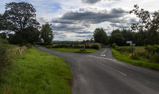
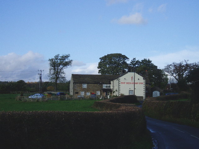
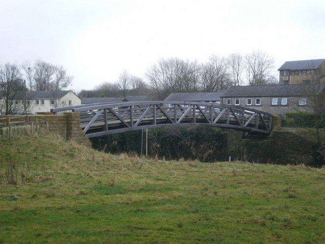
Backridge Plantation Images
Images are sourced within 2km of 53.882181/-2.4363133 or Grid Reference SD7142. Thanks to Geograph Open Source API. All images are credited.

Backridge Plantation is located at Grid Ref: SD7142 (Lat: 53.882181, Lng: -2.4363133)
Division: West Riding
Administrative County: Lancashire
District: Ribble Valley
Police Authority: Lancashire
What 3 Words
///somewhere.scrubber.marshes. Near Waddington, Lancashire
Nearby Locations
Related Wikis

Waddington, Lancashire
Waddington is a small village, 2 miles (3 km) north-west of Clitheroe in the Ribble Valley, Lancashire, England. The population of the civil parish at...

St Helen's Church, Waddington
St Helen's Church is in the village of Waddington, Lancashire, England. It is an active Anglican parish church in the deanery of Whalley, the archdeaconry...

Bashall Eaves
Bashall Eaves is a village and civil parish in the Ribble Valley district of Lancashire, England, about four miles (6 km) west of Clitheroe. The placename...

Bashall Brook
Bashall Brook is a minor river in Lancashire, England. It is 7.09 miles (11.41 km) long and has a catchment area of 6.86 square miles (1,777.68 ha).The...

Limy Water
The Limy Water is a minor river in Lancashire, England. It is 4.95 miles (7.96 km) long and has a catchment area of 7.71 square miles (1,996.33 ha).The...

Edisford Bridge
Edisford Bridge (or Eadsford) is a toll-free, nine-span bridge over the River Ribble near Clitheroe, Lancashire, England. A Grade II listed structure and...

Waddow Hall
Waddow Hall is a 17th-century Grade II listed building within a 178-acre (72 ha) estate that serves as a conference and activity centre for Girlguiding...
Low Moor, Lancashire
Low Moor is a hamlet which is part of the town of Clitheroe, located in Lancashire, England. It is situated two miles southwest of Clitheroe proper. It...
Nearby Amenities
Located within 500m of 53.882181,-2.4363133Have you been to Backridge Plantation?
Leave your review of Backridge Plantation below (or comments, questions and feedback).