Piper's Coppice

Wood, Forest in Shropshire

England

Piper's Coppice

Holmer Lake from the A442, Queenway
Holmer Lake from the A442, Queenway Credit: Ian S

Piper's Coppice is a serene woodland located in the county of Shropshire, England. Stretching over an area of approximately 100 acres, this enchanting forest is a haven for nature enthusiasts and a popular destination for outdoor activities.

The coppice is primarily composed of a mixture of broadleaf trees, including oak, beech, birch, and ash, which create a diverse and vibrant ecosystem. The dense foliage provides a sanctuary for numerous species of birds, such as woodpeckers, owls, and thrushes, making it a paradise for birdwatchers. Additionally, the forest is home to various mammals, including squirrels, foxes, and deer, which can often be spotted roaming among the trees.

The woodland boasts an extensive network of well-maintained trails, making it ideal for hikers, joggers, and mountain bikers. The paths wind through the picturesque landscape, offering breathtaking views of the surrounding countryside. Visitors can also explore the tranquil atmosphere by taking leisurely strolls along the forest floor, immersing themselves in the sights and sounds of nature.

Piper's Coppice is a popular destination for families and outdoor enthusiasts, offering a range of recreational activities. The forest features designated picnic areas where visitors can relax and enjoy a meal amidst the peaceful surroundings. Additionally, the woodland is equipped with barbecue facilities and camping spots, allowing visitors to extend their stay and experience the magic of the forest at night.

Overall, Piper's Coppice is a captivating woodland that offers a tranquil escape from the hustle and bustle of everyday life. With its diverse flora and fauna, well-maintained trails, and recreational amenities, it provides a perfect retreat for nature lovers and those seeking to reconnect with the natural world.

If you have any feedback on the listing, please let us know in the comments section below.

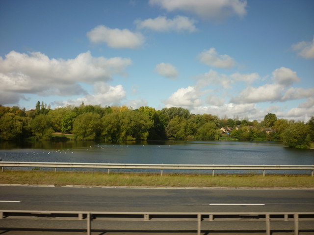
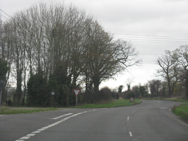
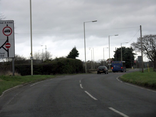
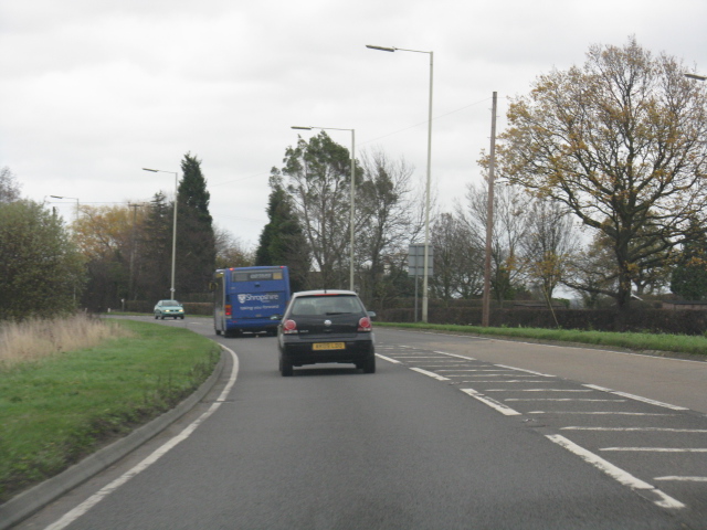
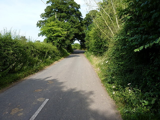
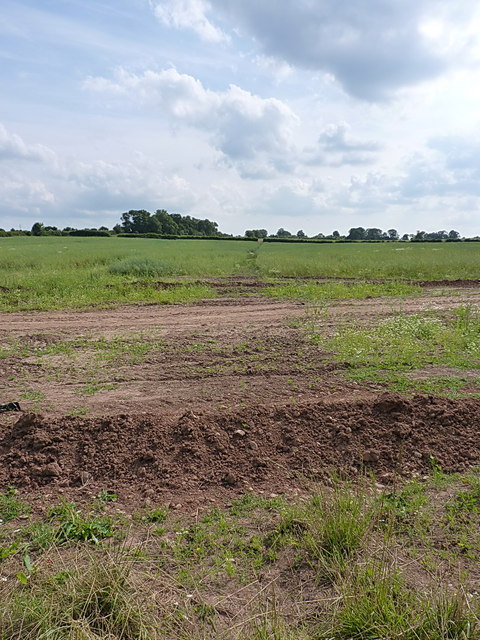
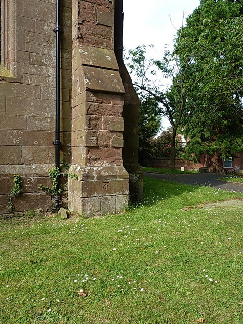
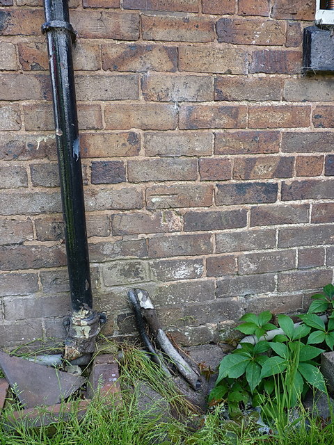
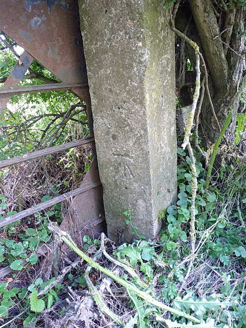
Piper's Coppice Images

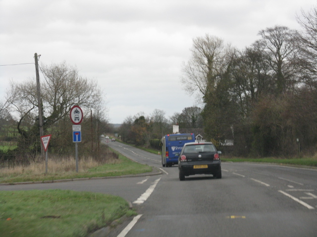
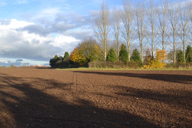
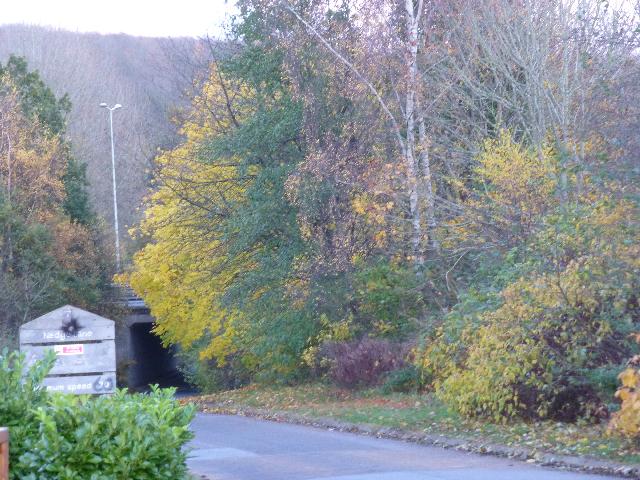
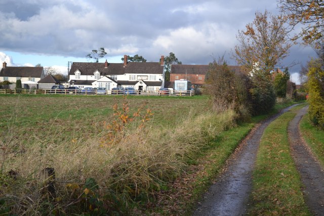
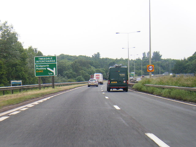
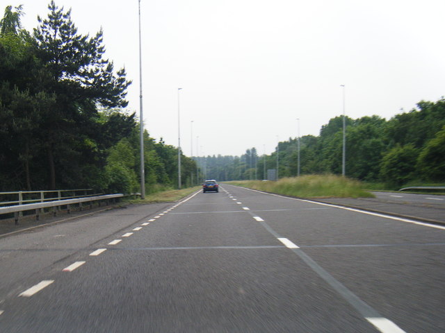
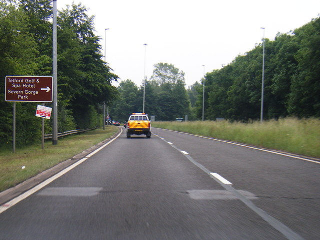
Images are sourced within 2km of 52.646144/-2.4239176 or Grid Reference SJ7105. Thanks to Geograph Open Source API. All images are credited.

Holmer Lake from the A442, Queenway
B4379 in Brockton
B4379 in Brockton
B4379 approaches the A4169 junction The B road "disappears" here, but the number is used again for the link between Shifnal and the A41 north of Heath Hill.
B4379 approaches the A4169 junction
The B road "disappears" here, but the number is used again for the link between Shifnal and the A41 north of Heath Hill.
A4169 near Paddock House
A4169 at Hem Lane
A4169 at Hem Lane
Ploughed Field
Ploughed Field
Nedge Lane, Telford Leading under the A442 towards Nedge Farm.
Nedge Lane, Telford
Leading under the A442 towards Nedge Farm.
Mason's Arms, Kimberton On the route of the Monarch’s Way long distance footpath
Mason's Arms, Kimberton
On the route of the Monarch’s Way long distance footpath
A442 nears Tweedale Interchange
A442 Brockton Way
A442 Brockton Way
A442 nears Brockton Roundabout
Flush Bracket 2497 - The Hem Ordnance Survey Flush Bracket, attached to the wall of a cottage at The Hem; as you can see, it's partially obscured by a downpipe, and was also hiding behind a potted rose which the owner kindly moved for me.
Flush Bracket 2497 - The Hem
Ordnance Survey Flush Bracket, attached to the wall of a cottage at The Hem; as you can see, it's partially obscured by a downpipe, and was also hiding behind a potted rose which the owner kindly moved for me.
The old Shifnal Road This short stretch of the old A4169 was isolated from the fast traffic when the road was realigned a few yards to the north in the 1970s. It now gives access to a number of cottages and barn conversions at The Hem, and provides a means of access to the Shifnal sewage works, Field Lane and Kemberton.
The old Shifnal Road
This short stretch of the old A4169 was isolated from the fast traffic when the road was realigned a few yards to the north in the 1970s. It now gives access to a number of cottages and barn conversions at The Hem, and provides a means of access to the Shifnal sewage works, Field Lane and Kemberton.
Footpath to Kemberton Running from Field Lane across fields into Kemberton.
Footpath to Kemberton
Running from Field Lane across fields into Kemberton.
Cut benchmark on St Andrew's Church OS benchmark on the SE buttress of the church in Kemberton; originally levelled at 108.289m above Ordnance Datum Newlyn.
Cut benchmark on St Andrew's Church
OS benchmark on the SE buttress of the church in Kemberton; originally levelled at 108.289m above Ordnance Datum Newlyn.
Flush Bracket G3462 - Langley House OS Flush Bracket is mounted low on the south facing wall of Langley House, behind a small shrub which the owner kindly cut back to allow me to see the bracket. I've long known this place as Kemberton Quarters, due to its alleged use during the English Civil War as a barracks.
Flush Bracket G3462 - Langley House
OS Flush Bracket is mounted low on the south facing wall of Langley House, behind a small shrub which the owner kindly cut back to allow me to see the bracket. I've long known this place as Kemberton Quarters, due to its alleged use during the English Civil War as a barracks.
OS benchmark - House at The Hem A cutmark in the brickwork of a semi-detached cottage just east of The Hem, levelled at a height of 87.3892m, 286'8" above Ordnance Datum Nelwyn.
OS benchmark - House at The Hem
A cutmark in the brickwork of a semi-detached cottage just east of The Hem, levelled at a height of 87.3892m, 286'8" above Ordnance Datum Nelwyn.
OS benchmark - gatepost near Hem Manor Farm An OS benchmark in a concrete gatepost just to the east of Hem Manor Farm, levelled at a height of 89.8087m, 294'7" above Ordnance Datum Newlyn.
OS benchmark - gatepost near Hem Manor Farm
An OS benchmark in a concrete gatepost just to the east of Hem Manor Farm, levelled at a height of 89.8087m, 294'7" above Ordnance Datum Newlyn.
Show me another place!

Piper's Coppice is located at Grid Ref: SJ7105 (Lat: 52.646144, Lng: -2.4239176)

Unitary Authority: Telford and Wrekin

Police Authority: West Mercia

What 3 Words

///odds.tech.illogical. Near Madeley, Shropshire

Nearby Locations

Halesfield Piper's Coppice

Related Wikis

Brookside, Telford

Brookside is a housing estate and borough and parish council ward in Telford, Shropshire, England. The original settlement of Brookside is a Radburn estate...

Stirchley, Shropshire

Stirchley is a large village and suburb of Telford, in the borough of Telford and Wrekin and ceremonial county of Shropshire, England. Stirchley lies just...

Telford Park School

The Telford Park School is a coeducational secondary school located in Stirchley, Telford, Shropshire, England. The school grounds was first established...

Madeley railway station (Shropshire)

Madeley railway station (sometimes referred to as Madeley Salop railway station) is a disused railway station in Madeley, Shropshire, England. The station...

Nearby Amenities

Located within 500m of 52.646144,-2.4239176
Barrier: yes
Lat/Long: 52.6422895/-2.4232944
Power: pole
Source: bing
Lat/Long: 52.6470913/-2.4214487
Power: pole
Source: bing
Lat/Long: 52.6471939/-2.420931
Power: pole
Source: bing
Lat/Long: 52.647368/-2.4198367
Power: pole
Source: bing
Lat/Long: 52.6475153/-2.4190038
Power: pole
Source: bing
Lat/Long: 52.6476511/-2.4181643
Power: pole
Source: bing
Lat/Long: 52.6478285/-2.4171089
Recycling
Halesfield Community Recycling Centre
Operator: Veolia
Operator Wikidata: Q1632461
Recycling Type: centre
Lat/Long: 52.6471411/-2.4223008
The data included in this document is from www.openstreetmap.org. The data is made available under ODbL.

Have you been to Piper's Coppice?

Leave your review of Piper's Coppice below (or comments, questions and feedback).