Halesfield

Settlement in Shropshire

England

Halesfield

Holmer Lake from the A442, Queenway
Holmer Lake from the A442, Queenway Credit: Ian S

Halesfield is a small industrial estate located in the county of Shropshire, England. Situated on the eastern outskirts of the town of Telford, it is part of the Telford and Wrekin borough. Halesfield is well-known for its contribution to the manufacturing and industrial sector in the region.

The estate covers an area of approximately 400 acres and is home to a wide range of businesses, including factories, warehouses, and distribution centers. The area has a long history of industrial activity, with some companies having been established here for several decades.

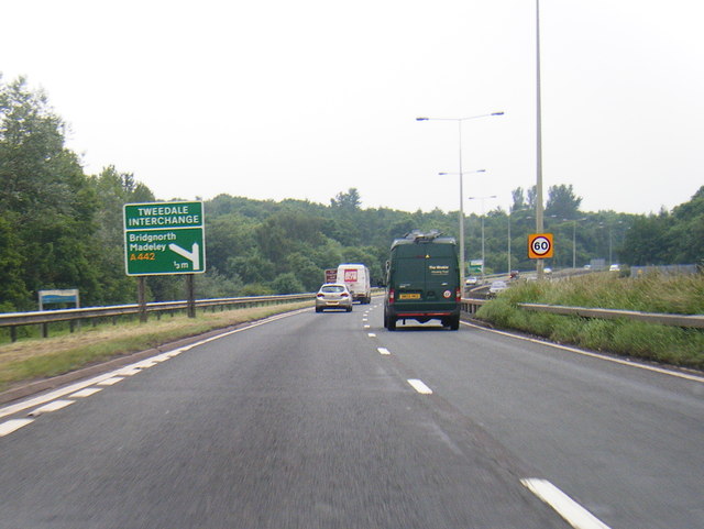
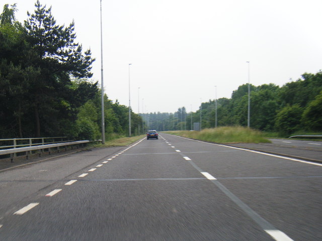
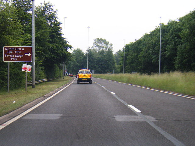
Halesfield benefits from its strategic location, being situated near major transport links such as the M54 motorway and the A442 road. This connectivity makes it easily accessible for businesses and facilitates the transportation of goods and materials. The estate also has good access to Telford Central railway station, providing further transportation options.

The businesses operating in Halesfield are diverse, encompassing various sectors such as automotive, engineering, manufacturing, logistics, and construction. These industries have contributed significantly to the local economy and provided employment opportunities for the residents of Telford and the surrounding areas.

In addition to its industrial activities, Halesfield offers a range of amenities for the businesses and their employees. These include retail outlets, cafes, and other services that cater to the needs of the workforce.

Overall, Halesfield is a thriving industrial estate that plays a vital role in the economic development of Shropshire. Its strategic location, diverse range of businesses, and strong transport links make it an attractive destination for companies looking to establish a presence in the region.

If you have any feedback on the listing, please let us know in the comments section below.
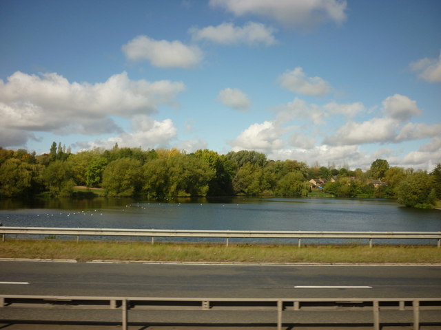
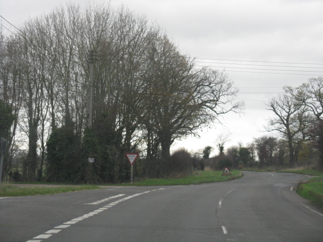
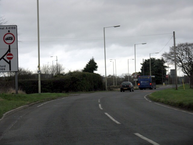
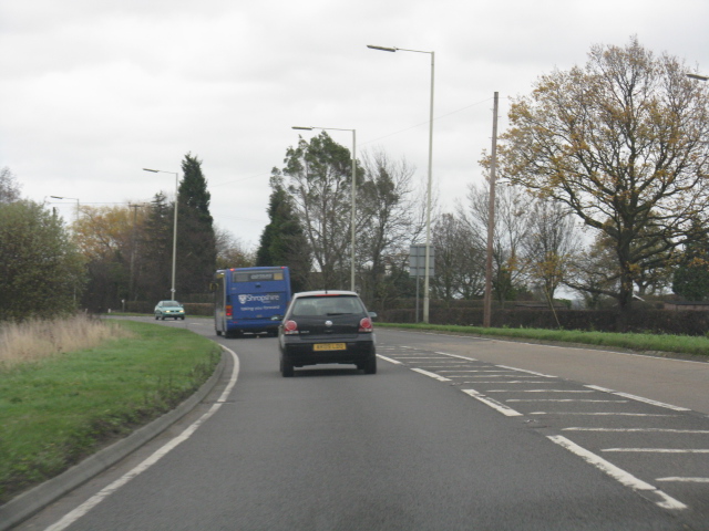
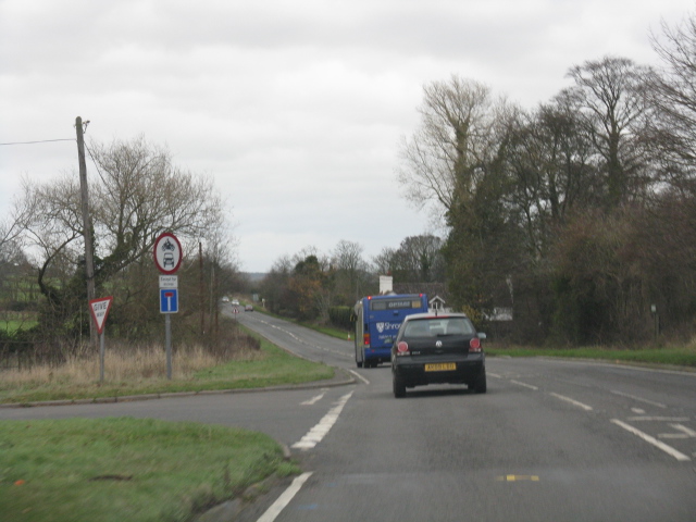
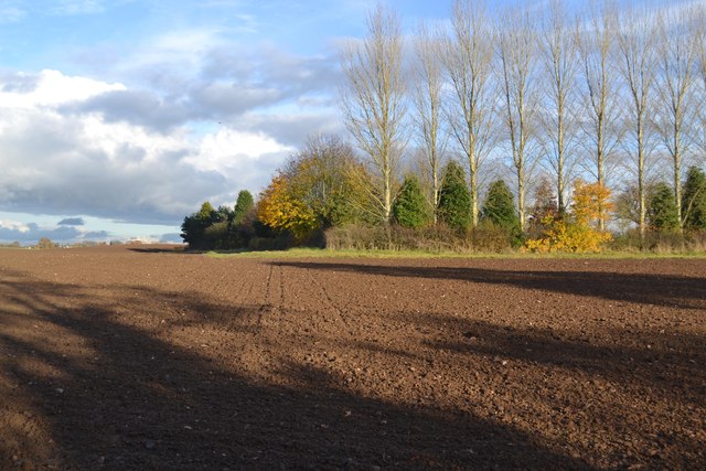
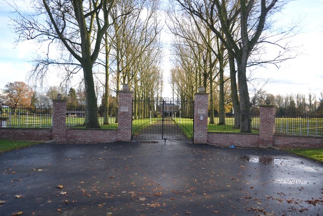
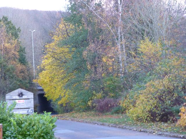
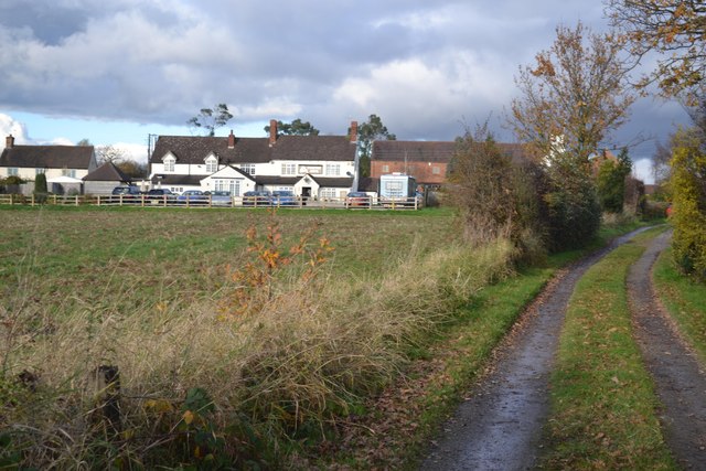
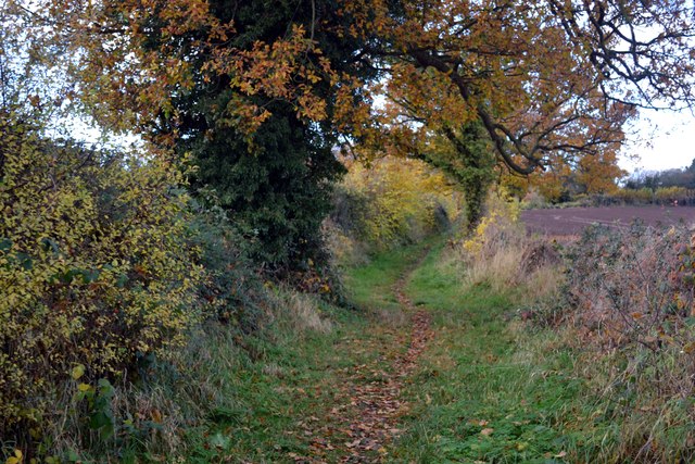
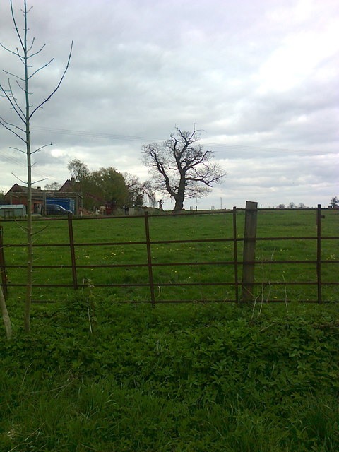
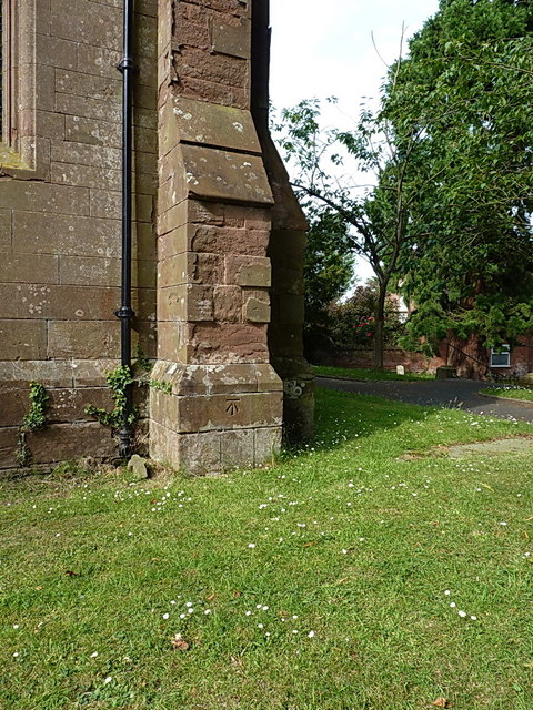
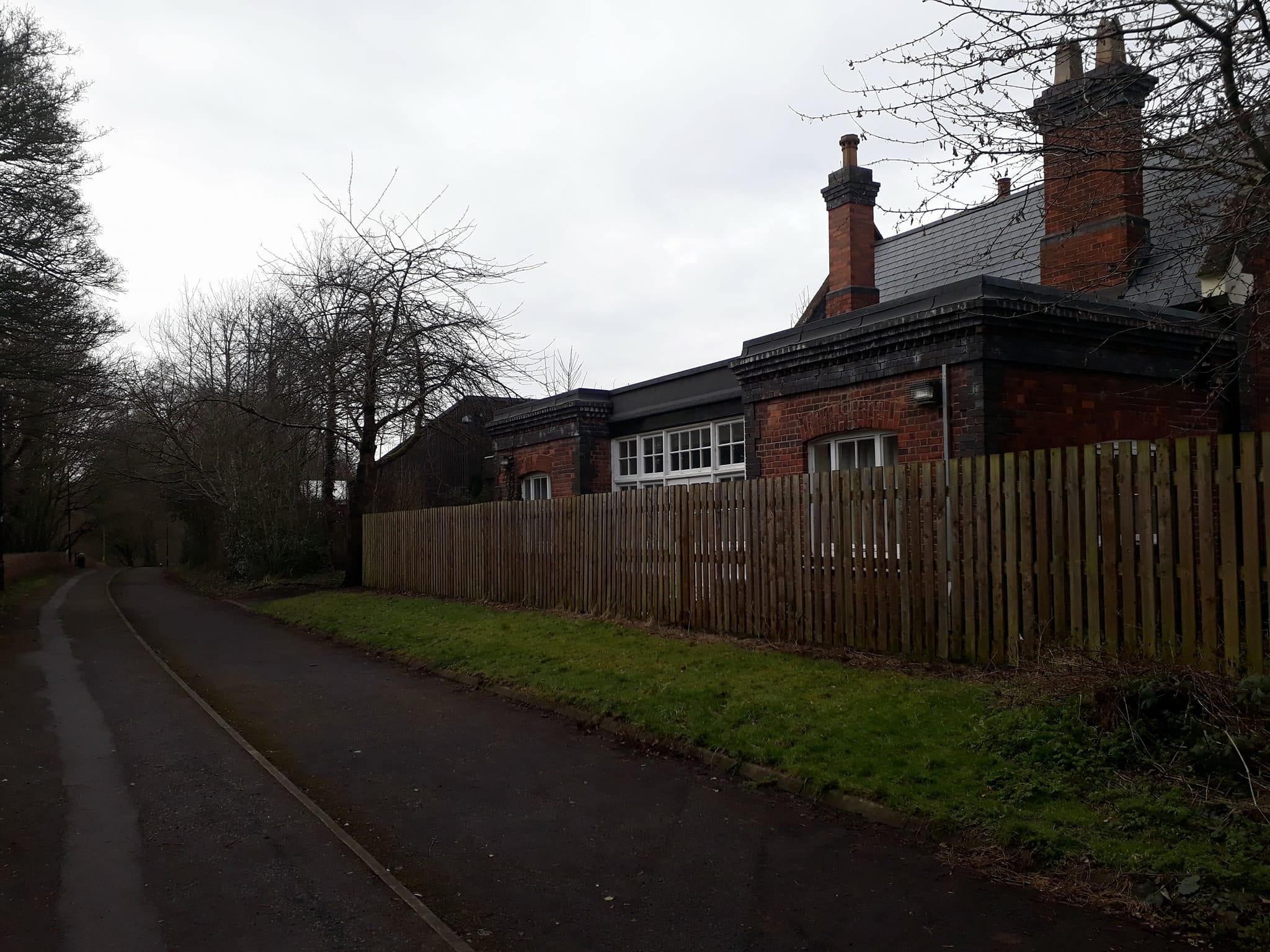
Halesfield Images

Images are sourced within 2km of 52.642316/-2.423959 or Grid Reference SJ7105. Thanks to Geograph Open Source API. All images are credited.

Holmer Lake from the A442, Queenway
B4379 in Brockton
B4379 in Brockton
B4379 approaches the A4169 junction The B road "disappears" here, but the number is used again for the link between Shifnal and the A41 north of Heath Hill.
B4379 approaches the A4169 junction
The B road "disappears" here, but the number is used again for the link between Shifnal and the A41 north of Heath Hill.
A4169 near Paddock House
A4169 at Hem Lane
A4169 at Hem Lane
Ploughed Field
Ploughed Field
Entrance to Brockton House The Monarch’s Way long distance footpath passes the front of this house.
Entrance to Brockton House
The Monarch’s Way long distance footpath passes the front of this house.
Nedge Lane, Telford Leading under the A442 towards Nedge Farm.
Nedge Lane, Telford
Leading under the A442 towards Nedge Farm.
Mason's Arms, Kimberton On the route of the Monarch’s Way long distance footpath
Mason's Arms, Kimberton
On the route of the Monarch’s Way long distance footpath
Enclosed footpath Approaching Kemberton on the Monarch’s Way long distance footpath
Enclosed footpath
Approaching Kemberton on the Monarch’s Way long distance footpath
Oaks and field by Brockton near Telford
A442 nears Tweedale Interchange
A442 Brockton Way
A442 Brockton Way
A442 nears Brockton Roundabout
Flush Bracket 2497 - The Hem Ordnance Survey Flush Bracket, attached to the wall of a cottage at The Hem; as you can see, it's partially obscured by a downpipe, and was also hiding behind a potted rose which the owner kindly moved for me.
Flush Bracket 2497 - The Hem
Ordnance Survey Flush Bracket, attached to the wall of a cottage at The Hem; as you can see, it's partially obscured by a downpipe, and was also hiding behind a potted rose which the owner kindly moved for me.
The old Shifnal Road This short stretch of the old A4169 was isolated from the fast traffic when the road was realigned a few yards to the north in the 1970s. It now gives access to a number of cottages and barn conversions at The Hem, and provides a means of access to the Shifnal sewage works, Field Lane and Kemberton.
The old Shifnal Road
This short stretch of the old A4169 was isolated from the fast traffic when the road was realigned a few yards to the north in the 1970s. It now gives access to a number of cottages and barn conversions at The Hem, and provides a means of access to the Shifnal sewage works, Field Lane and Kemberton.
Cut benchmark on St Andrew's Church OS benchmark on the SE buttress of the church in Kemberton; originally levelled at 108.289m above Ordnance Datum Newlyn.
Cut benchmark on St Andrew's Church
OS benchmark on the SE buttress of the church in Kemberton; originally levelled at 108.289m above Ordnance Datum Newlyn.
Flush Bracket G3463 & postbox - Brockton Cottage An OS Flush Bracket, mounted low on the wall of Brockton Grange/Cottage/Farm; I've passed this way hundreds of times and never spotted it before.
Flush Bracket G3463 & postbox - Brockton Cottage
An OS Flush Bracket, mounted low on the wall of Brockton Grange/Cottage/Farm; I've passed this way hundreds of times and never spotted it before.
Show me another place!

Halesfield is located at Grid Ref: SJ7105 (Lat: 52.642316, Lng: -2.423959)

Unitary Authority: Telford and Wrekin

Police Authority: West Mercia

What 3 Words

///novel.whisk.stubble. Near Madeley, Shropshire

Nearby Locations

Piper's Coppice Halesfield

Related Wikis

Kemberton

Kemberton is a village and civil parish located in Shropshire, England. The population of the civil parish at the 2011 Census was 244. == See also == Listed...

Brookside, Telford

Brookside is a housing estate and borough and parish council ward in Telford, Shropshire, England. The original settlement of Brookside is a Radburn estate...

Stirchley, Shropshire

Stirchley is a large village and suburb of Telford, in the borough of Telford and Wrekin and ceremonial county of Shropshire, England. Stirchley lies just...

Madeley Market railway station

Madeley Market railway station is a disused railway station in Shropshire, England. The station was opened by the London and North Western Railway in 1861...

Nearby Amenities

Located within 500m of 52.642316,-2.423959
Information: map
Tourism: information
Lat/Long: 52.639572/-2.4204254
Barrier: yes
Lat/Long: 52.6422895/-2.4232944
Crossing
Crossing: unmarked
Crossing Island: yes
Tactile Paving: yes
Lat/Long: 52.63975/-2.4247452
Crossing
Crossing: unmarked
Crossing Island: yes
Tactile Paving: yes
Lat/Long: 52.6398664/-2.424722
Crossing
Crossing: unmarked
Crossing Island: yes
Tactile Paving: yes
Lat/Long: 52.6394308/-2.4242215
Crossing
Crossing: unmarked
Crossing Island: yes
Tactile Paving: yes
Lat/Long: 52.6394249/-2.4239681
The data included in this document is from www.openstreetmap.org. The data is made available under ODbL.

Have you been to Halesfield?

Leave your review of Halesfield below (or comments, questions and feedback).