Halesgate
Settlement in Lincolnshire South Holland
England
Halesgate
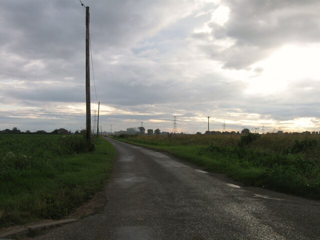
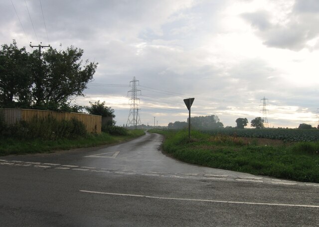
Halesgate is a quaint village located in the county of Lincolnshire, England. Situated on the eastern coast of the country, it is part of the East Lindsey district. The village is nestled amidst the beautiful and picturesque countryside, providing a serene and idyllic setting for its residents and visitors alike.
Halesgate is known for its rich history, dating back to medieval times. The village is adorned with charming historic buildings, including a 14th-century church that stands as a testament to its heritage. The architecture showcases a blend of different styles, reflecting the village's evolution over the centuries.
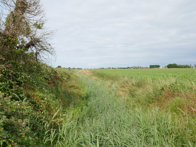
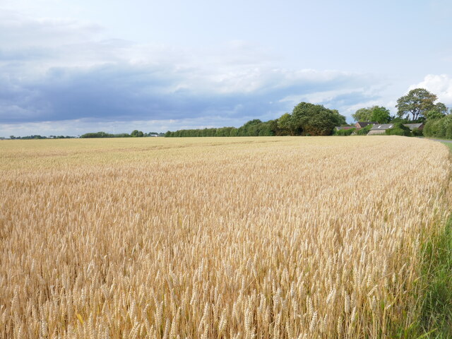
One of the notable features of Halesgate is its thriving agricultural industry. The area is blessed with fertile soil, making it ideal for farming. Fields of golden wheat and lush green pastures can be seen throughout the village, contributing to its scenic beauty. The local farmers take pride in their produce, and the village often hosts agricultural fairs and markets, showcasing the best of Lincolnshire's agricultural heritage.
Despite its relatively small size, Halesgate offers a range of amenities to its residents. There are several cozy pubs and restaurants where locals and visitors can enjoy traditional British cuisine and beverages. The village also boasts a primary school, a village hall, and a post office, ensuring that all essential services are easily accessible.
Halesgate is surrounded by natural beauty, with rolling hills, meandering streams, and nature reserves nearby. It attracts nature enthusiasts and outdoor adventurers, who can explore the numerous walking trails and cycling routes in the area.
Overall, Halesgate is a charming village that offers a peaceful and picturesque escape from the hustle and bustle of city life, making it a delightful destination for both residents and tourists seeking a taste of rural England.
If you have any feedback on the listing, please let us know in the comments section below.
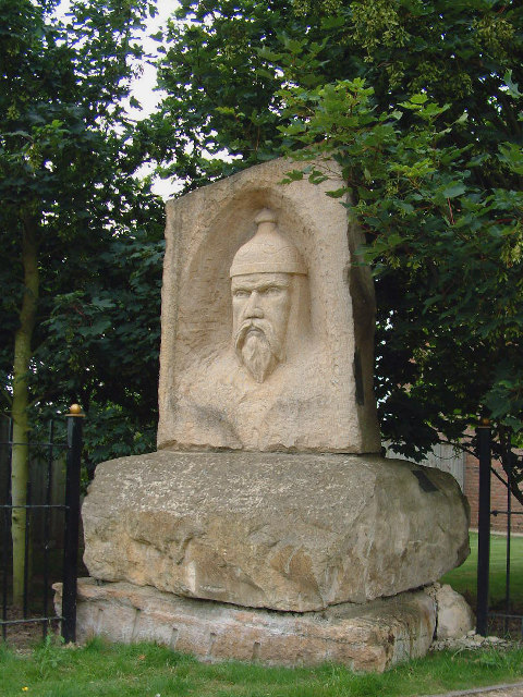
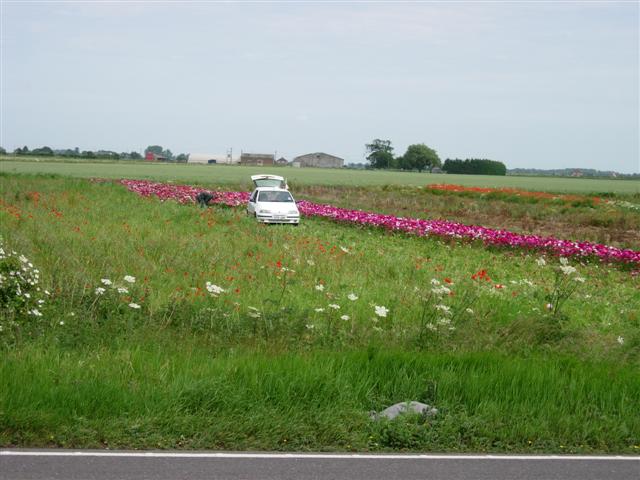
Halesgate Images
Images are sourced within 2km of 52.822297/-0.038038 or Grid Reference TF3226. Thanks to Geograph Open Source API. All images are credited.


Halesgate is located at Grid Ref: TF3226 (Lat: 52.822297, Lng: -0.038038)
Division: Parts of Holland
Administrative County: Lincolnshire
District: South Holland
Police Authority: Lincolnshire
What 3 Words
///tweed.rags.clogging. Near Whaplode, Lincolnshire
Nearby Locations
Related Wikis

Moulton Seas End
Moulton Seas End is a village in the civil parish of The Moultons and the South Holland district of Lincolnshire, England. It is 5 miles (8 km) north...

Parts of Holland
The Parts of Holland is a historical division of Lincolnshire, England, encompassing the south-east of the county. The name is still recognised locally...

Holbeach Clough
Holbeach Clough (today synonymous with Saracen's Head) is a fenland village in the South Holland district of Lincolnshire, England. It is just under 2...

Whaplode
Whaplode is a village and civil parish in the South Holland district of Lincolnshire, England. It is just west of the Prime Meridian. The parish includes...

Whaplode railway station
Whaplode railway station was a station in Whaplode, Lincolnshire. Built by the Norwich and Spalding Railway, (later Midland and Great Northern Joint Railway...

Moulton Windmill
Moulton Windmill in the Lincolnshire village of Moulton, between Spalding and Holbeach is a restored windmill claimed to be the tallest tower mill in the...

Moulton, Lincolnshire
Moulton is a village in the civil parish of The Moultons, in the South Holland district of Lincolnshire, England. It is situated on the A151 and B1537...

Holbeach Bank
Holbeach Bank is a fenland village in the South Holland district of Lincolnshire, England. It is just under 2 miles (3 km) north from the market town of...
Nearby Amenities
Located within 500m of 52.822297,-0.038038Have you been to Halesgate?
Leave your review of Halesgate below (or comments, questions and feedback).