Back Wood
Wood, Forest in Yorkshire Craven
England
Back Wood
Back Wood is a small village located in the county of Yorkshire, England. Situated in the heart of a dense forest, it is surrounded by breathtaking natural beauty and offers a peaceful and serene environment for its residents and visitors alike.
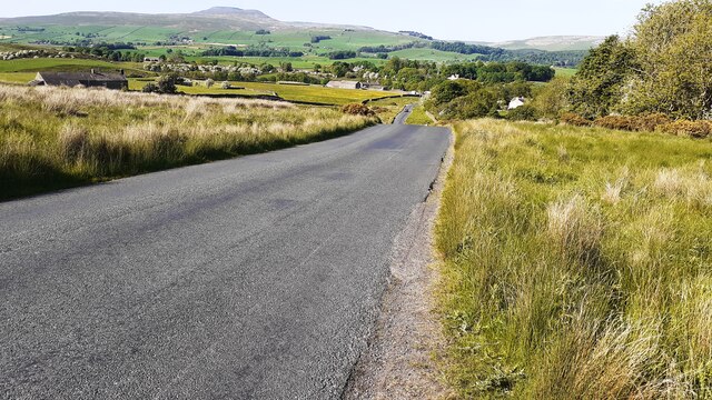
The village is known for its picturesque landscapes, with tall, ancient trees that provide shelter to a diverse range of wildlife. The forest is home to various species of birds, mammals, and plants, making it a haven for nature enthusiasts and birdwatchers. The tranquility of the woodland, coupled with the sound of rustling leaves and chirping birds, creates a soothing atmosphere that attracts people seeking a retreat from the hustle and bustle of city life.
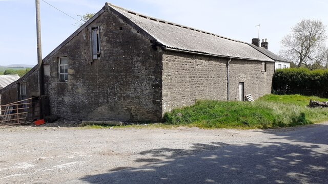
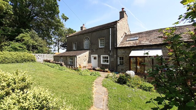
Back Wood itself is a close-knit community, with friendly and welcoming residents who take pride in their village. The village is made up of traditional stone cottages, which give it a charming and rustic feel. The local pub, The Woodland Inn, is a popular gathering spot where villagers and visitors can enjoy a pint of locally brewed ale and indulge in delicious, hearty pub food.
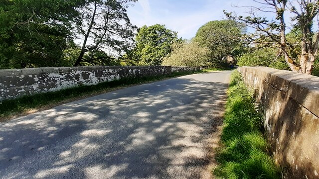
Outdoor activities are abundant in Back Wood, with numerous walking trails and cycling routes that allow visitors to explore the surrounding forest. The village also boasts a well-maintained community garden, where residents can grow their own produce and enjoy the beauty of nature.
Overall, Back Wood is a hidden gem in Yorkshire, offering a retreat into nature and a warm community spirit that makes it an ideal destination for those seeking peace and tranquility.
If you have any feedback on the listing, please let us know in the comments section below.
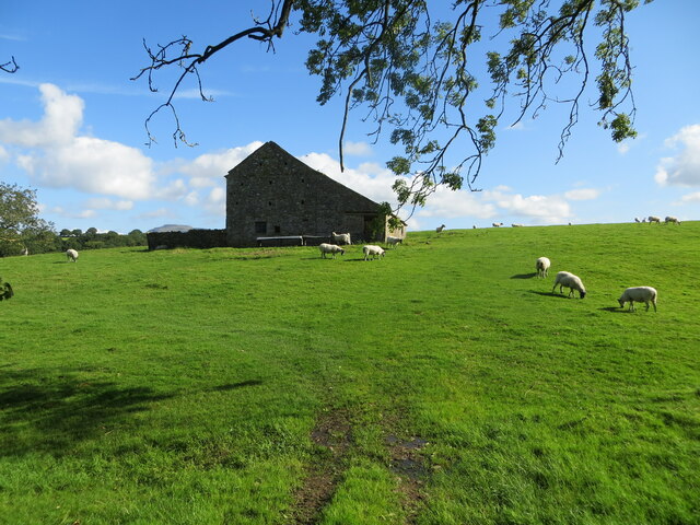
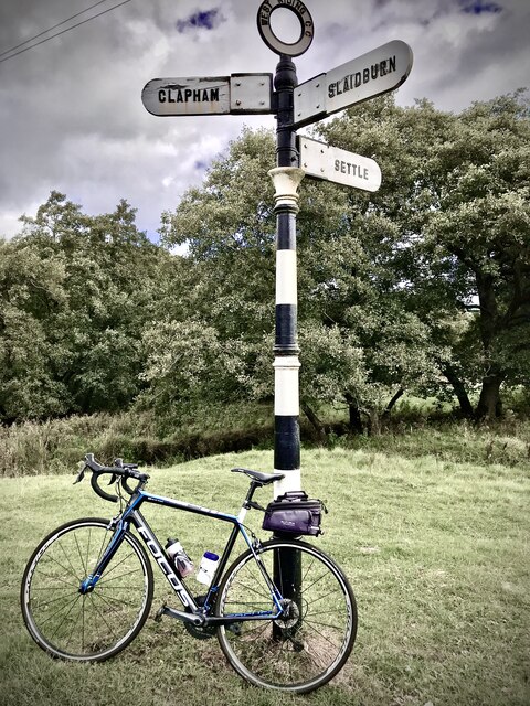
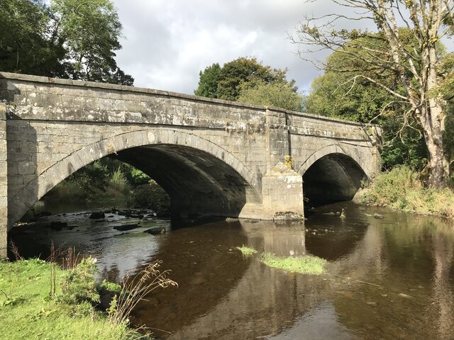
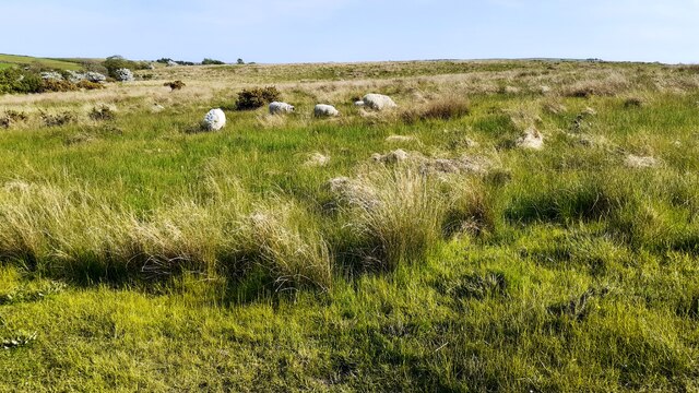
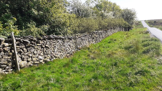
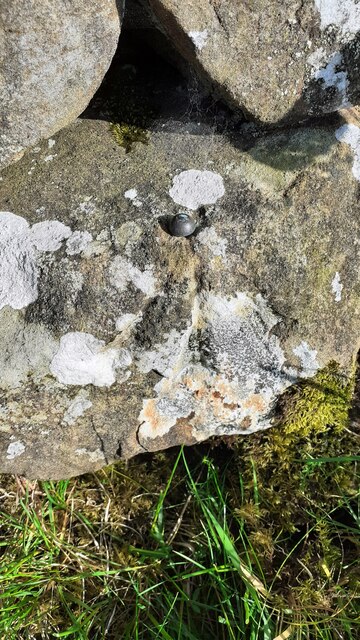
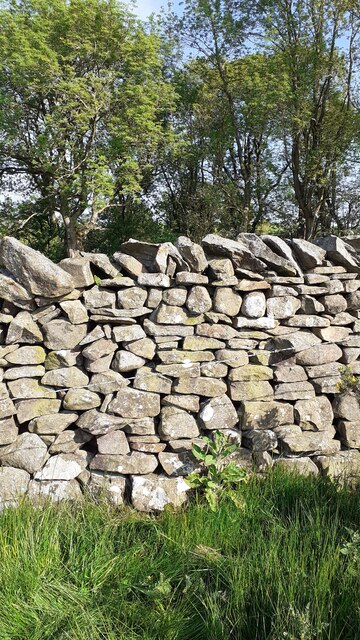
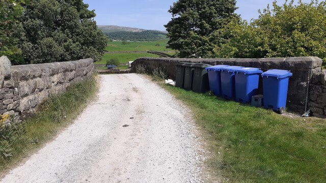
Back Wood Images
Images are sourced within 2km of 54.103694/-2.4384837 or Grid Reference SD7167. Thanks to Geograph Open Source API. All images are credited.
Back Wood is located at Grid Ref: SD7167 (Lat: 54.103694, Lng: -2.4384837)
Division: West Riding
Administrative County: North Yorkshire
District: Craven
Police Authority: North Yorkshire
What 3 Words
///refrained.lucky.idea. Near High Bentham, North Yorkshire
Nearby Locations
Related Wikis

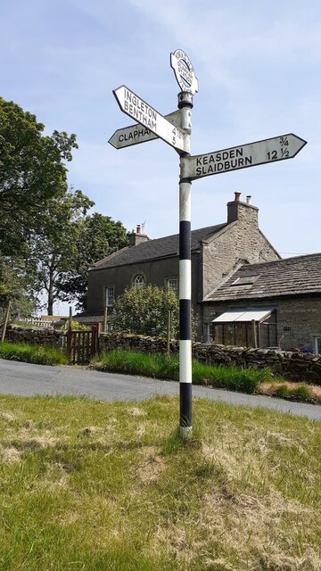
Keasden Beck
Keasden Beck is a stream in Yorkshire (formerly the West Riding) rising near Keasden Head, joining the River Wenning south west of Clapham. == References... ==

Keasden
Keasden is a hamlet in the civil parish of Clapham-cum-Newby, in the Craven district of the county of North Yorkshire, in the north-western England. It...

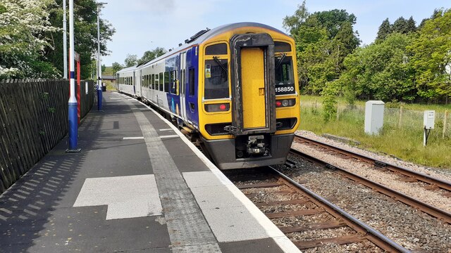
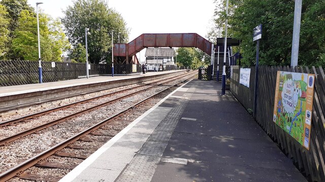
Clapham railway station
Clapham is a railway station on the Bentham Line, which runs between Leeds and Morecambe via Skipton. The station, situated 48 miles (77 km) north-west...

Clapham cum Newby
Clapham cum Newby is a civil parish in the Craven district of North Yorkshire, England. It was formerly in the Settle Rural District. It contains the villages...

Clapham, North Yorkshire
Clapham is a village in the civil parish of Clapham cum Newby in the Craven district of North Yorkshire, England. It was previously in the West Riding...

Great Stone of Fourstones
The Great Stone of Fourstones, or the Big Stone as it is known locally, is a glacial deposit on the moorlands of Tatham Fells, England, straddling the...

St Margaret's Church, High Bentham
St Margaret's Church is in Station Road, High Bentham, North Yorkshire, England. It is an Anglican parish church in the deanery of Ewecross, the archdeaconry...

Bentham railway station
Bentham is a railway station on the Bentham Line, which runs between Leeds and Morecambe via Skipton. The station, situated 19 miles (31 km) east of Lancaster...
Nearby Amenities
Located within 500m of 54.103694,-2.4384837Have you been to Back Wood?
Leave your review of Back Wood below (or comments, questions and feedback).