Bashall Town
Settlement in Yorkshire Ribble Valley
England
Bashall Town
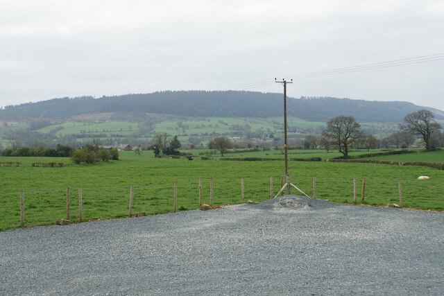
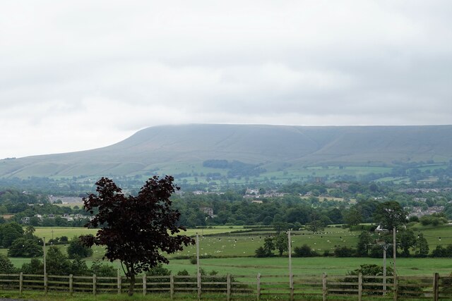
Bashall Town is a small village located in the picturesque county of Yorkshire, England. Situated amidst the rolling hills of the Ribble Valley, it is nestled within the Forest of Bowland Area of Outstanding Natural Beauty. With a population of just over 200 residents, Bashall Town exudes a tranquil and close-knit community spirit.
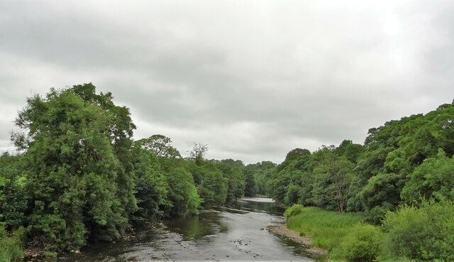
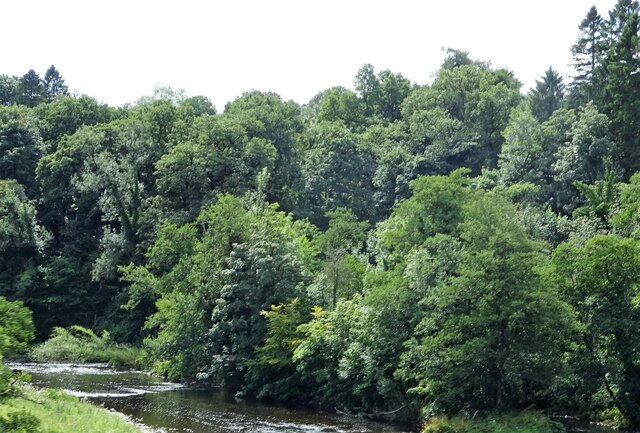
The village is renowned for its stunning natural surroundings, offering visitors and locals alike breathtaking views and a wealth of outdoor activities. Hiking enthusiasts can explore the nearby fells and footpaths, while cyclists can enjoy the scenic countryside on the well-maintained trails. The River Hodder, which flows through the village, provides opportunities for fishing and picnicking along its banks.
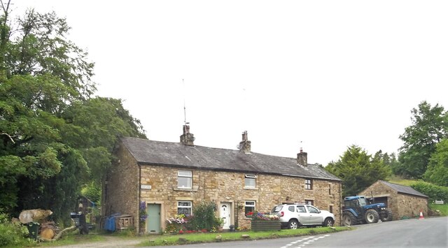
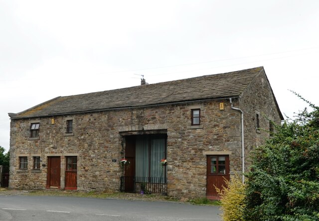
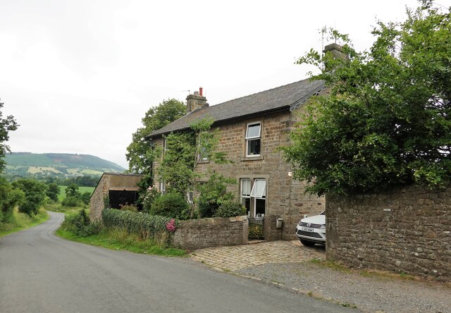
Despite its small size, Bashall Town has a rich history. The village church, St. Peter's, is a listed building dating back to the 12th century and is a testament to the area's heritage. Additionally, the village is home to a handful of traditional stone houses that have maintained their charm and character over the centuries.
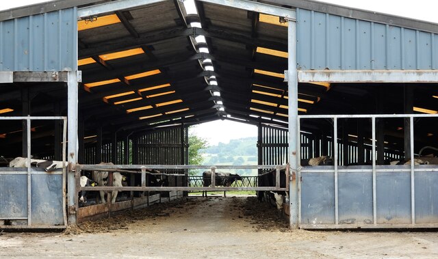
While predominantly a residential area, Bashall Town is also known for its local businesses. The village boasts a renowned farm shop, offering a wide selection of locally sourced produce, including fresh fruits, vegetables, meats, and artisan cheeses. This establishment has become a popular destination for both residents and visitors looking for high-quality, locally produced goods.
In summary, Bashall Town is a quaint and idyllic village situated in the heart of the Yorkshire countryside. Its natural beauty, historical significance, and thriving local businesses make it a hidden gem worth exploring for those seeking a peaceful retreat or a taste of traditional Yorkshire life.
If you have any feedback on the listing, please let us know in the comments section below.
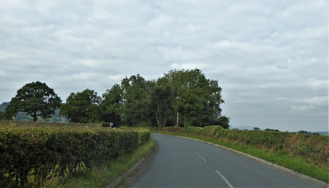
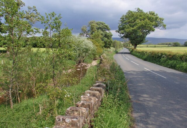
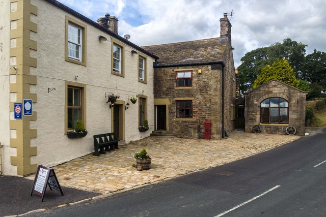
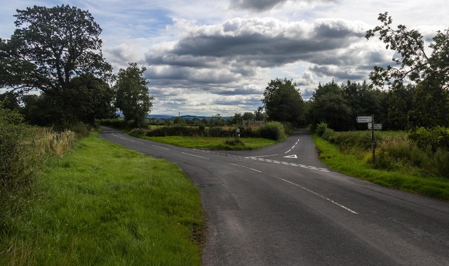
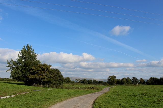
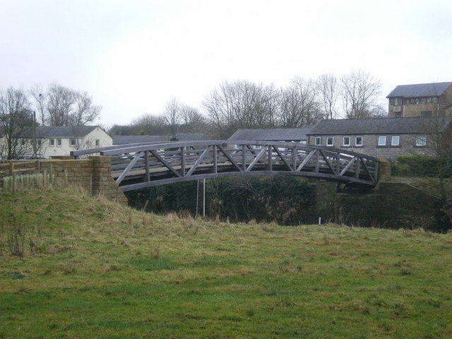
Bashall Town Images
Images are sourced within 2km of 53.874211/-2.440958 or Grid Reference SD7142. Thanks to Geograph Open Source API. All images are credited.

Bashall Town is located at Grid Ref: SD7142 (Lat: 53.874211, Lng: -2.440958)
Division: West Riding
Administrative County: Lancashire
District: Ribble Valley
Police Authority: Lancashire
What 3 Words
///cheeks.legroom.countries. Near Waddington, Lancashire
Nearby Locations
Related Wikis

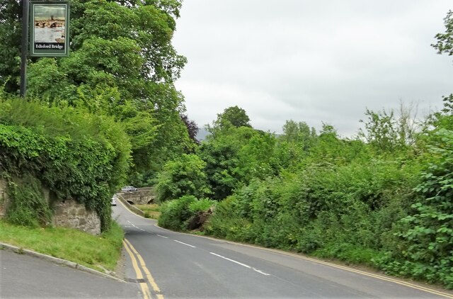
Edisford Bridge
Edisford Bridge (or Eadsford) is a toll-free, nine-span bridge over the River Ribble near Clitheroe, Lancashire, England. A Grade II listed structure and...

Bashall Brook
Bashall Brook is a minor river in Lancashire, England. It is 7.09 miles (11.41 km) long and has a catchment area of 6.86 square miles (1,777.68 ha).The...

Limy Water
The Limy Water is a minor river in Lancashire, England. It is 4.95 miles (7.96 km) long and has a catchment area of 7.71 square miles (1,996.33 ha).The...

Bashall Eaves
Bashall Eaves is a village and civil parish in the Ribble Valley district of Lancashire, England, about four miles (6 km) west of Clitheroe. The placename...
Low Moor, Lancashire
Low Moor is a hamlet which is part of the town of Clitheroe, located in Lancashire, England. It is situated two miles southwest of Clitheroe proper. It...

Waddington, Lancashire
Waddington is a small village, 2 miles (3 km) north-west of Clitheroe in the Ribble Valley, Lancashire, England. The population of the civil parish at...

Pendleton Brook
Pendleton Brook is a small river in Lancashire. The brook rises on Pendleton Moor and flows through the village of Pendleton, travelling north west to...

Waddow Hall
Waddow Hall is a 17th-century Grade II listed building within a 178-acre (72 ha) estate that serves as a conference and activity centre for Girlguiding...
Related Videos
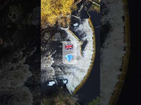
Hidden Gem in UK 🏴 | drone footage #shorts #nature #hiddengems #bucketlist
Ribble valley is known locally as Little Switzerland because of its beauty. Waddow weir is a hidden gem inside the valley and can ...
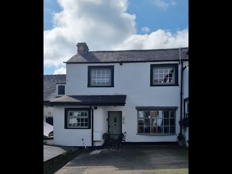
Cobble View Cottage, Waddington, Clitheroe
A cosy holiday cottage located in the quaint village of Waddington near Clitheroe. Cobble View is just a few minutes' drive to a ...

PROBINSYA SA ENGLAND/COUNTRYSIDE
Countryside.

A bright, sunshiney day in a British countryside -Pub Food, Rolls Royce & River Views! ☀️
Hello and welcome to the channel! If you're new here, a big warm friendly welcome and we hope you enjoy our Videos and Live ...
Nearby Amenities
Located within 500m of 53.874211,-2.440958Have you been to Bashall Town?
Leave your review of Bashall Town below (or comments, questions and feedback).