Bashall Eaves

Settlement in Yorkshire Ribble Valley

England

Bashall Eaves

Memorial Plaque - Dorothea Margaret Worsley-Taylor
Memorial Plaque - Dorothea Margaret Worsley-Taylor Credit: thejackrustles

Bashall Eaves is a small village located in the Ribble Valley district of Yorkshire, England. Situated in the heart of the picturesque Forest of Bowland, it is surrounded by scenic beauty and offers a tranquil retreat for nature lovers and outdoor enthusiasts.

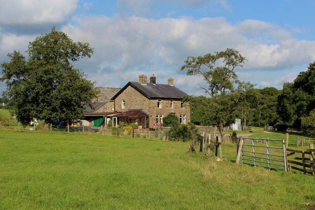
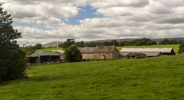
The village is known for its charming rural character and is primarily composed of traditional stone-built houses and cottages. It has a close-knit community, with a population of approximately 200 residents. The parish church of St. Joseph's, dating back to the 19th century, stands as a prominent landmark in the village.

Despite its small size, Bashall Eaves boasts a few notable attractions. One of these is Bashall Barn, a popular farm shop and café that offers a wide range of locally-sourced produce, including fresh fruits, vegetables, meats, and artisanal products. The café is known for its delicious homemade cakes and meals made from local ingredients.

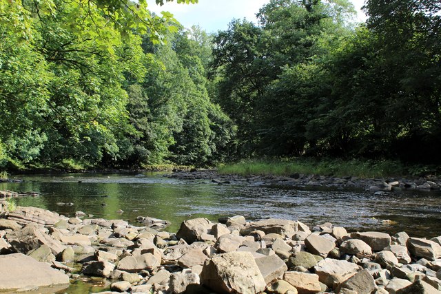
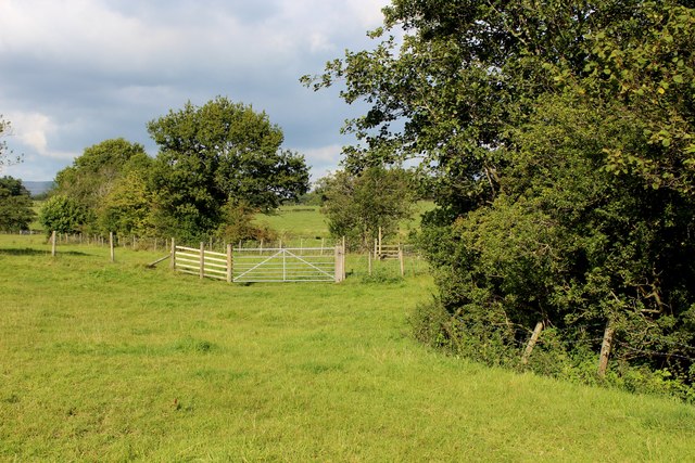
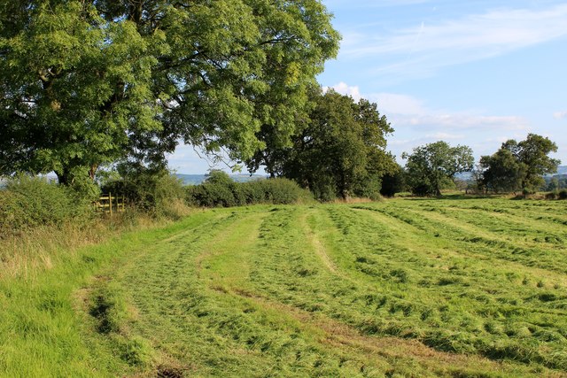
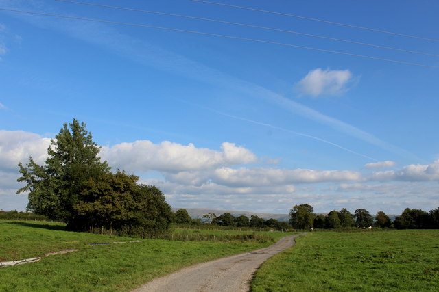
Surrounded by verdant countryside, Bashall Eaves offers ample opportunities for outdoor activities. The village is a starting point for various scenic walks and hikes, allowing visitors to explore the stunning landscapes of the Forest of Bowland Area of Outstanding Natural Beauty. The nearby River Hodder also provides opportunities for fishing and boating.

Overall, Bashall Eaves is a quintessential Yorkshire village, offering a peaceful and idyllic setting for those seeking a rural escape or a taste of the stunning countryside that the region has to offer.

If you have any feedback on the listing, please let us know in the comments section below.

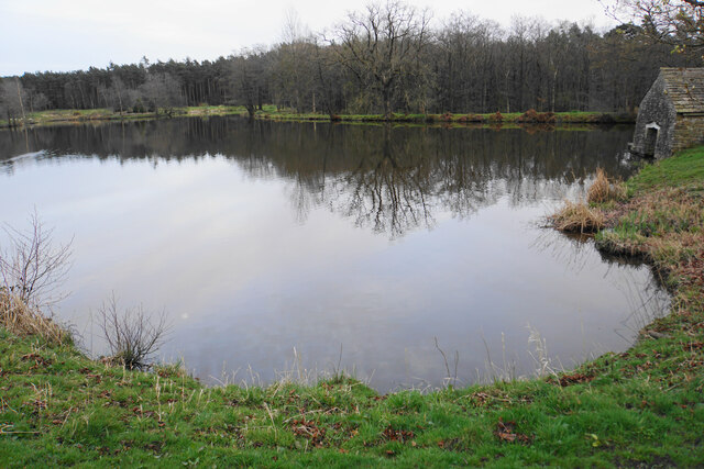
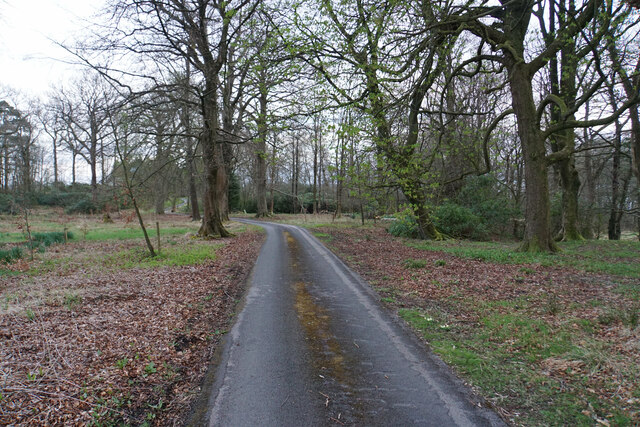
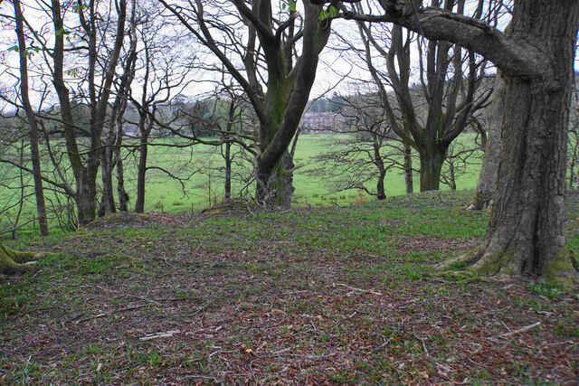
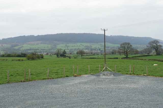
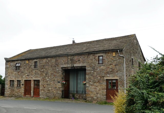
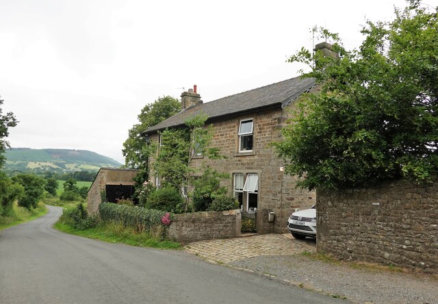
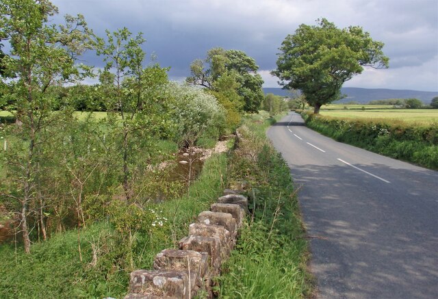
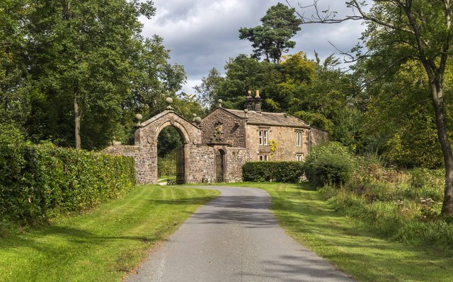
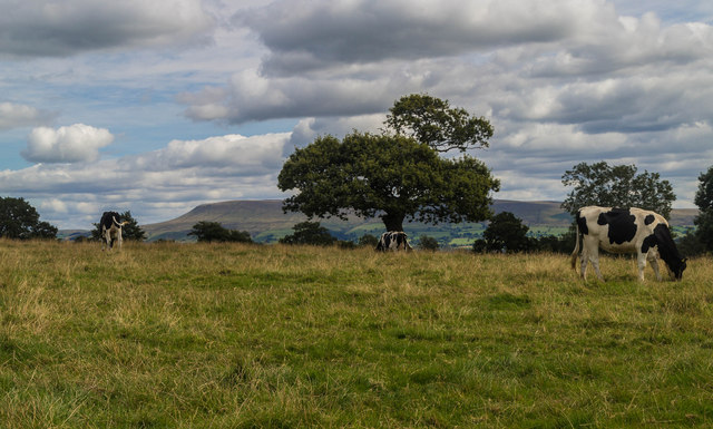
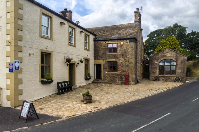
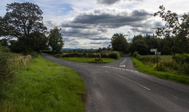
Bashall Eaves Images

Images are sourced within 2km of 53.885377/-2.463957 or Grid Reference SD6943. Thanks to Geograph Open Source API. All images are credited.

Memorial Plaque - Dorothea Margaret Worsley-Taylor
Lake at Browsholme Hall Complete with boathouse.
Lake at Browsholme Hall
Complete with boathouse.
Driveway in Bashall Moor Wood An access driveway for Browsholme Hall.
Driveway in Bashall Moor Wood
An access driveway for Browsholme Hall.
Part of Bashall Moor Wood You can see through the trees at the edge of the wood to Browsholme Hall, to which this wood belongs.
Part of Bashall Moor Wood
You can see through the trees at the edge of the wood to Browsholme Hall, to which this wood belongs.
Farmland near Bashall Eaves Looking towards Longridge Fell from the car park of the Red Pump Inn, some of which can be seen in the foreground.
Farmland near Bashall Eaves
Looking towards Longridge Fell from the car park of the Red Pump Inn, some of which can be seen in the foreground.
Converted farm buildings Old Stable Cottage and Towler's Barn at Bashall Town.
Converted farm buildings
Old Stable Cottage and Towler's Barn at Bashall Town.
Bashall Town Farmhouse Built in 1889 and situated on Twitter Lane.
Bashall Town Farmhouse
Built in 1889 and situated on Twitter Lane.
Bashall Brook alongside road The point where Bashall Brook nears the bend and follows the road going towards Bashall Town.
Bashall Brook alongside road
The point where Bashall Brook nears the bend and follows the road going towards Bashall Town.
Browsholme Hall A gatehouse to Browsholme Hall.
Browsholme Hall
A gatehouse to Browsholme Hall.
Bashall Eaves Farmland near Bashall Eaves.
Bashall Eaves
Farmland near Bashall Eaves.
Red Pump Inn The Red Pump Inn at Bashall Eaves.
Red Pump Inn
The Red Pump Inn at Bashall Eaves.
Moss Barn Diverging roads at Moss Barn.
Moss Barn
Diverging roads at Moss Barn.
River Hodder in Paper Mill Wood The river in a particularly pleasant setting - but the footpath I was following completely disappeared and progress through the woods is almost impossible due to the extreme steep sided nature of the terrain.
No footpath signs were in evidence, although I found a battered stile which was beyond useless.
River Hodder in Paper Mill Wood
The river in a particularly pleasant setting - but the footpath I was following completely disappeared and progress through the woods is almost impossible due to the extreme steep sided nature of the terrain. No footpath signs were in evidence, although I found a battered stile which was beyond useless.
Buck Thorn Marked on the definintive map a Buck Thorn.  A faded sign on the premises, however, indicated this establishment as Thornbuck House
Buck Thorn
Marked on the definintive map a Buck Thorn. A faded sign on the premises, however, indicated this establishment as Thornbuck House
Beside Agden Wood Country scene between Aigden and Horse Hey Farms
Beside Agden Wood
Country scene between Aigden and Horse Hey Farms
Field at Lower Tittherington A public footpath follows the field boundary, en route to reach the access lane from Horse Hey Farm
Field at Lower Tittherington
A public footpath follows the field boundary, en route to reach the access lane from Horse Hey Farm
Access Lane from Horse Hey Farm Leading to the Queen's Highway, and adopted by a public footpath from Horse Hey Farm.
Access Lane from Horse Hey Farm
Leading to the Queen's Highway, and adopted by a public footpath from Horse Hey Farm.
Mason House Mason House Farm.
Mason House
Mason House Farm.
Show me another place!

Bashall Eaves is located at Grid Ref: SD6943 (Lat: 53.885377, Lng: -2.463957)

Division: West Riding

Administrative County: Lancashire

District: Ribble Valley

Police Authority: Lancashire

What 3 Words

///visa.interacts.flag. Near Waddington, Lancashire

Related Wikis

Bashall Eaves

Bashall Eaves is a village and civil parish in the Ribble Valley district of Lancashire, England, about four miles (6 km) west of Clitheroe. The placename...

Browsholme Hall

Browsholme Hall is a privately owned Tudor house in the parish of Bowland Forest Low in the borough of Ribble Valley, Lancashire (although historically...

Waddington, Lancashire

Waddington is a small village, 2 miles (3 km) north-west of Clitheroe in the Ribble Valley, Lancashire, England. The population of the civil parish at...

Cow Ark Farmhouse

Cow Ark Farmhouse is a historic building in the English parish of Bowland Forest Low, Lancashire. It is Grade II listed, built around 1780, and is a sandstone...

Bowland Forest Low

Bowland Forest Low is a civil parish in the Ribble Valley district of Lancashire, England, covering some 5,500 acres (22 km2) of the Forest of Bowland...

St Helen's Church, Waddington

St Helen's Church is in the village of Waddington, Lancashire, England. It is an active Anglican parish church in the deanery of Whalley, the archdeaconry...

Higher Lees Farmhouse

Higher Lees Farmhouse is an historic building in the English parish of Bowland Forest Low, Lancashire. It is Grade II listed, built around 1780, and is...

Bowland Rural District

Bowland was a rural district in the West Riding of Yorkshire from 1894 to 1974. It was named after the Forest of Bowland, which it included. It was formed...

Related Videos

Micro-Lodge | The Woodland Glade | Browsholme Hall and Tithe Barn

For anyone new to our channel, we're Gem and Ant and we are Disney geeks. We mainly vlog our trips to the Disney Parks and ...

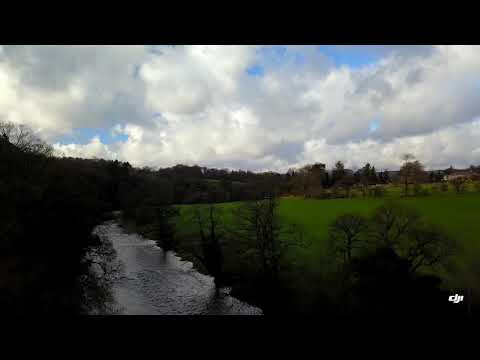
Hodder Bridge, Chaigley... by Mavic.

An afternoon break in the poor weather today. So I took the drone out to stretch her legs.

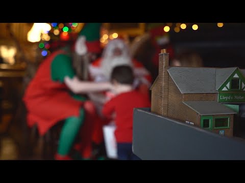
Visiting Father Christmas as Browsholme Hall // Vlogmas 2019

More Chris: Blog: http://christopheroxley.com Twitter: https://twitter.com/TheOxleysDaily Instagram: ...

A wedding at The Out Barn

Clare x Sam's: A beautiful wedding day, on one of the UK's hottest days. At the stunning The Out Barn, in Clitheroe. Shot on Sony ...

Nearby Amenities

Located within 500m of 53.885377,-2.463957
Bashall Eaves
Is In: Ribble Valley, Lancashire
Place: village
Source: npe
Lat/Long: 53.885438/-2.4648502
Post Box
Post Box Type: wall
Royal Cypher: VR
Royal Cypher Wikidata: Q33102356
Lat/Long: 53.8861825/-2.4645427
Restaurant
The Red Pump Inn
Addr City: Clitheroe
Addr Postcode: BB7 3DA
Addr Street: Clitheroe Road
Addr Suburb: Bashall Eaves
Opening Hours: We,Th 12:00-14:00, 18:00-20:30; Fr,Sa 12:00-14:00, 18:00-21:00; Su 12:00-17:30; PH off
Outdoor Seating: yes
Phone: +44 1254 826227
Website: https://www.theredpumpinn.co.uk/
Lat/Long: 53.88393/-2.4641905
Marsdens
Place: neighbourhood
Source: OSOpenDataStreet
Lat/Long: 53.8895071/-2.46124
Coulthurst
Place: neighbourhood
Source: OSOpenDataStreet
Lat/Long: 53.886864/-2.4599504
Moor End Farm
Place: neighbourhood
Source: OSOpenDataStreet
Lat/Long: 53.8878631/-2.4590728
The Old Forge
Is In: Ribble Valley, Lancashire
Place: village
Source: npe
Lat/Long: 53.8863678/-2.4654655
Old Vicarage Farm
Place: neighbourhood
Source: OSOpenDataStreet
Lat/Long: 53.8857518/-2.4606392
Oakmere
Place: neighbourhood
Source: OSOpenDataStreet
Lat/Long: 53.8869279/-2.4572703
Bus Stop
Bus: yes
Public Transport: platform
Lat/Long: 53.8851852/-2.4641565
Give Way
Direction: forward
Lat/Long: 53.8853892/-2.4638929
Bench
Lat/Long: 53.8856022/-2.4638322
The data included in this document is from www.openstreetmap.org. The data is made available under ODbL.

Have you been to Bashall Eaves?

Leave your review of Bashall Eaves below (or comments, questions and feedback).