Basford Green
Settlement in Staffordshire Staffordshire Moorlands
England
Basford Green
Basford Green is a charming village located in the county of Staffordshire, England. Situated just 3 miles northeast of the bustling town of Newcastle-under-Lyme, Basford Green offers a peaceful and idyllic setting for its residents.
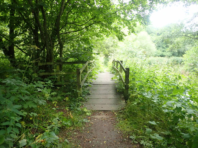
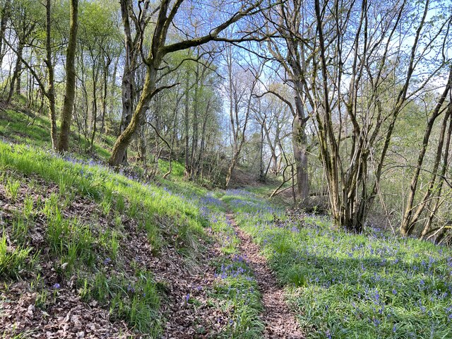
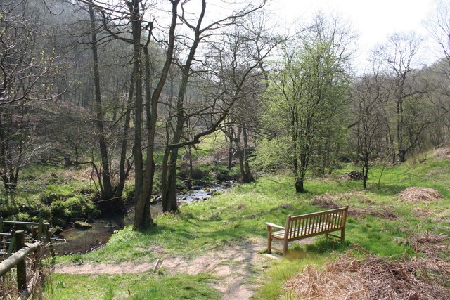
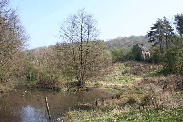
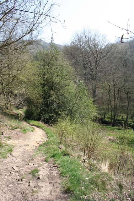
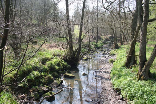
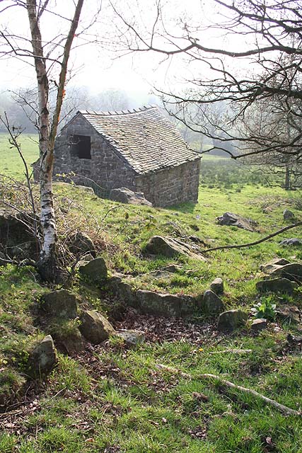
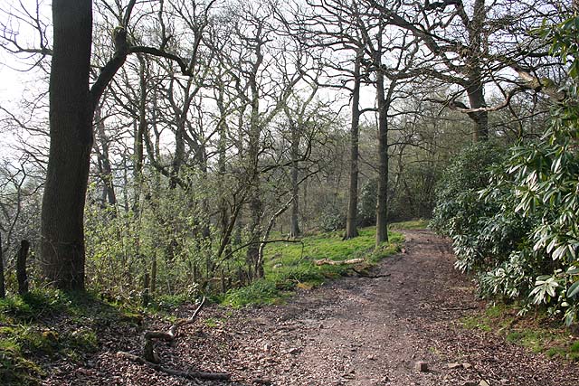
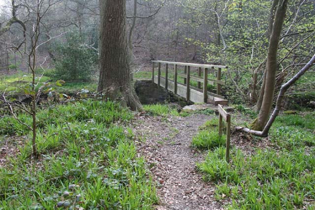
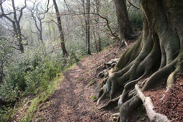
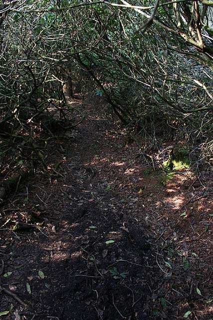
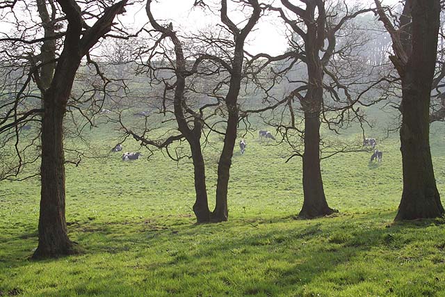
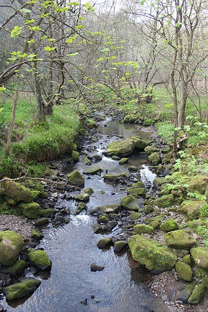
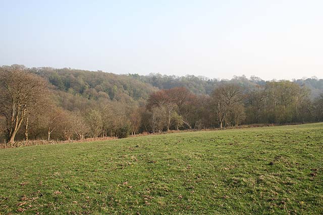
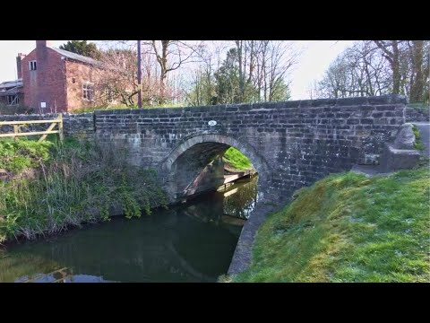
The village is known for its picturesque landscapes, with rolling green fields and meandering streams that add to its natural beauty. The architecture of Basford Green is predominantly traditional, with many historic buildings that have stood the test of time. The village church, St. Lawrence, is a notable example of medieval architecture and is a prominent feature of the local skyline.
Basford Green is a close-knit community, with a friendly and welcoming atmosphere. The residents take great pride in their village and actively participate in various community events and initiatives. The village hall serves as a central hub for social gatherings and is often used for hosting events, such as fairs and fundraisers.
Despite its rural setting, Basford Green benefits from its close proximity to nearby amenities. The village is well-connected by road, with easy access to major transport links. Residents can enjoy the convenience of nearby shopping centers, schools, and healthcare facilities, while still being able to retreat to the tranquility of village life.
Overall, Basford Green offers a delightful blend of natural beauty, historical charm, and community spirit. It provides an ideal setting for those seeking a peaceful and close-knit village lifestyle, while remaining connected to nearby towns and cities.
If you have any feedback on the listing, please let us know in the comments section below.
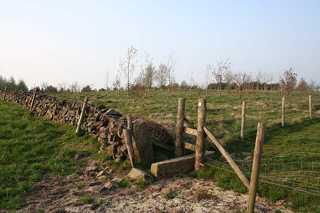
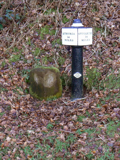
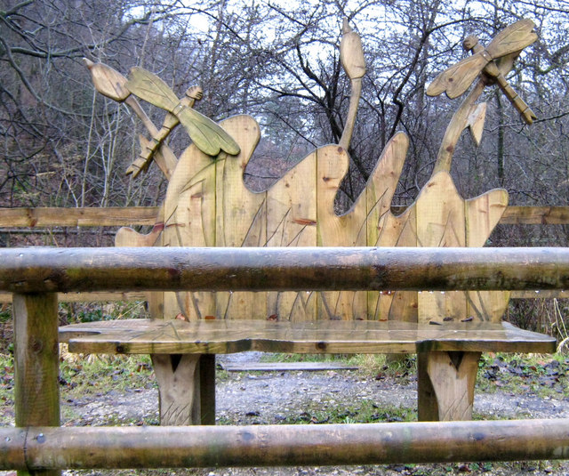
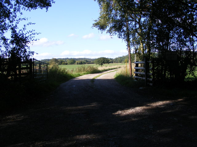
Basford Green Images
Images are sourced within 2km of 53.062078/-2.013397 or Grid Reference SJ9951. Thanks to Geograph Open Source API. All images are credited.
Basford Green is located at Grid Ref: SJ9951 (Lat: 53.062078, Lng: -2.013397)
Administrative County: Staffordshire
District: Staffordshire Moorlands
Police Authority: Staffordshire
What 3 Words
///relegate.jetliner.clocking. Near Cheddleton, Staffordshire
Nearby Locations
Related Wikis

Churnet Valley Railway
The Churnet Valley Railway is a preserved standard gauge heritage railway in the Staffordshire Moorlands of Staffordshire, England. It operates on part...
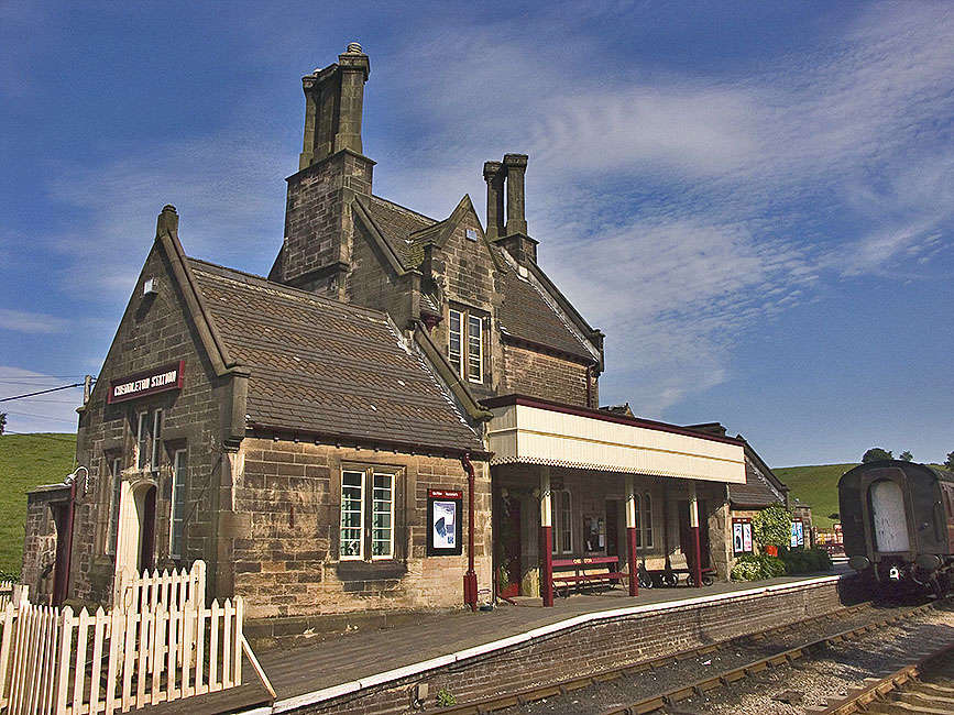
Cheddleton railway station
Cheddleton railway station is a former passenger railway station of the North Staffordshire Railway (NSR) and is now a preserved station on the Churnet...

Coombes Valley RSPB reserve
Coombes Valley RSPB reserve (grid reference SK005525) is a nature reserve, run by the RSPB, near the town of Leek in Staffordshire, England. It is best...

Ashcombe Park, Staffordshire
Ashcombe Park is a country house and estate near Cheddleton, in Staffordshire, England. The house is a Grade II* listed building, listed on 2 May 1953...

Cheddleton
Cheddleton is an ancient parish and village in the Staffordshire Moorlands, near to the town of Leek, England. == History == The village is divided into...

Staffordshire Moorlands (UK Parliament constituency)
Staffordshire Moorlands is a constituency represented in the House of Commons of the UK Parliament since 2010 by Karen Bradley, a Conservative who served...

Cheddleton Flint Mill
Cheddleton Flint Mill is a water mill situated in the village of Cheddleton in the English county of Staffordshire. The mill race takes water from the...

Leek Brook railway station
Leek Brook railway station is a passenger station in Staffordshire, Great Britain. == History == Leek Brook railway station was opened by the North Staffordshire...
Related Videos
Misty Snow Forest Walk, English Countryside 4K
https://www.buymeacoffee.com/Daveswalks All support is hugely appreciated and it helps me keep the channel going! No talking ...

Misty Moorlands Snow Walk, English Countryside 4K
https://www.buymeacoffee.com/Daveswalks All support is hugely appreciated and it helps me keep the channel going! No talking ...
Caldon Canal to Stoke on Trent Walk, English Countryside 4K
https://www.buymeacoffee.com/Daveswalks All support is hugely appreciated and it helps me keep the channel going! No talking ...

Consall Woods walk 2 | प्रकृति | भ्रमण | beautiful nature | hiking in rains | Camping in England
I_survived_another_wet_camp #Survival_Camp_in_the_UK #nature #life_of_a_student #hindi #uk #viralvideos #indianvlogger ...
Nearby Amenities
Located within 500m of 53.062078,-2.013397Have you been to Basford Green?
Leave your review of Basford Green below (or comments, questions and feedback).