Mill Wood
Wood, Forest in Staffordshire Staffordshire Moorlands
England
Mill Wood

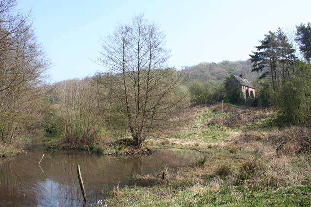
Mill Wood is a picturesque woodland located in Staffordshire, England. Covering an area of approximately 50 acres, this forested area is renowned for its natural beauty and tranquil atmosphere. Situated near the village of Milford, Mill Wood is easily accessible and attracts both locals and tourists alike.
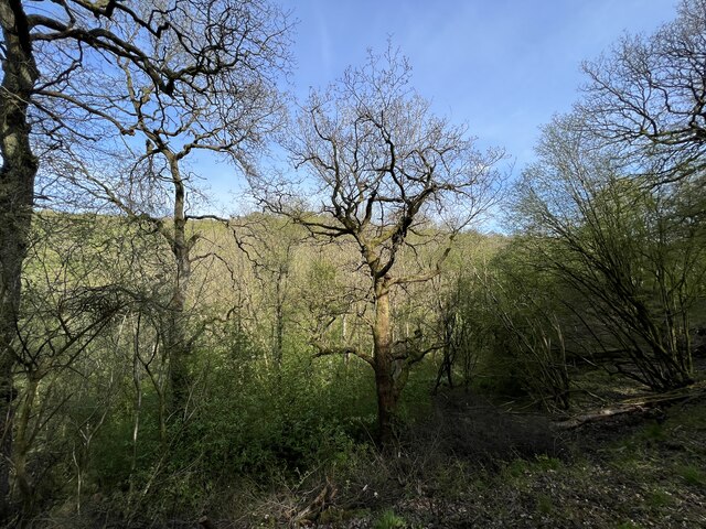
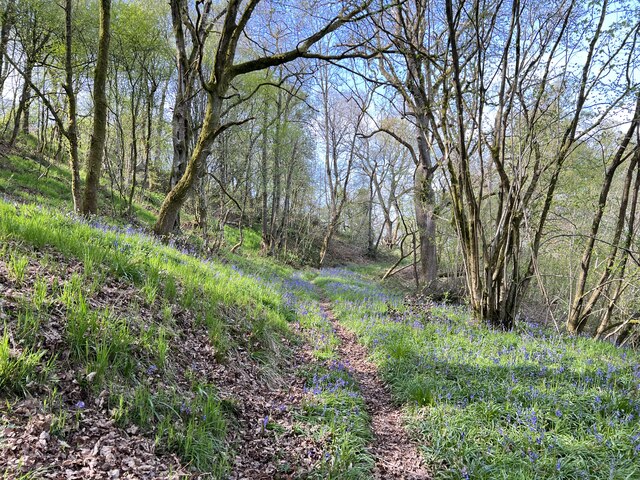
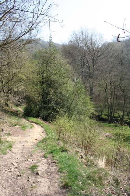
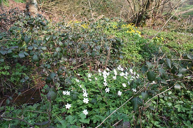
The wood is predominantly composed of deciduous trees such as oak, birch, and beech, creating a vibrant and diverse ecosystem. As visitors venture through the wood, they are greeted by a carpet of bluebells and various wildflowers during the spring and summer months. In autumn, the woodland transforms into a kaleidoscope of vibrant colors as the leaves change, offering a stunning display for nature enthusiasts.
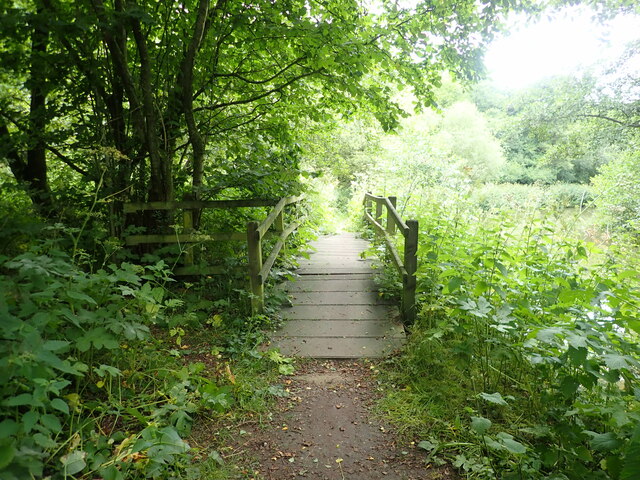
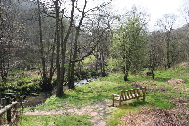
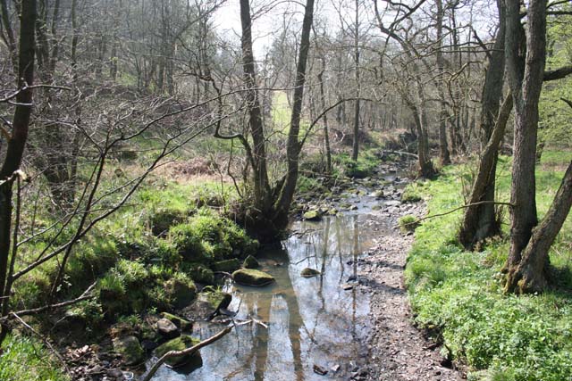
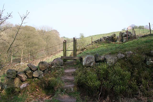
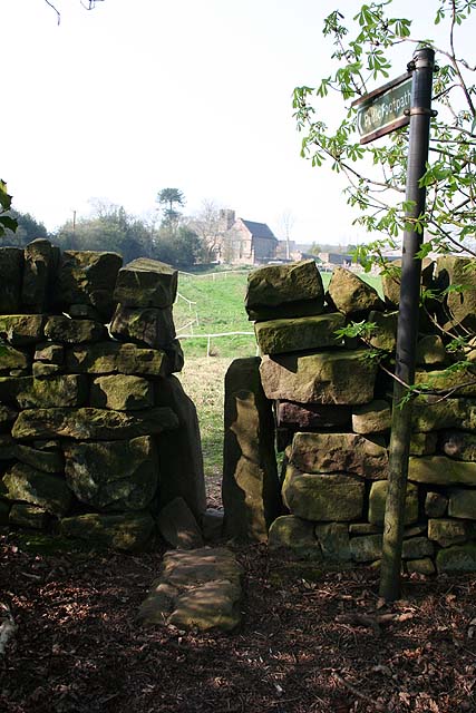
A network of well-maintained footpaths crisscrosses through Mill Wood, providing visitors with the opportunity to explore its hidden treasures. The paths wind their way through the trees, leading to a small stream that meanders through the wood, adding to the tranquility of the surroundings. Along the way, visitors may encounter a variety of wildlife, including squirrels, rabbits, and a myriad of bird species.
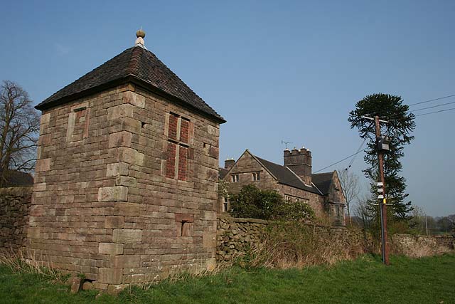
The wood also boasts a rich history, with remnants of an old watermill still visible. This historical feature adds a touch of intrigue and serves as a reminder of the area's past significance.
Overall, Mill Wood is a haven for nature lovers and those seeking a peaceful retreat. Its enchanting beauty, diverse flora and fauna, and historical significance make it a must-visit destination in Staffordshire.
If you have any feedback on the listing, please let us know in the comments section below.
Mill Wood Images
Images are sourced within 2km of 53.059292/-2.0018989 or Grid Reference SJ9951. Thanks to Geograph Open Source API. All images are credited.


Mill Wood is located at Grid Ref: SJ9951 (Lat: 53.059292, Lng: -2.0018989)
Administrative County: Staffordshire
District: Staffordshire Moorlands
Police Authority: Staffordshire
What 3 Words
///riverbed.large.promote. Near Cheddleton, Staffordshire
Nearby Locations
Related Wikis

Coombes Valley RSPB reserve
Coombes Valley RSPB reserve (grid reference SK005525) is a nature reserve, run by the RSPB, near the town of Leek in Staffordshire, England. It is best...

Staffordshire Moorlands (UK Parliament constituency)
Staffordshire Moorlands is a constituency represented in the House of Commons of the UK Parliament since 2010 by Karen Bradley, a Conservative who served...

Churnet Valley Railway
The Churnet Valley Railway is a preserved standard gauge heritage railway in the Staffordshire Moorlands of Staffordshire, England. It operates on part...
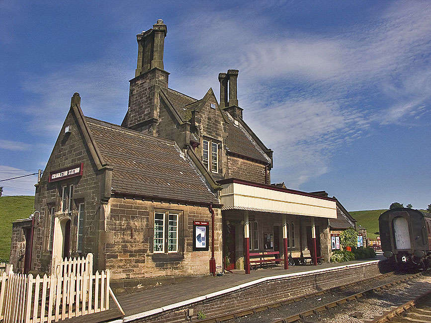
Cheddleton railway station
Cheddleton railway station is a former passenger railway station of the North Staffordshire Railway (NSR) and is now a preserved station on the Churnet...

Above Church
Above Church is a hamlet about 0.6 kilometers (0.4 mi) northwest of Ipstones in the English county of Staffordshire. It is located at grid reference SK016504...

Consall railway station
Consall railway station is a former passenger railway station of the North Staffordshire Railway (NSR) and is now a preserved station on the Churnet Valley...

Ipstones
Ipstones is a village and civil parish in the north of the English county of Staffordshire. Ipstones is part of the Staffordshire Moorlands district; within...

Ashcombe Park, Staffordshire
Ashcombe Park is a country house and estate near Cheddleton, in Staffordshire, England. The house is a Grade II* listed building, listed on 2 May 1953...
Nearby Amenities
Located within 500m of 53.059292,-2.0018989Have you been to Mill Wood?
Leave your review of Mill Wood below (or comments, questions and feedback).